
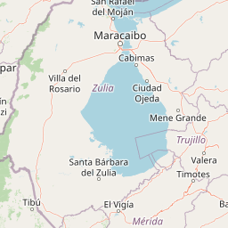
Streams
Park geography
Analyzing the terrain, elevation ranges, and physical landscape of this Venezuelan protected area
Sierra Nevada National Park Geographic Profile, Boundary Map, and Mountain Landscape Data
This geographic record details the physical configuration of Sierra Nevada National Park within the Cordillera de Mérida of Venezuela. The structured data includes a total area of 2764.46 square kilometers and a complex vertical range spanning from 400 meters to 4978 meters at the highest peak.
Venezuela's Alpine Crown in the High Andes
Sierra Nevada National Park
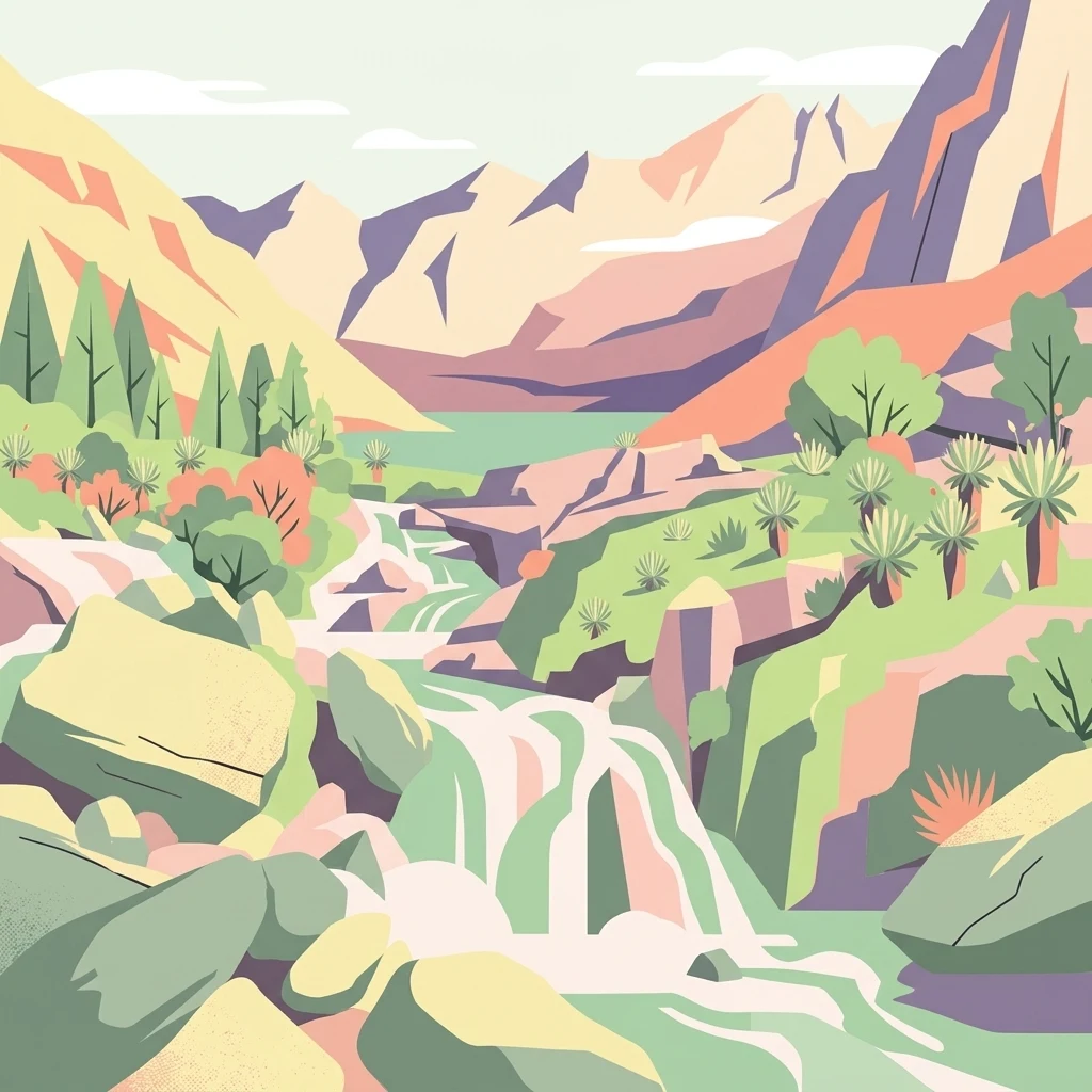
Sierra Nevada National Park is a vast protected area spanning the high Andes in western Venezuela, encompassing the spectacular Sierra Nevada de Mérida and Sierra de Santo Domingo mountain ranges. Established in 1952, the park protects a remarkable vertical world where cloud forests give way to glacial valleys, paramo moorlands, and some of the nation's highest peaks. The park is home to Pico Bolívar, Venezuela's tallest mountain at 4,978 meters, along with other towering summits including Pico Humboldt, Pico La Concha, and Pico Bonpland. With an area of 276,446 hectares stretching across both Mérida and Barinas states, the park preserves critical ecosystems ranging from Andean cloud forests to high-altitude páramo habitats. Its ecological significance is amplified by being one of the few remaining refuges for the endangered spectacled bear, the only bear species native to the Venezuelan Andes.
- Location
- Venezuela
- Park type
- National park
- Established
- 1952
- Area
- 2,764.5 km²
- Highest point
- 4,978 m
Location overview
Exploring regional placement and territorial reach within Barinas
Sierra Nevada National Park Geography and Regional Setting in Venezuela
Sierra Nevada National Park is located in Venezuela, positioned within the regional boundaries of Barinas. The protected territory represents an inland, non-transboundary area containing no marine or coastal zones.
- Countries
- Venezuela
- Regions
- Barinas
- Primary location
- Venezuela
- Geographic setting
- Inland
Boundary and coordinates
Interactive boundary geometry spanning 2764.46 square kilometers
Sierra Nevada National Park Boundary Map and Spatial Extent
Mapped park geometry provides complete spatial context for analyzing protected boundaries. Associated geographic metrics outline coordinate limits, geographic spans, and total area measurements.
- Boundary area
- 2,756 km²
- Boundary perimeter
- 285.1 km
- Northernmost point
- 8.8823° N
- Southernmost point
- 8.1759° N
- Easternmost point
- 70.5489° W
- Westernmost point
- 71.291° W
- Geographic centre
- 8.5514° N, 70.88° W
- North–south span
- 78.1 km
- East–west span
- 81.7 km
Elevation and terrain
Vertical range profile and recorded physical landforms
Sierra Nevada National Park Terrain and Elevation Summary
Recorded elevation metrics outline the mountainous relief of Sierra Nevada National Park, spanning from low valley floors to high summits. Associated feature cards detail individual peaks, streams, and lakes located within the protected boundary.
- Minimum elevation
- 400 m
- Maximum elevation
- 4,978 m
- Highest point
- 4,978 m
Selected named natural features
Peaks
Loma de Mucutaray
Peaks
Cerro Los Muchachos
Peaks
Silla del Diablo
Rivers
Río Acequia
Peaks
Peña El Hombre
Environmental setting
Alpine climate zones, forest cover, and diverse terrain classifications
Environmental Classifications and Physical Setting of Sierra Nevada National Park
Recorded landscape features, habitat types, and relief classifications form complementary ways to read the physical setting of Sierra Nevada National Park. Connected atlas categories link these stored environmental attributes directly to their corresponding protected areas.
- Relief
- Mountain
- Climate
- Alpine
- Water
- Major water bodies
- Forest cover
- Mostly forested
- Seasonality
- Year-round
Landscape features
Mountains · Valleys · Rivers · Lakes · Wetland · Forest · Cliffs
Habitat types
Temperate broadleaf forest · Montane forest · Alpine meadow · Grassland · Riverine habitat · Wetland
Park atlas
Compare regional park geography and trace connected protected landscapes across the high Venezuelan Andes.
Explore More National Parks and Protected Areas Near Sierra Nevada National Park in the Venezuelan Andes
Explore other national parks and protected areas located near Sierra Nevada National Park, comparing their distinct Andean peaks, glacial valleys, and cloud forest or páramo ecosystems. Use this expanded geographic context to understand the broader spread of conservation landscapes across the Venezuelan Andes and discover more about regional protected area efforts.
National parkVenezuela
Park boundaries overlap#1 closest
Northwest

Sierra La Culata National Park: Protected Landscape Atlas of the Venezuelan Andes
Explore the páramo ecosystems and mapped terrain of this Venezuelan national park.
Sierra La Culata National Park offers a profound look into the unique geography of the Venezuelan Andes. This protected national park is characterized by its expansive páramo ecosystems, dramatic mountain peaks, and glacial lagoons, creating a distinctive high-altitude wilderness. Use this atlas-focused entry to understand the park's mapped boundaries and its significant role within the region's natural landscape context.
- Area
- 2,004 km²
- Established
- 1989
- IUCN
- II
- Relief
- Mountain
Natural monumentMérida
About 12 km away#2 closest
West
Laguna de Urao Natural Monument: Geographic Profile and Protected Andean Landscape
Saline tectonic lake located in the Mérida region of Venezuela
Laguna de Urao is a singular protected natural feature of tectonic origin situated in the semi-arid Andean landscape of Mérida. Known for the accumulation of the urao mineral, this saline water body serves as an important geographic landmark that anchors the cultural and geological identity of the local surroundings.
- Established
- 1979
- Relief
- Upland
- Water
- Major water bodies
National parkBarinas
About 17 km away#3 closest
Southwest
Tapo-Caparo National Park: Mapped Boundaries and Geographic Context in Barinas, Venezuela
Explore Venezuela's Tapo-Caparo National Park's protected terrain.
Tapo-Caparo National Park is a vital protected area located in the Barinas region of Venezuela. This page offers an atlas-focused exploration of its mapped natural landscape and geographic significance within the country. Understand the protected boundaries and the specific terrain features that define Tapo-Caparo National Park, providing essential context for regional geography and protected land discovery.
- Area
- 2,050 km²
- Established
- 1992
- IUCN
- II
- Relief
- Mountain
National parkTrujillo
About 21 km away#4 closest
Northeast
Parque nacional Dr. José Gregorio Hernández: Andean Mountain and Watershed Geography
High-altitude protected habitats in the Venezuelan Andes
This national park protects a vast stretch of Andean terrain, serving as an essential ecological link between major mountain reserves. Its steep ridges and river valleys represent a critical habitat for the spectacled bear while securing the water sources of regional watersheds.
- Area
- 505 km²
- Established
- 2021
- IUCN
- II
- Relief
- Mountain
Natural monumentTrujillo
About 30 km away#5 closest
North
Monumento Natural Teta de Niquitao-Guirigay: Geography and Protected Area Overview
High-mountain Andean terrain and glacial lake basins in Trujillo.
Monumento Natural Teta de Niquitao-Guirigay serves as a primary example of high-Andean geography, featuring summits exceeding 4,000 meters and unique glacial landforms. The protected area encompasses diverse ecosystems from cloud forest to high-altitude páramo, functioning as a critical sanctuary for regional highland species and a defining landmark within the mountain landscape of Trujillo.
- Area
- 335.36 km²
- Established
- 1996
- Relief
- Mountain
- Climate
- Alpine
Natural monumentMérida
About 40 km away#6 closest
West
Monumento natural Meseta la Galera: Protected Andean Plateau and Geography Map
Analyzing the fluvial terrain and forest landscape of Tovar, Merida.
Monumento natural Meseta la Galera serves as a vital geographic landmark near Tovar, Merida. This protected natural monument preserves a rare flat topped plateau rising over the Mocoties River valley. Examine the structured map context of this 95 hectare forest refuge and its defined topographical boundaries within the Andean mountain foothills.
- Area
- 0.95 km²
- Established
- 1992
- IUCN
- III
- Relief
- Highland
National parkTrujillo
About 59 km away#7 closest
Northeast
Parque nacional Guaramacal: Mapped Protected Landscapes and Andean Mountain Geography
Defining the boundaries and ecological terrain of the Ramal de Guaramacal.
Parque nacional Guaramacal captures a remarkable ecological transition in a compact space, rising from sub-Andean forests to summits above 3,000 meters. This record outlines the park geography, covering the steep ridgelines, glacial lake basins, and the endemic-rich cloud forest zones that define this significant Venezuelan protected area.
- Area
- 215 km²
- Established
- 1988
- IUCN
- II
- Relief
- Mountain
National parkVenezuela
About 60 km away#8 closest
Northeast
General Cruz Carrillo en Guaramacal National Park: Venezuela's National Park Landscape
Mapped protected areas and regional geography.
Delve into the protected landscape of General Cruz Carrillo en Guaramacal National Park, a national park situated in Venezuela. This page provides essential geographic context, focusing on the park's mapped boundaries and its role as a protected natural area. Understand its place within the regional geography and discover its unique landscape characteristics, offering a foundation for detailed atlas exploration.
MoriAtlas Explorer
Continue Exploring Sierra Nevada National Park's Geographic Context and Mapped Terrain
Deepen your understanding of Sierra Nevada National Park by examining its specific geographic features and protected landscape boundaries. Discover how this significant national park fits into the broader atlas of Venezuela's natural regions, providing valuable context for its unique alpine environment and ecological importance.
Browse next
Global natural geography
Explore related park routes
Explore MoriAtlas Global ParksBrowse All MoriAtlas ParksGlobal Park Map DiscoveryMoriAtlas: Browse All CountriesBrowse All MoriAtlas ContinentsNational Park Environment AtlasGrand Canyon National Park AtlasYellowstone National Park AtlasYosemite National Park Atlas and GeographySerengeti National Park AtlasGalápagos National Park Protected LandscapeBanff National Park Geography and AtlasKruger National Park Atlas EntryUluṟu-Kata Tjuṯa National Park AtlasExplore Uluru-Kata Tjuta National Park GeographyPlitvice Lakes National Park AtlasFiordland National Park Protected LandscapeGreat Smoky Mountains National Park AtlasAfghanistan National Parks and Protected AreasAlbania National Parks and Protected AreasAlgeria National Parks and Protected AreasAmerican Samoa National Parks and Protected AreasAndorra National Parks and Protected AreasAngola National Parks and Protected AreasAntarctica National Parks and Protected AreasAntigua and Barbuda Park List