Mori Atlas logo
Park earthquake history

Explore recorded historical earthquake data and epicentre proximity for this wetland protected area.

Historical Catalogue of Seismic Events Recorded Near Sultanpur National Park in Haryana, India

Review a detailed chronological registry of seismic events recorded within the vicinity of Sultanpur National Park in the Haryana region. This database provides accessible records including event magnitude, focal depth, and calculated distance from the park boundary, allowing for a clearer understanding of local seismic history within this significant Indian wetland environment.

Related tags

wetland conservationbirdwatchingRamsar sitemigratory birdsNorth India

Wetland bird sanctuary and Ramsar-protected haven in the Delhi NCR region

Sultanpur National Park

Sultanpur National Park is a compact wetland protected area located in the Gurgaon district of Haryana, northern India, approximately 15 kilometers from the urban center of Gurugram and roughly 50 kilometers from Delhi. The park encompasses roughly 1.43 square kilometers of marshland, shallow water bodies, and riparian vegetation that creates a critical habitat within the intensely developed Delhi National Capital Region. Originally established as a bird sanctuary in 1972 following advocacy by biologist Peter Jackson, the reserve was elevated to national park status in 1991 and gained international recognition as a Ramsar Wetland of Importance in May 2021. The park serves as a vital ecological refuge for both resident and migratory bird populations, functioning as a seasonal waypoint for over 100 migratory bird species traveling between Central Asia and the Indian subcontinent.

Location
India
Park type
National park
Established
1991
Area
1.4 km²
Sultanpur National Park Protected Area

Set reported epicentres against Sultanpur’s compact wetland, lake, forest and grassland

Investigate earthquake observations around Sultanpur National Park

Explore source-linked earthquake records around Sultanpur National Park, a 1.43 km² lowland park with major water presence across wetlands, lakes, forest and grassland; compare reported time, magnitude, depth, locality and park distance. Geographic association does not place every event inside the protected boundary or demonstrate wetland effects, seismic cause, present risk or future activity.

Sort by
Magnitude
Location

This page describes catalogued earthquakes associated with the park by epicentre location and distance. It does not establish causation, assess current danger, or predict future earthquakes.

No earthquake records match the current filters

Park atlas

Continue from Sultanpur National Park earthquake records

Discover further protected places after Sultanpur National Park

Continue from this Ramsar bird sanctuary to an independent collection of protected places selected to widen exploration. Their appearance does not indicate similar wetland ecology, national park designation, seismic conditions, or depth of supporting records.
Wildlife reserveHaryana
32 km away#1 closest

West

Bhindawas Wildlife Sanctuary: Protected Wetland Mapping and Regional Landscape Context

A key Ramsar site within the Sahibi River ecological corridor of Haryana

Examine the geographic footprint of Bhindawas Wildlife Sanctuary, a significant 412-hectare wetland in Haryana. This protected area supports dense migratory waterbird populations by maintaining a stable aquatic environment through an engineered network of canals and natural rainfall. The sanctuary stands as an essential component of the regional forest and wetland chain linking the Aravalli hills to the Yamuna floodplain.

Area
4.12 km²
Established
1986
IUCN
IV
Relief
Lowland
Wildlife reserveUttar Pradesh
About 146 km away#2 closest

Southeast

Shekha Bird Sanctuary: Wildlife Reserve and Wetland Geography in the Uttar Pradesh Ganges Plain

A perennial freshwater lake habitat for migratory waterbirds.

Located near Aligarh in the upper Ganges plain, Shekha Bird Sanctuary functions as a high-value wildlife reserve. This protected wetland, fed by local canal systems, supports a concentrated population of resident and migratory waterbirds, offering a clear window into the ecological importance of small-scale freshwater landscapes in densely populated agricultural regions.

Area
0.25 km²
Established
2009
IUCN
IV
Relief
Lowland
Wildlife reserveUttar Pradesh
146 km away#3 closest

Northeast

Haiderpur Wetland Wildlife Reserve: Exploring the Ganges Floodplain and Migratory Flyways

A critical Ramsar-designated freshwater marshland within Uttar Pradesh

Spanning over 6,900 hectares, Haiderpur Wetland represents a significant protected area where open water and floodplain terrain create a haven for migratory birds along the Central Asian Flyway. The reserve, positioned within the broader Hastinapur Wildlife Sanctuary, offers a detailed look at how artificial water control impacts local riverine biodiversity and landscape development in North India.

Area
69 km²
Established
1984
Water
Water-dominated
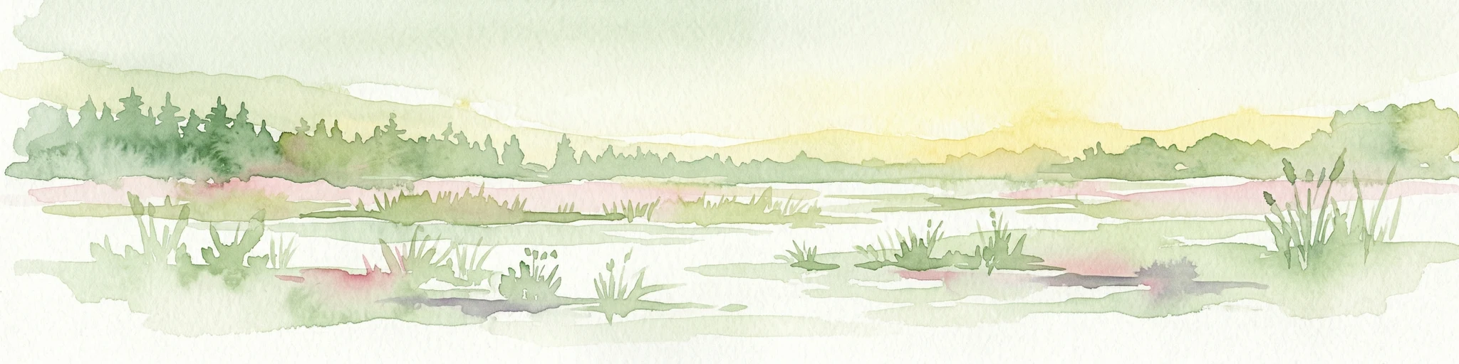
Watercolor illustration of a wetland landscape with grasses, trees, and a sunset
National parkIndia
151 km away#4 closest

Southeast

Keoladeo National Park: India's Renowned Wetland Bird Sanctuary and Protected Landscape

Explore its mapped terrain and critical avian habitat near Bharatpur.

Keoladeo National Park, a designated national park in India, represents a critical hub for wetland conservation and avian biodiversity. The park's meticulously managed wetland system, a mosaic of shallow waters and grasslands, provides essential habitat for thousands of resident and migratory birds from across Eurasia. Situated near Bharatpur, this protected landscape offers a unique opportunity to study the intersection of arid and fertile plains geography and serves as a vital stopover point on major bird flyways, underscoring its importance in regional conservation efforts.

Area
28.7 km²
Established
1982
IUCN
II
Visitors
147K annual
Wildlife reserveUttar Pradesh
161 km away#5 closest

Southeast

Sur Sarovar Wildlife Reserve: A Protected Wetland Sanctuary in Uttar Pradesh

Mapped freshwater landscapes and migratory bird habitats.

Sur Sarovar serves as a significant wildlife reserve in Uttar Pradesh, characterized by the distinct geometric shape of Keetham Lake. This protected wetland provides essential breeding habitat for diverse waterbird species across its shallow margins and islands. The area also hosts a vital sloth bear rescue center, anchoring its status as a key site for wildlife rehabilitation and conservation efforts within the broader Gangetic plains region.

Area
7.13 km²
Established
1991
Water
Water-dominated
National parkUttarakhand
209 km away#6 closest

Northeast

Jim Corbett National Park: Uttarakhand National Park and Protected Landscape Atlas

Mapped Boundaries and Regional Geographic Context

Jim Corbett National Park offers a specific entry point for understanding protected landscapes and their geographic significance. As a designated national park within Uttarakhand, India, it provides a distinct case study for exploring mapped boundaries and regional natural terrain. This detailed view allows for a deep dive into the park's identity as a protected area, highlighting its placement within the larger atlas of India's natural heritage and its contribution to the Himalayan geographic narrative.

Area
1,288.31 km²
Established
1936
IUCN
II
Visitors
365K annual
National parkUttarakhand
About 215 km away#7 closest

Northeast

Rajaji National Park: Uttarakhand National Park and Tiger Reserve Landscape

Sivalik Hills geography and protected area context

Rajaji National Park is a vital protected landscape situated in the Uttarakhand region of India, recognized as both a national park and a tiger reserve. Its territory spans across the Sivalik Hills, offering a diverse terrain characterized by deciduous forests and riparian ecosystems. The park's location along the Ganga river significantly influences its ecology, providing a unique geographic context for its protected status and wildlife significance.

Area
820.5 km²
Established
1983
IUCN
II
Relief
Highland
National parkHaryana
About 219 km away#8 closest

North

Kalesar National Park: Exploring Haryana's Unique Sal Forest Protected Landscape

Discover mapped terrain and regional geography within the Shivalik foothills.

Kalesar National Park, located in the Shivalik foothills of Haryana, is a crucial protected area renowned for its natural sal forest, a rare ecological feature in the state. Spanning approximately 53 square kilometers, the park's diverse terrain offers insights into regional geography and conservation, serving as a vital habitat for leopards and a corridor for wild elephants. Its mapped boundaries encompass a unique landscape that contrasts sharply with surrounding agricultural lands, making it a significant point of study for protected-area enthusiasts.

Area
53 km²
Established
2003
IUCN
IV
Relief
Highland
MoriAtlas Explorer

Continue Exploring Sultanpur National Park's Geographic and Protected Landscape Identity

Deepen your understanding of Sultanpur National Park by examining its precise mapped boundaries and its role within the regional geography of Haryana. This detailed view supports structured discovery of protected lands, offering valuable context for anyone interested in the atlas of India's natural landscapes. Explore further to grasp the full geographic significance of this protected area.