Mori Atlas logo
Park earthquake history

Review documented seismic events associated with this rift valley and tectonic boundary landscape.

Recorded Earthquake History and Seismic Activity Near Þingvellir National Park in Southern Iceland

This historical collection details earthquake records proximity-linked to Þingvellir National Park in the Southern Region of Iceland. The catalogue presents data points such as event dates, magnitude, focal depth, and calculated distance from the protected area boundaries. Each entry facilitates a clearer understanding of local seismic activity within this geologically significant rift valley, drawing on verified observational data to map patterns of movement near the North American and Eurasian plate boundary.

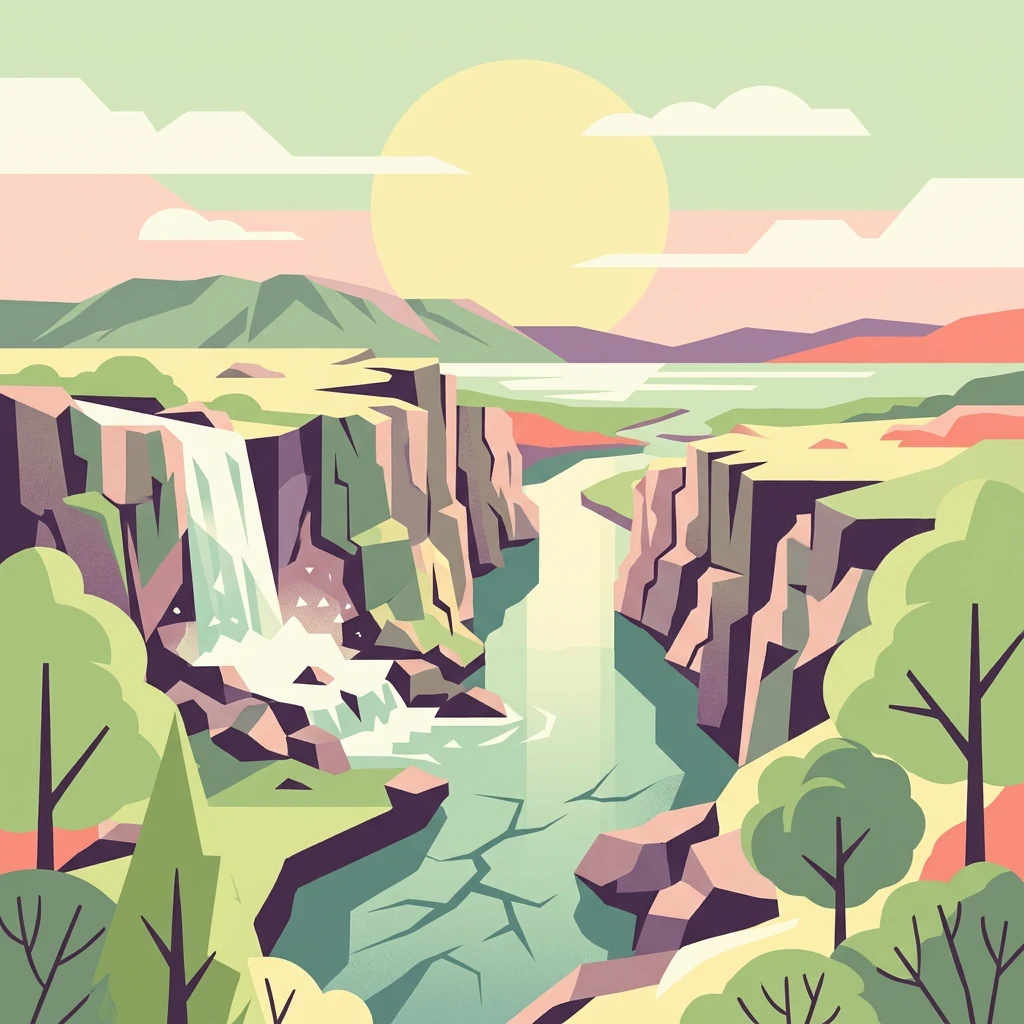
Stylized illustration showing a river canyon with a waterfall, cliffs, mountains, and trees under a bright sun

Iceland's ancient parliament site on the Mid-Atlantic Ridge

Þingvellir National Park

Þingvellir National Park is a place of profound historical and geological significance in southwestern Iceland, situated approximately 40 kilometers northeast of Reykjavík within the municipality of Bláskógabyggð. The park occupies a dramatic rift valley that marks the visible boundary between the North American and Eurasian tectonic plates, making it one of the few places on Earth where continental drift can be observed directly at the surface. This extraordinary geological setting, characterized by deep fissures, scarps, and volcanic formations, creates a landscape of stark beauty that has drawn visitors for centuries. The park's cultural significance is equally remarkable. Þingvellir was the site of the Althing, Iceland's national parliament, from its founding in 930 until the final assembly session was held there in 1798—making it one of the oldest parliamentary sites in the world. The Law Rock (Lögberg) served as the focal point where chieftains and citizens gathered to debate laws, settle disputes, and conduct the business of the emerging Icelandic nation. This 868-year period of continuous parliamentary activity at Þingvellir laid the foundation for Icelandic national identity and political tradition. Established as Iceland's first national park in 1930 to commemorate the thousandth anniversary of the Althing, Þingvellir was designated a UNESCO World Heritage Site in 2004 in recognition of its outstanding universal value as a cultural landscape. The park encompasses the historic assembly grounds, the beautiful Þingvallavatn lake—the largest natural lake in Iceland—and the remarkable geological features of the rift valley.

Location
Iceland
Park type
National park
Established
1930
Area
92.7 km²
Þingvellir National Park Protected Landscape

Analyze historical seismic events by magnitude, depth, and proximity to the park boundary

Searchable Earthquake Records Associated with Þingvellir National Park

Seismic data logs compile historical regional events based on epicentre coordinates and calculated physical distance from Þingvellir National Park. Individual entries in the catalogue provide documented dates, magnitudes, depths, reported locations, calculated park distances, and direct links to primary source agencies for verification.

Sort by
Magnitude
Location

This page describes catalogued earthquakes associated with the park by epicentre location and distance. It does not establish causation, assess current danger, or predict future earthquakes.

No earthquake records match the current filters

Park atlas

Expand your search to explore diverse natural reserves and geographic territories

Discover More National Parks and Protected Landscapes Beyond Þingvellir

After examining the physical history of Þingvellir National Park, visitors can expand their geographic journey by searching other major protected areas. Mapped coordinates and regional directories help researchers compare different landscapes, ecological zones, and park boundaries across the globe.
Watercolor illustration showing a landscape with green fields, a winding path, pink flowers, and mountains in the background
National park
103 km away#1 closest

East

Vatnajökull National Park: Iceland's Expansive Protected Glacier and Volcanic Terrain

Mapped boundaries of a UNESCO World Heritage site dynamic with fire and ice.

Vatnajökull National Park offers a profound exploration of one of Earth's most dynamic natural environments. This Icelandic national park protects the vast Vatnajökull ice cap, a landscape shaped by active volcanoes and powerful glacial forces, creating a region of extraordinary geographic diversity. Discover the mapped terrain, from subglacial mountain ranges to dramatic caldera systems, and understand the unique protected area context of this significant European natural heritage.

Area
14,967 km²
Established
2008
IUCN
II
Relief
Mountain
Watercolor illustration of a mountain landscape with a glacier-capped peak and surrounding green fields
National park
About 131 km away#2 closest

Northwest

Snæfellsjökull National Park: Mapped Volcanic Terrain and Protected Landscape Identity

Discover the geographic context of Iceland's glacier volcano.

Snæfellsjökull National Park on the Snæfellsnes Peninsula is a prime example of Iceland's protected lands, defined by the iconic Snæfellsjökull glacier volcano. This page details the park's volcanic terrain, from expansive lava fields to dramatic sea cliffs, offering an atlas-driven exploration of its unique geographic features. Understand its significance as a protected area and its place within the broader landscape of western Iceland through detailed mapping and geographic data.

Established
2001
IUCN
II
Watercolor illustration showing a mountain landscape with green valleys, pink mountains, and a winding river
National park
About 193 km away#3 closest

East

Skaftafell National Park: Iceland's Accessible Protected Landscape with Glacial Terrain and Basalt Columns

Discover glacial landscapes and volcanic geology.

Skaftafell National Park is a vital protected area in Southeast Iceland, offering a unique atlas-level view of dramatic glacial landscapes. Located at the base of Vatnajökull, Europe's largest glacier, the park features accessible hiking trails that traverse outwash plains, birch woodlands, and glacial tongues like Skaftafellsjökull. Explore the iconic Svartifoss waterfall, framed by striking basalt columns, and understand the park's dynamic terrain shaped by volcanic activity and glacial processes, providing rich geographic context for protected landscape discovery.

Established
1967
IUCN
II
Scope
Terrestrial
Watercolor illustration showing a river valley with hills and tents.
National park
About 271 km away#4 closest

Northeast

Jökulsárgljúfur National Park: Explore Iceland's Volcanic Canyon and Glacial River Protected Landscape

Mapped geography and terrain of a key northern Iceland protected area.

Jökulsárgljúfur National Park, located in northern Iceland, is celebrated for its striking volcanic canyon landscape carved by the powerful Jökulsá á Fjöllum glacial river. This protected area showcases a terrain shaped by ancient glacial outburst floods and volcanic forces, featuring notable geological formations like the Hljóðaklettar echo rocks and iron-colored hills. Understanding Jökulsárgljúfur National Park provides crucial insight into the unique regional geography and the atlas-driven exploration of Iceland's preserved natural heritage.

IUCN
II
Relief
Mountain
Access
Remote access
Scope
Terrestrial
Watercolor illustration of green rolling hills and a body of water under a pale sky
National parkGreenland
798 km away#5 closest

North

Northeast Greenland National Park: Arctic Wilderness and Protected Landscape Atlas

Explore the world's largest national park and its mapped terrain.

Northeast Greenland National Park represents an extraordinary expanse of Arctic wilderness, renowned as the largest protected area globally. This national park protects a diverse landscape, from the interior Greenland Ice Sheet to dramatic glacial fjords and ice-free polar desert regions. Discover its extensive mapped boundaries and its significance as a sanctuary for vital Arctic megafauna, offering a profound case study in large-scale protected landscape geography.

Area
972,000 km²
Established
1974
IUCN
II
Relief
Mixed relief
Watercolor painting depicting mountains, forested hills, and a river in a scenic landscape
National parkScotland
1,199 km away#6 closest

Southeast

Cairngorms National Park: Explore Scotland's Largest Protected Mountain Landscape

Mapped boundaries and arctic-alpine geography.

As the United Kingdom's largest national park, Cairngorms National Park in Scotland presents a vast expanse of distinctive arctic-alpine terrain and ancient Caledonian forests. This protected landscape offers a unique opportunity to explore mapped geographic features, from its extensive mountain plateaus to its vital river systems. Discover the contours and context of this significant natural area within the broader atlas of Scotland's protected lands.

Area
4,528 km²
Established
2003
IUCN
V
Visitors
1.9M annual
Watercolor illustration showing mountains, green forests, a loch, and a river in a landscape
National parkScotland
1,237 km away#7 closest

Southeast

Loch Lomond and The Trossachs National Park: Scotland's National Park Atlas and Protected Landscape

Mapping Scotland's Highland Boundary Fault and diverse natural terrain.

As Scotland's first national park, Loch Lomond and The Trossachs National Park offers a prime example of a protected landscape shaped by significant geological features. This atlas entry highlights its strategic location along the Highland Boundary Fault, which delineates distinct highland and lowland terrains. Users can explore the park's extensive network of lochs, including Loch Lomond, its mountainous Munros, and its native woodland ecosystems, providing a rich geographic context for discovery.

Area
1,865 km²
Established
2002
IUCN
V
Visitors
2.9M annual
Watercolor illustration of a mountainous landscape with a lake and forests
National parkCounty Donegal
About 1,252 km away#8 closest

Southeast

Glenveagh National Park: A Protected Landscape in the Heart of County Donegal

Mapped geography and natural terrain for Ireland's national park.

Delve into the geographic specifics of Glenveagh National Park, a protected area situated in County Donegal. This section provides detailed information on its mapped boundaries and regional landscape context. Understand how this national park fits within the natural geography of Ulster, offering a structured atlas view for detailed exploration of its unique terrain and protected status.

Area
169.58 km²
Established
1986
IUCN
II
Relief
Mixed relief
MoriAtlas Explorer

Continue Exploring Þingvellir National Park's Unique Geographic and Historical Atlas

Delve deeper into the mapped context of Þingvellir National Park, a protected landscape of immense geological and historical significance within Iceland's Southern Region. Understanding its position on the Mid-Atlantic Ridge and its role as the Althing's ancient seat provides vital geographic insights. Continue your atlas exploration to grasp the full scope of this extraordinary protected area and its relationship to the surrounding regional geography.