Peaks
Mount Cooroora
436 m

Analyzing the physical terrain, mountain landscape, and protected area characteristics.
Examine the technical geographic attributes and landscape features defined within the 3.9 square kilometer boundaries of Tuchekoi National Park. This profile covers the recorded elevation peak at Mount Cooroora, subtropical forest environments, and the spatial distribution of natural terrain including the volcanic-formed mountain range and local stream systems.
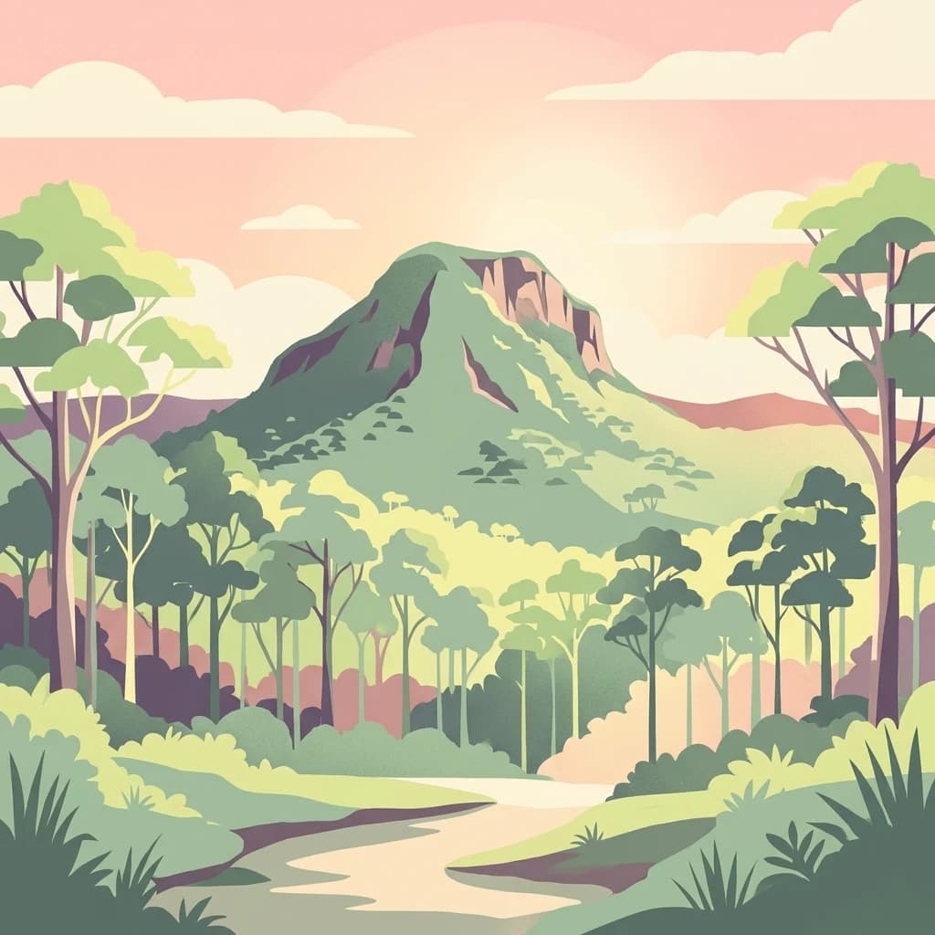
A volcanic plug summit rising from Noosa hinterland bushland, home to the historic King of the Mountain race.
Tuchekoi National Park is a protected area in Queensland, Australia, situated in the Noosa hinterland west and south-west of the town of Pomona. Established in 2009, the park covers approximately 390 hectares of bushland surrounding Mount Cooroora, a prominent geological feature that rises 439 meters above the surrounding landscape. The mountain is an intrusive volcanic plug, formed by ancient volcanic activity that left a坚硬的岩浆柱 core as the surrounding softer rock eroded away. The park provides recreational opportunities through a network of walking tracks that ascend the mountain and meander around its eastern and northern slopes, offering visitors views of the broader Sunshine Coast hinterland from elevated vantage points. The area holds cultural significance for the local community, particularly through the annual King of the Mountain race that for decades brought runners from Pomona to the summit and back.
Protected area location and regional positioning within Queensland
Interactive boundary geometry and recorded spatial measurements
Mountain relief summary and recorded natural features
Peaks
436 m
Streams
Subtropical climate zones, mountain relief, and partial forest cover
Mountains · Forest · Volcano
Trace the regional context and diverse protected landscapes surrounding Tuchekoi National Park

East

Explore its unique ecosystems and protected landscape boundaries.
Tewantin National Park is a key protected area in Queensland, recognized for its distinct landscape blending coastal rainforest, vibrant Wallum Heath, and the ancient volcanic dome of Mount Tinbeerwah. This national park provides essential conservation for endangered species, particularly amphibians and the swamp stringybark tree, serving as an important natural enclave within the Sunshine Coast region. Its mapped geography offers insight into the ecological significance of this protected landscape, contributing a vital piece to Australia's atlas of natural heritage.
North
Explore Queensland's National Park terrain and boundaries.
Mount Pinbarren National Park serves as a significant protected area within Queensland, Australia. This resource provides detailed geographic context, emphasizing the park's mapped boundaries and its role within the broader natural landscape of northeastern Australia. Users can engage with the park's terrain and understand its protected status, contributing to a structured understanding of regional geography and conservation landscapes.
East
Mapping subtropical rainforests, Everglades, and coastal ecosystems
Noosa Biosphere Reserve encompasses an intricate network of wetlands, mountain ranges, and coastal corridors in Queensland. This dataset offers a structured look at the reserve's topography, illustrating the convergence of tropical and temperate environments. Gain insights into the mapped boundaries and spatial distribution of the protected habitats that define this unique Australian coastal region.

North
Understand its regional geography and protected terrain.
Great Sandy National Park, in Fraser Coast Region, Australia. Landscapes: beaches, cliffs, and dunes.

East
Mapped boundaries and natural terrain of Noosa National Park.
Gain insight into Noosa National Park, a designated national park in Queensland. This detailed view focuses on its protected landscape identity, mapped geographic spread, and role within the regional atlas. Understand the terrain and park boundaries to deepen your exploration of Australia's protected natural areas.

Southwest
Explore its rugged terrain and subtropical rainforests within regional geography.
Conondale National Park offers a deep dive into protected landscape geography, showcasing one of Queensland's most significant subtropical rainforests and a vital refuge for numerous threatened species. Its rugged mountain terrain, deep gorges, and scenic creeks form a pronounced catchment divide, contributing essential regional context. This national park is an Important Bird Area and a stronghold for threatened amphibians and the Richmond birdwing butterfly, highlighting its ecological significance.
Southeast
Discover mapped boundaries and regional geography within Queensland.
Ferntree Creek National Park, identified as a national park within Queensland, Australia, offers a specific point of reference for protected landscape exploration. This detail page provides geographic context, mapping its protected area boundaries and situating it within the regional atlas. Understand the landscape and its place in Queensland's natural geography through structured data and map-based discovery.

South
Explore mapped boundaries and regional natural terrain.
Mapleton Falls National Park is a protected natural area within Queensland, Australia, designated as a national park. This entry provides a focused atlas-style exploration of its geographic features, mapped protected boundaries, and its significance as part of Queensland's broader natural landscape. Discover the park's specific terrain and its place within the regional geography for detailed landscape context.
Deepen your understanding of Tuchekoi National Park by investigating its specific geographic characteristics and its status as a protected landscape. This entry provides foundational information for further atlas-based research into Queensland's protected areas and their regional distribution, offering clear context for subsequent exploration and comparative geographic analysis.