Mori Atlas logo
Park earthquake history

Review documented earthquake occurrences associated with the regional geography and landscape

Historical Catalogue of Recorded Seismic Events Near Wadbilliga National Park

Explore the structured catalogue of recorded seismic activity associated by location with the rugged wilderness of Wadbilliga National Park. This resource provides technical details for historical events, including magnitude, depth, and epicentre distance relative to the park boundaries. Users can examine documented seismic data as a contribution to regional geographic understanding, focusing on transparency and historical context within this New South Wales protected area.

Related tags

Wilderness AreaNational ParkNew South WalesRugged GorgesBirdwatching

Remote wilderness area with rugged gorges and near-pristine ecosystems in southeastern New South Wales

Wadbilliga National Park

Wadbilliga National Park is a vast wilderness area spanning approximately 985 square kilometres in the high country of southeastern New South Wales, Australia. The park straddles the Monaro and South Coast regions, occupying a remote and rugged landscape characterized by steep gorges, undulating plateaus, and sheltered gullies. Established on 30 March 1979 and classified as an IUCN Category Ib wilderness area, Wadbilliga represents one of the more pristine and least disturbed protected landscapes in New South Wales. The park lies roughly 425 kilometres southwest of Sydney via the small town of Cobargo, and approximately 150 kilometres southeast of Canberra, making it accessible from both major cities while remaining fundamentally remote in character. The terrain rises from around 15 metres elevation in the lower valleys to peaks exceeding 1,300 metres, creating diverse ecological zones that support a remarkable range of habitats from rainforest gullies to alpine eucalyptus forests.

Location
Australia
Park type
National park
Established
1979
Area
985.3 km²
Wadbilliga National Park Protected Area

Explore Wadbilliga National Park records by distance

Examine past earthquake observations near Wadbilliga National Park

Explore historical earthquakes near Wadbilliga National Park, a 985.3 km² mixed-scope mountain park in Australia with major waters; each record retains epicentre, time, magnitude, depth, locality, source, and park distance. The search does not claim boundary occurrence or turn mountains, valleys, cliffs, forest, grassland, wetlands, rivers, and waterfalls into evidence of seismic cause, danger, or forecasts.

Sort by
Magnitude
Location

This page describes catalogued earthquakes associated with the park by epicentre location and distance. It does not establish causation, assess current danger, or predict future earthquakes.

No earthquake records match the current filters

Park atlas

Continue after Wadbilliga National Park earthquake observations

Find more protected destinations beyond Wadbilliga National Park

After the Wadbilliga National Park earthquake catalogue, MoriAtlas presents separate park destinations for wider geographic discovery. Inclusion does not indicate common rugged gorges, wilderness character, New South Wales status, geographic closeness, seismic history, hazard, or earthquake content; each protected place supplies its own landscape and designation evidence.
National parkNew South Wales
Park boundaries overlap#1 closest

North

Deua National Park: New South Wales National Park Exploration and Map Context

Discover protected landscape boundaries and regional geography.

Deua National Park offers a focused lens into Australia's protected areas, specifically within the state of New South Wales. This page provides detailed geographic context, enabling users to trace the park's boundaries and understand its position within the regional atlas. Explore the mapped terrain and the protected landscape identity that defines Deua National Park as a key component of conservation efforts in the area, ideal for a structured understanding of protected natural spaces.

Area
1,220 km²
Established
1979
IUCN
Ib
Relief
Mountain
National parkNew South Wales
Park boundaries overlap#2 closest

South

South East Forests National Park: New South Wales National Park Atlas Entry

Mapped landscape and protected area geography.

This canonical MoriAtlas entry for South East Forests National Park provides essential geographic context and details about its status as a national park. Understand the mapped boundaries of this protected landscape within New South Wales, supporting discovery through its regional setting and natural terrain. The focus remains on atlas-style exploration of its geographic identity and conservation significance, devoid of visitor logistics or travel advice.

Area
1,151.77 km²
Established
1997
IUCN
II
Relief
Highland
National parkNew South Wales
0 km away#3 closest

Northeast

Kooraban National Park: Protected Area Map and Landscape Geography in New South Wales

Explore critical marsupial habitat and transitional terrain.

Kooraban National Park in New South Wales is a protected national park recognized for its role in conserving vulnerable marsupial species and its distinctive transitional landscape. Spanning over 11,500 hectares, the park connects inland tableland environments with coastal ecosystems, defined by the Narira Creek valley and Tuross River system. Its geography supports four distinct vegetation communities, making it a vital area for endangered animal habitats and broader conservation efforts within southeastern Australia. This park provides essential context for understanding regional geography and protected-area networks.

Area
116.26 km²
Established
2001
IUCN
II
Relief
Mixed relief
Nature reserveNew South Wales
About 2.6 km away#4 closest

East

Brogo Reserve Nature Reserve: Atlas Overview of Protected Landscapes in the Bega Valley

Geographic mapping of ridges, gullies, and riparian forest corridors

Brogo Reserve protects a 120-hectare mosaic of granite-based forest communities near the Bega Valley. The site includes dry rainforest, wet shrub forest, and riparian woodland, offering a concentrated look at regional biodiversity and habitat structure within a distinct geographic corridor of New South Wales.

Area
1.2 km²
Established
1995
Relief
Upland
Climate
Temperate
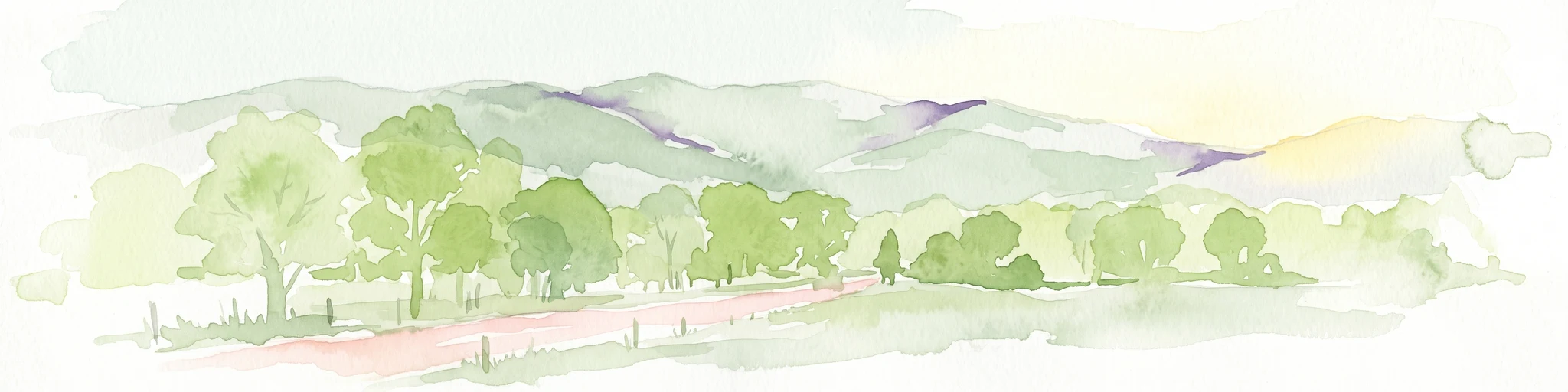
Watercolor illustration showing a landscape with green trees, rolling hills, and a path
National parkNew South Wales
6.2 km away#5 closest

East

Biamanga National Park: Protected National Park with Volcanic Landscape & Regional Geography

Discover mapped terrain and natural park boundaries.

Biamanga National Park is a significant protected area in New South Wales, Australia, notable for its volcanic mountain landscape dominated by Mumbulla Mountain. This national park provides valuable context for understanding regional geography, offering insights into its unique terrain, granite formations, and creek systems. Explore its protected boundaries and the ecological significance of this distinct natural landscape.

Area
137.49 km²
Established
1994
IUCN
II
Relief
Mountain
National parkNew South Wales
14 km away#6 closest

Northeast

Gulaga National Park: Mapped Protected Area and Geographic Context in New South Wales

Explore New South Wales's significant national park boundaries.

Gulaga National Park stands as a key protected area within the diverse geography of New South Wales, Australia. This page offers focused insights into the park's mapped landscape, its protected-area designation as a national park, and its specific regional context. Utilize this information for detailed atlas-based exploration of Australia's natural heritage.

Area
46.73 km²
Established
2001
IUCN
II
Relief
Mountain
National parkNew South Wales
19 km away#7 closest

Southeast

Mimosa Rocks National Park: Coastal Protected Area Atlas and Geographic Discovery

New South Wales National Park with Mapped Coastal Terrain

Mimosa Rocks National Park offers a compelling glimpse into Australia's protected coastal geography. This national park showcases a dynamic landscape where rocky outcrops and sweeping beaches define the Sapphire Coastline within New South Wales. Engage with its mapped boundaries and understand its role as a vital part of the regional protected area network, perfect for detailed atlas exploration and appreciating natural landscape context.

Area
57 km²
Established
1973
IUCN
II
Relief
Lowland
National parkNew South Wales
About 20 km away#8 closest

East

Wallaga Lake National Park: National Park Geography and Mapped Boundaries

Discover its protected landscape within New South Wales.

Wallaga Lake National Park is cataloged as a national park within New South Wales, offering a distinct focus for atlas-based geographic discovery. Users can explore its specific location, mapped protected area, and the surrounding natural landscape context. This entry provides a foundational understanding of the park's geographic identity and its significance as part of Australia's protected lands.

Area
12.37 km²
Established
1972
IUCN
II
Climate
Temperate
MoriAtlas Explorer

Continue exploring the geographic richness of Wadbilliga National Park and New South Wales

Delve deeper into the mapped natural terrain and protected landscape features of Wadbilliga National Park, a significant national park in Australia's New South Wales region. Understanding its geographic setting reveals the complexity of its ecosystems and the value of its preserved wildlands for atlas exploration. Continue discovering the unique environmental context that defines this expansive protected area and its place within the broader regional geography.