
Mori Atlas logo
Park earthquake history

Reviewing documented seismic events and epicentre data within the vicinity of the park landscapes.

Historical Earthquake Records and Seismic Activity Catalogue for Wicklow Mountains National Park

This collection provides a comprehensive view of recorded earthquake activity occurring in proximity to Wicklow Mountains National Park. Users can examine historical seismic events, including recorded magnitudes, event dates, and calculated distances from the park boundaries, sourced from geophysical data sets. The records serve as a research reference for understanding the seismic history of the Wicklow region without assessing ongoing hazards or predicting future activity.

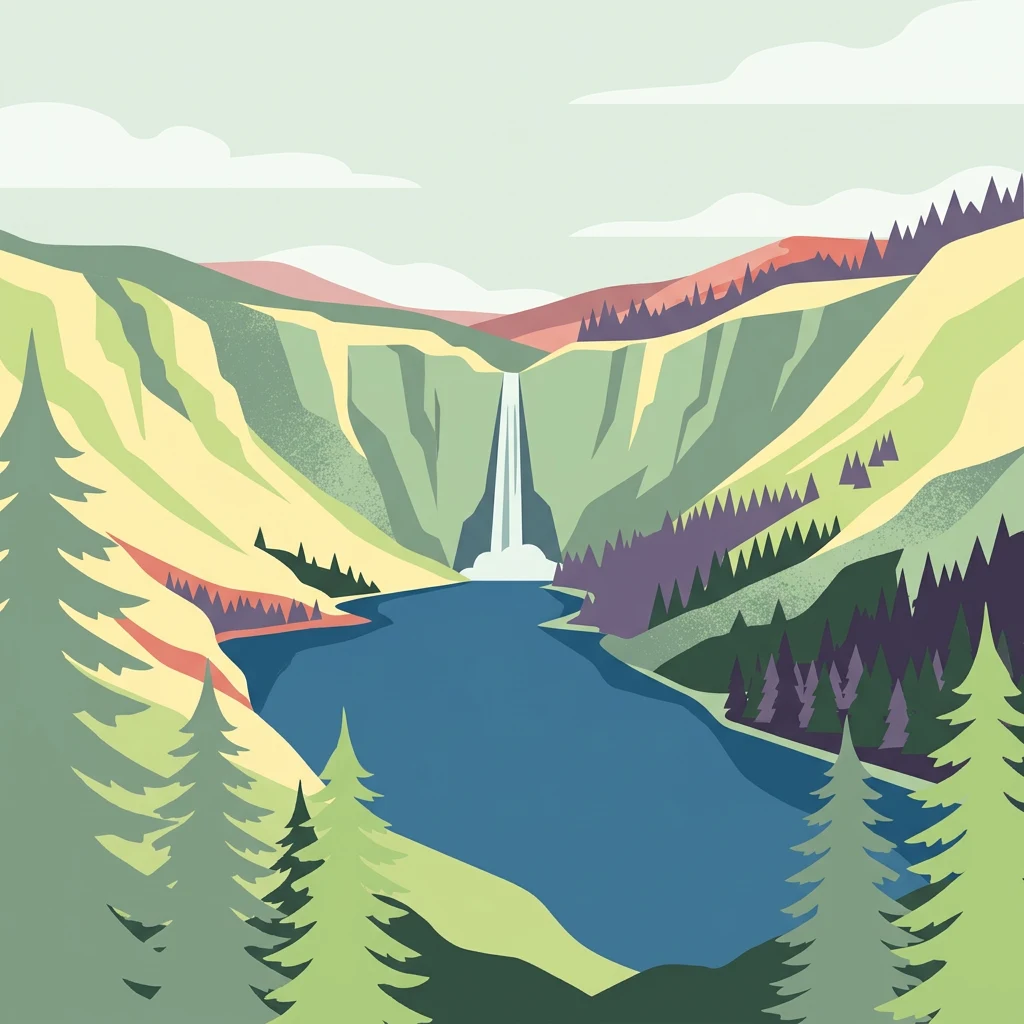
Stylized illustration of a waterfall in a valley between green mountains, with a blue lake and evergreen trees in the foreground

Ireland's ancient monastic heartland among blanket bogs and mountain peaks

Wicklow Mountains National Park

Wicklow Mountains National Park is a 205-square-kilometre protected area in eastern Ireland, situated in the Wicklow Mountains a short distance south of Dublin. Established in 1991, it is one of eight national parks in the Republic of Ireland and the second-largest in the country. The park encompasses a dramatic landscape of rugged peaks, deep glacial valleys, expansive blanket bogs, and ancient woodlands that reflect millions of years of geological history. Its location so close to Ireland's capital city makes it a uniquely accessible wilderness, serving as both a recreational haven for Dublin residents and a significant conservation area protecting some of Ireland's most distinctive upland ecosystems.

Location
Ireland
Park type
National park
Established
1991
Area
205 km²
Wicklow Mountains National Park Atlas

Explore Wicklow Mountains National Park event distances

Review documented earthquakes near Wicklow Mountains National Park

Earthquakes near Wicklow Mountains National Park are related to the park by mapped epicentres and measured distance, not treated as events within it. Review dates, magnitudes, depths, location descriptions, distance figures, and sources without presenting mountain or park qualities as seismic causes, declaring present hazard, or projecting future activity.

Sort by
Magnitude
Location

This page describes catalogued earthquakes associated with the park by epicentre location and distance. It does not establish causation, assess current danger, or predict future earthquakes.

No earthquake records match the current filters

Park atlas

Continue beyond Wicklow Mountains National Park earthquake data

Explore other protected areas after Wicklow Mountains National Park

Following the Wicklow Mountains National Park earthquake data, explore a stand-alone collection of parks and protected areas. These choices do not denote common mountain landscapes, national park status, biodiversity, geology, seismic patterns, proximity, hazard levels, risk, or matching source coverage.
An illustration of a green meadow in the foreground with forest, steep cliffs, and a narrow waterfall in the background under a pale sky with soft pink clouds.
National parkCounty Meath
About 52 km away#1 closest

North

Boyne Valley National Park: Protected River Floodplains and Neolithic Landscapes

Geographic atlas overview for County Meath, Ireland

Boyne Valley National Park encompasses a significant riparian corridor along the River Boyne, serving as a sanctuary for diverse freshwater species and a guardian of major megalithic monuments. This protected area offers insight into the confluence of Irish ecological preservation and prehistoric archaeological heritage within a managed, low-lying floodplain setting.

Area
2.23 km²
Established
2023
IUCN
II
Relief
Lowland
Watercolor painting of soft, rolling green hills and dunes with purple mountain peaks in the distance against a white background.
Nature reserveCounty Down
About 114 km away#2 closest

North

Murlough Nature Reserve: Coastal Dune and Heathland Atlas of County Down

A historic protected peninsula along the shores of Dundrum Bay.

Located in County Down, Murlough Nature Reserve stands as the largest dune heathland in Ireland. This protected landscape encompasses a complex system of sand dunes and open heath, set against the backdrop of the Mourne Mountains. The reserve provides a unique vantage point for understanding coastal geomorphology, invertebrate-rich habitats, and the long-term interaction between shoreline dunes and upland mountainous geography.

Area
2.82 km²
Established
1967
Relief
Lowland
Climate
Temperate
Nature reserveCounty Fermanagh
About 125 km away#3 closest

Northwest

Crom Estate Nature Reserve and Upper Lough Erne Geographic Landscape Overview

Riparian forest and island geography in County Fermanagh

Deeply connected to the shores of Upper Lough Erne, Crom Estate is a sprawling nature reserve defined by its ancient riparian woodlands and intricate maze of bays and islands. The terrain preserves a distinct mix of old-growth forest, open grassland, and historic castle ruins, providing a valuable case study in the regional geography of County Fermanagh and the conservation of water-influenced ecosystems.

Area
5.5 km²
Established
1987
Relief
Lowland
Climate
Temperate
Watercolor illustration of rolling mountains and green valleys with distant peaks
National parkWales
130 km away#4 closest

East

Snowdonia National Park: Protected Landscape and Map Exploration in North Wales

Mountain terrain, glacial lakes, and regional geography.

Snowdonia National Park offers a profound exploration of mountainous protected landscapes in North Wales. This page details the park's mapped boundaries, revealing a terrain shaped by glaciation, featuring dramatic peaks like Snowdon, steep valleys, and pristine glacial lakes. Understand its geographic identity within the United Kingdom and how its protected status contributes to the regional landscape context, providing a unique focus for atlas-based discovery.

Area
2,142 km²
Established
1951
IUCN
V
Relief
Mountain
National parkPembrokeshire
135 km away#5 closest

Southeast

Pembrokeshire Coast National Park: Mapped Coastal Boundaries and Protected Landscape Atlas

Explore unique seaside terrain and regional geography.

Delve into the Pembrokeshire Coast National Park, a premier protected landscape recognized for its extraordinary coastal formations and diverse natural terrain. This atlas entry details the park's distinct mapped boundaries, from its iconic limestone cliffs and sea stacks to its sheltered estuaries and inland Preseli Hills. Understand how this significant national park contributes to the protected area map of Pembrokeshire and offers unparalleled opportunities for geographic discovery along the Welsh coast.

Area
629 km²
Established
1952
IUCN
V
Relief
Mixed relief
Nature reserveNorthern Ireland
About 139 km away#6 closest

North

Oxford Island National Nature Reserve: Protected Wetland Landscapes of Northern Ireland

Lakeshore habitats and woodland geography at Lough Neagh

Oxford Island is a prominent nature reserve where terrestrial woodland meets the expansive waters of Lough Neagh. The site showcases a transition of reed beds and meadows that serve as vital ecological assets within the regional geography of Northern Ireland, offering a dense, accessible look at lowland wetland environments.

Area
1.14 km²
Relief
Lowland
Climate
Temperate
Access
Easy access
National parkIreland
157 km away#7 closest

West

Burren National Park: A Distinctive Karst Protected Landscape in County Clare

Explore its unique limestone pavement and geological formations.

Burren National Park offers a profound exploration of karst geology, featuring Ireland's most extensive and visually striking limestone pavement. The park's terrain displays a unique mosaic of exposed rock, swallow holes, and surprising pockets of vegetation, including rare Arctic-alpine and Mediterranean flora. As a protected national park, it preserves this scientifically significant landscape and offers a window into the dynamic interplay of geological forces and ecological adaptation within Western Ireland's regional geography.

Area
15 km²
Established
1991
IUCN
II
Relief
Mountain
Protected landscapeCounty Fermanagh
About 164 km away#8 closest

Northwest

Castle Archdale Protected Landscape in County Fermanagh: Geography and Map Overview

Lakeside woodland and historic terrain on Lower Lough Erne

Located on the shores of Lower Lough Erne, Castle Archdale represents a unique protected landscape in County Fermanagh. The area features a complex mosaic of sheltered inlets, mature woodland, and open parkland that characterises the Fermanagh lakelands. Beyond its physical terrain, the site is defined by its historical significance, from seventeenth century estate remnants to its role as a pivotal wartime flying boat base, providing a rich context for geographic and environmental exploration.

Relief
Lowland
Climate
Temperate
Access
Easy access
Scope
Terrestrial
MoriAtlas Explorer

Continue Mapping Wicklow Mountains National Park and its Regional Geography

Deepen your understanding of Wicklow Mountains National Park by exploring its precise geographic setting and mapped boundaries. This dedicated page allows for focused study of the protected landscape, enabling comparisons with surrounding regions and contributing to a comprehensive atlas of natural areas. Continue your discovery of its role within County Wicklow and Ireland's broader geographical context.