

Peaks
Park geography
A comprehensive analysis of terrain elevation, coastal features, and landscape distribution
Woliński Park Narodowy: Detailed Geographic Profile and Mapped Protected Area Boundaries
Examine the geographic foundation of Woliński Park Narodowy, spanning 109.37 km² within the Zachodniopomorskie Voivodeship of Poland. This profile details the park's physical composition, including its coastal cliffs, diverse wetland habitats, forest cover, and elevation ranges from sea level to 116 meters.
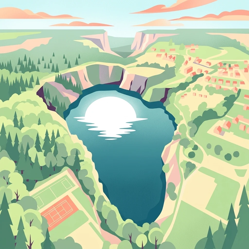
Poland's first marine national park on the island of Wolin, known for its coastal cliffs, moraine hills, and rich birdlife.
Woliński National Park
Woliński National Park is a protected area on the Polish island of Wolin, situated in the West Pomeranian Voivodeship along the Baltic coast. It lies between the Pomeranian Bay of the Baltic Sea and the Szczecin Lagoon, creating a distinctive landscape where moraine hills, active sea cliffs, glacial lakes, and a delta estuary converge. The park protects a broad mix of natural environments, including beech, pine, and oak forests covering most of the inland area, salt-tolerant coastal vegetation along the cliffs and beaches, and the dynamic Swina River delta with its shifting islands and channels. These varied habitats support more than 230 bird species and a wide range of rare plants, insects, and marine mammals. Woliński National Park holds special significance as the first national park in Poland to incorporate marine waters, a designation achieved in 1996 when Baltic Sea waters, lagoon waters, and a coastal archipelago were added to the original 1960 terrestrial reserve. Today it is recognized as both a national park and a key site within European bird protection networks, drawing large numbers of visitors interested in its scenery, biodiversity, and cultural sites.
- Location
- Poland
- Park type
- National park
- Established
- 1960
- Area
- 109.4 km²
- Highest point
- 116 m
Location overview
Zachodniopomorskie Voivodeship country and regional framework
Woliński Park Narodowy Geographic Location and Regional Setting in Poland
Woliński Park Narodowy is situated within Poland and the Zachodniopomorskie Voivodeship regional administrative network. Official protected area records confirm coastal, island, and marine geographic status.
- Countries
- Poland
- Regions
- Zachodniopomorskie Voivodeship
- Primary location
- Zachodniopomorskie Voivodeship
- Geographic setting
- Coastal · Island · Marine
Boundary and coordinates
Interactive boundary geometry and recorded area measurements
Woliński Park Narodowy Boundary Map and Geographic Extent
Spatial context emerges directly from the interactive boundary outline mapped across the protected territory. Accompanying facts detail the recorded area, coordinate limits, and geographic spans derived from spatial data.
- Boundary area
- 107.8 km²
- Boundary perimeter
- 161.1 km
- Northernmost point
- 54.016° N
- Southernmost point
- 53.8318° N
- Easternmost point
- 14.652° E
- Westernmost point
- 14.3232° E
- Geographic centre
- 53.9248° N, 14.4839° E
- North–south span
- 20.5 km
- East–west span
- 21.6 km
Elevation and terrain
Upland topography with recorded peaks and water features
Woliński Park Narodowy Terrain and Elevation Summary
Recorded park elevation spans from zero to one hundred sixteen meters across upland terrain features. Linked feature cards supply names, types, and spatial relationships for identified natural formations.
- Minimum elevation
- 0 m
- Maximum elevation
- 116 m
- Highest point
- 116 m
Selected named natural features
Rivers
Wielka Struga
Rivers
Pęga
Peaks
Leśnogóra
91.3 m
Streams
Zasilanie Jeziora Turkusowego
Peaks
Stawin
72.1 m
Environmental setting
Temperate upland terrain, major water presence, and diverse forest cover classifications
Environmental Classifications and Physical Setting of Woliński Park Narodowy
Recorded landscape features, habitat types, and relief categories combine to outline the physical setting of Woliński Park Narodowy. Stored classifications connect recorded environmental traits to relevant atlas destinations across the protected area.
- Relief
- Upland
- Climate
- Temperate
- Water
- Major water bodies
- Forest cover
- Mostly forested
- Seasonality
- Year-round
Landscape features
Hills · Cliffs · Forest · Wetland · Lakes · Rivers · Coast · Beach · Islands
Habitat types
Temperate broadleaf forest · Temperate coniferous forest · Wetland · Lacustrine habitat · Coastal habitat · Marine habitat
Park atlas
Compare adjacent coastal landscapes, moraine terrain, and regional park networks
Explore Other Parks Near Woliński Park Narodowy and Surrounding Protected Areas
Browsing other protected areas near Woliński Park Narodowy reveals broader ecological patterns across the Baltic coastline and regional river basins. Comparing adjacent natural habitats helps contextualize coastal cliffs, moraine forests, and wetland reserves within wider geographic formations.

Nature reservePoland
Park boundaries overlap#1 closest
Northeast

Ostoja na Zatoce Pomorskiej: Mapping the Pomeranian Bay Marine Nature Reserve
Extensive marine protected landscape in the Baltic Sea
Ostoja na Zatoce Pomorskiej encompasses over 243,000 hectares of the southern Baltic Sea, serving as a primary marine nature reserve for the Polish coast. The sanctuary is defined by complex underwater features such as shallow sandy banks, gravel plains, and the prominent Odrzańska Ławica, which collectively support essential migratory waterbird populations and protected aquatic species within the European ecological network.
- Area
- 2,430.59 km²
- Established
- 2009
- Relief
- Lowland
- Scope
- Marine

Protected areaZachodniopomorskie
Park boundaries overlap#2 closest
South
Ujście Odry i Zalew Szczeciński: Protected Area Geography and Estuarine Landscape Mapping
Coastal lagoons, riverine deltas, and island habitats in Zachodniopomorskie.
This extensive protected area offers a comprehensive view of the Oder estuary as it meets the Baltic Sea. The landscape comprises broad lagoons, branching river channels, and coastal islands that provide crucial habitat for migratory waterbirds and sustain a rare brackish water ecosystem. Use this geographic entry to analyze the boundaries, terrain, and interconnected waterways of this major Polish nature site.
- Area
- 526.12 km²
- Established
- 2008
- Relief
- Lowland
- Scope
- Mixed
National parkWest Pomeranian Voivodeship
Park boundaries overlap#3 closest
Southwest
Wolin National Park: Coastal Protected Landscape and Glacial Terrain in West Pomeranian Voivodeship
Explore Poland's first marine national park and its dynamic geography.
Wolin National Park offers a profound look into Poland's protected coastal geography. This national park in the West Pomeranian Voivodeship is distinguished by its high sea cliffs, inclusion of Baltic Sea and Szczecin Lagoon waters as Poland's first marine protected area, and a landscape sculpted by glacial moraines. Discover the park's complex delta systems, ancient forests, and the mapped terrain that supports significant bird migration, providing a rich focus for atlas exploration.
- Area
- 109.37 km²
- Established
- 1960
- IUCN
- II
- Visitors
- 1.5M annual
Protected areaWest Pomeranian Voivodeship
9 km away#4 closest
East
Wybrzeże Trzebiatowskie Protected Area: Coastal Wetlands and Baltic Shoreline Map
A diverse wetland corridor in the West Pomeranian Voivodeship.
Wybrzeże Trzebiatowskie represents a significant stretch of the Baltic coastline, characterized by a narrow and elongated geographic profile. The protected landscape highlights a complex interplay of lagoon lakes, river floodplains, and classic dune systems, providing critical habitat within the broader West Pomeranian regional geography.
- Area
- 317.576 km²
- Established
- 2007
- Relief
- Lowland
- Scope
- Mixed
Protected areaZachodniopomorskie
10 km away#5 closest
South
Łąki Skoszewskie Protected Area: Geography, Mapped Terrain, and Wetland Landscapes
Coastal marshland and bird sanctuary in Zachodniopomorskie
Located along the Szczecin Lagoon, Łąki Skoszewskie consists of extensive wet meadows, alder carrs, and Scots pine forests. This protected area provides a detailed look at the hydrological networks and coastal transition zones that define the unique natural landscape of northwestern Poland.
- Area
- 90.834 km²
- Established
- 2004
- Relief
- Lowland
- Climate
- Temperate

Protected landscapeWest Pomeranian Voivodeship
11 km away#6 closest
Southeast
Puszcza Goleniowska Protected Landscape: Geographic Profile and Mapped Boundaries
A large-scale lowland forest complex in West Pomeranian Voivodeship.
Puszcza Goleniowska represents a critical protected woodland in Poland, spanning 630 square kilometers of post-glacial plains. This forest complex is characterized by its pine-dominated canopy, widespread bog and marshland habitats, and a series of rivers and lakes that form the backbone of its regional drainage. The area encompasses numerous nature reserves and Natura 2000 sites, offering a comprehensive look at the lowland ecological structure of the West Pomeranian Voivodeship.
- Area
- 630 km²
- Established
- 1349
- Relief
- Lowland
- Climate
- Temperate
Protected areaZachodniopomorskie
About 13 km away#7 closest
South
Park Natury Zalewu Szczecińskiego: Protected Coastal Landscape and Regional Geography Atlas
A pioneer in active Natura 2000 conservation and lagoon habitat preservation
Situated in the West Pomeranian region, Park Natury Zalewu Szczecińskiego covers a mosaic of coastal pastures, reed-bordered lagoons, and pine forests. This protected area stands out for its active management approach, integrating traditional grazing into a modern conservation model that sustains the biological integrity of the Szczecin Lagoon shorelines and adjacent woodland mosaics.
- Area
- 40 km²
- Established
- 2005
- Relief
- Lowland
- Scope
- Mixed

Protected landscapeMecklenburg-Vorpommern
About 21 km away#8 closest
West

Naturpark Insel Usedom: Geography and Protected Landscape Atlas
Coastal cliffs, lagoon systems, and diverse forest terrain in Mecklenburg-Vorpommern
Naturpark Insel Usedom encompasses the German side of Usedom Island, offering a condensed landscape that bridges the Baltic Sea with inland brackish lagoons. This protected area integrates sandy shorelines, steep moraine cliffs, and varied wetland habitats, making it an essential subject for understanding the ecological and geographic character of northeastern Germany.
- Area
- 632 km²
- Established
- 1999
- Relief
- Lowland
- Climate
- Temperate
MoriAtlas Explorer
Continue Exploring the Geographic Landscape of Woliński Park Narodowy
Delve deeper into the mapped boundaries and natural terrain of Woliński Park Narodowy. This MoriAtlas resource provides structured insights into the coastal processes, glacial topography, and protected bird habitats that define this unique national park.
Browse next
Global natural geography
Explore related park routes
Explore MoriAtlas Global ParksBrowse All MoriAtlas ParksGlobal Park Map DiscoveryMoriAtlas: Browse All CountriesBrowse All MoriAtlas ContinentsNational Park Environment AtlasGrand Canyon National Park AtlasYellowstone National Park AtlasYosemite National Park Atlas and GeographySerengeti National Park AtlasGalápagos National Park Protected LandscapeBanff National Park Geography and AtlasKruger National Park Atlas EntryUluṟu-Kata Tjuṯa National Park AtlasExplore Uluru-Kata Tjuta National Park GeographyPlitvice Lakes National Park AtlasFiordland National Park Protected LandscapeGreat Smoky Mountains National Park AtlasAfghanistan National Parks and Protected AreasAlbania National Parks and Protected AreasAlgeria National Parks and Protected AreasAmerican Samoa National Parks and Protected AreasAndorra National Parks and Protected AreasAngola National Parks and Protected AreasAntarctica National Parks and Protected AreasAntigua and Barbuda Park List