Northwest
Harz National Park
Explore geographic boundaries and regional terrain.
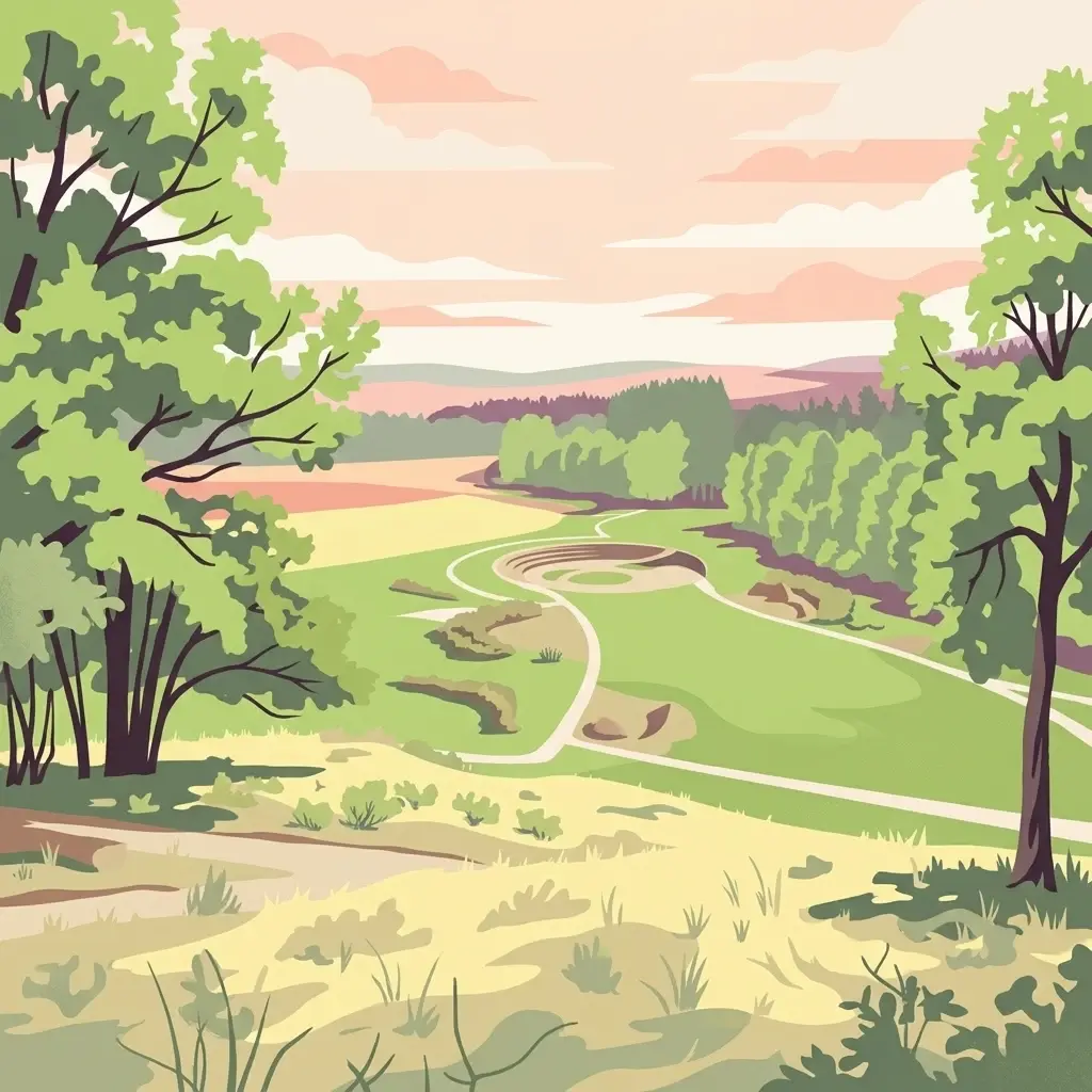
Harz National Park, in Lower Saxony, Germany. Landscapes: mountains, forests, and woodlands.
- Area
- 247 km²
- Established
- 2006
- IUCN
- II
- Visitors
- 4M annual
Mapping regional protected areas and diverse mountain environments surrounding Wurmberg
Explore the geographic collection of protected areas and natural reserves surrounding Wurmberg in the Harz mountains of Lower Saxony. This overview helps identify the spatial distribution of nearby conservation zones, allowing for a better understanding of the local landscape context and the broader mosaic of protected terrain throughout this significant German mountain region.

A two-part mountain reserve on the Harz highlands protecting granite cliffs, bogs, and recovering Harz forests.
Wurmberg Nature Reserve is a protected landscape on the slopes of the Wurmberg, the second-highest peak in the Harz mountains, located in the town area of Braunlage in the district of Goslar, Lower Saxony, Germany. The reserve occupies 183 hectares across a northern and a southern section that together extend along the western and southwestern flanks of the mountain, with the northern part adjoining the larger Harz National Park. The reserve safeguards a distinctive upper-Harz environment that mixes exposed granite cliffs, abandoned quarry land, high-altitude bogs, and forest stands of spruce, birch swamp woodland, and recovering broadleaf cover. Designated on 26 October 2006 under Lower Saxon nature conservation law, it incorporate part of the older Oberharz reserve and continues a long-term project to rewet drained peatlands and gradually convert the spruce-dominated forest toward more natural mixed woodland. Beyond its ecological role, the area is embedded in one of Germany's most visited mountain landscapes, where the Wurmberg cable car, ski-jumping facilities, and established hiking routes meet a protected zone that aims to keep the Harz's natural character intact through active management.

See the ranked park cluster in its geographic setting
Distance-ranked collection of surrounding protected landscapes and mountain reserves

Northwest
Explore geographic boundaries and regional terrain.
Harz National Park, in Lower Saxony, Germany. Landscapes: mountains, forests, and woodlands.

Southeast
Protected forest geography in the northern Harz mountains.
Vogelherd is a significant nature reserve located in the Harz mountains of Thuringia. It serves as a vital reference area for upper montane forest ecology, showcasing how acidic bedrock and high elevation shape the transition between beech and spruce woodland populations.

Northwest
Regional geography and protected area boundaries in Lower Saxony
Spanning roughly 790 square kilometers, Naturpark Harz (Niedersachsen) serves as a vital protected area along the western Harz mountains. The park landscape showcases a transition from high-elevation summits like the Wurmberg down to lowland foothills, integrated with a historic system of reservoirs and river valleys that define the regional geography.

Southwest
A detailed protected-area profile of the dolomite ridge in Lower Saxony.
Steinberg bei Scharzfeld is a protected nature reserve in the southern Harz region, defined by its rare dolomite geology and rugged cliff habitats. This site features exposed rock outcrops, drought-prone calcareous grasslands, and the natural Steinkirche cave monument. It serves as a vital anchor for understanding the ecological diversity of the local karst landscape and its distinct geological character compared to the surrounding mountain environments.
South
Exploring the beech forest landscapes and stream-carved terrain of northern Thuringia.
Sülzensee, Mackenröder Wald is a protected nature reserve in northern Thuringia known for its expansive beech forests and diverse geological foundation. Spanning over 280 hectares, the area features undulating ridges, deep-cut stream valleys, and a unique position atop the Elbe-Weser watershed. This geography-focused overview details the reserve's status as a corridor for wildlife and its significant role in regional habitat conservation.

Southeast
A rare mapped landscape of karst sinkholes and dry valleys.
Rüdigsdorfer Schweiz stands as a critical protected area in Thuringia, known for its intact gypsum karst terrain. This landscape of gentle hills, earth collapses, and soluble rock formations serves as a vital ecological anchor in the Harz foothills. Explore the geography of this nature reserve to understand its layered protection and the distinctive geological history carved into its irregular surface.

Southeast
A study of Zechstein geology and forested ridge geography in Thuringia
The Alter Stolberg serves as a primary example of karst topography within the South Harz Zechstein Belt, offering a compact and heavily wooded plateau landscape. This protected area includes distinct geological features like the Heimkehle gypsum cave and historical medieval ruins, illustrating the integration of natural processes and cultural history in central Germany. Explore the geographic boundaries and terrain characteristics that define this essential protected area.

South
Mapping the forested ridges and Muschelkalk geology of the Thuringian region.
Investigate the Bleicheröder Berge as a vital protected area in Thuringia. This resource outlines the range's formation as a series of isolated hill remnants, its fossil-bearing limestone cliffs, and the botanical diversity characterizing its beech forests and rare orchid populations.

Southwest
Conservation corridor within the Landkreis Eichsfeld regional geography.
Located in the Eichsfeld district of Thuringia, the Grenzstreifen zwischen Teistungen und Ecklingerode nature reserve functions as a vital segment of the trans-European Green Belt. This protected area showcases an elongated, structural diversity of beech forest ecosystems and meadowlands shaped by natural succession. Review the mapped boundaries and topographical characteristics of this significant corridor that bridges modern forestry and historical conservation.

Southwest
Limestone escarpments and ravine landscapes of the Eichsfeld
Bodenstein is a protected nature reserve featuring a distinctive limestone escarpment along the Ohmgebirgsplateau. The terrain encompasses a series of hilltops and ravines shaped by geological shifts, serving as a key reference site for the forest ecosystems and spring-fed hydrological networks found across the Thuringia region.

South
Mapped shell limestone escarpment and Iron Age hillfort site.
Wöbelsburg offers a focused look at the rugged Muschelkalk terrain characteristic of the northwestern Hainleite. As a protected nature reserve, the site features a prominent mountain spur that drops steeply toward the Wipper lowland, providing a clear example of geological undercutting and plateau formation in central Germany.

South
A study of forest escarpments, erosional valleys, and Natura 2000 ecological connectivity
Westliche Hainleite is a protected nature reserve in Thuringia defined by its steep ridgeline escarpments and transitionary geography between the Hainleite range and the Dün hills. This area preserves a mosaic of woodland, cliff, and slope habitats, maintaining essential ecological continuity across the northern German hill country. Its topography is characterized by deep erosional gullies and named summits like Der Berg, which create a distinctive vertical profile within the regional landscape.

Northwest
Mapping restored post-industrial landscapes and habitat mosaics.
This protected area in Salzgitter showcases the natural recovery of former ironstone mining lands. Users can examine the spatial arrangement of the 15-hectare mining lake, extensive reedbeds, and dry calcareous grassland slopes. The site remains a vital example of landscape conservation, illustrating how engineered topography provides new niches for amphibians and salt-tolerant plant communities across the Lichtenberge ridge.

South
Mapped beech-dominated plenterwald and limestone escarpment terrain
Located in northern Thuringia, Keulaer Wald is a designated nature reserve characterized by its continuous beech canopy on shell limestone bedrock. This site serves as a vital protected area within the regional forest belt, offering high-elevation viewpoints over the surrounding Eichsfeld Basin and the distant Harz mountain range.

West
A floodplain lake mosaic within the Lower Saxony river valley landscape
Wasservogelreservat Northeimer Seenplatte encompasses roughly 80 hectares of protected wetland in Lower Saxony. This nature reserve features a distinct series of gravel-pit lakes framed by agricultural grasslands, serving as a vital sanctuary for migratory and breeding waterbirds. The terrain represents a focused ecological complex positioned within the Leine floodplain, defined by its historical industrial origins and current conservation status.

Northwest
A restored former quarry environment with rich fossil deposits
Steinbruch Baddeckenstedt protects a six-hectare area of limestone cliffs and calcareous rubble slopes within the Wolfenbuettel district. This former quarry offers a specialized habitat for rare plants and wildlife, providing a vital example of post-industrial land conservation and geological exposure in central Germany.

West
Examining the ecological terrain within the Weser-Leine hill country of Lower Saxony
Wahrberg is a protected nature reserve defined by its limestone bedrock and rare calcareous dry grassland habitats. This site serves as a vital ecological refuge, showcasing a mosaic of open slopes, shrub transitions, and broadleaf woodland near the Leine valley. Explore the mapped boundaries and natural terrain characteristics that distinguish this important German nature reserve.

Southeast
Explore ridges, gypsum karst, and wetland migration sites.
Naturpark Kyffhäuser stands as a unique protected landscape in Thuringia, bridging the gap between dramatic gypsum massifs and expansive agricultural lowlands. Its geography includes the notable Hainleite and Windleite ridges, alongside diverse habitats ranging from dry steppe slopes to the internationally recognized Kelbra reservoir. This detailed view examines the topographical and ecological features that define the park within the Unstrut catchment area.

Northwest
Geographic focus on calcareous grassland and ridge topography
Explore the geography of Steinberg bei Wesseln, a nature reserve in the Hildesheim district of Lower Saxony. This protected area features a steep, south-facing Muschelkalk ridge that supports a rich mosaic of semi-dry grassland and scrub. Its unique microclimate makes it a significant site for understanding habitat conservation within the broader landscape of the German hill country.

South
Examining forest ecology and medieval earthworks on a central German ridge
Kühmstedter Berg stands as a protected nature reserve in Thuringia, characterized by its Muschelkalk geology and established beech-rich oak and hornbeam woodland. This site maps a critical intersection of natural forest habitat and historical land use, featuring visible remnants of a Bronze Age tumulus cemetery and the defensive lines of the medieval Mühlhäuser Landgraben.
Geographic measurements, not driving distances
Calculated between the nearest points of both park boundaries.
Estimated from one mapped park location to the nearest boundary of the other park.
Estimated between the mapped locations of both parks.
Investigate the natural landform and conservation profile of Wurmberg Nature Reserve through our structured map data. This MoriAtlas entry provides an authoritative look at the granite geology, bog habitats, and forest recovery zones defining this significant protected area in the Harz mountain region.