

Islands
Park geography
Detailed analysis of regional highland relief, aquatic features, and landscape boundaries.
Structured Geographic Profile and Mapped Terrain of Žemaitija National Park, Lithuania
This geographic profile covers the spatial characteristics of Žemaitija National Park, encompassing 217.54 square kilometers within the Samogitia region of Lithuania. The data details a complex highland terrain defined by extensive lake networks, riverine systems, and forest-covered valleys. Explore the mapped distribution of environmental features, including identified peaks, peninsulas, and natural springs across this temperate landscape.
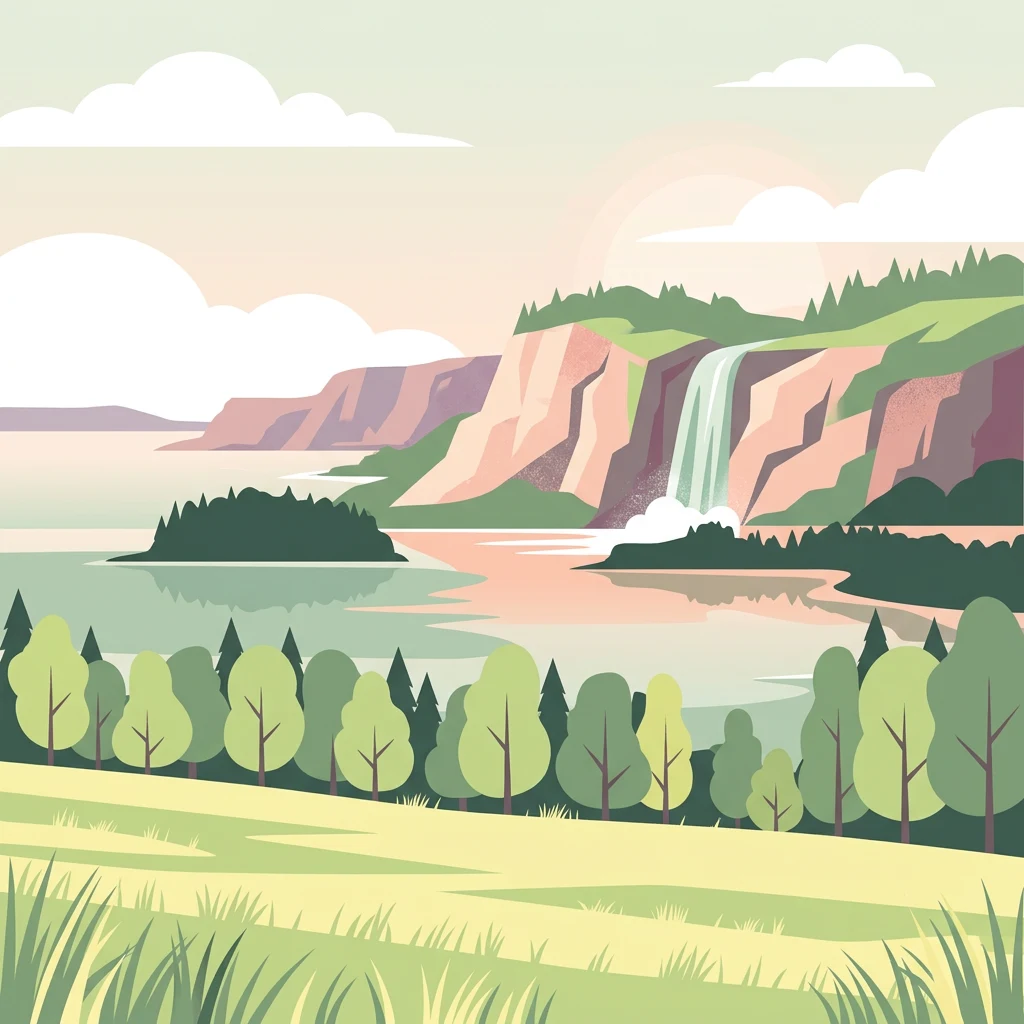
Glacial hills, lake-dotted landscape in northwestern Lithuania's Samogitian heartland
Žemaitija National Park
Žemaitija National Park is a Category II protected area in northwestern Lithuania, established in 1991 on the Samogitian Upland approximately 45 kilometers from the Baltic Sea. The park encompasses 217 square kilometers of hilly terrain sculpted by glacial melt about 12,000 years ago, creating relief reaching 150 to 190 meters in elevation. Lakes cover more than 7 percent of the park's territory, with Lake Plateliai standing as the largest body of water in Samogitia at 12 square kilometers and 47 meters depth. The town of Plateliai, situated on the lake's shoreline, serves as the park's administrative center and a popular base for visitors. Forests cover roughly 45 percent of the park, interspersed with wetlands, river valleys, and esker formations that together create a diverse mosaic of habitats supporting both common and rare species.
- Location
- Lithuania
- Park type
- National park
- Established
- 1991
- Area
- 217.5 km²
Location overview
Regional placement and terrestrial status within Samogitia
Geographic Location of Žemaitija National Park in Lithuania
Žemaitija National Park is situated entirely within the historic Samogitia region of Lithuania. National mapping records confirm the protected landscape as a non-transboundary, terrestrial reserve.
- Countries
- Lithuania
- Regions
- Samogitia
- Primary location
- Lithuania
- Geographic setting
- Inland
Boundary and coordinates
Mapped spatial geometry and derived boundary measurements
Žemaitija National Park Boundary Map and Geographic Extent
The interactive boundary outline provides clear spatial context for the protected territory. Accompanying facts display calculated area metrics, coordinate limits, and geographic spans without implying legal survey precision.
- Boundary area
- 217.6 km²
- Boundary perimeter
- 130.7 km
- Northernmost point
- 56.154° N
- Southernmost point
- 55.9542° N
- Easternmost point
- 22.0315° E
- Westernmost point
- 21.7428° E
- Geographic centre
- 56.0505° N, 21.8881° E
- North–south span
- 22.2 km
- East–west span
- 18 km
Terrain and natural features
Explore recorded highland classifications and internal natural features
Zemaitija National Park Terrain and Named Natural Features Atlas
Zemaitija National Park features a highland terrain classification with numerous recorded natural features situated within its boundaries. Linked feature cards provide names, types, measurements, and spatial relationships for each mapped element.
Selected named natural features
Islands
Gaidsalė
Islands
Mažoji salelė
Natural springs
Pilelio šaltinis
Streams
Uošna
Named stones
Akmuo su Velnio pėda
Environmental setting
Temperate highland climate settings, lake networks, and partial forest cover
Environmental Setting and Habitat Classifications in Žemaitija National Park
Recorded landscape features, habitat types, and relief metrics serve as complementary frameworks for examining the physical geography of Žemaitija National Park. Individual classification categories link directly to corresponding environmental records across the wider protected area atlas.
- Relief
- Highland
- Climate
- Temperate
- Water
- Major water bodies
- Forest cover
- Partial forest
- Seasonality
- Year-round
Landscape features
Hills · Valleys · Lakes · Rivers · Wetland · Forest
Habitat types
Temperate broadleaf forest · Wetland · Riverine habitat · Lacustrine habitat
Park atlas
Browse regional park geography, trace surrounding protected landscapes, and compare unique conservation areas near the Samogitian Upland.
Discover National Parks and Protected Areas Near Žemaitija National Park, Lithuania
Explore national parks and other protected areas geographically situated near Žemaitija National Park, revealing similar glacially sculpted landscapes and diverse conservation zones across Lithuania. Compare these regional park entities to understand broader protected-area geography, trace connected natural features, and identify notable conservation efforts in the Baltic region.
National parkLithuania
50 km away#1 closest
Southwest

Curonian Spit National Park: Atlas of Baltic Sand Dunes and Coastal Protected Areas
Exploring the narrow peninsula landscape of Lithuania
Curonian Spit National Park is a protected coastal terrain featuring massive sand dunes and coniferous forests situated along the Baltic Sea. This detailed map-based overview examines the geomorphology of the spit, the stabilization of the Nagliai reserve, and the regional geography that defines this unique ecological corridor within Lithuania.
- Area
- 264.74 km²
- Established
- 1991
- IUCN
- II
- Visitors
- 400K annual
Nature reserveAkmenė District Municipality
About 51 km away#2 closest
Northeast
Kamanų valstybinis gamtinis rezervatas: Mapped Bog Systems and Protected Forest Landscapes
Geographic reference and protected habitat in Akmenė District Municipality
Deepen your understanding of Kamanų valstybinis gamtinis rezervatas, an IUCN Category Ia protected area in Lithuania. Trace the boundaries of its iconic raised bog, mineral islands, and deep spruce woodlands that define this significant northern regional landscape.
- Area
- 39.35 km²
- Established
- 1979
- IUCN
- Ia
- Relief
- Lowland
Regional parkLithuania
About 90 km away#3 closest
Southwest
Nemunas Delta Regional Park: Mapping the Wetland Mosaic of the Lithuanian Coast
Explore the complex hydrology and floodplain geography of this Ramsar-listed regional park
Nemunas Delta Regional Park protects a unique river delta landscape shaped by seasonal floods and intricate water channels. Covering the lowlands where the Nemunas River reaches the Baltic Sea, the park is a primary site for ornithological research and wetland conservation, home to Rusnė Island and Lake Krokų Lanka. This protected area offers profound insight into coastal delta formation and the ecological importance of lowland floodplains.
- Area
- 239.5 km²
- Established
- 1992
- Relief
- Lowland
- Climate
- Temperate
National parkKaliningrad Oblast
92 km away#4 closest
Southwest

Curonian Spit National Park: Coastal Dunes and Baltic Protected Landscape
Explore a UNESCO World Heritage sand spit with unique terrain.
Curonian Spit National Park offers a remarkable study in coastal geography and protected landscapes, situated on one of the longest sand spits globally. This protected area within Russia's Kaliningrad Oblast features dynamic dune systems, distinctive forest formations, and serves as a vital corridor for migratory birds. Its UNESCO status underscores its international significance for natural heritage and landscape exploration, providing rich context for regional geography within the MoriAtlas platform.
- Area
- 66 km²
- Established
- 1987
- IUCN
- II
- Relief
- Lowland
National parkKaliningrad Oblast
About 112 km away#5 closest
Southwest
Curonian Spit National Park: Mapped Geography of Russia's Baltic Coastal Peninsula
Exploring the dune systems and coastal lagoon terrain
Curonian Spit National Park serves as a critical protected landscape located in Kaliningrad Oblast. Its geography includes active aeolian dune formations, ancient forest stands, and wetlands flanking the Curonian Lagoon. The park represents a vital intersection of geological history and international bird migration research within a narrow, fragile Baltic coastal environment.
- Area
- 66.21 km²
- Established
- 1987
- IUCN
- II
- Visitors
- 1M annual
National parkLatvia
113 km away#6 closest
Northeast

Ķemeri National Park: Discover Latvia's Iconic Protected Bog and Wetland Geography
Explore a unique protected landscape with mapped bog ecosystems and regional natural terrain.
Ķemeri National Park in Latvia is a remarkable protected area, celebrated for its expansive and ecologically significant raised bog systems, particularly the Great Ķemeri Bog. This national park showcases a unique geographical character, featuring natural sulfur springs, therapeutic muds, and a series of ancient lagoon lakes that support rich birdlife. Its diverse wetland habitats and distinct peatland landscapes offer a compelling focus for atlas-based discovery and understanding the regional geography of the Latvian coast.
- Area
- 381.65 km²
- Established
- 1997
- IUCN
- II
- Relief
- Lowland
Biosphere reserveKauno rajonas
About 160 km away#7 closest
Southeast
Babtų-Varluvos miškų biosferos poligonas: Protected Forest Landscapes and Geographic Mapping
Essential woodland corridors in Kaunas district, Lithuania
Babtų-Varluvos miškų biosferos poligonas functions as a significant biosphere reserve focused on mature lowland forest conservation. This protected area offers a look at continuous woodland structures, research-focused biodiversity monitoring, and the spatial significance of forest corridors within central Lithuanian geography.
- Area
- 44.19 km²
- Established
- 2004
- IUCN
- VI
- Relief
- Lowland
National parkLatvia
164 km away#8 closest
North
Slītere National Park: Latvia's Protected Coastal Landscape with Blue Hills and Bird Flyways
Explore the unique terrain and protected geography of this Baltic national park.
Slītere National Park represents a distinctive protected landscape on Latvia's Courland Peninsula, celebrated for its ancient geological formations like the Blue Hills (Zilie Kalni) and its role as a crucial bird migration corridor. The park's geography encompasses varied dune systems, wetland habitats, and rich broadleaf forests, offering a unique mapped environment. Discover the park's protected area boundaries and its significance within the regional Baltic geography, highlighting its unique ecosystem features and landscape context.
- Area
- 164.14 km²
- Established
- 2000
- IUCN
- II
- Relief
- Mixed relief
MoriAtlas Explorer
Continue Your Atlas Exploration of Žemaitija National Park's Geography
Deepen your understanding of Žemaitija National Park's protected territory by delving into its specific geographic context and mapped landscape features. MoriAtlas facilitates exploration of this significant Lithuanian natural reserve, revealing how its glacially formed terrain and lake systems contribute to the broader regional geography and protected area network. Discover more about the park's distinct topographic identity.
Browse next
Global natural geography
Explore related park routes
Explore MoriAtlas Global ParksBrowse All MoriAtlas ParksGlobal Park Map DiscoveryMoriAtlas: Browse All CountriesBrowse All MoriAtlas ContinentsNational Park Environment AtlasGrand Canyon National Park AtlasYellowstone National Park AtlasYosemite National Park Atlas and GeographySerengeti National Park AtlasGalápagos National Park Protected LandscapeBanff National Park Geography and AtlasKruger National Park Atlas EntryUluṟu-Kata Tjuṯa National Park AtlasExplore Uluru-Kata Tjuta National Park GeographyPlitvice Lakes National Park AtlasFiordland National Park Protected LandscapeGreat Smoky Mountains National Park AtlasAfghanistan National Parks and Protected AreasAlbania National Parks and Protected AreasAlgeria National Parks and Protected AreasAmerican Samoa National Parks and Protected AreasAndorra National Parks and Protected AreasAngola National Parks and Protected AreasAntarctica National Parks and Protected AreasAntigua and Barbuda Park List