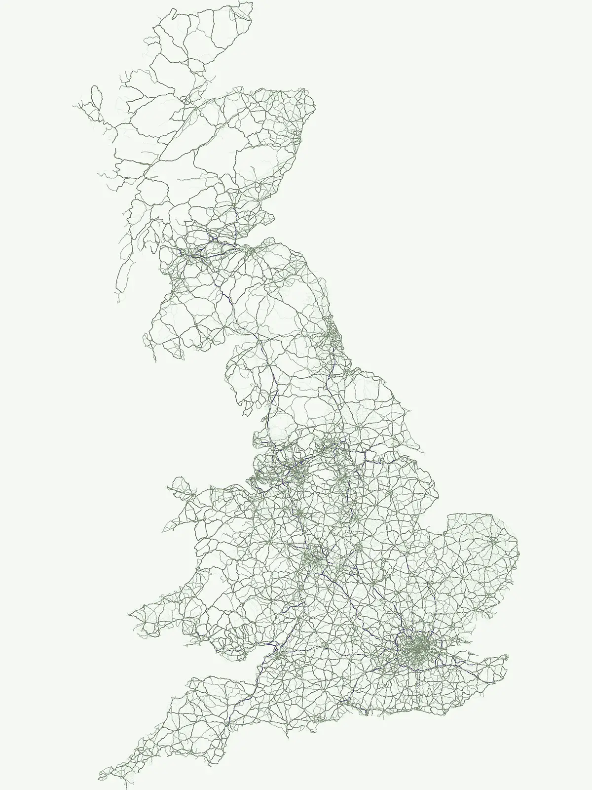
A mapped atlas of offshore, coastal, and sea-linked protected landscapes within British waters
Marine Protected Areas and Coastal Conservation Zones Across the United Kingdom Geography
Explore the marine geography and conservation footprints defining the coastal identity of the United Kingdom. This atlas gathers protected marine sites, ranging from ocean-linked estuaries to offshore seabed habitats, into a cohesive geographic view. Trace the distribution of aquatic ecosystems and littoral zones maintained for their ecological significance across the British continental shelf.
Ocean-facing conservation landscapes from island waters to mainland shores
Marine protected areas across the United Kingdom's coastal geography
Marine protected areas form a coast- and ocean-linked strand of the United Kingdom's wider protected-area system, focusing attention on aquatic ecosystems and associated shorelines. Their distribution adds a marine dimension to the mapped conservation geography of Great Britain and Northern Ireland.
Browse marine protected areas across the United Kingdom's coastal waters
Browse protected areas recorded as marine protected areas across the United Kingdom and compare their place within the country's coastal geography. The filtered collection brings ocean-, island-, and shoreline-linked conservation records into one country-specific view without implying identical protection frameworks.
Marine protected areaScotlandMarine
Lamlash
Maritime terrain and conservation landscapes of the Firth of Clyde
Located along the eastern coast of the Isle of Arran, the Lamlash Marine Protected Area serves as a landmark for community-led conservation in Scotland. The site protects a vital marine ecosystem including maerl beds within a sheltered natural harbour, providing a distinct study of coastal boundaries and marine terrain facing Holy Isle across the Firth of Clyde.
Deep-water marine basins and protected Highland coastal terrain.
Discover the mapped landscape of Loch Sunart, a 31-kilometre sea loch in the Lochaber region of Scotland. This marine protected area is characterized by its complex underwater bathymetry, ranging from shallow tidal channels to deep basins reaching 124 metres, providing a unique look into the intersection of terrestrial Highland mountains and essential underwater bivalve and reef communities.
Exploring the tidal basins and underwater terrain of Ross and Cromarty.
Loch Carron stands as a landmark marine protected area defined by its dramatic underwater depth changes and robust tidal currents. This protected sea loch features the world's largest flame shell colony nestled beneath the cliffs at Strome Castle. The surrounding Highland geography of Ross and Cromarty creates a compressed, mountain-framed landscape that influences the rich ecological character of this essential coastal habitat.
Marine protected areaArgyll and ButeMarineMountain
Loch Fyne
Mapped sea loch landscapes in Argyll and Bute
Loch Fyne represents a unique intersection of maritime tradition and protected natural terrain. This entry maps the loch as it winds through the Cowal Peninsula, highlighting the contrast between northern mountain hinterlands and southern coastal inlets. Users can examine the extent of its protected waters, the surrounding topography, and its historical significance within the geography of western Scotland.
Marine protected areaArgyll and ButeMarineMountain
Loch Goil
Protected marine habitats in the Argyll and Bute region
Loch Goil offers a distinct look at an enclosed, sea loch landscape in western Scotland. Surrounded by the Arrochar Alps and steep conifer slopes, this marine protected area demonstrates the intersection of Highland wilderness and formal conservation zones. Use this atlas resource to understand its topographical form and regional context.
Mapped tidal basins, flame shell reefs, and Atlantic oakwood habitats
Loch Creran is a primary example of integrated marine and coastal conservation on the west coast of Scotland. Characterized by its long, narrow form and dramatic bathymetry, the loch creates a rich environment where rapid tidal currents meet sheltered forest shorelines. This record provides a detailed look at the geographic structure, protected seabed zones, and the transition from sea loch to the ancient woodlands at the head of the inlet.
Loch Alsh sits as a distinct marine boundary in the Northwest Highlands of Scotland. This protected area safeguards a vast seafloor ecosystem, most notably a massive flame shell colony that has transformed local understanding of marine biodiversity in the region. The loch landscape blends ancient metamorphic geology with the fjord-like waters separating Skye from the mainland, offering a unique perspective on protected coastal terrains.
Subtidal reefs and coastal seagrass habitats in the English Channel.
This protected marine landscape off the coast of Cornwall covers diverse underwater habitats including the Greeb reef and the waters surrounding St Michael's Mount. The area is characterized by its significant seagrass beds, which act as vital nursery habitat for fish and shellfish species. Explore the structural geography of this marine protected area and its position within the broader coastal environment of South West England.
Detailed geographic analysis of the Lizard Peninsula marine environment
The Manacles serves as a critical marine protected area featuring an intricate layout of jagged rock clusters, maerl beds, and historical shipwreck sites. This atlas entry provides a structured look at the reef geography, submerged terrain characteristics, and the environmental significance of this landmark formation within the waters of Falmouth Bay.
A distinctive sea loch ecosystem in Argyll and Bute.
Investigate the coastal topography and protected marine boundaries of Loch Sween. This sea loch is defined by its irregular branching inlets and islands, creating a unique habitat mosaic of maerl beds and burrowed mud within the broader context of the western Scottish coastline.
More designation routesExplore adjacent conservation frameworks and regional park classifications across the United Kingdom7
Compare United Kingdom Designations Across Protected Area Types
Evaluate how marine environments connect with terrestrial habitats by browsing other protected area types across the United Kingdom. Comparing adjacent designation families reveals the full scope of regional conservation frameworks and national park classifications.
Discover nationally significant protected areas and park geography.
National park
17%
This route focuses on the United Kingdom's National Park designation, offering a country-specific view of these protected landscapes. Explore the mapped boundaries, regional distribution, and the role these parks play in the UK's broader protected-area identity. Find key natural areas for geography-first exploration and atlas browsing.
Mapping essential protected lands throughout the United Kingdom.
Nature reserve
17%
Investigate the distribution and ecological focus of nature reserves in the United Kingdom. This mapping resource highlights core conservation areas, ranging from complex coastal estuaries to inland wetland and bog systems, supporting a deeper understanding of national protected land geography.
Geographic index of scenic protected areas and stewardship landscapes
Protected landscape
14%
Investigate the distribution and mapped boundaries of protected landscapes throughout the United Kingdom. This collection focuses on regions where scenic character and cultural geography define the protected status, offering a deep look at the lands managed for both ecological value and long term traditional stewardship.
Regional conservation and protected natural landscape index
Protected area
12%
Explore the collection of protected area sites found throughout the United Kingdom. This geographic index tracks diverse conservation locations, offering map-based insight into regional land stewardship where sites fall outside more rigid classification systems.
Geography of wildlife conservation and habitat reserves
Wildlife reserve
4%
Investigate the distribution of wildlife reserve locations across the United Kingdom. This atlas entry focuses on the regional geography of animal conservation areas, highlighting how these protected landscapes maintain habitat integrity and support the broader ecological stability of the British archipelago.
Mapped conservation regions across the United Kingdom
Biosphere reserve
3%
Examine the geography of Biosphere reserves in the United Kingdom. This atlas highlights areas designated for ecological stewardship and sustainable coordination, providing insights into the distribution and landscape context of these high-level conservation territories.
Browse a collection of significant Natural Monuments in the United Kingdom. This geographic index covers protected landscapes and standout geological features recognized for their scenic, ecological, and cultural importance within the British landscape.