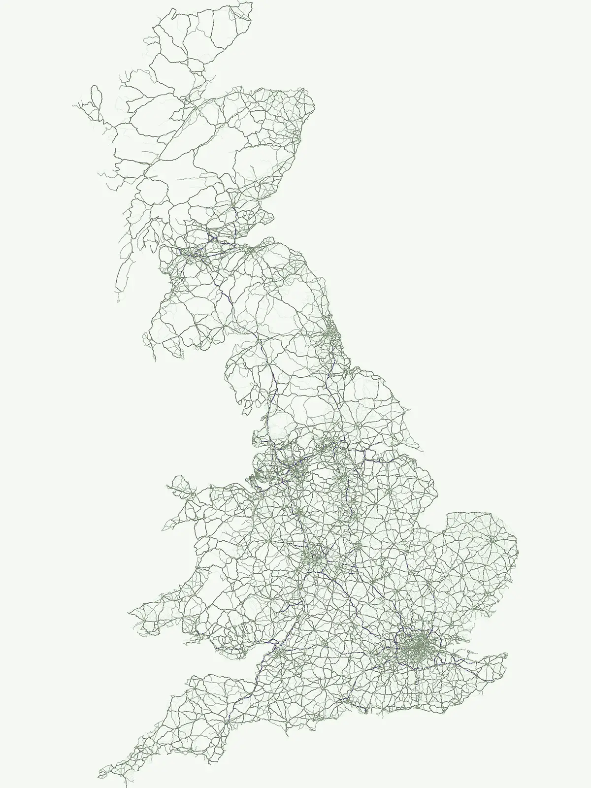
A curated atlas of singular natural features and protected scenic sites throughout the British Isles
Natural Monuments and Protected Geological Landmarks Across the United Kingdom Landscapes
The United Kingdom hosts unique natural monuments that define the character of its coastal and terrestrial geography. These designated sites preserve distinctive geological formations, ecological zones, and landscape features of exceptional value. This atlas organizes these protected landmarks to provide clear insight into the most significant natural monuments found throughout the British Isles.
Cataloging exceptional geological formations and coastal landmarks across British terrain.
Natural Monuments in the United Kingdom: Protected Geological Landmarks
Natural monuments in the United Kingdom designate singular geological formations and coastal landmarks carrying high conservation value. Exploring these protected sites reveals dramatic chalk sea stacks and unique terrain shaped by marine forces across British islands.
Natural monument
Mapped park1
Share of country parks1%
Largest mapped parkSize data is not available yet for the leading mapped park in this designation.
Oldest mapped parkEstablished-year data is not available yet for the oldest mapped park in this designation.
Parks in this designationExplore geologic formations and notable protected landmarks across regional landscapes1
Natural monument Protected Sites in the United Kingdom
Browse registered natural monuments in the United Kingdom to examine coastal geology, chalk sea stacks, and marine conservation zones. Protected landmark listings provide structural geographic data for comparing notable terrain formations across the country.
Natural monumentIsle of WightMarine
The Needles
Geological formations and chalk headland terrain on the Isle of Wight
The Needles represents a unique geological intersection of vertical chalk strata and maritime history at the edge of the Isle of Wight. This protected area encompasses dramatic sea stacks, clifftop heathland, and critical marine habitats, offering a window into the complex coastal landscape of the English Channel and the regional geology of southern England.
More designation routesExplore adjacent conservation frameworks and regional park classifications across the country.7
Compare Other Protected Area Designations in United Kingdom
Examine how alternative protected area types categorize terrain across the United Kingdom beyond singular natural monuments. Broadening the evaluation helps visitors understand diverse regional conservation frameworks and park management strategies.
Mapped aquatic ecosystems and marine protected landscapes
Marine protected area
31%
Navigate the coastal and marine geography of the United Kingdom. This collection organizes twenty-two protected areas focused on aquatic ecosystems, reefs, and islands, providing a clear atlas-based understanding of the nation's offshore conservation footprint and maritime terrain.
Share of country parks31%
28Mapped parksUnited Kingdom Marine Protected Areas Atlas
Discover nationally significant protected areas and park geography.
National park
17%
This route focuses on the United Kingdom's National Park designation, offering a country-specific view of these protected landscapes. Explore the mapped boundaries, regional distribution, and the role these parks play in the UK's broader protected-area identity. Find key natural areas for geography-first exploration and atlas browsing.
Mapping essential protected lands throughout the United Kingdom.
Nature reserve
17%
Investigate the distribution and ecological focus of nature reserves in the United Kingdom. This mapping resource highlights core conservation areas, ranging from complex coastal estuaries to inland wetland and bog systems, supporting a deeper understanding of national protected land geography.
Geographic index of scenic protected areas and stewardship landscapes
Protected landscape
14%
Investigate the distribution and mapped boundaries of protected landscapes throughout the United Kingdom. This collection focuses on regions where scenic character and cultural geography define the protected status, offering a deep look at the lands managed for both ecological value and long term traditional stewardship.
Regional conservation and protected natural landscape index
Protected area
12%
Explore the collection of protected area sites found throughout the United Kingdom. This geographic index tracks diverse conservation locations, offering map-based insight into regional land stewardship where sites fall outside more rigid classification systems.
Geography of wildlife conservation and habitat reserves
Wildlife reserve
4%
Investigate the distribution of wildlife reserve locations across the United Kingdom. This atlas entry focuses on the regional geography of animal conservation areas, highlighting how these protected landscapes maintain habitat integrity and support the broader ecological stability of the British archipelago.
Mapped conservation regions across the United Kingdom
Biosphere reserve
3%
Examine the geography of Biosphere reserves in the United Kingdom. This atlas highlights areas designated for ecological stewardship and sustainable coordination, providing insights into the distribution and landscape context of these high-level conservation territories.