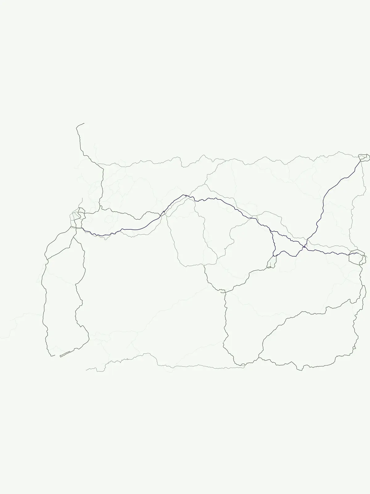
Browse the mapped geography and protected land context of Equatorial Guinea's national parks.
Equatorial Guinea National Parks: Discover Nationally Significant Protected Areas
Equatorial Guinea features three nationally significant areas designated as national parks, representing key protected landscapes for conservation and public recognition. This page provides an atlas-driven overview of these designated areas, highlighting their geographic distribution and role in the country's protected-area identity. Explore the mapped boundaries and natural terrain context unique to Equatorial Guinea's significant park network.
Explore the geographic spread and ecological significance of Equatorial Guinea's national park system.
Discover National Parks in Equatorial Guinea: Flagship Protected Landscapes of Central Africa
National parks in Equatorial Guinea represent a critical component of the nation's protected-area network, preserving diverse ecosystems across mainland and island territories, including volcanic landscapes and tropical rainforests. This designation often signifies flagship conservation efforts and offers a structured atlas view into the country's most significant natural heritage areas for geographic exploration.
Parks in this designationBrowse a focused list of Equatorial Guinea's National Parks, mapping their distribution and conservation focus across the country's diverse geography.3
National Parks in Equatorial Guinea: Discover Protected Landscapes
Discover the specific National Parks found within Equatorial Guinea, presented as a clear atlas view of protected areas across its mainland and island territories. Examining this focused list helps users understand the national distribution of these flagship conservation landscapes and compare their geographic context.
National parkEquatorial GuineaMountain
Monte Alén National Park
Explore regional geography and park boundaries.
Monte Alén National Park, a designated national park in Equatorial Guinea, offers a unique focal point for understanding protected landscapes. This entry provides detailed geographic context, highlighting the park's mapped boundaries and its significance within the atlas of Central African natural terrain. Investigate the terrain and regional setting of Monte Alén National Park for structured geographic discovery.
Explore the mapped boundaries of this national park.
Altos de Nsork National Park stands as a designated national park within Equatorial Guinea, offering a distinct protected landscape. This entry provides essential atlas-driven details, emphasizing its geographic setting and mapped park boundaries. Understand its regional context and its significance as part of the conservation network in Central Africa, contributing to a richer understanding of mapped natural terrains.
Explore Bioko Norte's unique montane terrain and rich avifauna.
Pico Basilé National Park is a critical conservation zone encompassing Equatorial Guinea's highest point, Pico Basilé volcano. This national park protects unique montane forest ecosystems and their diverse inhabitants, including several threatened primate species and a significant bird population, making it a key protected area on Bioko Island. Understand its geographic setting within Bioko Norte and its role as a vital natural landscape.