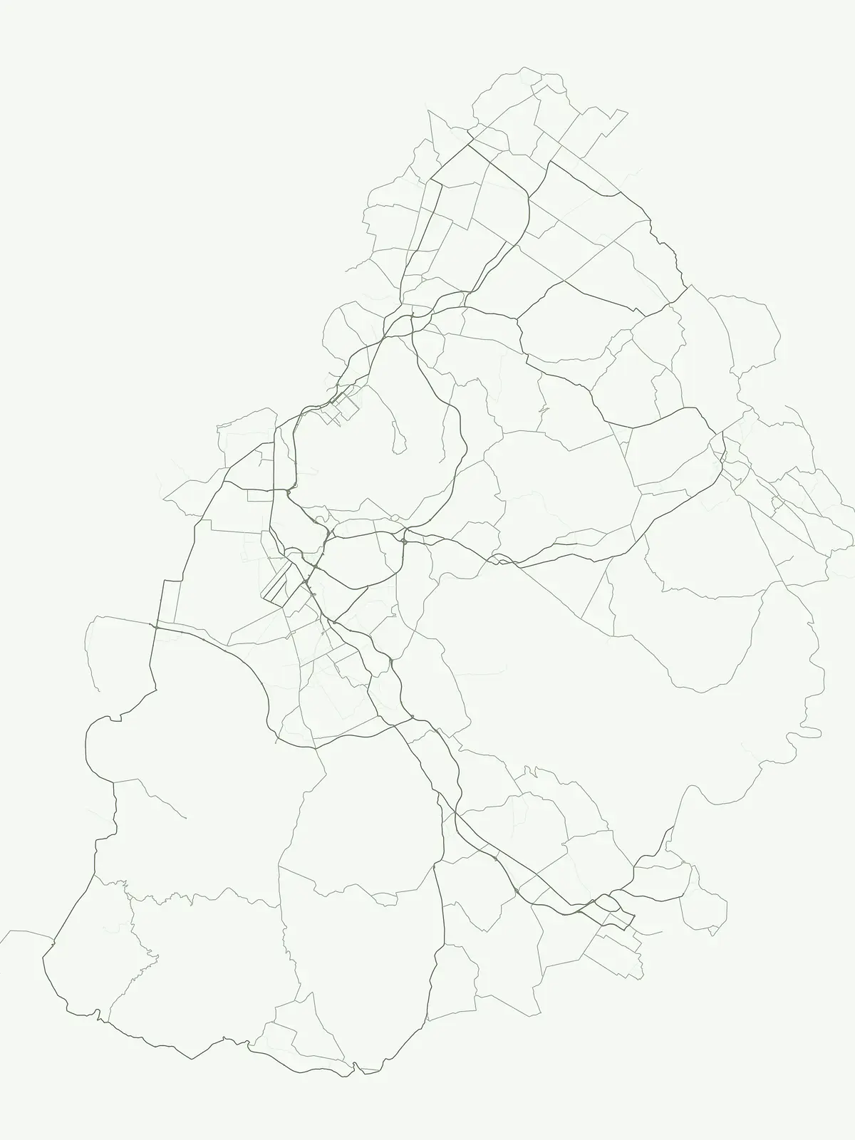
Browsing essential natural landscapes and regional protected sites across the Mauritian territory
Comprehensive Atlas of Protected Areas and Conservation Sites Within Mauritius
This collection serves as a focused index for protected areas in Mauritius, encompassing natural sites that maintain crucial environmental importance. Use this resource to trace island geography and identify where protected landscapes are situated within the broader Mascarene region. Our data provides clear geographic context for those exploring the conservation heritage and natural terrain of this Indian Ocean nation.
Discover general protected natural areas and reserve geography across the Mascarene Islands.
Exploring Protected Areas in Mauritius: A Flexible Index of Island Conservation Sites
General protected areas in Mauritius encompass vital island habitats, marine zones, and wildlife refuges that fall outside narrower conservation categories. Reviewing these locations provides a comprehensive look at regional park geography and specialized ecological reserves across the nation.
Protected Area Index and Mapped Geography for Mauritius
Examine the verified protected area inventory for Mauritius to trace island conservation sites and coastal habitats. Compare regional park records to analyze specific protected zones and biological reserves across the country.
Protected areaRivière du Rempart DistrictMarine
Île Plate
Island biodiversity and volcanic landscapes in northern Mauritius
Île Plate is a compact island covering approximately 2.5 square kilometres, notable for its basalt geology and status as a protected area. It anchors a wider system of islets, offering a rich study of indigenous vegetation, seabird habitats, and tangible maritime history in the Indian Ocean.
More designation routesCompare adjacent conservation categories across the national park system.3
Other Park Designations in Mauritius and Related Protected Area Types
Examine alternative conservation categories across Mauritius to understand how specific reserve types shape regional protected areas. Comparing national parks and marine reserves alongside broad zones reveals the complete geographic distribution of local habitats.
Geographic discovery of protected habitat zones.
Nature reserve
60%
Browse the network of nature reserves located across Mauritius. This curated collection details protected conservation areas, focusing on their role in preserving island ecosystems and endemic species within the Mascarene region.
Explore the mapped boundaries of Mauritius's national parks.
National park
27%
This page offers a focused exploration of Mauritius's national parks, a designation highlighting nationally significant protected areas. Understand the country-specific geography and mapped presence of these reserves, providing a clear view of their distribution and importance within the island nation's broader conservation efforts. It serves as a direct gateway to understanding the atlas of protected lands.
Explore Mauritius's designated ocean-facing and coast-linked protected sites.
Marine protected area
7%
Navigate the protected marine landscapes of Mauritius. This country-specific atlas consolidates information on marine protected areas, emphasizing their geographic significance and role in conserving aquatic ecosystems and shorelines. Discover the mapped boundaries and ecological context of these important conservation sites across the island nation's littoral and offshore geography.