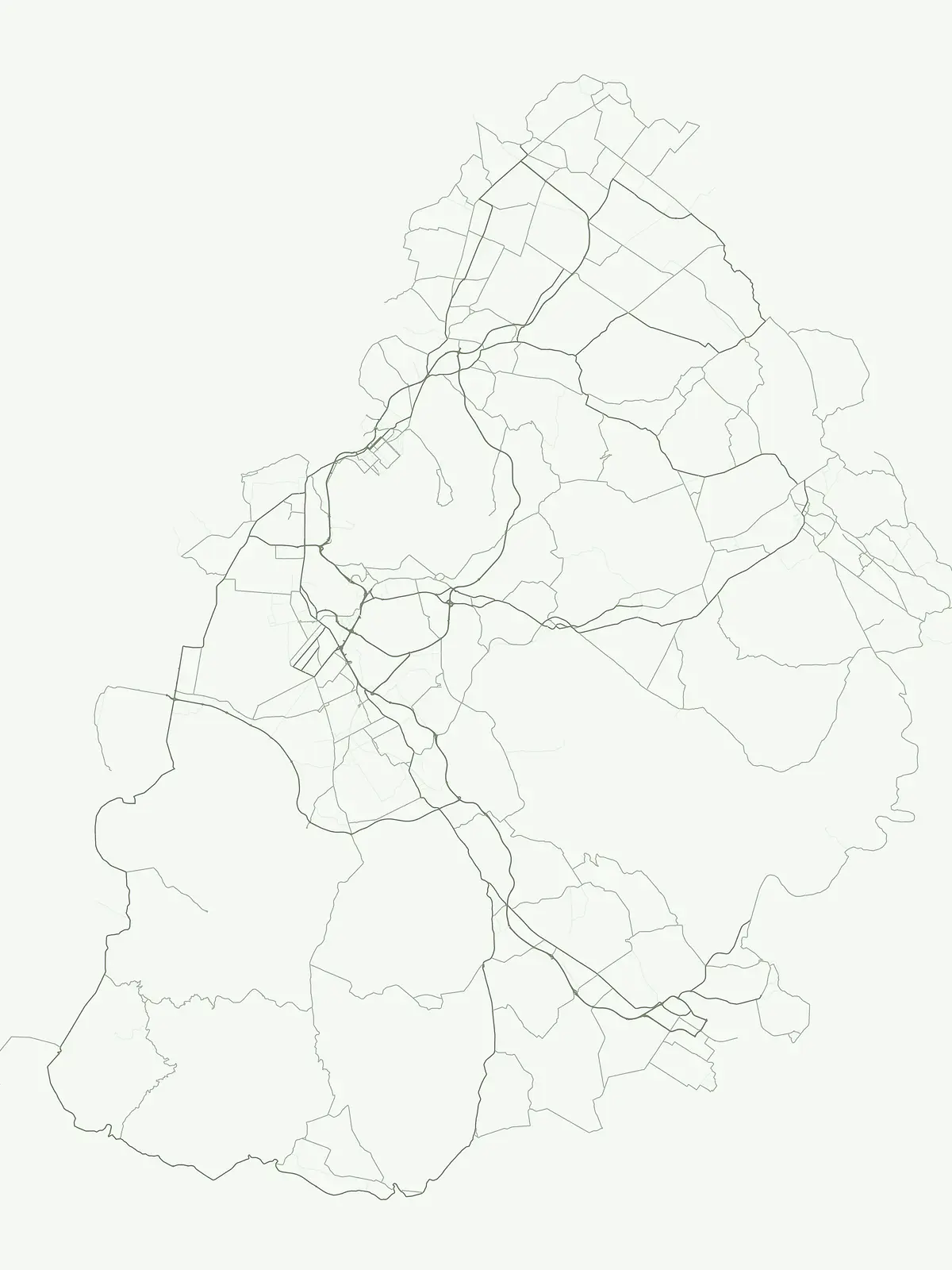
Examining the ecological reach and distribution of protected nature reserves across the island nation.
Nature Reserves in Mauritius: A Detailed Atlas of Protected Areas and Conservation Landscapes
Mauritius maintains a specialized network of nature reserves designed to safeguard sensitive habitats, endemic flora, and island ecosystems. This collection provides an atlas-based view into the conservation areas that define the country, highlighting how these protected spaces serve as vital refuges for native species within the broader Mascarene Islands landscape.
Mapping ecological sanctuaries, endemic forests, and specialized conservation zones across the island
Nature Reserve in Mauritius: Protected Habitats and Island Conservation Areas
Nature reserves across Mauritius safeguard vulnerable island ecosystems, endemic flora, and critical bird habitats through strict conservation boundaries. Analyzing these protected landscapes reveals specialized zones dedicated to native species recovery and ecological preservation within the Mascarene archipelago.
Nature Reserve Protected Areas in Mauritius: Mapped Conservation Map
Explore the complete inventory of nature reserves in Mauritius, featuring specialized island sanctuaries and restored endemic forests. Filter through regional conservation zones to compare protected habitats and native flora across the island.
Nature reserveMauritius
Round Island
Rugged volcanic terrain and endemic restoration site
Located north of the main Mauritian landmass, Round Island functions as a significant protected nature reserve. This volcanic islet is characterized by dramatic sea cliffs, steep slopes, and recovering palm forest habitats that support a high density of endemic reptiles and birds within its small geographic footprint.
A rugged basalt peak in the Moka District mountain range.
Le Pouce Nature Reserve guards a critical 0.69 square kilometer patch of upland forest on the slopes of the third highest mountain in Mauritius. This protected area is recognized for its dramatic volcanic terrain and as the rare surviving home for the critically endangered Le Pouce Mountain Screwpine, providing an essential window into the island's unique ecological and geological history within the Moka Range.
A critical nature reserve and rewilding site in the Grand Port bay
Ile aux Aigrettes represents a unique geographic outpost off the south-east coast of Mauritius, defined by its flat coral limestone terrain. As a protected nature reserve, it offers insights into the recovery of rare dry coastal forest ecosystems and the ongoing scientific efforts to maintain endemic biodiversity on a small maritime scale.
Indigenous rainforest, volcanic terrain, and conservation refuge
Located in the Bambou mountains of southeastern Mauritius, Vallée de Ferney is a 200-hectare nature reserve known for its protected indigenous rainforest and ongoing rewilding projects. As a key conservation site in the Grand Port District, the reserve offers a look at rare endemic species and the unique moisture-loving vegetation of the island's eastern volcanic series. Explore the mapped boundaries and natural terrain of this significant protected landscape.
Protected nature reserve and rewilding landscape in Rodrigues
Gain insights into the geographic and ecological structure of the François Leguat Giant Tortoise and Cave Reserve. This protected area on the Anse Quitor peninsula offers a look at reclaimed limestone terrain, expansive show caves, and the intentional rewilding of indigenous coastal vegetation across a significant fragment of the original island environment.
Centrally located conservation area in the Rodrigues highlands
Positioned atop the volcanic ridges of eastern Rodrigues, Grande Montagne Nature Reserve functions as an essential sanctuary for rare endemic biodiversity. This compact landscape provides a unique opportunity to study the intersection of volcanic geology, native forest regeneration, and island-specific conservation efforts through mapped trails and elevated viewpoints.
Indigenous forest restoration in southwest Mauritius
Ebony Forest stands as a primary nature reserve in the Chamarel hills of Mauritius, where extensive restoration efforts have reclaimed native semi-dry forest and upland ecosystems. This site offers an essential look at the island's endemic biodiversity through its protected ebony stands and rehabilitated slopes, making it a key component of the broader southwestern Mauritian conservation network.
Regenerated highland forest and endemic flora reserve
Located in the central highlands of Mauritius near Curepipe, Monvert Nature Park protects a significant portion of recovering indigenous woodland. The park functions as a major botanical conservation site, featuring an arboretum with over 150 endemic species and a network of nature trails that traverse its unique highland terrain. This reserve offers a grounded look at the island's botanical diversity and ongoing forest restoration efforts.
A concentrated site for Mauritian ecological conservation
Perrier Nature Reserve represents a key protected landscape in the central highlands of Mauritius. This rare pocket of primary forest is recognized for its unique wet forest ecosystem and its critical role in the ongoing conservation of highly threatened endemic plants. The site remains a significant reference for the island's indigenous vegetation.
More designation routesExamine adjacent conservation categories to understand the full national protected landscape.3
Compare Other Park Designations and Protected Area Types Across Mauritius
Evaluate how different administrative frameworks shape environmental management across Mauritius by comparing nature reserves with national parks and marine protected areas. Analyzing adjacent designation types reveals the complete spectrum of regional conservation priorities and land protection policies.
Explore the mapped boundaries of Mauritius's national parks.
National park
27%
This page offers a focused exploration of Mauritius's national parks, a designation highlighting nationally significant protected areas. Understand the country-specific geography and mapped presence of these reserves, providing a clear view of their distribution and importance within the island nation's broader conservation efforts. It serves as a direct gateway to understanding the atlas of protected lands.
Explore Mauritius's designated ocean-facing and coast-linked protected sites.
Marine protected area
7%
Navigate the protected marine landscapes of Mauritius. This country-specific atlas consolidates information on marine protected areas, emphasizing their geographic significance and role in conserving aquatic ecosystems and shorelines. Discover the mapped boundaries and ecological context of these important conservation sites across the island nation's littoral and offshore geography.
Explore the range of protected areas in Mauritius, featuring mapped sites and conservation zones that form the backbone of local biodiversity management. This index provides essential geographic data for tracking protected terrain across the islands of the Mauritian nation.