
Mori Atlas logo
Country natural feature index

Tracing natural flowing watercourses across diverse mountain and valley terrain

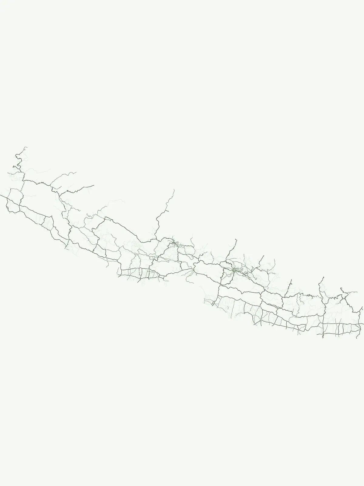
Geographic Distribution of Streams within National Parks and Protected Landscapes of Nepal

This collection examines streams throughout protected lands in Nepal, highlighting the diversity of watercourses within varied Himalayan landscapes. These features, ranging from glacial melt to seasonal spring-fed channels, form critical components of local drainage networks. Browse identified water systems to understand their connection to broader topographic features and park geography across the country.

Geographic Distribution of Streams within National Parks and Protected Landscapes of Nepal

Mapping glacial tributaries, perennial flows, and stream hydrology across Nepal

Explore Named Stream Features in the National Parks of Nepal

Users can systematically catalog named stream systems, seasonal watercourses, and glacial tributaries situated within the borders of protected regions across Nepal. Analyzing local drainage channels helps clarify hydrologic linkages and elevation gradients that define different national park environments.

No natural features found

Other countries

Compare mapped park geographies and trace protected landscapes across the broader South Asian atlas.

Explore National Parks in Countries Beyond Nepal and the Himalayan Region

After exploring Nepal's Himalayan national parks and mountainous protected areas, continue your geographic discovery by browsing detailed park lists and conservation landscapes in nearby countries. Examining these distinct national park collections helps users understand regional protected area patterns, compare diverse ecosystems, and trace transboundary conservation across the wider South Asian atlas.
Slovakia

Slovakia Stream Collections: Mapped Watercourses in National Parks and Protected Areas

Access a detailed inventory of named streams identified across various Slovakia protected areas. This collection highlights individual watercourses, their flow characteristics within channel networks, and their geographic integration into the local terrain and regional mountain ecosystems.

181 features

Poland

Streams and Natural Watercourses in the Protected Landscapes of Poland

Explore the inventory of named streams identified within the protected areas and national parks of Poland. This dataset provides geographic insight into the flow regimes and topographic associations of various watercourses, allowing for a comparative analysis of natural drainage networks across diverse Polish ecosystems.

61 features
United Kingdom

United Kingdom Streams: Geography of Natural Watercourses in Protected Landscapes

Explore a collection of named streams mapped within the United Kingdom. This resource provides geographic and hydrological context for individual watercourses, highlighting their roles as tributaries and channels within protected natural regions and varied national terrains.

49 features
United States of America

Streams and Watercourse Networks within National Parks of the United States of America

Analyze the distribution of named streams within the United States of America park system. Gain insights into the physical geography of these watercourses as they traverse varied terrain and interact with broader regional drainage networks in protected natural areas.

43 features
Germany

Germany Streams and Natural Watercourses: An Atlas of Protected Landscape Hydrology

This collection presents named streams found in German protected areas, detailing their role as vital watercourses within broader drainage networks. Access geographic data on channels, from spring fed to seasonal flows, and trace their physical presence across the diverse regional terrain of Germany.

35 features
Peru

Stream Features in Peru: A Geographic Survey of Protected Natural Watercourses

Navigate the specific characteristics of named streams found within Peru. These records focus on watercourse dynamics, channel morphology, and tributary positions within protected regional geography. Understand how these flowing channels connect with larger watersheds to define the natural terrain of Peruvian protected lands.

26 features
Canada

Canada Stream Atlas: Mapped Watercourses Within National Protected Park Boundaries

An exploration of named streams across Canada, focusing on their presence within protected park lands. This collection highlights the diverse hydrological characteristics and spatial distribution of these flowing watercourses, offering a clear geographic perspective on their role within varied natural terrain and drainage basins.

23 features
France

Atlas of Streams and Natural Watercourses within French National Parks and Protected Areas

Investigate natural streams and watercourses situated within the diverse geography of France. This collection focuses on identified flowing channels and their roles as essential tributaries within protected park boundaries, providing a clear look at local hydrological terrain and natural drainage connectivity.

23 features
Natural feature types

Expand your geographic focus beyond streams to compare different landforms and terrain types in Nepal.

Discovering Diverse Natural Feature Types Across the Protected Landscapes of Nepal

Exploring the protected territory of Nepal reveals distinct hydrological and physical classifications that extend far beyond seasonal or perennial stream channels. Park boundaries encompass varied high-altitude terrain and specialized habitats, offering a broader geographic framework for comparing different conservation landscapes.

Mapping mountain summits and ridge systems in Nepal

Peaks

Access a structured collection of named peaks identified throughout Nepal. This resource focuses on the summit identity, elevation, and prominence of individual landforms situated within the nation protected areas. It provides a clear geographic framework for understanding the distribution of significant peaks relative to regional mountain systems.

30 features3 parks
Nepal Peaks and Mountain Summits

Examining high-altitude glaciers in the Himalayan geography.

Glaciers

Explore identified glacier formations occurring within Nepal and its associated park territories. This dataset enables focused study of how persistent ice bodies occupy mountain valleys and plateaus, providing a essential geographic context for understanding the high-altitude landscape architecture characteristic of this landlocked Himalayan nation.

4 features1 park
Explore Glaciers in Nepal

Regional survey of Himalayan water systems

Rivers

Examine the distribution and physical characteristics of rivers in Nepal. This collection documents significant watercourses that traverse protected zones, tracing their path through mountain terrain and deep gorges while providing a systematic overview of hydrological features found within the country landscape.

3 features2 parks
Nepal Rivers and Watercourse Atlas

Inland water basins in protected natural environments

Lakes

Browse the inventory of named lakes documented within protected areas in Nepal. This collection provides clear geographic context for each water body, detailing basin settings, natural inflows, and their physical connection to the surrounding Himalayan and regional landscape. It serves as an atlas-focused resource for understanding how these inland water bodies are distributed across various protected natural zones.

2 features2 parks
Nepal Lakes and Protected Area Geography

Topographic landform identification and ridge analysis

Mountain saddles

Examine the distribution and physical relief of named saddles in Nepal. This collection provides geographic context for these low points between summits, illustrating the complex ridgelines and drainage heads that characterize the high-altitude terrain within protected mountain systems.

2 features1 park
Saddles in Nepal Protected Areas

Mapping elongated low-ground terrain in Nepal protected lands

Valleys

An exploration of named valley formations within the protected areas of Nepal. This data focuses on the relationship between these elongated topographic features, local river or glacial drainage, and the surrounding mountain ridge structures within national park boundaries.

1 feature1 park
Nepal Valley Protected Area Features
MoriAtlas Explorer

Examine the Diverse Natural Features and Geographic Landscapes of Nepal

Delve into the physical geography of Nepal through this structured index of natural features located within its protected areas. MoriAtlas provides a clear view into regional terrain and landscape markers that define the country's unique conservation environments for detailed geographic study.