
Tracing the diverse geographic character and mapped terrain features across protected national landscapes
Comprehensive Atlas of Natural Features and Geological Landscapes in North Macedonia National Parks
This geographic collection maps the diverse natural features found throughout North Macedonia, focusing on the intersection of protected park boundaries and regional landforms. By cataloging features from mountainous topography to unique water-based sites, the repository allows for a deeper understanding of the country's physical geography. Gain clarity on the distribution of natural landmarks while exploring how these formations relate to the broader preservation network in North Macedonia.
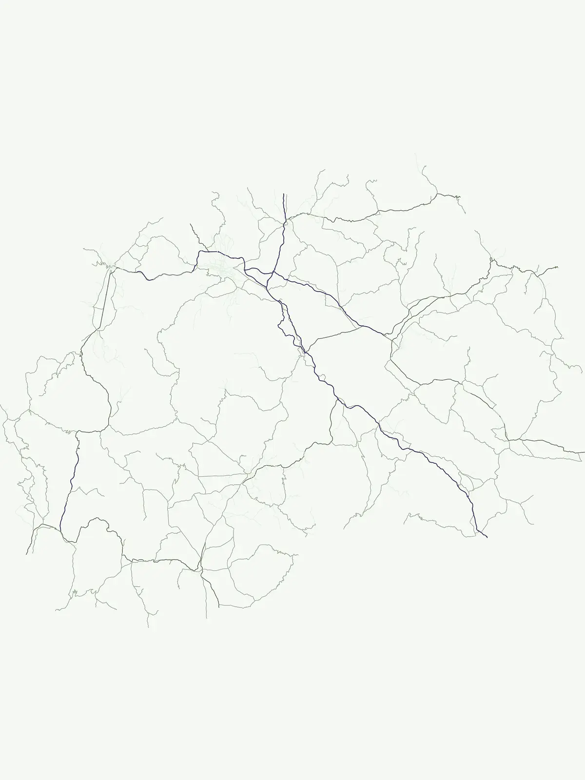
Tracing prominent peaks, waterways, and geological formations across Balkan protected landscapes
Catalog of Named Natural Features and Landmarks in North Macedonia Parks
Topographic summit records and mountain geography
Peaks
Examine a collection of named peaks and summits found within the established boundaries of national parks in North Macedonia. This dataset highlights the diverse mountain geography and elevated terrain of the region through specific summit identification and relative prominence within the local massifs.
Mapped natural terrain and protected water landscapes
Lakes
Examine a targeted set of lakes across North Macedonia, documenting their natural basin origins and hydrographic characteristics. This atlas index facilitates precise comparison of inland water features within protected regional landscapes, grounded in physical geography and basin-specific data points for landscape analysis.
Geographic analysis of mountain structures and regional ridges
Mountain ranges
Investigate the various mountain range entities documented within the protected lands of North Macedonia. These systems reflect significant geological and structural highland formations, providing a clear map of how connected ridges and elevated terrain interact with local protected area boundaries across the national territory.
Mapped river reaches and hydrological corridors
Rivers
Examine the geographical data of substantial rivers flowing through protected lands in North Macedonia. This collection highlights distinct channel segments, tributary connections, and natural watercourse patterns, providing a clear perspective on the hydrographic character of the region's protected territories.
Mapped geologic openings and regional terrain context.
Cave entrances
Analyze the distribution of cave entrance points located within the protected landscapes of North Macedonia. This collection highlights distinct surface openings that provide access to subterranean voids, allowing for the study of local karst morphology and landscape integration across various national park environments.
Geographic atlas of reservoirs within Macedonian park regions
Reservoirs
Identify specific reservoirs across North Macedonia that share geographic proximity with protected parks. This resource maps the intersection of human-engineered impoundments and natural terrain, providing a structured look at how these water-control systems integrate into the diverse regional topography of the Balkan landscape.
Geographic analysis of mountain saddles in North Macedonia
Mountain saddles
Discover a structured index of identified saddle landforms situated within the protected national parks of North Macedonia. This dataset emphasizes the precise physical characteristics of these topographic low points, their elevation relative to neighboring peaks, and their integration into the wider regional mountain terrain.
Mapping stream descent features across national territories.
Waterfalls
Navigate the distribution of named waterfalls associated with the protected lands and national parks of North Macedonia. This collection offers a structured way to observe how river incision and geological variation create unique water features across the national landscape.
Continue Exploring Protected Areas Across North Macedonia's Geography
Deepen your understanding of North Macedonia's natural heritage by continuing to explore its national parks and protected landscapes. This browse view is your gateway to understanding the country's conservation efforts and the geographic context of its diverse natural terrain. Uncover the mapped boundaries and regional patterns that define protected territories across North Macedonia.