
Nature reserveNorth Macedonia

Lake Ohrid
A tectonic mountain lake system in North Macedonia
Lake Ohrid, in North Macedonia. Landscapes: mountains, cliffs, and forests.
- Area
- 358 km²
- Relief
- Mixed relief
- Climate
- Mediterranean
- Access
- Easy access

Browse and navigate the mapped protected landscapes across North Macedonia's diverse terrain.
Explore maps and profiles of protected areas in North Macedonia, including Lake Ohrid and Mavrovo.
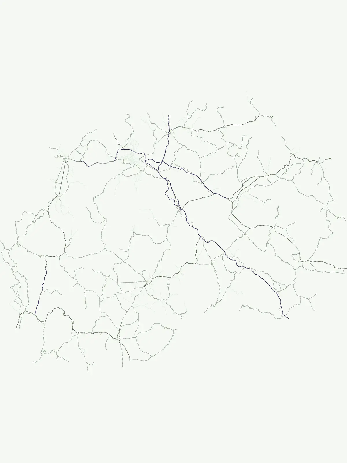
Comparing conservation scale, historical age, alpine habitats, and diverse climate zones.
Known protected area
Area data available for 4 of 4 parks.
Median park size
Median across 4 parks with known area.
Explore the mapped distribution and regional spread of protected landscapes across North Macedonia.
North Macedonia is a landlocked country in Southeast Europe, constituting the northern third of the historical region of Macedonia. It gained independence from Yugoslavia in 1991 and operates as a unitary parliamentary republic. The country is known for its diverse ethnic composition, with Macedonians forming the majority and Albanians as a significant minority, along with Turks, Roma, Serbs, and other groups.
Discover the mapped geography of protected landscapes across North Macedonia's diverse terrain.
A tectonic mountain lake system in North Macedonia
Lake Ohrid, in North Macedonia. Landscapes: mountains, cliffs, and forests.
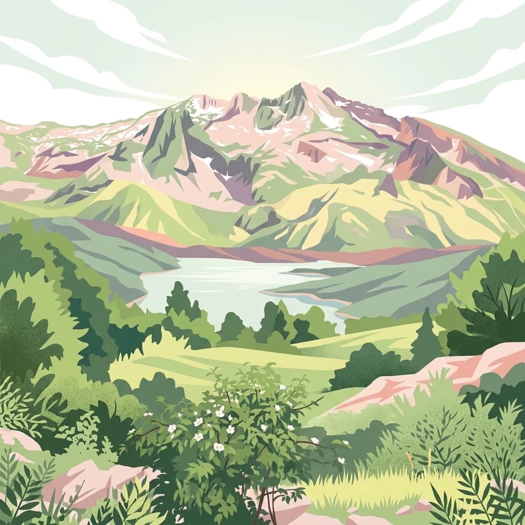
Mapped geography of Alpine peaks, gorges, and unique endemic species.
Mavrovo National Park, in North Macedonia. Landscapes: mountains, valleys, and plateaus.
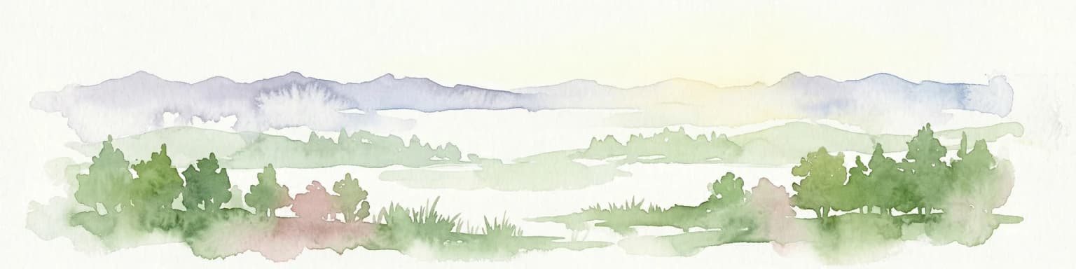
Explore unique glacial features and endemic forests within Municipality of Bitola.
Pelister National Park, a pioneering protected area in North Macedonia, offers a rich tapestry of alpine geography and unique geological formations. This page provides detailed information on the park's landscape, including its dramatic mountain massif within Municipality of Bitola, the rare Macedonian pine forests, the striking 'stone rivers' formed by ancient glacial processes, and the serene Pelister Eyes glacial lakes. Discover the park's mapped boundaries and its significance as a conservation heritage site within the Balkan Peninsula.
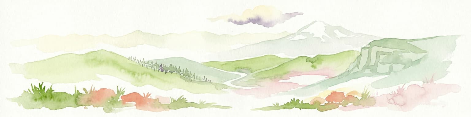
Explore glacial lakes, high peaks, and critical Balkan lynx habitat.
Šar Planina National Park is an expansive protected area in North Macedonia, defined by its striking alpine terrain and significant ecological value. The park safeguards a landscape featuring approximately 220 peaks over 2,000 meters and 29 permanent glacial lakes, known as 'Šar's Eyes.' This national park serves as a vital refuge for endangered wildlife, including the Balkan lynx, and offers a unique geographic context for understanding mountain wilderness and protected land distribution in the Balkan region. Its mapped boundaries encompass a rich biodiversity and a landscape shaped by glacial and fluvial processes.
Understand how North Macedonia is shaped by terrain, ecosystems, and seasonal conditions
North Macedonia is located in the central part of the Balkan Peninsula in Southeast Europe. It is landlocked, bordered by Greece to the south, Albania to the west, Bulgaria to the east, Kosovo to the northwest, and Serbia to the north. The terrain varies from mountainous regions to valleys and plains.
The country features diverse landscapes including mountain ranges, forests, and river valleys. The Pelagonia and Tikveš plains are notable agricultural areas, while the mountain regions provide natural habitats and outdoor recreation opportunities.
North Macedonia has a Mediterranean climate with continental influences, featuring hot summers and cold winters. The country experiences moderate precipitation patterns across different regions.
Related topics and popular queries
See the mapped geography and spatial distribution of protected areas across North Macedonia.
Exploring North Macedonia's protected areas, park geography, and conservation landscapes through common questions.
Explore the diverse protected landscapes and mapped park geographies across the wider Balkan region and Southeast Europe.

Parks and protected areas in Greece, including Northern Pindus and Vikos-Aoös.

Parks and protected areas in Romania, including Danube Delta and Retezat.

Parks and protected areas in Albania, including Butrint and Primeval Beech Forests of the Carpathians and Other Regions of Europe.

Parks and protected areas in Serbia, including Đerdap and Tara.

Parks and protected areas in Croatia, including Plitvice Lakes and Paklenica.

Parks and protected areas in Hungary, including Hortobágy and Aggtelek.

Parks and protected areas in Bosnia and Herzegovina, including Sutjeska and Una.

Parks and protected areas in Bulgaria, including Pirin and Central Balkan.
Protected area types
Deepen your understanding of North Macedonia's conservation landscape by continuing to browse its represented protected area designations. This journey through classification types allows for a structured discovery of national parks and reserves, revealing the geographic and ecological context of each category. Identify specific designation groups to access detailed information and map-based exploration tools for North Macedonia's natural heritage.
Find a park and explore its geography, habitats, and monthly climate.