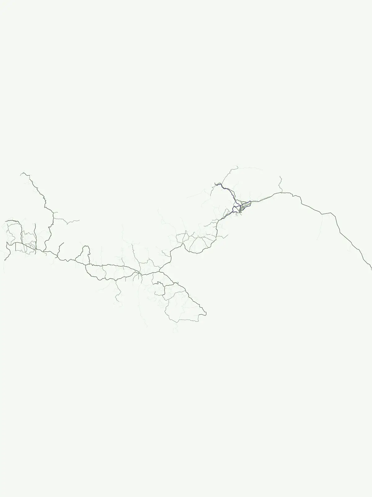
Mapping critical habitat corridors, species sanctuaries, and animal conservation landscapes
Comprehensive Mapping of Wildlife Reserve Protected Areas Across the Nation of Panama
Explore the geographic distribution of wildlife reserves within Panama. This structured atlas highlights protected habitats and conservation corridors that maintain regional ecological integrity. Browse mapped locations ranging from mountain rainforests to coastal ecosystems to understand how these zones support species populations and broader environmental stability throughout the country.
Mapping animal conservation areas and ecological networks across the country
Wildlife Reserve in Panama: Protected Habitats and Conservation Corridors
Wildlife reserves in Panama safeguard critical animal populations and complex tropical habitats ranging from cloud forests to coastal marine ecosystems. Examining these protected landscapes reveals how regional conservation corridors maintain biological continuity across national terrain.
Wildlife Reserve Parks in Panama Mapped Across Protected Landscapes
Browse matching wildlife reserves in Panama to examine regional habitat protection and animal conservation areas across the country. Filtered park records reveal how specialized protected landscapes safeguard native species and ecological corridors from coastal marine zones to montane forests.
Wildlife reservePanama City
Metropolitan Natural Park
Mapping the Pacific watershed and urban wildlife corridors
Metropolitan Natural Park stands as a rare wildlife refuge, protecting a dense secondary tropical dry forest ecosystem inside the capital. The park boundary encompasses forested slopes and ridgelines that look out over the Panama Canal, providing a unique intersection of intact biodiversity and urban geography.
Mapping the terrestrial and marine boundaries of a key Panamanian wildlife refuge.
Isla Iguana Wildlife Refuge encompasses a unique blend of tropical dry forest and expansive coral reef systems. Located off the coast of the Los Santos Province, the refuge serves as an important Pacific habitat for nesting sea turtles and migratory whales. This detailed overview covers the island's layered coastal topography, reef structures, and its role as a critical protected area within the marine geography of Panama.
A critical wildlife reserve and biodiversity center in the Panamanian highlands
Situated in the rugged mountains of western Panama, Fortuna Forest Reserve offers an expansive view of high-elevation cloud forests and steep watersheds. This wildlife reserve is defined by its extreme endemic species concentration and specialized volcanic soils, serving as a primary research site for tropical mountain ecosystem studies. Its boundaries integrate dense forest cover with operational hydroelectric energy systems within the broader Chiriqui Province landscape.
A vertical transect of tropical rainforest and mountain terrain
The Nargana Wilderness Area represents a significant wildlife reserve in Panama, encompassing 954 square kilometres of diverse tropical ecosystems. Stretching from sea level to the San Blas ridge, the reserve showcases a continuous sequence of coastal lowlands and submontane habitats. This indigenous-governed region offers a unique geographic study of forest stratification and ecological connectivity along the Continental Divide, providing a protected mosaic of habitats that are essential to the broader Guna Yala landscape.
More designation routesExplore national parks and marine reserves alongside wildlife reserves2
Compare Other Park Designations and Protected Areas in Panama
Examine adjacent protected area types across Panama to contrast wildlife reserves with national parks and marine zones. Comparing these sibling designation categories reveals how regional conservation management varies throughout the country.
Discover protected landscapes and park geography across Panama.
National park
60%
This atlas section provides a detailed look at Panama's national parks, highlighting their significance as nationally protected areas. Understand the geographic spread and landscape context of these vital reserves, offering a clear view of protected land across the country for focused exploration and discovery.
Mapped marine protected areas and coastal reserves in Panama.
Marine protected area
13%
This dedicated atlas route helps you explore Panama's marine protected areas. Delve into the specific geographic scope and mapped boundaries of sites protecting vital aquatic ecosystems, coral reefs, and coastal wetlands across the nation's extensive shorelines and ocean territories. Understand how these marine reserves contribute to Panama's overall conservation footprint.