
Mapping the geographic diversity, terrain types, and protected landscapes of Panama
Comprehensive Index of Named Natural Features Across Panama National Parks and Protected Lands
Discover a structured collection of named natural features found throughout the national park system of Panama. This index serves as a geographic reference for identifying how specific landforms, coastal zones, and forest terrains relate to broader protected areas. By mapping these features, users can better understand the regional geography and environmental distribution of natural landmarks across the country.
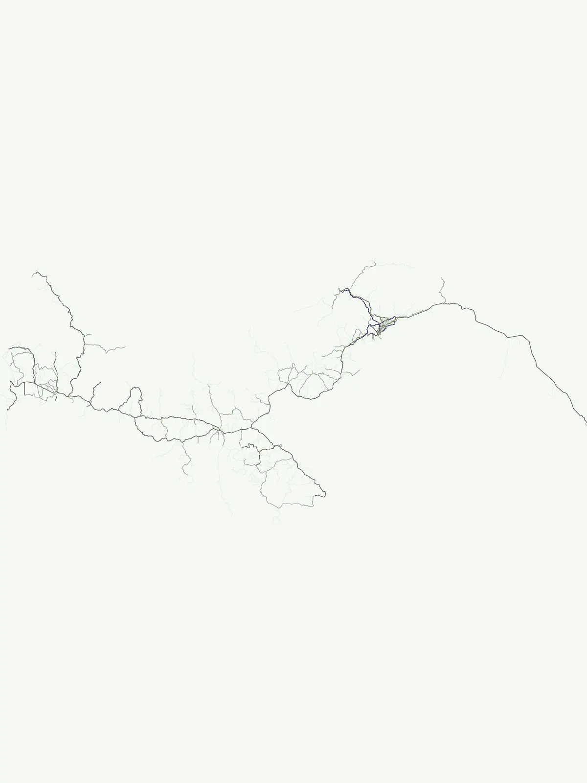
A geographic guide to distinct landforms and aquatic features within Panama's protected systems.
Natural Landmarks and Geographic Features within Panama's National Parks
Geographic summit data for protected Panamanian lands.
Peaks
Examine a collection of distinct peaks found within Panama's protected natural areas. This resource provides clear data on named mountain summits, ridges, and high elevation points, allowing for direct comparison of topographic features within the country's diverse mountain landscapes.
Continue Exploring Panama's Park Geography and Protected Landscapes
Deepen your understanding of Panama's natural heritage by continuing your exploration of its national parks and protected areas. This country-level atlas provides the foundational geographic context for discovering individual protected sites, their mapped boundaries, and their role within the wider regional landscape. Understand the full scope of Panama's mapped conservation efforts.