
Why Angeles National Forest stands out
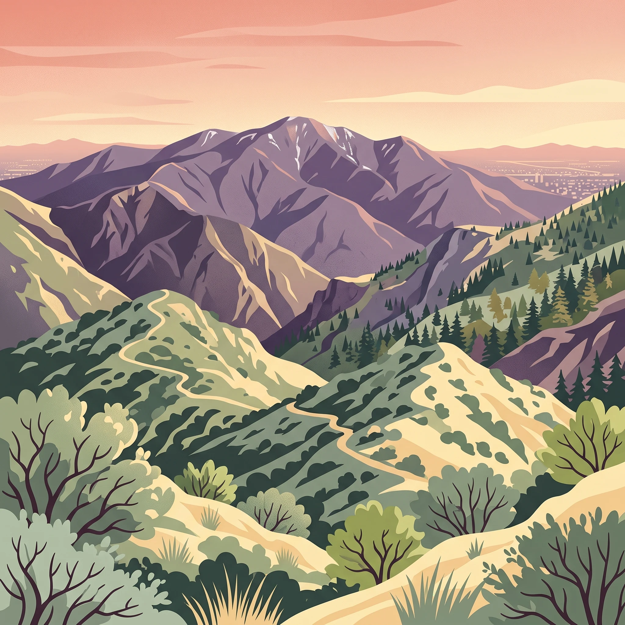
Angeles National Forest is best known as the wild mountain backdrop to Los Angeles, a large, accessible protected landscape where visitors can rise from dense suburban neighborhoods into chaparral, oak, and conifer forests within an hour. It is famous for its dramatic San Gabriel Mountains scenery, including Mt. San Antonio (Mt. Baldy), the historic Mount Wilson Observatory, and the winding Angeles Crest Highway. The forest is also recognized for its Mediterranean mountain ecosystems, its extensive network of designated wilderness areas, and its role in watershed protection and fire ecology for one of the most populated regions in the United States. The combination of rugged terrain, biodiversity, cultural sites, and proximity to a major metropolis makes Angeles National Forest one of the most distinctive urban-adjacent national forests in the country.
Angeles National Forest history and protected-area timeline
The landscape of present-day Angeles National Forest has been inhabited and used for millennia. Archaeological evidence in the inland mountain regions includes radiocarbon dates of over 7,500 years Before Present, indicating long-standing Native American presence centered on seed grinding, hunting, and ceremonial activity. Over time, the area's archaeology reflects growing populations, more complex village systems, the adoption of the bow and arrow, and broader regional trade networks stretching to the Late Period just before European contact.
European engagement with the region began in 1769 with the Portolá expedition and intensified with the establishment of the San Gabriel Arcángel Mission in 1771 and the San Fernando Rey de España Mission in 1797. The mission system dramatically altered local Native cultures and drew on the surrounding mountains for water, timber, and game. After Mexican independence in 1821, the area transitioned into a period of large ranchos, livestock grazing, and the 1842 gold discovery in Placerita Canyon, often described as the first authenticated gold find in California.
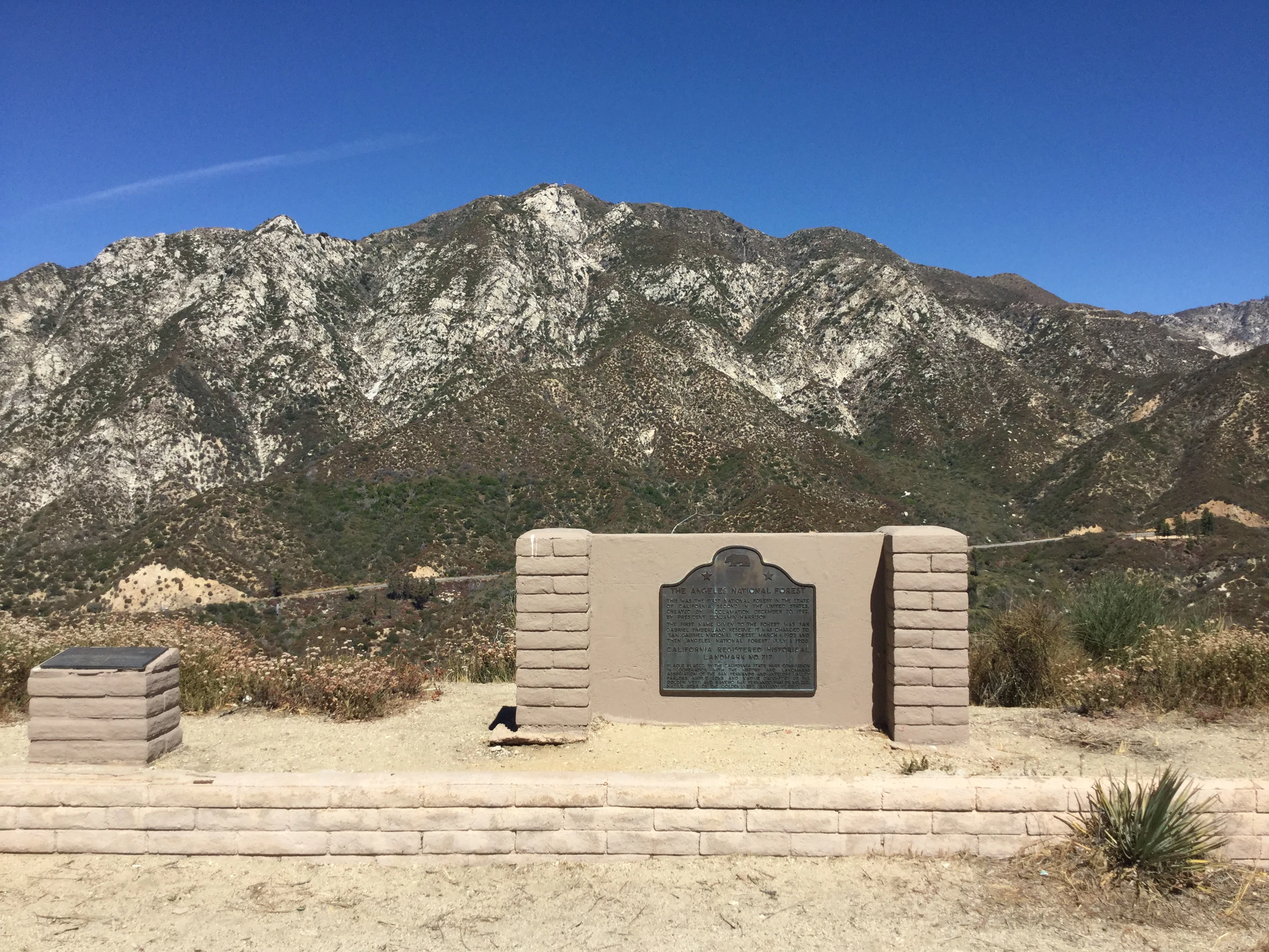
American acquisition of California following the Mexican American War brought an influx of miners, ranchers, and settlers, with road and railroad construction penetrating the San Gabriels by the mid-19th century. The late 19th and early 20th centuries saw a Great Hiking Era characterized by resorts, homesteads, the spectacular Mount Lowe Railway, and the rise of Mount Wilson as a world-class astronomical site. Concern over watershed protection after damaging floods led to the establishment of the San Gabriel Timberland Reserve in 1892, which evolved through renamings and consolidations into Angeles National Forest in 1908.
Throughout the 20th and 21st centuries, the forest has remained central to Southern California's identity even as it has faced repeated, severe wildfires such as the 1966 Loop Fire, the enormous 2009 Station Fire, the 2020 Bobcat Fire, and the 2024 Bridge Fire, each leaving lasting imprints on its ecosystems, communities, and management practices.
Angeles National Forest landscape and geographic character
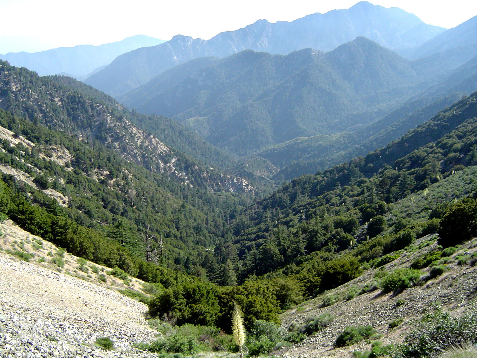
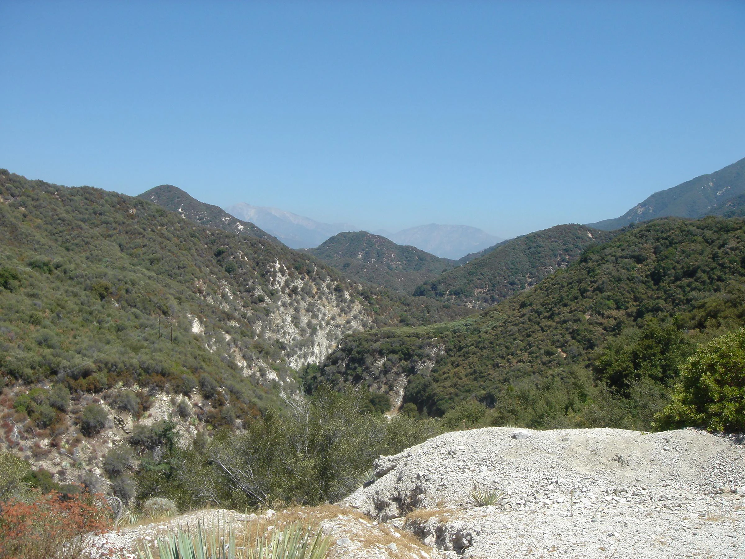
Angeles National Forest is defined by the steep, tectonically active topography of the San Gabriel Mountains and the more rounded, sedimentary profile of the Sierra Pelona Mountains. Elevations vary enormously, with summits surpassing 10,000 feet, including Mount San Antonio (Mt. Baldy), Pine Mountain, Mount Baden-Powell, and Mount Harwood, while lower canyons descend to roughly 1,200 feet.
The terrain is carved by a dense network of canyons, ridgelines, and drainages that shape its character. Major canyons such as the San Gabriel, Big Tujunga, and San Francisquito cut steep, rocky walls into the range, while the East Fork of the San Gabriel River is one of the most visited locations in the entire national forest system in California. Several reservoirs and lakes, including Pyramid Lake, Castaic Lake, Elizabeth Lake, Crystal Lake, and Jackson Lake, punctuate the landscape, alongside rivers and streams that extend for hundreds of miles.
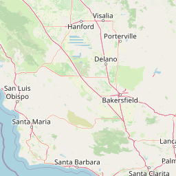
The forest's scenery is shaped as much by climate as by geology. Lower elevations are hot and dry, dominated by chaparral and oak woodlands, while higher elevations support dense conifer forests and even occasional winter snowfall. The east-facing slopes grade toward the Mojave Desert, while the south-facing slopes look down on Los Angeles, making the forest a dramatic visual and ecological transition zone between city, mountains, and desert.
Angeles National Forest ecosystems, habitats, and plant life
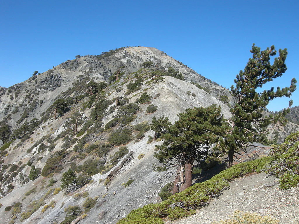
Angeles National Forest protects a representative cross-section of Southern California's Mediterranean mountain ecosystems, where vegetation changes sharply with elevation and exposure. The dominant vegetation type is dense chaparral, composed of drought-adapted shrubs that thrive on dry, sun-baked slopes and rebound vigorously after fire. Fire, in fact, is a defining ecological process in this landscape, shaping plant communities and occasionally triggering dramatic post-fire blooms such as the lavender-flowered poodle-dog bush that appeared after the 2012 fires.
Above the chaparral zone, oak woodlands give way to pine-dominated forests, including species such as Coulter pine, Jeffrey pine, ponderosa pine, white fir, lodgepole pine, and the range-defining bigcone Douglas-fir. The forest contains substantial stands of old growth, especially Jeffrey pine and mixed conifer forest, providing habitat complexity and continuity that is rare in the heavily urbanized region. Riparian zones along rivers and streams create lush corridors of contrasting habitat within the broader arid setting, and montane chaparral forms transitional ecotones where coastal and desert influences intersect.
Because the forest sits at the meeting point of several major ecological regions, it serves as an important reservoir of native plant diversity, including California walnut and endemic conifers, and it supports a network of sensitive and threatened species whose conservation depends on the protection of these varied mountain habitats.
Angeles National Forest wildlife and species highlights
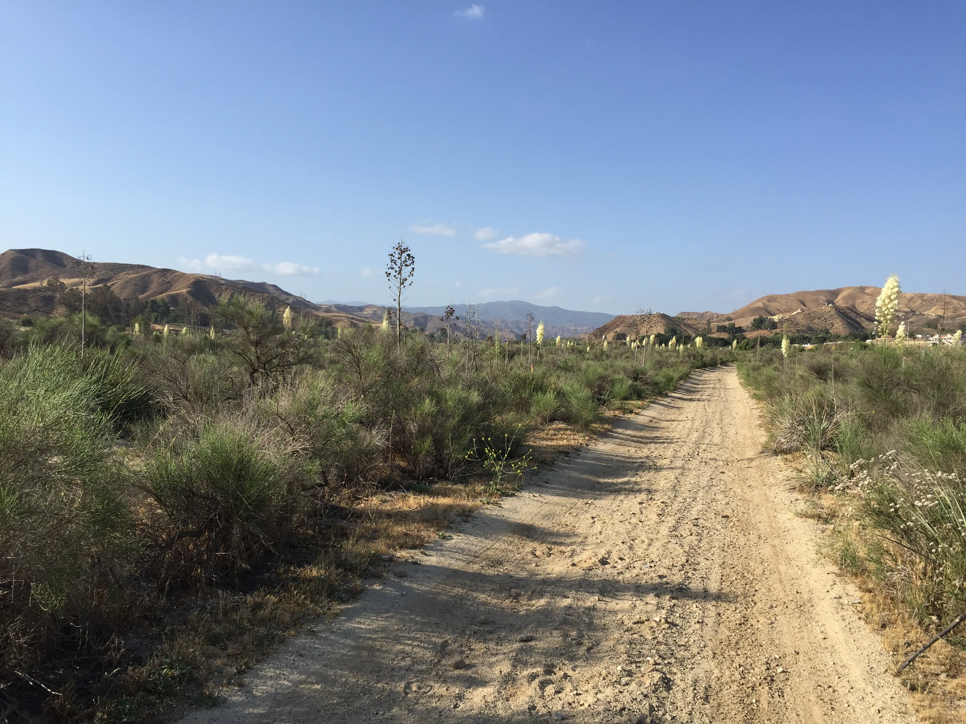
The varied elevations and habitats of Angeles National Forest support a rich community of Southern California mountain wildlife. The forest is well known as habitat for black bears, which roam the chaparral and forested slopes, and for large predators such as mountain lions, bobcats, and coyotes, all of which thrive in the more remote canyons and wilderness areas.
Mule deer are widespread and represent one of the most visible large herbivores, while bighorn sheep occupy some of the steeper, more rugged terrain, particularly in areas that link the forest to desert ranges. Gray foxes and raccoons are common in the transitional woodlands, and rattlesnakes are part of the chaparral ecosystem, especially at lower elevations. The forest's riparian zones, lakes, and reservoirs provide habitat for waterbirds and game fish, while the higher conifer forests host songbirds and small mammals adapted to cooler montane conditions.
Because the forest borders major urban areas, it plays an important role in maintaining wildlife corridors and refugia, allowing species otherwise squeezed by development to persist in proximity to one of the largest metropolitan regions in North America.
Angeles National Forest conservation status and protection priorities
Angeles National Forest holds deep conservation significance in a region where wild habitat is under intense pressure from urbanization. As one of the few large blocks of undeveloped mountain terrain adjacent to Los Angeles, it provides crucial protected habitat for plant and animal species that would otherwise be lost to development, and it supports a substantial inventory of sensitive, threatened, and endangered species.
The forest also plays a vital hydrological role. Its watersheds feed rivers, reservoirs, and groundwater systems that supply water for downstream communities, and its native vegetation helps slow runoff, reduce flood intensity, and limit landslides after fires and storms. Conservation efforts within the forest include the protection of old-growth conifer stands, the preservation of riparian habitats, and the management of designated wilderness areas that limit road-building and other forms of development.
At the policy level, the 2014 designation of the San Gabriel Mountains National Monument added an additional layer of federal protection to much of the forest's core terrain, while ongoing management efforts address the growing challenge of wildfire, habitat fragmentation, and the conservation linkages between the forest, surrounding ranges, and the Mojave Desert.
Angeles National Forest cultural meaning and human context
Angeles National Forest sits within a region of layered cultural history that stretches back thousands of years. Its canyons and high country contain archaeological sites associated with Indigenous peoples whose lifeways evolved over centuries of mountain residence, including extensive trade networks and village systems that linked the ranges to surrounding communities before European arrival.
European contact, beginning with the 1769 Portolá expedition and continuing through the Spanish mission period, the Mexican rancho era, and American settlement, left a deep imprint on the landscape. The missions of San Gabriel and San Fernando relied directly on the surrounding mountains for water and timber, and timber cutting, ranching, mining, and homesteading all shaped how the forest was used in the 19th and early 20th centuries. The dramatic Mount Lowe Railway of the 1890s and the Mount Wilson Observatory, founded in 1904, gave the forest two of its most iconic cultural landmarks, blending engineering, tourism, and science.
The 1928 collapse of the St. Francis Dam, located in San Francisquito Canyon within the forest, was one of the deadliest disasters in California history and remains an important cultural and historical memory, now commemorated as a national memorial and monument. Today, the forest continues to function as a shared cultural landscape, used by urban residents, traditional communities, scientists, and visitors.
Top sights and standout views in Angeles National Forest
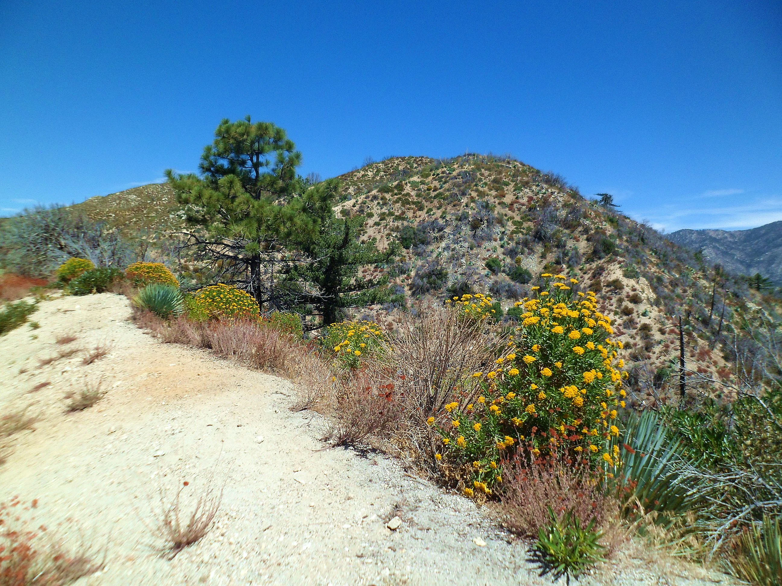
Angeles National Forest's standout qualities stem from its combination of scale, ecological diversity, and proximity to one of the largest urban populations in North America. It contains vast stretches of the San Gabriel Mountains, including summits above 10,000 feet, deep canyon systems, and five federally designated wilderness areas that preserve its most intact ecosystems.
The forest is also notable for its Mediterranean mountain vegetation, from chaparral and oak woodland to high-elevation conifer forest and old growth, and for its importance as habitat for both common and sensitive wildlife species. Culturally, it features landmark sites such as Mount Wilson Observatory, the historic Mount Lowe Railway ruins, and the St. Francis Dam Disaster National Memorial, making it a landscape where natural beauty, science, and human history converge.
Best time to visit Angeles National Forest
Angeles National Forest can be visited year-round, but the experience varies dramatically with elevation and season. Spring and early summer are particularly rewarding in the lower and middle elevations, when chaparral shrubs bloom, oaks leaf out, and streams run clearly before the long dry season.
Late spring through fall is generally the high season for hiking and camping in the forest, though summers can be intensely hot at lower elevations, especially in the inland canyons, while higher elevations remain cooler and more comfortable. Winter brings snow to the higher peaks, particularly around Mt. Baldy, where skiing, snowshoeing, and winter scenery are possible, and the same season can bring dramatic storm-driven landscapes and cascading rivers, though it can also coincide with road closures and wildfire-related restrictions depending on conditions.