
Mori Atlas logo
Park earthquake history

Review historical seismic records associated with the rugged terrain of the San Gabriel Mountains.

Angeles National Forest Earthquake History and Recorded Seismic Activity Catalogue

This collection provides a searchable catalogue of recorded seismic events associated by geographic proximity to the Angeles National Forest. Users can review historical records detailing event dates, magnitudes, and epicentre distances across the mountain terrain of the San Gabriel and Sierra Pelona ranges. The documentation relies on data mapped against regional boundaries to provide an accurate reflection of local seismic history for researchers and interested explorers.

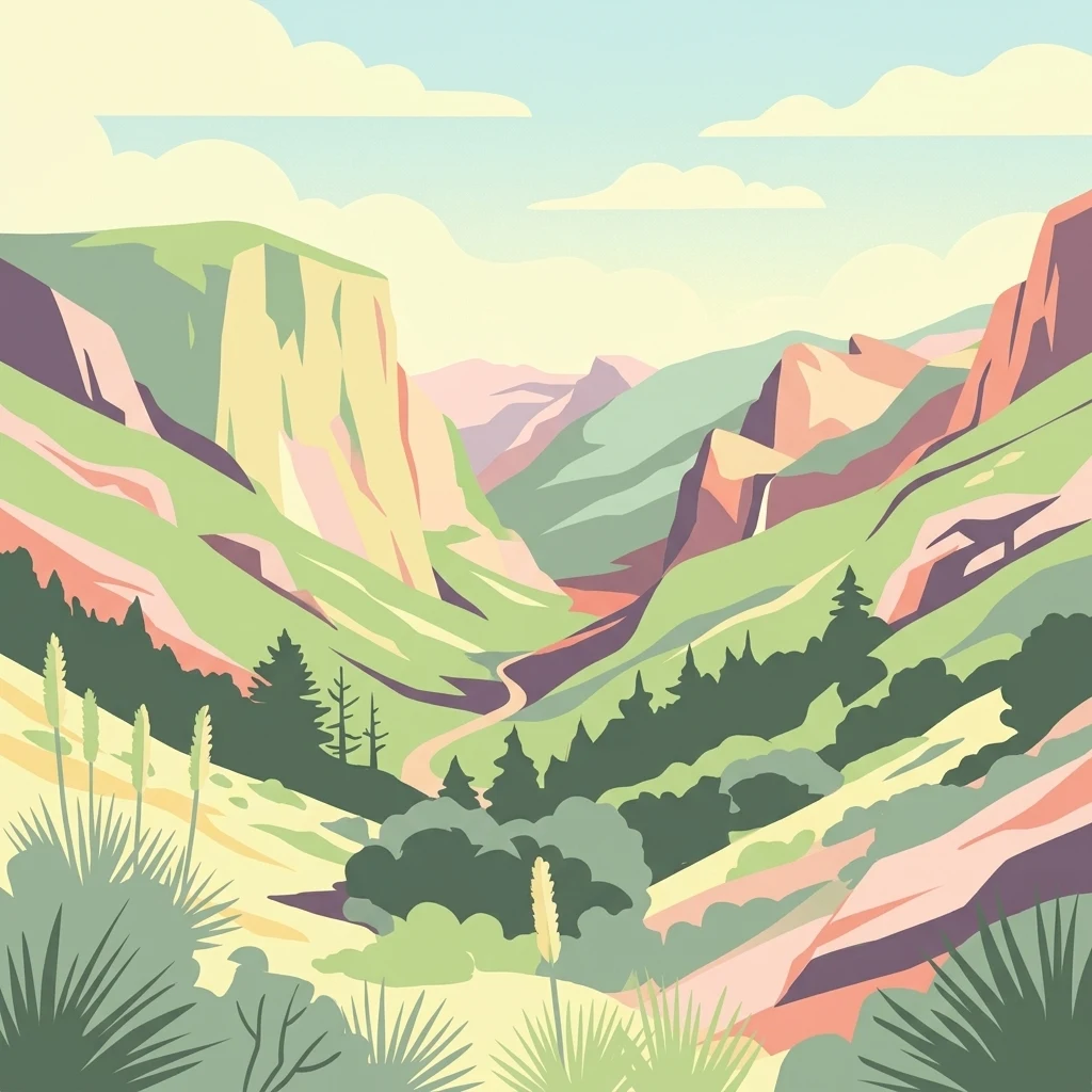
A stylized vector-style illustration of a deep mountain canyon with winding paths, pine trees, and yucca plants in the foreground under a light blue sky with clouds.

Southern California's vast mountain forest above Los Angeles, spanning the San Gabriel and Sierra Pelona ranges.

Angeles National Forest

Angeles National Forest is the largest and most heavily used national forest in California, draped across the rugged San Gabriel Mountains and Sierra Pelona Mountains directly north of the Los Angeles metropolitan area. Managed by the U.S. Forest Service, it protects a wide elevation band of Mediterranean-type mountain terrain, from chaparral slopes and oak woodlands up to pine and mixed conifer forests, and it encompasses much of the San Gabriel Mountains National Monument. The forest serves as a critical backyard wilderness for millions of Southern California residents, offering hiking, camping, fishing, and skiing within sight of one of America's largest cities. It also supplies vital watershed functions for downstream communities, with rivers such as the San Gabriel feeding aqueducts and reservoirs that supply urban water. Beyond recreation and water, the forest is an ecological bridge between coastal California ecosystems and the drier interior Mojave Desert, making it a key zone for chaparral and montane wildlife. With its deep Native American, Spanish mission, Mexican rancho, and American conservation history, Angeles National Forest is more than open space; it is a culturally layered landscape that has shaped Southern California's identity for well over a century.

Location
United States of America
Park type
Protected landscape
Established
1908
Area
2,652.3 km²
Highest point
3,068 m
Angeles National Forest Atlas

Review Angeles National Forest records by date, magnitude, depth, place, and distance

Explore the earthquake catalogue associated with Angeles National Forest

Historical earthquakes associated with Angeles National Forest are selected from reported epicentres and calculated distances to the protected land, rather than treated as a forecast or a list confined to its borders. Each record exposes its date, magnitude, depth, reported place, park-distance value, and source access for transparent geographic and chronological study.

Sort by
Magnitude
Location

This page describes catalogued earthquakes associated with the park by epicentre location and distance. It does not establish causation, assess current danger, or predict future earthquakes.

No earthquake records match the current filters

Park atlas

Move beyond the Angeles National Forest records into wider protected-area discovery

Find additional protected parks after Angeles National Forest

A separate selection of protected parks extends the atlas journey after the Angeles National Forest earthquake catalogue. The suggestions do not indicate shared earthquake activity, forest character, mountain landscapes, legal designations, geographic closeness, hazards, or the presence of equivalent seismic pages.
Watercolor painting of a mountain landscape with forested foothills and a valley in the foreground.
Protected landscapeCalifornia
Park boundaries overlap#1 closest

West

Los Padres National Forest: Geography and Protected Landscape Map of Central California

Extensive wilderness corridors and high mountain ridges

Spanning from the Big Sur coastline to the interior ranges of the Santa Lucia and San Rafael mountains, Los Padres National Forest represents a significant protected area in California. The region contains deep gorges, forest-covered canyons, and high-altitude pine ridges that provide essential habitat and support major river headwaters.

Area
7,700 km²
Established
1936
Relief
Mountain
Climate
Mediterranean
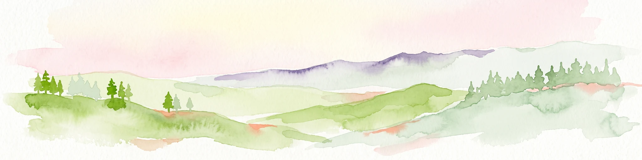
Watercolor painting of a mountain landscape with rolling green hills and small evergreen trees, with soft purple mountain silhouettes in the distance.
Protected landscapeCalifornia
Park boundaries overlap#2 closest

East

San Bernardino National Forest: Geography and Protected Landscape Atlas

Transverse and Peninsular mountain ranges in California

Spanning over 820,000 acres, San Bernardino National Forest offers a look at one of Southern California's most significant protected landscapes. The forest features seven wilderness areas and a dramatic range of elevation, moving from arid chaparral to old-growth mixed conifer forests. Our geographic mapping traces the unique structure of four intersecting mountain ranges, detailing the terrain from deep canyons to high alpine peaks.

Area
3,333.87 km²
Established
1907
Relief
Mountain
Climate
Mediterranean
A watercolor illustration of rolling green hills, a small shoreline, and patches of grass against a white background.
Protected landscapeCalifornia
16 km away#3 closest

Southwest

Santa Monica Mountains National Recreation Area: Protected Landscape and Regional Geography

Exploring the ecological and cultural tapestry of Southern California's coastal mountains.

Santa Monica Mountains National Recreation Area comprises a complex array of parks and preserves that protect the unique Mediterranean climate of Southern California. The terrain showcases rugged ridgelines, deeply carved canyons, and vital coastal habitats. As a significant urban protected area, it offers an essential look at how biodiversity, human history, and regional geography coexist within one of the most populated zones in the United States.

Area
638 km²
Established
1978
IUCN
V
Visitors
795.2K annual
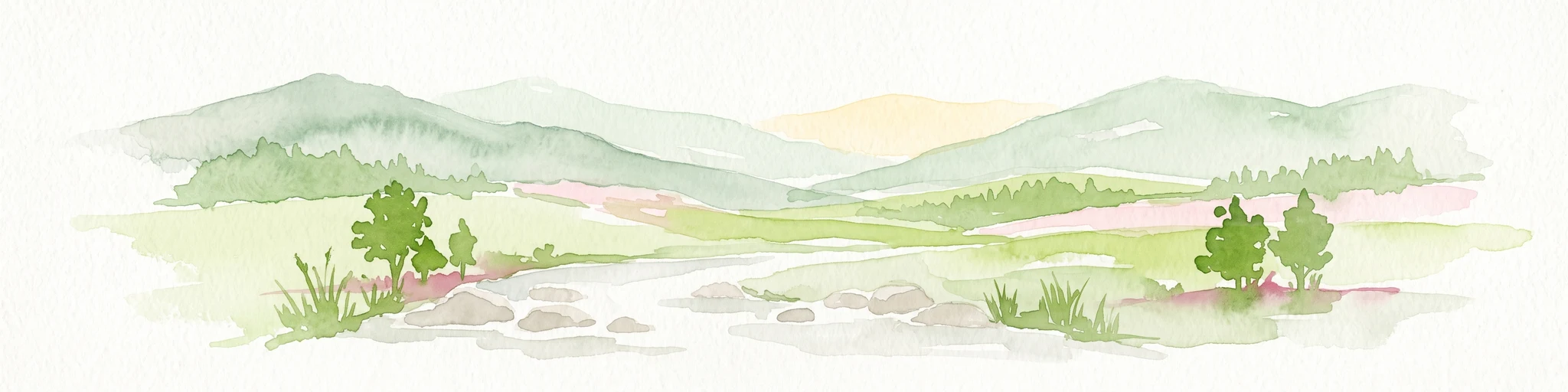
Watercolor painting of a mountain range with a winding stream, small trees, and grassy foreground on a white background.
Wildlife reserveCalifornia
About 33 km away#4 closest

Northwest

Matilija Wilderness: A High Elevation Protected Landscape in the Santa Ynez Mountains

Rugged canyon geography and critical California condor habitat

Spanning from deep canyon bottoms to the high rocky ridges of Monte Arido, Matilija Wilderness represents a significant protected unit within California. The area encompasses a dense network of riparian habitats along Matilija Creek, forming a vital ecological corridor for wildlife and preserving the rugged terrain of the southern Santa Ynez Mountains.

Area
118.2 km²
Established
1992
IUCN
Ib
Relief
Mountain
National parkCalifornia
59 km away#5 closest

West

Channel Islands National Park: A Protected Landscape within California's Geography

Explore its unique mapped terrain and protected area context.

Channel Islands National Park stands as a key protected area, providing critical insight into California's unique geographic features and natural landscapes. This entry focuses on the park's identity as a protected entity, detailing its mapped boundaries and the surrounding regional geography. It offers an atlas-level view, essential for understanding the park's contribution to the broader landscape context of the United States and its conservation importance.

Area
1,009.94 km²
Established
1980
IUCN
II
Visitors
323.2K annual
Marine protected areaCalifornia
70 km away#6 closest

West

Channel Islands National Marine Sanctuary Marine Protected Area Map and Atlas

Southern California marine habitat and island topography

Channel Islands National Marine Sanctuary protects 1,470 square miles of diverse marine environment near the California coast. This sanctuary guards vital kelp forests and deep seafloor ecosystems while preserving deep water archaeological sites and the biological legacy of the Northern Channel Islands.

Area
3,807 km²
Established
1980
IUCN
V
Relief
Lowland
Watercolor painting of a panoramic mountain landscape with stylized pine trees and soft green meadows.
Protected landscapeCalifornia
75 km away#7 closest

North

Sequoia National Forest: Protected Sierra Nevada Geography and Mountain Terrain

A vast protected landscape spanning 1.1 million acres in California

Spanning Tulare, Kern, and Fresno counties, Sequoia National Forest preserves iconic giant sequoia groves across multiple river watersheds. The terrain features vertical relief exceeding 11,000 feet, showcasing a range of ecosystems from chaparral slopes and coniferous forests to glacial cirques and granite spires located within the southern Sierra Nevada range.

Area
4,829.17 km²
Established
1908
Relief
Mountain
Climate
Mediterranean
Wildlife reserveKern County
96 km away#8 closest

North

Kiavah Wilderness: Geographic Overview of the Scodie Mountains Plateau

Protected desert wilderness in Kern County, California

Kiavah Wilderness provides a vital protected landscape in Kern County, defined by the Scodie Mountains and a dramatic escarpment above the Mojave Desert floor. Known for its rare pinyon-juniper woodlands and seasonal springs, this wilderness area preserves the complex geography linking the southern Sierra Nevada to the broader Mojave basin.

Area
357.3 km²
Established
1994
IUCN
Ib
Relief
Mountain
MoriAtlas Explorer

Explore the Detailed Geography and Protected Boundaries of Angeles National Forest

Delve into the mapped terrain and ecological framework of Angeles National Forest to understand its role as a premier protected area in California. MoriAtlas provides a structured view of the mountain corridors, wilderness zones, and hydrological features that characterize this sprawling urban-adjacent landscape.

Global natural geography