
Why Bafing Source stands out
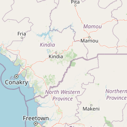
Bafing Source is best known for protecting the headwaters of the Bafing River and the broader wetland complex that feeds the Senegal River, one of West Africa's most important transboundary waterways. The site embodies the Fouta Djallon's role as a regional water tower, where rainfall and highland runoff feed multiple major river systems. Its Ramsar recognition highlights both the ecological value of the upland wetlands and their importance for downstream water security across Guinea, Mali, and Senegal.
Bafing Source history and protected-area timeline
The Bafing Source Ramsar site was formally established on 16 October 2007, when Guinea designated the area as a wetland of international importance under the Ramsar Convention. The designation responded to growing recognition of the Fouta Djallon's importance as a watershed for multiple West African river systems and the need to conserve the natural infrastructure that regulates those flows.
Since its designation, the site has been included in international conservation databases such as the World Database on Protected Areas, where it is recorded under entry number 903067. Its protection aligns with broader subregional initiatives led by the Organization for the Development of the Senegal River (OMVS), which coordinates cooperation among Guinea, Mali, Mauritania, and Senegal over the shared waters of the Senegal River basin.
Bafing Source landscape and geographic character
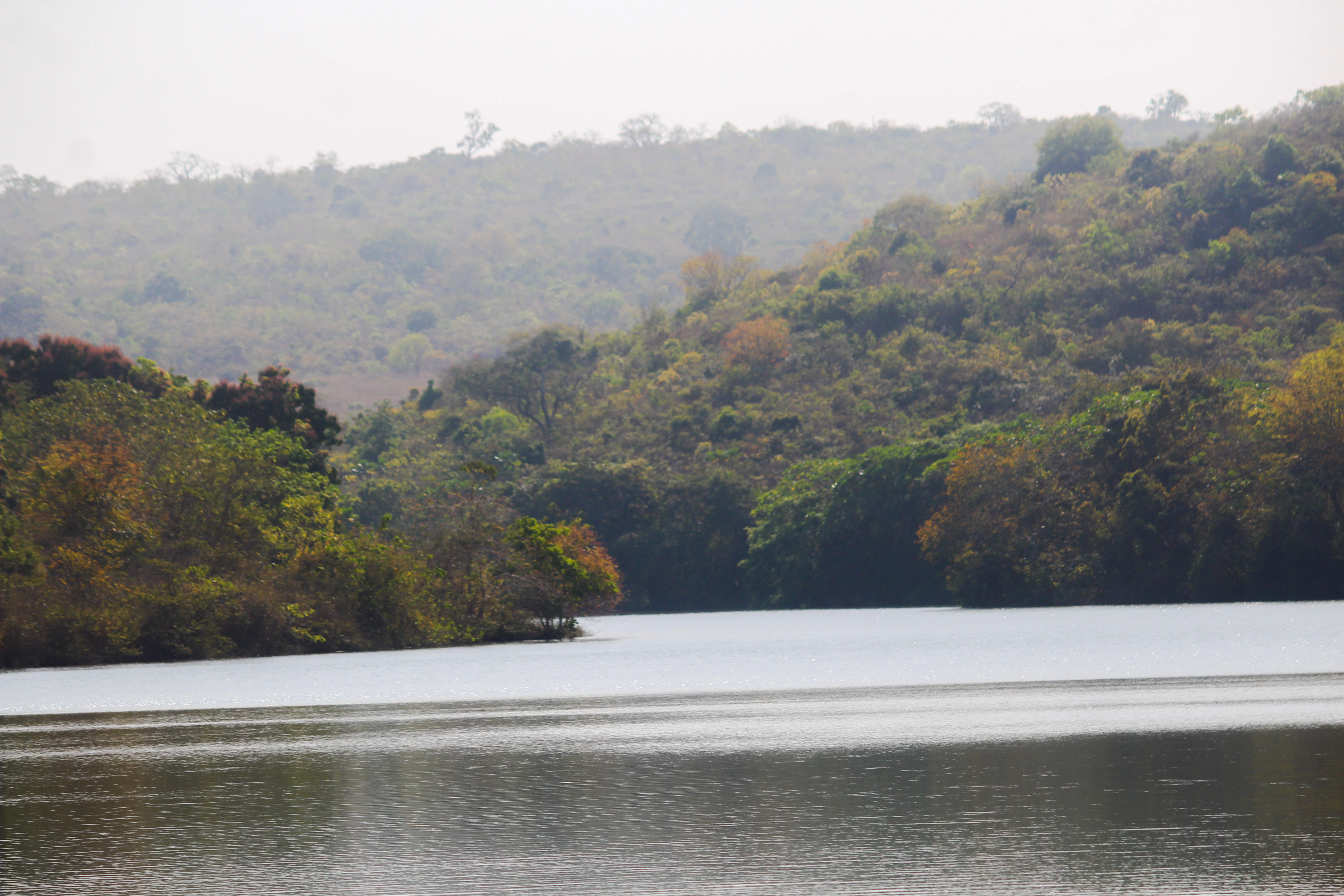
The Bafing Source site occupies part of the Fouta Djallon, a highland region in west-central Guinea known for its sandstone plateaus, deeply incised river valleys, and seasonal streams. The landscape is characterized by a mix of flat or gently rolling upland surfaces and the steeper valleys that rivers have carved into the plateau over time.
The plateau itself is famous across West Africa as a wet, misty highland relative to the surrounding lowlands, supporting a distinctive mosaic of savanna, gallery forest, wetlands, and permanent rivers. The headwater zone of the Bafing sits within this pattern, where local rainfall and slow drainage across the plateau feed the beginning of the river system. The terrain transitions gradually from open upland soils into denser vegetation along watercourses, and into the river channels that eventually converge downstream.
Bafing Source ecosystems, habitats, and plant life
The wetland environment at Bafing Source reflects the ecological character of the Fouta Djallon, combining savanna grasslands, gallery forests along watercourses, and highland wetlands that retain water through much of the wet season. This mosaic of habitats supports a wide range of aquatic and terrestrial species adapted to fluctuating seasonal moisture levels.
In the broader Fouta Djallon landscape, such wetlands provide habitat for numerous fish, amphibian, and waterbird species, and they help maintain the structural integrity of riverine plant communities along the headwater streams. The vegetation cover across the catchment also plays an important role in slowing runoff and maintaining the cool, shaded conditions of the upper river valleys that are typical of this part of Guinea.
Bafing Source wildlife and species highlights
The Bafing Source catchment supports the wildlife communities typical of the Fouta Djallon highlands, where wetland areas are interspersed with savanna and forest patches. These habitats are known to support fish populations in the upper Bafing, amphibians that depend on standing or slow-moving water, and a variety of waterbirds that use the seasonal wetlands during wetter periods.
Larger mammals present in Fouta Djallon landscapes of this type often include species such as duikers and other forest-edge ungulates, along with smaller carnivores and primates that use the transition zones between riverine forest and open savanna. The site's Ramsar status reflects its particular value for waterbirds and the broader aquatic food web that begins at these upper catchments.
Bafing Source conservation status and protection priorities
The conservation significance of Bafing Source lies in its role as the headwater of one of West Africa's longest and most important rivers. By protecting the wetlands and natural hydrology of the Bafing's source area, the site helps maintain water quality, regulate seasonal flow, and preserve ecological functions that benefit not only Guinea but also downstream countries along the Senegal River system.
The site was added to the Ramsar list of internationally important wetlands in 2007, placing it within a global network of recognized wetlands. Protection of the source waters is also supported by the Organization for the Development of the Senegal River (OMVS), which coordinates transboundary management of the shared river system and promotes cooperation among member states over water resources, environmental health, and ecological integrity.
Bafing Source cultural meaning and human context
The Fouta Djallon has long been home to communities whose livelihoods, traditions, and identity are closely tied to the rivers that emerge from the plateau. Local populations have historically engaged in agriculture, pastoralism, and small-scale fishing in the highland valleys, while also drawing on the rivers for domestic and ceremonial use.
The Bafing Source area reflects this broader relationship between people and water in the Fouta Djallon, where rivers and wetlands are not just ecological features but central elements of regional culture and economy. The site sits within a landscape whose management today connects traditional land use with modern conservation frameworks operating at national and subregional levels.
Top sights and standout views in Bafing Source
Bafing Source combines a very large Ramsar designation with the strategic headwaters of the Senegal River system, making it unusual in scale among West African wetland protections. It anchors the Fouta Djallon's role as a regional water tower, contributing flow to multiple major rivers across the subregion. The site's protection is reinforced by cross-border cooperation through the OMVS framework, linking local conservation to broader transboundary river management.
Best time to visit Bafing Source
The Fouta Djallon experiences a tropical highland climate with a pronounced wet season and a drier season. The wet season, generally spanning the northern hemisphere summer months, brings heavy rainfall, lush vegetation, swollen rivers, and dramatic waterfalls in the surrounding highlands; it is also the period when wetland habitats are most extensive and waterbirds tend to be most active. The dry season is cooler and dustier, with reduced river flow, easier ground access, and clearer views across the plateau landscape. Because Bafing Source is a wetland conservation designation rather than a conventional tourism park, any visit would typically be framed around regional exploration of the Fouta Djallon and would benefit most from the cooler, drier months when rural roads and trails are easier to traverse.