Mori Atlas logo
Nearby park discovery

Regional map analysis of protected lands surrounding this coastal Quebec sanctuary

Protected Areas and Geographic Landscapes near Refuge d'oiseaux migrateurs de Betchouane

Browse the geographic distribution of protected natural areas located in the vicinity of Refuge d'oiseaux migrateurs de Betchouane. This map-centered resource traces the surrounding regional landscape context, allowing for a structured comparison of nearby wildlife reserves and coastal habitats across the Minganie region.

Related tags

migratory bird sanctuaryseabird nestingCommon Eider habitatisland sanctuaryGulf of St. Lawrence

A small island sanctuary in the Gulf of St. Lawrence protecting vital seabird nesting habitat.

Betchouane Migratory Bird Sanctuary

The Betchouane Migratory Bird Sanctuary is a small protected area in eastern Quebec, Canada, located within the broader Mingan Archipelago National Park Reserve on the north shore of the Gulf of St. Lawrence. The sanctuary encompasses two islands, Île Innu and Île à Calculot des Betchouanes, along with surrounding marine waters, covering roughly 435 hectares in total. Its primary purpose is to safeguard one of the most important nesting sites for Common Eiders in the region, while also providing habitat for a range of other seabirds. As part of the larger national park reserve system and an identified Important Bird Area, the sanctuary plays a notable role in marine and island conservation along Quebec's Côte-Nord.

Location
Canada
Park type
Wildlife reserve
Established
1925
Area
4.4 km²
Refuge d'oiseaux migrateurs de Betchouane Wildlife Reserve
Regional park map

See the ranked park cluster in its geographic setting

Nearby parks around Betchouane Migratory Bird Sanctuary

This regional map shows the same 20 nearby parks ranked below around Betchouane Migratory Bird Sanctuary. Select a ranked marker to highlight that park’s boundary where boundary data is available.
Reference park: Betchouane Migratory Bird SanctuaryRanked nearby park20 nearby parks shown
20 nearby parks

Distance ranked collection and regional park geography for comparative environmental analysis

Parks and protected areas geographically near Refuge d'oiseaux migrateurs de Betchouane

Examine the distance ranked collection of parks and protected areas located geographically near Refuge d'oiseaux migrateurs de Betchouane to evaluate regional distribution patterns. Compare recorded environmental characteristics and geographic separation signals across surrounding protected landscapes to understand broader conservation contexts.
National parkMinganie Regional County Municipality
Mapped location lies within the park boundary#1 closest

Northeast

Mingan Archipelago National Park Reserve: Mapped Protected Landscape

Discover its national park geography in Minganie

Mingan Archipelago National Park Reserve is a designated national park offering a distinct protected landscape within the Minganie Regional County Municipality. This entry provides core geographic context and mapped details crucial for atlas exploration. Understand the park's boundaries and its regional landscape setting for comprehensive discovery of Canada's protected natural areas.

Area
151 km²
Established
1984
IUCN
II
Visitors
44K annual
National parkQuebec
About 160 km away#2 closest

Southwest

Forillon National Park: Quebec National Park Protected Landscape and Geography

Explore mapped park boundaries and regional terrain.

Forillon National Park represents a crucial component of Quebec's protected lands, offering a rich subject for geographic discovery and atlas exploration. This national park's specific landscape characteristics and mapped boundaries provide essential context for understanding its role within the wider regional geography of Canada. Dive into the mapped terrain and protected area details that make Forillon National Park a unique element in any natural landscape atlas.

Area
244 km²
Established
1970
IUCN
II
Visitors
164.1K annual
Wildlife reserveQuebec
About 206 km away#3 closest

East

Refuge d'oiseaux migrateurs de la Baie-des-Loups Protected Area and Coastal Map

Marine-focused wildlife reserve on the Quebec coast

This wildlife reserve protects essential island and offshore foraging grounds in the Gulf of St. Lawrence. Its geography highlights the intersection of protected land and marine environments, creating a critical habitat for North Atlantic seabird populations along the Quebec lower North Shore.

Area
38.72 km²
Established
1925
IUCN
Ia
A wide watercolor illustration showing a landscape with green coniferous trees, tall grasses in the foreground, and soft rolling dunes in pastel pink and yellow hues in the background.
Wildlife reserveQuebec
About 316 km away#4 closest

Southeast

Réserve nationale de faune de la pointe de l'Est: Quebec Coastal Wildlife Reserve Atlas

A mapped complex of parabolic dunes, lagoons, and migratory bird habitats

Located on the Magdalen Islands, Réserve nationale de faune de la pointe de l'Est safeguards an exceptional coastal landscape defined by wind-shaped barrier spits and extensive sand dunes. This protected area offers critical insight into the geography of the Gulf of Saint Lawrence, protecting diverse habitats ranging from salt marshes to rare parabolic dune formations and freshwater wetlands.

Area
7.2 km²
Established
1978
IUCN
III
Relief
Lowland
Wildlife reserveNew Brunswick
About 364 km away#5 closest

Southwest

Île-du-Portage National Wildlife Area: Geographic Overview and Protected Island Mapping

A vital estuarine reserve on the New Brunswick coast

Study the coastal terrain of Île-du-Portage National Wildlife Area, an uninhabited island reserve situated at the junction of the Miramichi River and the Northumberland Strait. This overview focuses on the island's role as one of five National Wildlife Areas in New Brunswick, highlighting its significance within the broader estuarine geography and coastal maritime history of the Atlantic region.

Area
3.49 km²
Established
1979
IUCN
Ia
Relief
Lowland
National parkCanada
About 373 km away#6 closest

East

Gros Morne National Park: A Canadian National Park for Geographic Exploration

Discover its mapped protected boundaries and regional landscape context.

Explore Gros Morne National Park, a designated National Park within Canada, offering deep insights into its protected landscape and geographic significance. This page details its mapped boundaries and natural terrain, providing essential context for understanding its role within Canada's broader atlas of protected areas. Engage with the specific geography of this park to deepen your knowledge of natural landscapes and conservation.

Area
1,805 km²
Established
2005
IUCN
II
Relief
Mountain
National parkNew Brunswick
About 380 km away#7 closest

South

Kouchibouguac National Park: New Brunswick Protected Landscape Atlas

Mapped protected area boundaries and regional geography.

Kouchibouguac National Park is a designated national park offering a rich canvas for geographic discovery. This entry focuses on understanding its protected landscape, detailing its specific mapped boundaries within New Brunswick. It serves as a vital component for atlas exploration, providing the context needed to grasp the park's natural terrain and its significance within the regional geography.

Area
238 km²
Established
1969
IUCN
II
Visitors
243.5K annual
National parkPrince Edward Island
About 397 km away#8 closest

South

Pituamkek National Park Reserve: Prince Edward Island National Park Atlas Exploration

Mapped protected area and regional geographic context.

Pituamkek National Park Reserve offers a unique opportunity for atlas-driven discovery, focusing on its protected status as a national park on Prince Edward Island. The page details the park's geographic setting and its role within the broader landscape context of Canada. Explore its specific mapped boundaries and understand its contribution to the network of protected natural areas, providing essential data for geographic research and landscape analysis.

Area
30 km²
Established
2024
IUCN
II
Relief
Lowland
Wildlife reserveFrance
About 401 km away#9 closest

Southeast

Réserve nationale de faune de l'Île-Saint-Paul Wildlife Reserve and Regional Geography

Mapping the protected landscapes of France

The Réserve nationale de faune de l'Île-Saint-Paul provides a focused look at isolated terrain and coastal environmental protection. As a designated wildlife reserve in France, it offers a distinct opportunity to study boundary-driven conservation and regional geography through a mapping perspective that highlights its remote natural character.

Established
2025
Relief
Lowland
Climate
Temperate
Access
Access unknown
National parkPrince Edward Island
About 411 km away#10 closest

South

Prince Edward Island National Park: A Mapped Protected Landscape within Canada's Maritime Region

Discover its geographic context and natural terrain.

Prince Edward Island National Park offers a distinct protected area for exploration within the Canadian Maritimes. As a national park, it represents a commitment to preserving specific natural landscapes and their geographic characteristics. This resource provides insight into its mapped boundaries, regional setting on Prince Edward Island, and its contribution to the broader atlas of protected lands.

Area
27 km²
Established
1937
IUCN
II
Relief
Lowland
National parkNova Scotia
About 414 km away#11 closest

Southeast

Cape Breton Highlands National Park: Mapped Protected Landscape in Nova Scotia

Discover its national park geography and natural terrain.

Uncover the protected landscape identity of Cape Breton Highlands National Park, a national park situated in Nova Scotia. This atlas-focused content details its mapped boundaries, regional geographic context, and natural terrain. It serves as a definitive resource for understanding the park's protected-area status and its contribution to the mapped natural landscapes of the region.

Area
949 km²
Established
1936
IUCN
II
Visitors
277.2K annual
National parkNewfoundland and Labrador
About 418 km away#12 closest

Northeast

Mealy Mountains National Park Reserve: National Park Protected Landscape and Map Boundaries

Explore the geography and natural terrain of Newfoundland and Labrador.

Mealy Mountains National Park Reserve represents a key protected landscape within Newfoundland and Labrador, offering detailed insights for atlas-based discovery. This national park's geographic scope and mapped boundaries are crucial for understanding its regional context and natural terrain. Explore the structured facts and landscape characteristics that define this significant protected area, providing a clear view of its protected-land identity.

Area
10,700 km²
Established
2015
IUCN
II
Relief
Mountain
Wildlife reserveQuebec
About 443 km away#13 closest

East

Baie-de-Brador Migratory Bird Sanctuary: Mapped Geography and Protected Landscapes

A remote wildlife reserve in the Gulf of St. Lawrence.

Located near the Lower North Shore of Quebec, this protected area spans both land and sea to preserve critical colonial seabird habitats. The site features the rocky islands of Île aux Perroquets and Île Greenly, set within a marine buffer zone that reflects the cold, subarctic character of the Atlantic corridor.

Area
5.59 km²
Established
1925
IUCN
Ia
Wildlife reserveNova Scotia
About 450 km away#14 closest

South

Sea Wolf Island National Wildlife Area: Protected Sandstone Cliffs and Seabird Sanctuary

Coastal maritime geography and nesting habitats in Nova Scotia

Sea Wolf Island National Wildlife Area constitutes a remote sandstone sanctuary in the Gulf of St. Lawrence. Characterized by steep, eroded cliff faces and isolated terrain, this Canadian protected area remains a significant site for colonial seabird nesting, specifically supporting populations of Great Cormorants and Razorbills within the Atlantic marine ecosystem.

Area
0.76 km²
Established
1982
IUCN
Ia
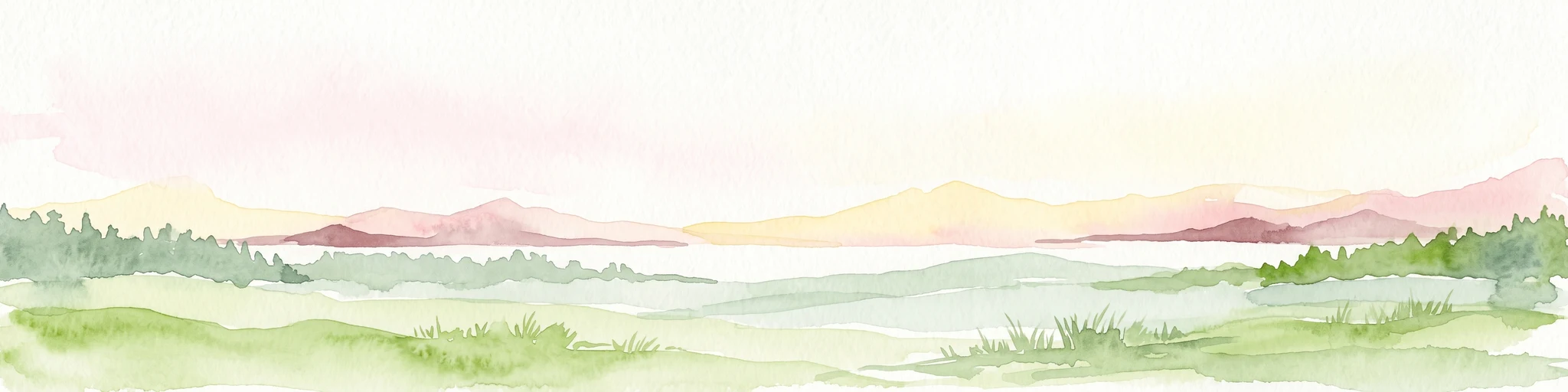
A horizontal watercolor painting showing a pale green and soft pink landscape with distant hills, a calm body of water, and a tree-lined shore.
Wildlife reserveNew Brunswick
About 452 km away#15 closest

South

Réserve nationale de faune du Cap-Jourimain: Protected Coastal Wetlands and Wildlife Maps

Essential geographic context for a strategic New Brunswick wildlife reserve

Examine the mapped boundaries and complex ecosystem transitions of Réserve nationale de faune du Cap-Jourimain. This federally protected area in New Brunswick offers a distinct look at coastal marshlands, tidal flats, and island topography situated at the narrowest point of the Northumberland Strait.

Area
6.617 km²
Established
1980
IUCN
IV
Relief
Lowland
Watercolor painting of a tranquil marshy wetland with calm water, sparse dead trees, and distant hills under a light, hazy sky.
Wildlife reserveNova Scotia
About 496 km away#16 closest

South

Amherst Point Migratory Bird Sanctuary: Wetland Protected Landscape and Map Explorer

Nova Scotia Wildlife Reserve and Managed Marshland Habitat

Amherst Point Migratory Bird Sanctuary protects a significant freshwater marsh and ponded wetland network in Nova Scotia. This reserve is defined by its engineered diked impoundments and role as a crucial stopover for migratory birds in the Atlantic flyway, offering a clear window into managed wetland conservation and coastal marsh terrain.

Area
4.33 km²
Established
1947
IUCN
IV
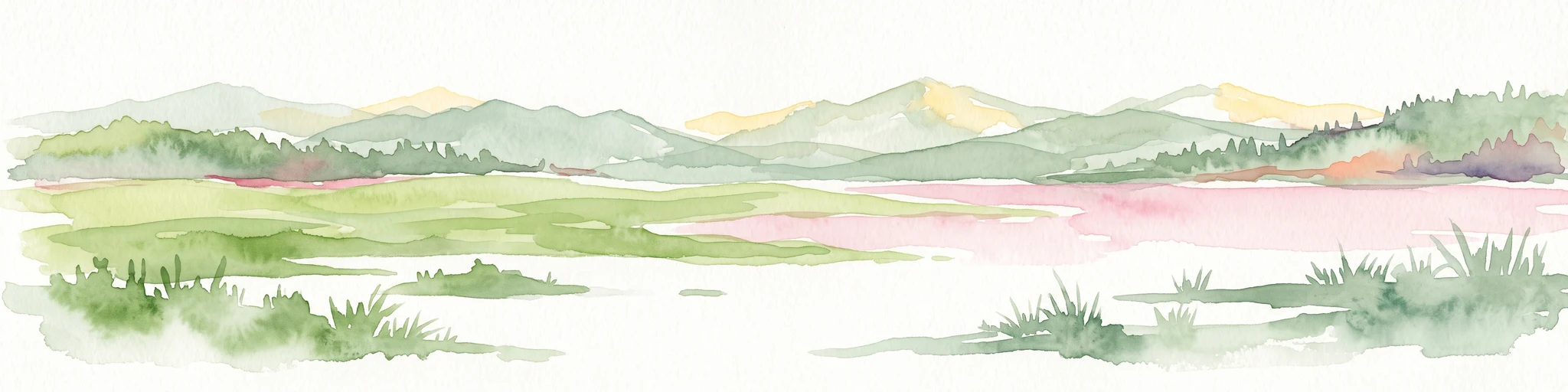
A pale, soft watercolor landscape painting showing a marshy coastline with low hills in the distance, rendered in muted greens, pinks, and purples on a white background.
Wildlife reserveBas-Saint-Laurent
About 509 km away#17 closest

Southwest

Réserve nationale de faune de la baie de l'Isle-Verte: Bas-Saint-Laurent Protected Wildlife Area

Coastal salt marsh geography and waterfowl conservation sanctuary

Situated along the St. Lawrence Estuary, this wildlife reserve safeguards a rare and expansive tidal marsh environment. The area provides essential habitat for large migratory bird populations, serving as a landmark site for waterfowl conservation within the regional landscape of Bas-Saint-Laurent.

Area
3.2 km²
Established
1980
IUCN
IV
Relief
Lowland
Wildlife reserveQuebec
About 510 km away#18 closest

Southwest

Zugvogelschutzgebiet L’Isle-Verte Wildlife Reserve: Coastal Marsh and St. Lawrence Estuary Geography

Protected wetland boundaries and estuarine landscape in Quebec, Canada

Discover the geographic layout of Zugvogelschutzgebiet L’Isle-Verte, a specialized wildlife reserve in Quebec. This protected area centers on a productive tidal marsh system along the St. Lawrence Estuary, serving as an internationally recognized site for migratory waterfowl and shorebirds. The map-focused overview highlights the unique coastal terrain and the ecological significance of this narrow but vital strip of protected land.

Area
3.76 km²
Established
1986
IUCN
IV
Relief
Lowland
Wildlife reserveNova Scotia
About 510 km away#19 closest

Southeast

Réserve nationale de faune du Lac-Big Glace Bay: Coastal Geography and Protected Land Map

Wildlife reserve and coastal sanctuary in Nova Scotia

This protected area centers on a brackish coastal lagoon and a dynamic barrier beach system on the Atlantic coast of Nova Scotia. The reserve provides a critical migratory stopover for waterfowl, with terrain that transitions from exposed sandy shores to regenerated coastal forests on reclaimed land, offering a unique example of maritime ecological restoration.

Area
3.9 km²
Established
2022
IUCN
IV
Relief
Lowland
Watercolor painting of a coastal landscape with green marshlands in the foreground, water, and soft, warm-toned rolling hills in the background.
Wildlife reserveNew Brunswick
About 513 km away#20 closest

South

Réserve nationale de faune de Shepody: Geographic Overview of a New Brunswick Wildlife Reserve

Coastal wetlands and protected intertidal geography

Located along the Bay of Fundy, Réserve nationale de faune de Shepody represents an essential network of salt marshes and freshwater habitats. This mapping analysis traces the intersection of tidal dynamics, riverine estuaries, and ancient sandstone formations that define this critical protected area in New Brunswick.

Area
10.69 km²
Established
1980
IUCN
IV
Relief
Lowland
Distance methodology

Geographic measurements, not driving distances

How nearby park distances are calculated

Distances use park boundaries whenever the available geometry allows it. When one or both boundaries are missing, the mapped park locations provide a clearly labelled estimate. Every value represents straight-line geographic separation and does not use roads or routing.

Boundary distance

Calculated between the nearest points of both park boundaries.

Location-to-boundary estimate

Estimated from one mapped park location to the nearest boundary of the other park.

Mapped-location estimate

Estimated between the mapped locations of both parks.

MoriAtlas Explorer

Continue Exploring the Protected Landscapes of Refuge d'oiseaux migrateurs de Betchouane

Examine the detailed geographic boundaries and marine-coastal terrain of this essential wildlife reserve. The MoriAtlas provides a structured look at the island habitats and protected waters of the Refuge d'oiseaux migrateurs de Betchouane, connecting users to the broader regional geography of Quebec.