Mori Atlas logo
Nearby park discovery

Geographic distribution of nearby reserves and regional habitat corridors

Protected Areas and Surrounding Natural Landscapes Near Christenberger Talgrund, Hesse

Examine the geographic distribution of protected natural areas situated within the vicinity of the Christenberger Talgrund nature reserve. This spatial overview details the arrangement of surrounding valley ecosystems, forested upland reaches, and protected moorland habitats in the Burgwald forest region of Hesse.

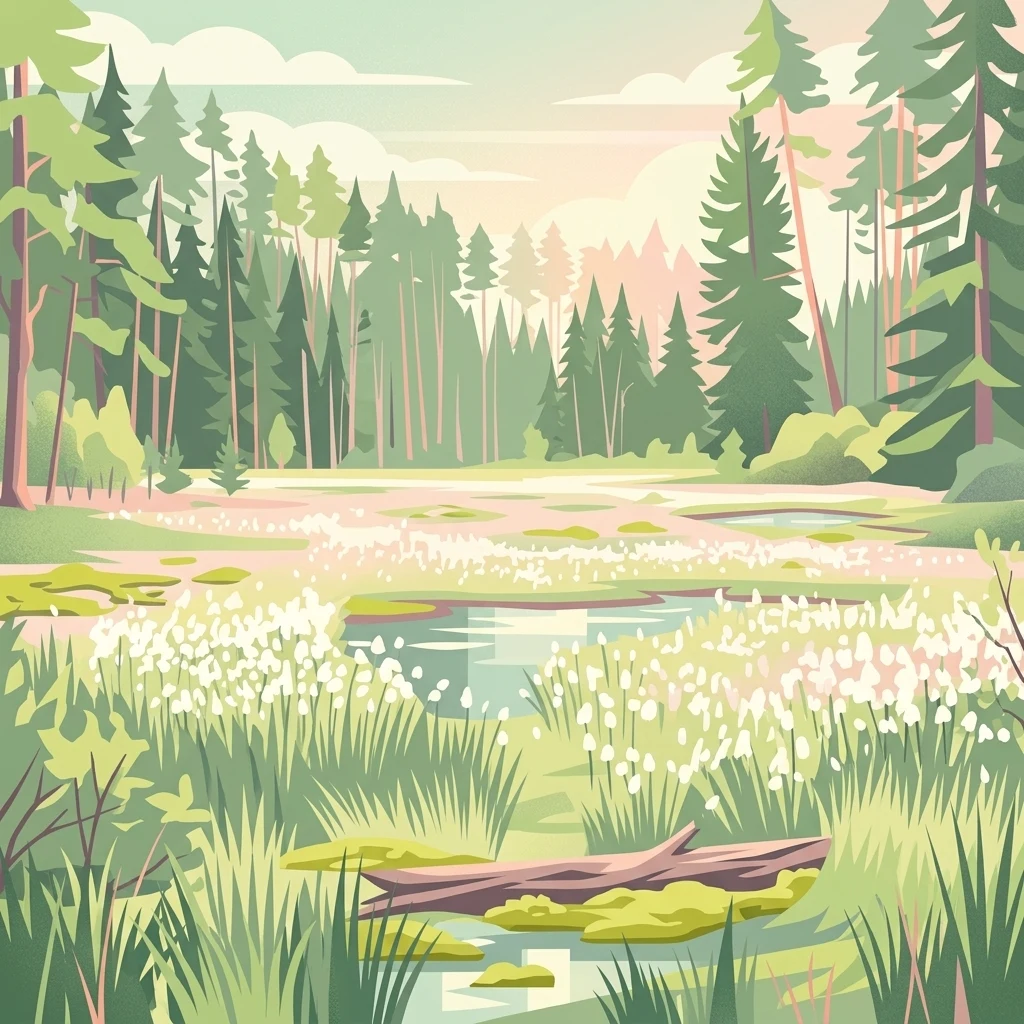
A flat-style digital illustration depicting a wetland or valley moor scene surrounded by a coniferous forest, with a fallen log in the foreground and white flowering vegetation near small pools of water.

A protected valley moor and damp deciduous forest on the western edge of the Burgwald in central Hesse.

Christenberger Talgrund

Christenberger Talgrund is a small nature reserve in the Marburg-Biedenkopf district of Hesse, Germany, located at the western edge of the Burgwald forest range near the town of Wetter (Hessen). It protects a narrow valley floor shaped by the Rodenbach stream, along with the surrounding damp slopes and woodland that connect the forested Burgwald to the open Wetschaft depression further west. The reserve's defining feature is its cool, humid local microclimate, which has preserved a near-natural valley peatland despite repeated historical attempts to drain it. Within this setting, threatened deciduous forest communities coexist with transitional bog vegetation, including brown sedge stands and a notable cover of Sphagnum mosses. Christenberger Talgrund has been protected as a Naturschutzgebiet since 1987 and has been almost completely overlapping with a Natura 2000 (FFH) site since 2008, reflecting its recognized importance for habitat conservation in central Germany.

Location
Germany
Park type
Nature reserve
Established
1987
Area
1.2 km²
Christenberger Talgrund Nature Reserve
Regional park map

See the ranked park cluster in its geographic setting

Nearby parks around Christenberger Talgrund

This regional map shows the same 20 nearby parks ranked below around Christenberger Talgrund. Select a ranked marker to highlight that park’s boundary where boundary data is available.
Reference park: Christenberger TalgrundRanked nearby parkSelected boundary: Christenberger Talgrund20 nearby parks shown
20 nearby parks

Distance-ranked collection of surrounding reserves and regional conservation landscapes

Parks and Protected Areas Geographically Near Christenberger Talgrund

Linear geographic separation metrics rank surrounding protected areas by direct proximity to the central valley boundaries of Christenberger Talgrund. Evaluating recorded environmental characteristics alongside country context reveals broader protected landscape patterns across the surrounding region.
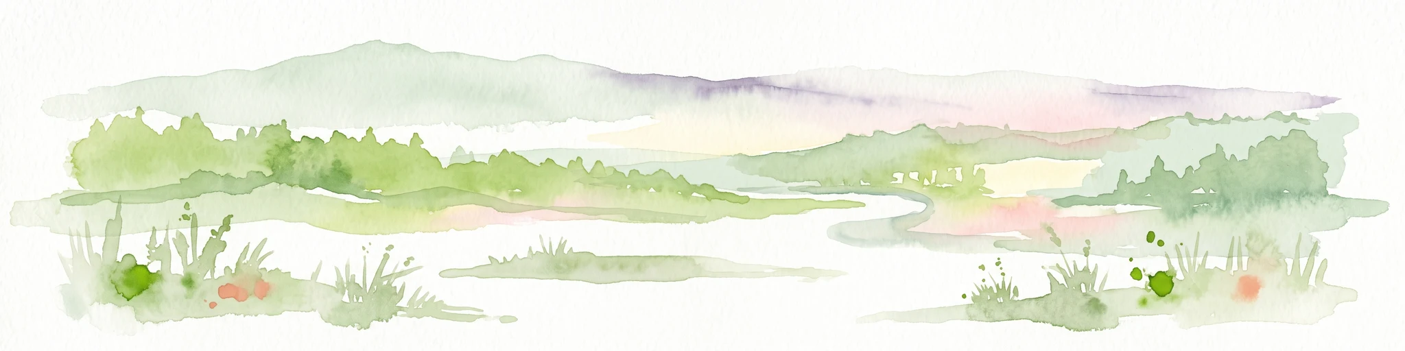
Watercolor illustration depicting a serene wetland landscape with a small forest patch on the left, grassy marshland in the center, and a pink-toned shoreline on the right.
Nature reserveHessen
About 3.4 km away#1 closest

East

Franzosenwiesen/Rotes Wasser: Protected Nature Reserve and Lowland Stream Geography

Hessen regional conservation and Burgwald foothills terrain

The Franzosenwiesen/Rotes Wasser reserve offers a window into the lowland stream geography of central Germany. This site preserves a vital corridor of wet meadows and riparian habitat along the Rotes Wasser brook, serving as a key example of the conservation landscapes found within the rolling foothills of the Burgwald region in Hessen.

Area
0.898 km²
Established
1987
Relief
Lowland
Climate
Temperate
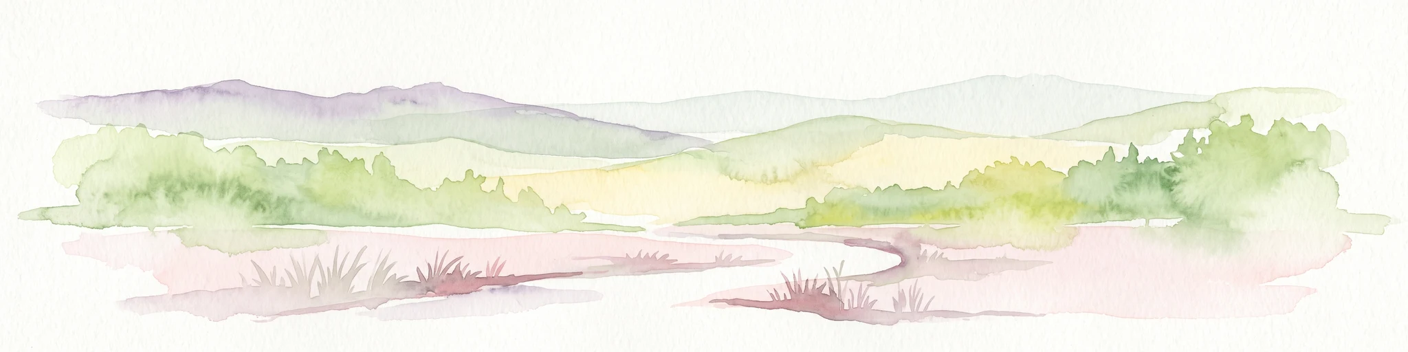
A watercolor painting depicting a soft-focus landscape with rolling green hills in the distance, a grassy foreground, and a single bare-branched tree on the right side.
Nature reserveHessen
About 7.6 km away#2 closest

East

Merzhäuser Teiche Nature Reserve: Geographic Atlas and Protected Landscape Overview

A dense wetland mosaic in the Burgwald region of Hessen.

Merzhäuser Teiche is a compact nature reserve situated on the edge of the Burgwald, Hesse's largest contiguous forest. Centered on three small ponds linked by the Kimmelbach, the area protects a transition zone of alder swamp, wet meadows, and nutrient-poor grassland. This site serves as a crucial habitat for waterbirds, amphibians, and rare butterflies within a characteristic central German landscape.

Area
0.201 km²
Established
1990
IUCN
IV
Relief
Lowland
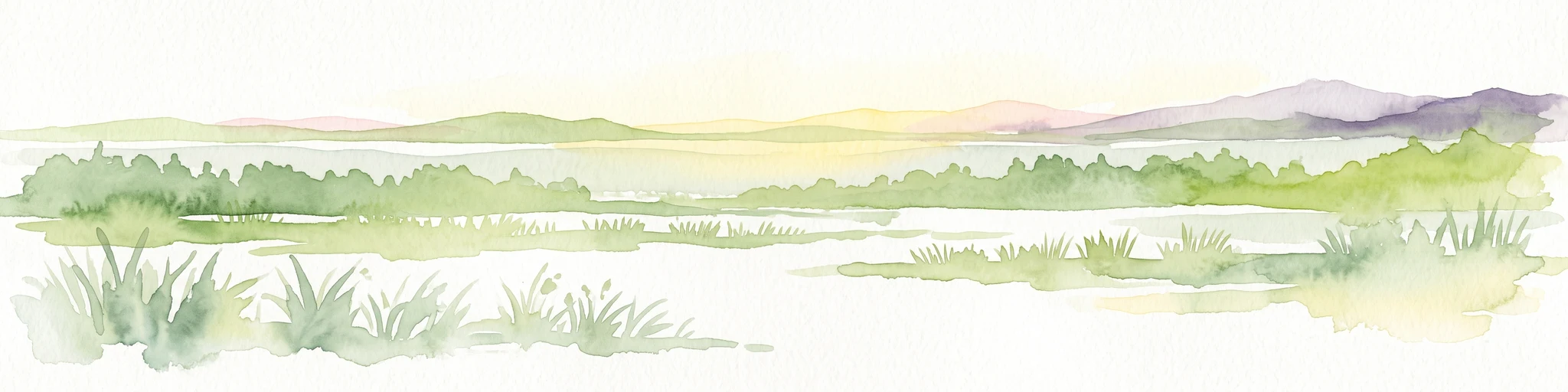
Watercolor painting of a tranquil wetland scene with grassy banks, small pools of water, and rolling hills in the background.
Nature reserveHessen
16 km away#3 closest

South

Kleine Lummersbach bei Cyriaxweimar Protected Nature Reserve and Hessian Landscape Geography

A diverse forest and grassland habitat within the Marburg-Biedenkopf district

Kleine Lummersbach bei Cyriaxweimar offers an exceptional case study in protected area geography. Formed by a blend of mature oak and beech forests, nutrient-poor meadows, and seasonal ponds, the reserve provides a critical refuge for protected amphibians and bats. Its varied terrain, spanning from dense woodland to open, grazed clearings, makes it a vital site for biodiversity conservation in central Germany.

Area
1.383 km²
Established
1997
IUCN
IV
Relief
Upland
A soft watercolor painting showing layered, gentle green hills and rolling terrain against a light, pale sky.
Nature reserveHessen
18 km away#4 closest

East

Kalkkuppen bei Winterscheid: Protected Geological Landscapes in the Gilserberg Heights

A detailed atlas view of this Hessen nature reserve

This nature reserve in the Schwalm-Eder-Kreis district protects four distinctive limestone hills built from Lower Muschelkalk. These outcrops stand as a geological anomaly within a region otherwise dominated by sandstone. The site serves as a vital component of the European Habitats Directive, offering a rare opportunity to study calcareous vegetation patterns and structural geology within the rolling terrain of northern Hesse.

Area
0.429 km²
Established
1986
IUCN
IV
Watercolor painting showing a landscape with hills, forest, and a body of water
National parkHesse
20 km away#5 closest

Northeast

Kellerwald-Edersee National Park: Hesse's Protected Landscape Exploration

Mapped boundaries and geographic context for this German national park.

Navigate the protected landscape of Kellerwald-Edersee National Park, a key national park situated in the German state of Hesse. This atlas entry focuses on its precise geographic definition, mapped terrain features, and the broader regional context it occupies within central Germany. Gain structured insights into the park's conservation significance and its place in the mapped landscape.

Area
76.88 km²
Established
2004
IUCN
II
Relief
Highland
A watercolor painting showing a soft, green, rolling valley with a stream and yellow wildflowers in the foreground against a light, distant hilly horizon.
Nature reserveNorth Rhine-Westphalia
About 22 km away#6 closest

North

Naturschutzgebiet Ölfetal: Mapped Boundaries and Grassland Ecosystems in the Sauerland

A regional protected nature reserve near Medebach

Naturschutzgebiet Ölfetal offers a detailed look into the meadow-and-stream ecology of the Sauerland uplands. Stretching along the Ölfe river, the reserve features a complex mosaic of wet and dry meadow habitats that support specific plant species and local grassland bird populations. Its protected status maintains a vital stream corridor that bridges agricultural zones and broader ecological networks within eastern North Rhine-Westphalia.

Area
0.124 km²
Established
2003
Relief
Lowland
Scope
Terrestrial
Watercolor painting of green rolling hills and a calm, pale water surface under a soft, light-colored sky.
Protected landscapeHessen
About 23 km away#7 closest

Northeast

Naturpark Kellerwald-Edersee: Protected Landscape Geography and Map Context

Mapping the forest ridges and reservoir shores of northern Hessen

Examine the geographic foundation of Naturpark Kellerwald-Edersee, a sprawling protected area in northern Hessen. The landscape is characterized by its expansive ancient beech forests, deep valleys, and the Edersee reservoir. This entry provides a detailed look at the park's low mountain terrain, elevation ranges, and the ecological connectivity between its wooded ridges and surrounding river systems.

Area
595.25 km²
Established
2001
Relief
Mountain
Climate
Temperate
A horizontal watercolor painting depicting a soft-focus landscape of low green hills, wooded areas, and open fields under a pale sky.
Protected landscapeHessen
About 24 km away#8 closest

Southwest

Naturpark Lahn-Dill-Bergland: Protected Area Mapping and Geographic Landscape Overview

Regional Mittelgebirge terrain in the heart of Hessen

Naturpark Lahn-Dill-Bergland serves as a core protected landscape in western Hessen, spanning the districts of Marburg-Biedenkopf and Lahn-Dill-Kreis. This atlas entry details the park's topography, including the Bottenhorner Hochflächen and the expansive forest masses of the Schelder Wald, providing a clear geographic context for its layered ridges and scenic river valley systems.

Area
830.9 km²
Established
2007
Relief
Mountain
Climate
Temperate
Nature reserveHessen
About 24 km away#9 closest

Southeast

Saurasen bei Schweinsberg Nature Reserve: Protected Geography and Floodplain Landscape

Ohm River basin protected area in central Hessen

Saurasen bei Schweinsberg is a compact, habitat-rich nature reserve located in the Ohm River lowland. The protected area features a unique hydrological mosaic of alder-ash woodland, sedge fens, and wet grasslands, serving as a sanctuary for diverse migratory birds and the threatened European tree frog. This site offers deep insights into the intersection of active river dynamics and traditional cultural landscapes in central Hessen.

Area
0.136 km²
Established
1985
Relief
Lowland
Climate
Temperate
A watercolor painting of a gentle river valley with soft green hills, wildflowers in the foreground, and a wooden fence line.
Nature reserveNorth Rhine-Westphalia
About 25 km away#10 closest

North

Naturschutzgebiet Orketal Nature Reserve: Protected Brook Valley and Floodplain Geography

Regional conservation landmark in North Rhine-Westphalia, Germany.

Naturschutzgebiet Orketal protects a continuous stretch of the Orke brook, featuring a rich assembly of floodplain meadows and nutrient-poor grassland habitats. Documented for its role in maintaining healthy freshwater ecosystems and supporting breeding populations of kingfishers and grey wagtails, the reserve forms a critical link in the broader Medebacher Bucht ecological network.

Area
1.98 km²
Established
1999
Climate
Temperate
Scope
Terrestrial
Nature reserveNorth Rhine-Westphalia
About 26 km away#11 closest

Northwest

Naturschutzgebiet Ahretalsystem: Mapped Protected Brook Valley and Low Mountain Landscape

Ecological terrain analysis of the Sauerland uplands

Naturschutzgebiet Ahretalsystem protects a refined valley system in the Rothaargebirge, showcasing the intricate interplay between near-natural stream courses and traditional mountain pastures. This reserve serves as a key site for montane brook conservation, hosting significant botanical populations within its mosaic of wet meadows and dry slope grasslands across the Winterberg landscape.

Area
0.358 km²
Established
2008
Relief
Mountain
Climate
Temperate
A watercolor painting of soft, green rolling hills and clusters of trees set against a pale, light-washed sky on a white background.
Nature reserveHesse
About 27 km away#12 closest

East

Biedenbacher Teiche bei Florshain Nature Reserve, Hesse Protected Wetland Geography

A rare refuge of stream-fed ponds and meadows in northern Hesse

The Biedenbacher Teiche bei Florshain nature reserve protects a dense concentration of wetland microhabitats along the Biedenbach stream. Spanning ponds, sedge beds, and floodplain woodlands, this site offers a look into the vital ecological character of the Schwalm-Eder region. It remains an essential, undisturbed archive of local wetland flora and fauna within the larger, intensively cultivated Hessian agricultural landscape.

Area
0.035 km²
Established
1983
Relief
Lowland
Climate
Temperate
Nature reserveNorth Rhine-Westphalia
About 29 km away#13 closest

Northwest

Naturschutzgebiet Odeborn-Talsystem: Protected Valley and Meadow Geography

Nature reserve terrain in the Rothaar Mountains of North Rhine-Westphalia.

Naturschutzgebiet Odeborn-Talsystem protects a vital valley system featuring traditionally managed mountain grasslands and the winding course of the Odeborn stream. This nature reserve provides essential habitat connectivity within the broader North Rhine-Westphalia region, representing a unique intersection of stream, forest, and open-field topography managed for conservation.

Area
0.575 km²
Established
2008
IUCN
IV
Relief
Upland
A horizontal watercolor painting depicting a soft green landscape with rolling hills, a meandering stream, and light vegetation.
Nature reserveNordrhein-Westfalen
About 30 km away#14 closest

Northwest

Naturschutzgebiet Schluchtwald Helle: Ravine Forest Geography and Protected Area Overview

Mapping the Sauerland upland streams and old-growth woodland habitat

This protected nature reserve spans roughly 58 hectares of steep, incised terrain near Winterberg, Germany. It safeguards the headwaters of the Helle stream, providing a stable, humid microclimate that fosters high biodiversity within a compact, moss-covered woodland setting that remains free from active human management.

Area
0.581 km²
Established
2008
IUCN
IV
Relief
Upland
Nature reserveNorth Rhine-Westphalia
About 31 km away#15 closest

Northwest

Naturschutzgebiet Oberes Lennetal: Protected Stream Valley and Meadow Ecosystem Atlas

Geographic analysis of the Upper Lenne valley conservation area.

Naturschutzgebiet Oberes Lennetal serves as a cornerstone of habitat protection along the upper Lenne River in North Rhine-Westphalia. The reserve features a unique combination of near-natural stream channels and traditionally managed valley meadows. This atlas entry details the site's role in the regional network of protected lands, emphasizing its hydrological features and diverse mountain grassland character within the Sauerland.

Area
0.256 km²
Established
2008
IUCN
IV
Nature reserveNorth Rhine-Westphalia
About 32 km away#16 closest

North

Naturschutzgebiet Oberes Dittelsbachtal - Klokenbruch: Regional Protected Area Map

Sauerland brook valley and meadow landscape

This nature reserve protects 14 hectares of the upper Dittelsbach stream and surrounding damp grasslands. The landscape is defined by its compact valley form, spring-fed mires, and traditional grazing patches, serving as an important link for bird protection in the Medebacher Bucht region of North Rhine-Westphalia.

Area
0.139 km²
Established
2003
Scope
Terrestrial
Water
Major water bodies
A soft watercolor painting depicting a gentle landscape with rolling hills, meadows, and sparse vegetation, rendered in muted pastel tones.
Nature reserveHessen
About 33 km away#17 closest

Southwest

Brühl von Erda Nature Reserve: Geographic Overview and Mapped Protected Landscapes

A diverse habitat mosaic in the Hessen region

Located in central Hessen, the Brühl von Erda nature reserve comprises 33 hectares of complex terrain including spring hollows, wet meadows, and dry grassland swards. This protected area acts as a focal point for regional conservation, preserving a transition zone between waterlogged fens and drier, thin-soil slopes within the Lahn-Dill-Kreis district.

Area
0.337 km²
Established
1979
IUCN
IV
Relief
Lowland
Nature reserveHochsauerlandkreis
About 33 km away#18 closest

North

Naturschutzgebiet Almecke: Geographic Atlas and Protected Landscape Overview

A preserved hedgerow mosaic in the Hochsauerlandkreis region.

Naturschutzgebiet Almecke is a significant nature reserve characterized by its formal inclusion in the European bird protection area network. The site offers a concentrated look at traditional cultural landscapes, specifically the interaction between steep valley topography, contour-following hedgerows, and dry upland pastures. This protected area serves as an essential case study in localized conservation geography and habitat structure within the wider Sauerland region.

Area
0.058 km²
Established
2003
Relief
Upland
Scope
Terrestrial
Nature reserveNorth Rhine-Westphalia
About 34 km away#19 closest

Northwest

Naturschutzgebiet Oberes Ruhrtal: Mapping the Sauerland Headwater Valley Landscape

Protected grassland and river valley geography

Discover the topography and protected boundaries of Naturschutzgebiet Oberes Ruhrtal. This nature reserve in North Rhine-Westphalia preserves a classic headwater valley, where the young Ruhr meanders through nutrient-poor meadows, wet grasslands, and varied riparian terrain, offering a clear example of traditional agricultural landscape conservation.

Area
0.553 km²
Established
2008
IUCN
IV
Relief
Upland
A watercolor painting of a grassy marshland with low hills in the background under a soft light.
Nature reserveNordrhein-Westfalen
About 35 km away#20 closest

Northwest

Naturschutzgebiet Opspring: Mapped Forest Reserve and Stream Valley Geography

A protected nature reserve in the Schmallenberg highlands of Germany

Deeply forested and centered on the headwaters of the Grafschaft stream, Naturschutzgebiet Opspring represents a vital protected link in the Sauerland conservation network. This nature reserve captures unique north-facing slope microclimates, characterized by beech forests and rocky ravine habitats. Our mapping documents the three distinct parcels that form this essential upland catchment, highlighting the site's botanical significance and ecological structure.

Area
0.117 km²
Established
2008
IUCN
IV
Relief
Upland
Distance methodology

Geographic measurements, not driving distances

How nearby park distances are calculated

Distances use park boundaries whenever the available geometry allows it. When one or both boundaries are missing, the mapped park locations provide a clearly labelled estimate. Every value represents straight-line geographic separation and does not use roads or routing.

Boundary distance

Calculated between the nearest points of both park boundaries.

Location-to-boundary estimate

Estimated from one mapped park location to the nearest boundary of the other park.

Mapped-location estimate

Estimated between the mapped locations of both parks.

MoriAtlas Explorer

Explore the Geographic Boundaries and Landscape of Christenberger Talgrund

Trace the map boundaries and terrain features of the Christenberger Talgrund nature reserve. Through the MoriAtlas database, understand the ecological significance of this valley basin and its connectivity within the broader protected forest landscapes of central Hesse.