
Mori Atlas logo
Protected areaChrysi

Mapping the juniper forest canopy and coastal sand formations of this Lasithi island

Chrysi Protected Area: Exploring the Geography and Island Terrain of the Libyan Sea

Chrysi is a low-lying, uninhabited island located south of Crete in the Lasithi regional unit, defined by its dense Juniperus macrocarpa forest and extensive golden sand beaches. This protected area offers a unique look at Mediterranean coastal geography, where minimal elevation meets shallow sea waters. The island serves as a preserved environment featuring centuries-old woodland alongside archaeological remnants from Minoan and Roman periods, providing a concentrated look at insular ecology and history.

uninhabited islandLibyan SeaCretejuniper forestgolden beachprotected natural area
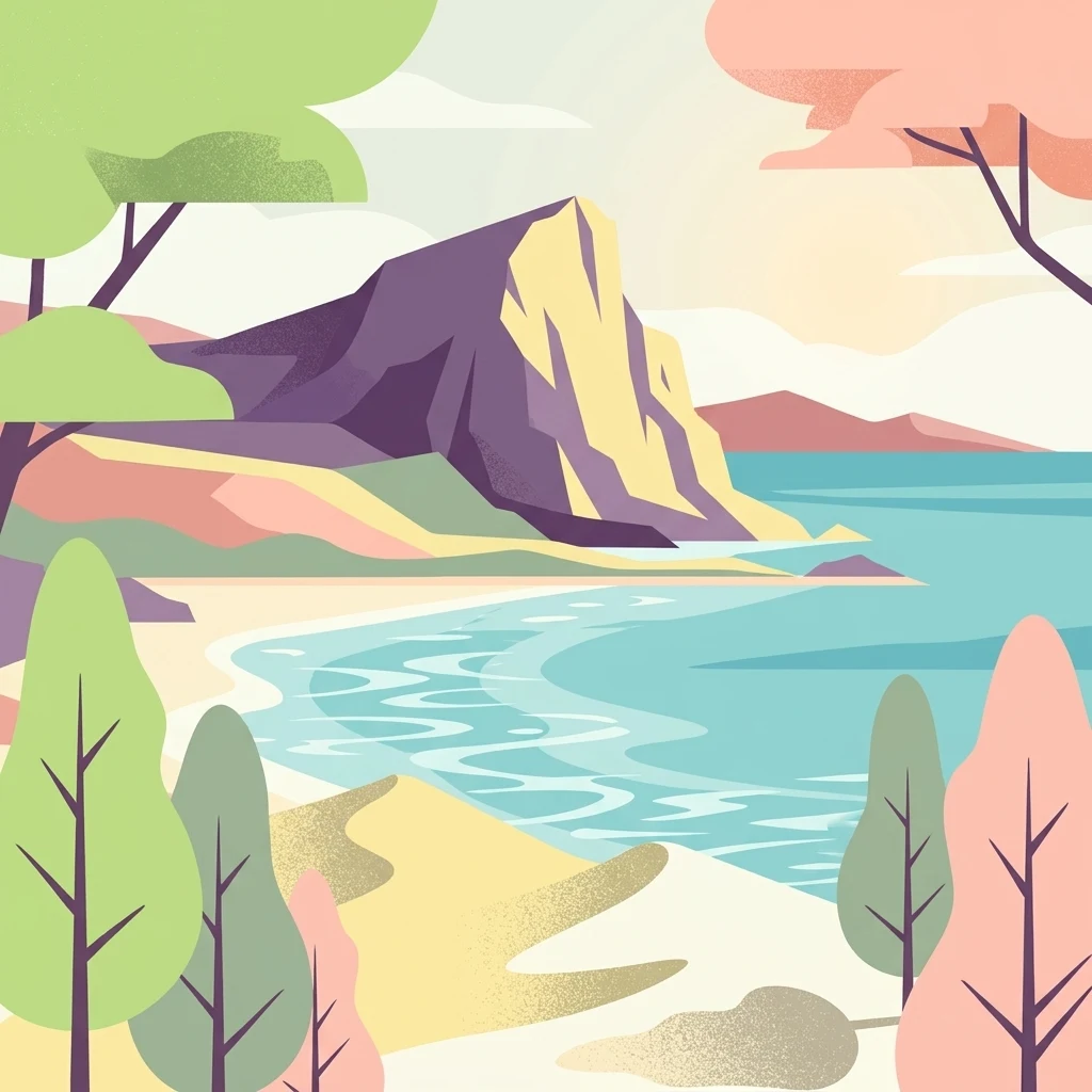
Digital flat illustration of a coastal scene with a large rocky outcrop, light-colored sand, turquoise water, and stylized trees in the foreground.

Chrysi

Protected area

Park overview

Structured park overview, official facts, and landscape profile for Chrysi

Chrysi park facts, protected area profile, and essential visitor context

Review the core facts for Chrysi, including designation, size, terrain, visitor scale, habitats, and operating context in one park-focused overview.

About Chrysi

Chrysi sits in the far southern waters of the Libyan Sea, a short distance offshore from one of Crete's most southerly towns, Ierapetra. Although the island is tiny, with a maximum elevation of just over 30 metres, it forms an important component of the Cretan Islands and is recognised both for its scenery and for its ecological and archaeological heritage. Its golden beaches and mature juniper woodland together create a landscape that feels remote and distinctive, despite being relatively close to the Cretan mainland.

Visitors typically experience Chrysi as a day destination reached by boat from Ierapetra or Myrtos, especially during the warmer months when excursion services run. The north coast is noted for its shallow, clear waters and shell-rich bays, including Belegrina, Hatzivolakas, and Kataprosopo, which make the island a popular spot for snorkelling and swimming. Inland, the juniper forest gives way to a quiet interior dotted with small ruins and heritage structures.

Administratively the island falls within the Ierapetra municipality in the Lasithi regional unit, and its very low resident population underlines its essentially uninhabited character at present. Yet archaeological evidence, including a Minoan settlement dating to between roughly 1800 and 1500 BC with associated purple dye workshops, a 13th-century chapel of Saint Nicholas, a salt pan, an old port, a lighthouse, and a Roman cemetery, hints at a long and varied human relationship with this small island across many centuries.

Quick facts and research context for Chrysi

Chrysi is a small island in the Cretan Islands archipelago, in the Libyan Sea, lying approximately 15 kilometres south of Crete near Ierapetra in the Lasithi regional unit. It is administratively part of the Ierapetra municipality and is essentially uninhabited today (population around 2 to 3 in recent counts). The island has a total area of around 4.7 square kilometres, but its highest point, Kefala, rises only about 31 metres above sea level.

Ecologically, Chrysi is distinguished by what is described as the largest naturally formed forest of Juniperus macrocarpa in Europe, with mature trees several hundred years old. The island is also protected as an area of intense natural beauty and contains notable archaeological sites, including a Minoan settlement dated to roughly 1800 to 1500 BC, alongside a 13th-century chapel dedicated to Saint Nicholas, a salt pan, an old harbour, and a Roman cemetery.

Protection and recognition

Analysis of mixed protection scope and official designation frameworks for Chrysi

Chrysi Protection Status and Documented Conservation Recognition

Chrysi maintains a documented mixed protection scope within its regional conservation framework. Official records compile available management parameters and designation data for structured evaluation.

Protection details

Protection scope
Mixed
Transboundary protection
No
Park context

Deeper park guide and search-rich context for Chrysi

Chrysi history, landscape, wildlife, and travel context

Explore Chrysi through its history, landscape character, ecosystems, wildlife, conservation priorities, cultural context, and seasonal travel timing in a structured park guide built for atlas discovery and search intent.

Why Chrysi stands out

Chrysi is most famous for two closely linked features: its broad golden-sand beaches and the dense, mature Juniperus macrocarpa forest that blankets much of the island. The combination of warm, shallow Libyan Sea waters along the shore and the inland juniper canopy gives the island a distinctive character that is unusual for such a small landmass. The juniper trees themselves are a major part of the island's identity. Many are around 200 years old and reach around 7 metres in height, with some individuals estimated at up to 300 years old and approaching 10 metres. The stand is considered the largest of its kind in Europe and forms the core ecological reason Chrysi has been protected as an area of intense natural beauty.
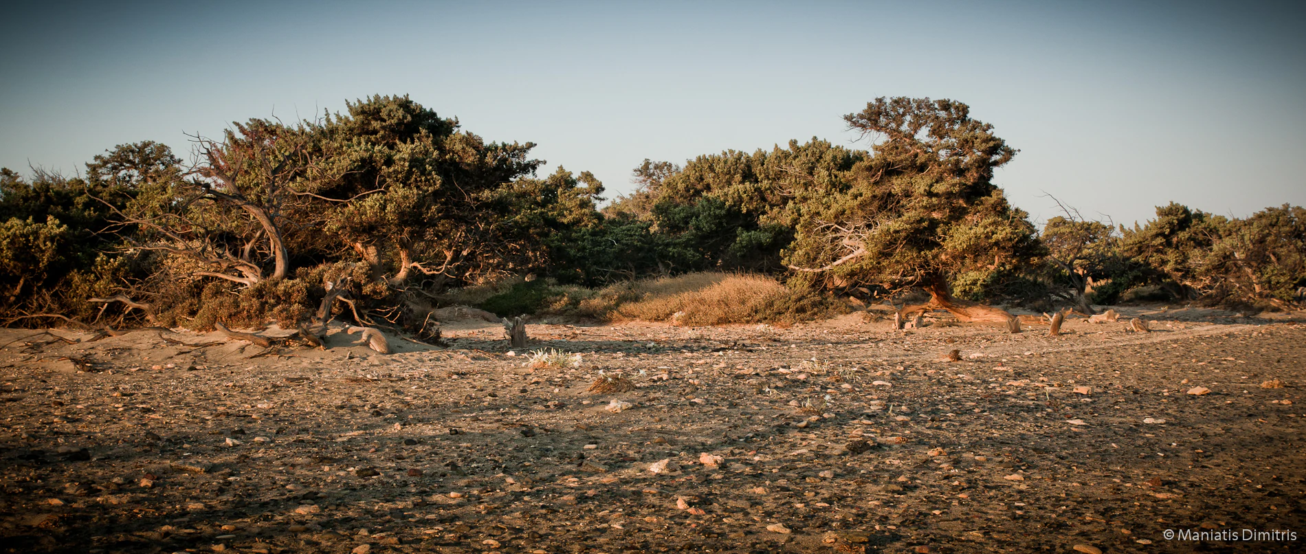
A wide view of a low-lying, scrubby forest of juniper trees growing on rocky, sandy ground under a clear sky.
A view of the distinctive juniper forest on Chrysi island.

Chrysi history and protected-area timeline

Human use of Chrysi stretches back to at least the Minoan period, when a settlement on the island was occupied between roughly 1800 and 1500 BC. Archaeological excavation of this settlement uncovered evidence of purple dye production, along with a range of associated artifacts, suggesting the island played a role in the broader network of maritime trade and specialised crafts that characterised Minoan coastal economies.

Later periods left their own traces on the landscape. The chapel of Saint Nicholas, on the western part of the island, is estimated to date to around the 13th century, while a Roman-era cemetery points to continued activity across antiquity and into later centuries. A salt pan, an old harbour, and a lighthouse further reflect the practical ways the island's resources and position were used across time.

In the modern era Chrysi has shifted from a working landscape into a protected natural and cultural site. It is officially recognised as an area of intense natural beauty, primarily because of its juniper forest, and it functions today as a seasonal nature and beach destination rather than as a permanent settlement, with excursion boats from Ierapetra forming its main link to the outside world.

Chrysi landscape and geographic character

Chrysi is a very low-lying island, with its highest point, known locally as Kefala or Head, reaching only about 31 metres above sea level. This modest relief, combined with the island's location in the Libyan Sea, produces a landscape shaped primarily by shoreline processes, sand, and shallow sea rather than by dramatic elevation or rock formations.

The coast is the most prominent visual feature of Chrysi. Golden-hued sand forms broad beaches around much of the island, while bays on the north coast such as Belegrina, Hatzivolakas, and Kataprosopo are known for their calm, shallow waters and abundant shells. Inland, away from the beaches, the terrain is dominated by the juniper forest and the quiet archaeological sites, including the chapel, salt pan, old port, lighthouse, and remnants of older settlements.

The combination of extremely gentle relief, sandy perimeter, and a continuous juniper canopy gives Chrysi a coherent and unusual landscape for so small an island, where the interior reads as a single wooded environment rather than a series of distinct hills or valleys.
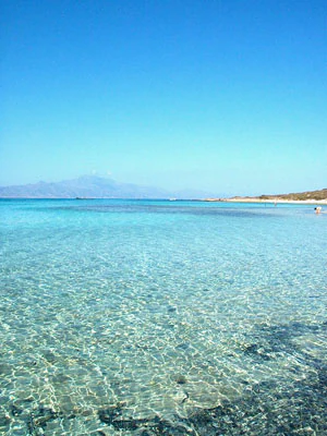
A wide angle view of the shallow, crystal clear turquoise water meeting a light-colored sandy beach on a sunny day.
The clear turquoise waters and golden shoreline of Chrysi Island.

Chrysi ecosystems, habitats, and plant life

The ecological identity of Chrysi is defined above all by its forest of Juniperus macrocarpa, which is described as the largest naturally formed forest of this species in Europe. This juniper, also known in Greece by names such as 'juniper' and 'cedar', and in Cyprus as 'aoratos', forms a dense, mature woodland across much of the island's interior and protects Chrysi's status as an area of intense natural beauty.

The structure of the forest is shaped by the island's tiny scale and shallow soils. Most of the trees have an average age of around 200 years and reach about 7 metres tall, while older specimens can approach 300 years and roughly 10 metres. The overall density is approximately 28 trees per hectare, producing a continuous and unusually old juniper cover.

There is no fresh drinking water on Chrysi, which limits the development of terrestrial ecosystems and helps explain why the island has remained so lightly settled. The marine environment around the island is also ecologically notable, with shallow, clear waters supporting rich shell communities and habitats that make the bays popular for snorkelling.
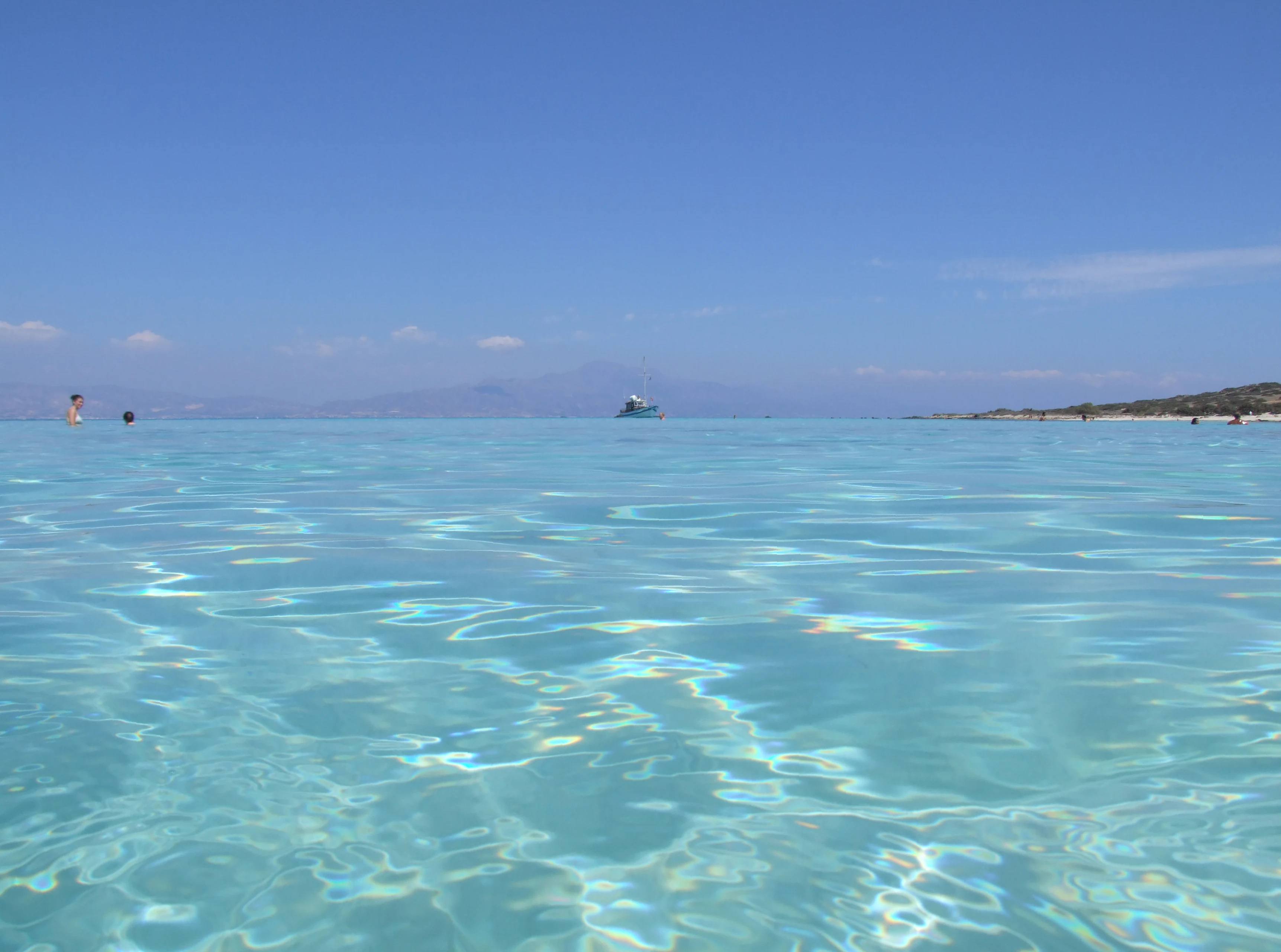
Eye-level shot of clear, shallow, light blue ocean water at Chrysi island under a bright blue sky, with a distant coastline visible.
Clear turquoise waters surrounding the shores of Chrysi island.

Chrysi wildlife and species highlights

Chrysi is not widely documented as a destination for large mammal or bird-driven wildlife tourism, in part because of its small size and lack of fresh water. The wildlife story of the island is therefore tightly bound to its vegetation and marine environment rather than to charismatic terrestrial fauna.

The juniper forest itself is the most important wildlife feature in functional terms, sustaining an ecosystem that has developed over centuries around a single dominant tree species. The structural age of the trees, with many older than 200 years, suggests the island supports habitat niches associated with mature Mediterranean woodland, including understorey plants, invertebrates, and nesting sites for birds adapted to juniper cover.

Surrounding the island, the shallow waters of the Libyan Sea host rich invertebrate communities, reflected in the diversity of shells in bays such as Belegrina, Hatzivolakas, and Kataprosopo. This underwater life, together with the clarity and calm of the sea, is what makes the island popular for snorkelling and diving rather than terrestrial wildlife watching.
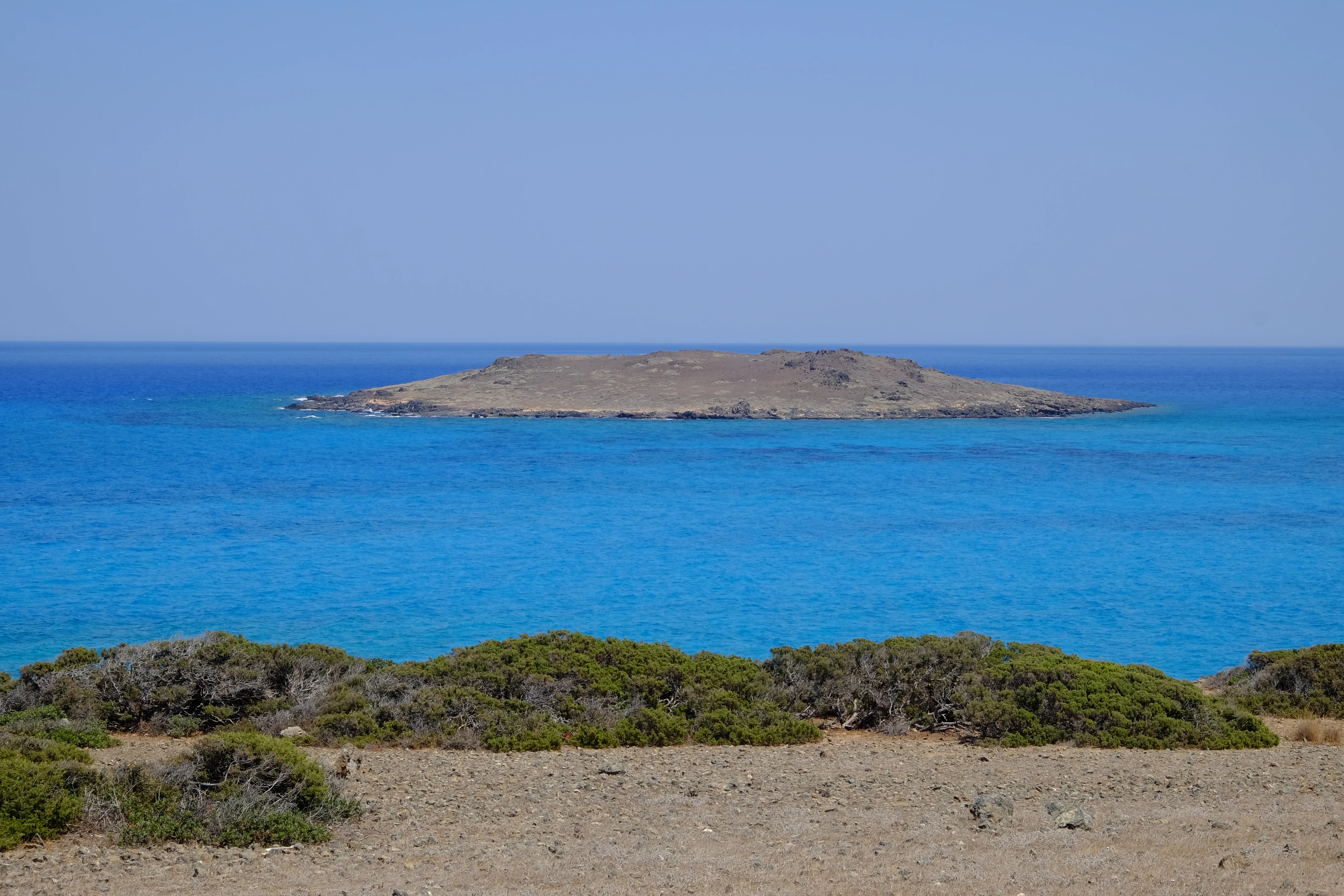
A distant small, flat island surrounded by vibrant turquoise water, seen from the rocky, arid terrain of a foreground shoreline.
The small island of Mikronisi viewed from the shores of Chrysi.

Chrysi conservation status and protection priorities

Chrysi is formally protected as an area of intense natural beauty, a status that reflects both its juniper forest and its broader landscape character. The core of the island's conservation significance lies in its Juniperus macrocarpa woodland, which is widely cited as the largest naturally formed forest of this species in Europe.

The conservation value of the stand is reinforced by its age structure. A substantial proportion of the trees are around 200 years old, with some reaching roughly 300 years, and densities of around 28 trees per hectare suggest a mature, well-established system rather than a secondary or regenerating one. Protecting this ancient juniper cover is effectively the central reason Chrysi has gained formal recognition.

The lack of fresh drinking water on the island, while a practical constraint, has also played an indirect role in limiting development pressure and supporting a relatively undisturbed ecosystem. Combined with the archaeological sites scattered across the interior, the protection status helps preserve both the natural and cultural layers of the island in a single integrated setting.

Chrysi cultural meaning and human context

Chrysi carries a layered cultural identity that weaves together ancient maritime activity, religious heritage, and traditional island names. In Minoan times the island hosted a settlement associated with purple dye production, placing it within the wider Aegean trade economy and giving it an early role in specialised coastal craft.

The island's religious and folk heritage is reflected in the 13th-century chapel of Saint Nicholas on the western coast, which remains one of the most visible built landmarks on Chrysi today. Other markers of past activity, such as a Roman cemetery, an old port, a salt pan, and a lighthouse, show how the island continued to be used and re-imagined across different eras.

Names are themselves part of the cultural context. While Chrysi means 'golden' and refers to the colour of the beaches, the island is also traditionally known as Gaidouronisi, meaning 'donkey island', a folk name widely used in Greek. The presence of alternative Greek names such as Chrysa and Gadaronisi underlines how this small island has long been recognised in multiple ways by locals and visitors alike.
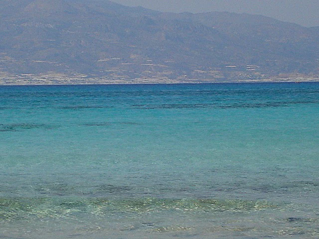
A horizontal view of bright turquoise sea water in the foreground, with a distant, hazy island coastline and mountain range in the background under a pale sky.
The turquoise waters of the Libyan Sea surrounding the island of Chrysi.

Top sights and standout views in Chrysi

Stands out for the combination of golden-sand beaches surrounding a dense, ancient juniper forest, all on an island of only a few square kilometres. Rare in Europe for having such a large and mature naturally formed Juniperus macrocarpa stand, with trees that are routinely centuries old.

Holds unusually varied heritage for its size, including a Minoan settlement with purple dye workshops, a 13th-century chapel of Saint Nicholas, a Roman cemetery, a salt pan, and a lighthouse. Functions today as a quiet seasonal nature and beach destination, reached mainly by excursion boat from Ierapetra.

Best time to visit Chrysi

The atmosphere of Chrysi shifts clearly with the seasons because access to the island is largely boat-dependent. Summer and the warmer shoulder months bring the most active period, when excursion boats run from Ierapetra and the shallow, clear waters on the north coast are at their most inviting for swimming and snorkelling.

In the cooler months outside this seasonal window, the island is quieter and harder to reach, with services largely suspended. Spring and early autumn can offer a gentler experience, with warm but less crowded conditions, while the juniper forest shows its most interesting shades outside the peak summer heat. For visitors interested in both the beaches and the inland woodland, the late spring to early autumn window is when the island is most fully alive.
Monthly climate preview

Track monthly temperature ranges and precipitation averages across the landscape

Chrysi Climate Normals and Long-Term Annual Temperature Patterns

Representative coordinate records show measured variations in average temperature and precipitation across the annual cycle for Chrysi. Examining the complete monthly climate dataset provides deeper insight into long-term meteorological normals and baseline regional conditions.
Annual mean19 °C
12 °C26 °C
Jan13°
Feb12°
Mar14°
Apr16°
May20°
Jun24°
Jul26°
Aug26°
Sep24°
Oct21°
Nov18°
Dec14°
Warmest month
August

26.4 °C

Coolest month
February

12.4 °C

Wettest month
December

2.9 mm/day

Driest month
July

0.1 mm/day

Park location guide

Geography guide, regional context, and park location map for Chrysi

Chrysi park geography, regions, and map view in Greece

Understand where Chrysi sits in Greece through a broader geographic reading of the surrounding landscape, nearby location context, and its mapped position within the national park landscape.

How Chrysi fits into Greece

Greece, officially the Hellenic Republic, is a country in Southeast Europe occupying the southern Balkans. It borders Albania, North Macedonia, Bulgaria, and Turkey, with coastlines on the Aegean, Ionian, and Mediterranean seas. The country has over 10 million people and is renowned for its ancient Greek heritage, philosophy, democracy, and the Olympic Games.

Wider geography shaping Chrysi in Greece

Greece occupies the southern tip of the Balkan peninsula in Southeast Europe. It shares land borders with Albania to the northwest, North Macedonia and Bulgaria to the north, and Turkey to the east. The Aegean Sea lies to the east of the mainland, the Ionian Sea to the west, and the Sea of Crete and Mediterranean Sea to the south. The country spans thousands of islands across nine traditional geographic regions and has the longest coastline in the Mediterranean basin.

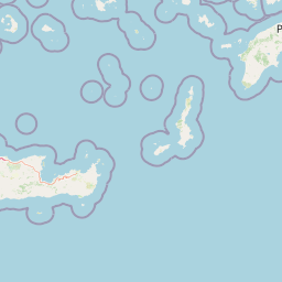
Map view of Chrysi

Use this park location map to pinpoint Chrysi in Greece, understand its exact geographic position, and read its mapped placement within the surrounding landscape more clearly.

Pigeon | © OpenStreetMap contributors

Location context for Chrysi

CreteLasithi

Explore visual records of ancient juniper forests, golden shores, and Mediterranean coastal habitats.

Chrysi Photos and Landscape Scenery: Visualizing the Protected Island Environment

Visual documentation captures the unique terrain and protected landscape character of Chrysi across its sandy shores and wooded interior. Examining these detailed photographs reveals the ecological formations and coastal environments that define the island.

A wide view of a low-lying, scrubby forest of juniper trees growing on rocky, sandy ground under a clear sky.

A wide panoramic view of a sandy beach on Chrysi Island with rows of thatched sun umbrellas and lounge chairs on the left, leading to shallow, clear turquoise water, with a faint coastline visible in the background under a clear sky.

A wide angle view of the shallow, crystal clear turquoise water meeting a light-colored sandy beach on a sunny day.

Eye-level shot of clear, shallow, light blue ocean water at Chrysi island under a bright blue sky, with a distant coastline visible.

A distant small, flat island surrounded by vibrant turquoise water, seen from the rocky, arid terrain of a foreground shoreline.

A wide sandy beach path on Chrysi island leading toward the sea, flanked by dense green juniper bushes on both sides with the hazy coastline of Crete in the background.

A horizontal view of bright turquoise sea water in the foreground, with a distant, hazy island coastline and mountain range in the background under a pale sky.

Park atlas

Discover related Mediterranean coastal reserves and island habitats near Chrysi

Explore Protected Areas and Parks Near Chrysi in the Regional Cretan Landscape

Browsing protected areas near Chrysi reveals connected coastal reserves and regional island ecosystems across the Libyan Sea. Comparing these surrounding landscapes offers deeper geographic context for Mediterranean woodland and coastal habitats.
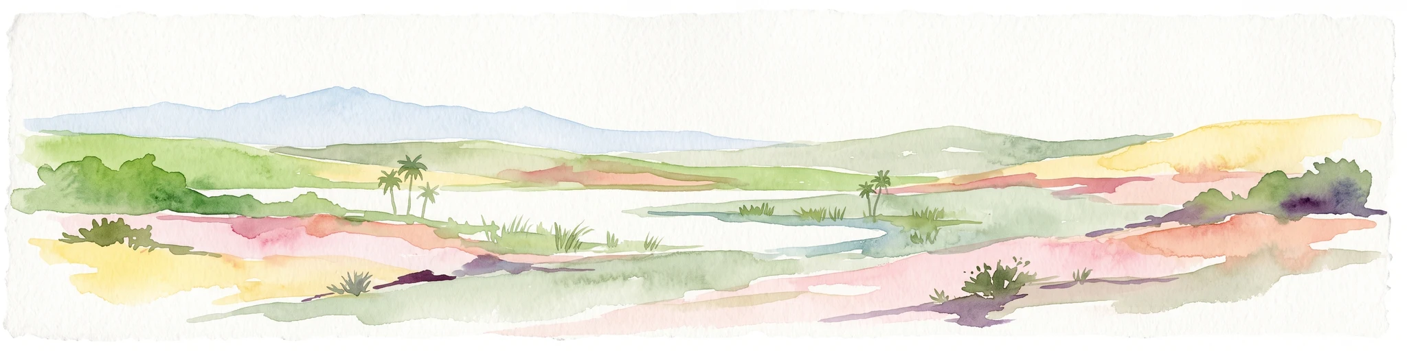
A watercolor painting of a rolling mountainous landscape in Crete, featuring soft green hills, wildflowers, and pale mountain outlines against a light sky.
Biosphere reserveCrete
About 51 km away#1 closest

Northeast

Sitia Nature Park: Geographic Atlas of Crete's Eastern Protected Mountain Landscapes

Mapping gorges, karst caves, and the eastern Cretan coastline.

Sitia Nature Park represents a vast protected territory across eastern Crete, characterized by its complex mountain spine and profound geological formations. This atlas entry provides geographic insights into the park's canyon systems, including the Valley of the Dead, and the karst caves that define its UNESCO Global Geopark status and regional natural terrain.

Established
2015
Relief
Mountain
Climate
Mediterranean
Access
Moderate access
National parkCrete
About 66 km away#2 closest

Northeast

Vai Aesthetic Forest National Park: Geographic and Protected Landscape Overview

Coastal palm woodland and regional Cretan geography

Investigate the landscape composition of Vai Aesthetic Forest, a protected national park in northeastern Crete. This site preserves a rare Mediterranean wetland ecosystem and a significant population of endemic date palms, offering deep insights into the region's geological and ecological heritage within the Sitia UNESCO Global Geopark framework.

Area
0.2 km²
Established
1985
Relief
Lowland
Climate
Mediterranean
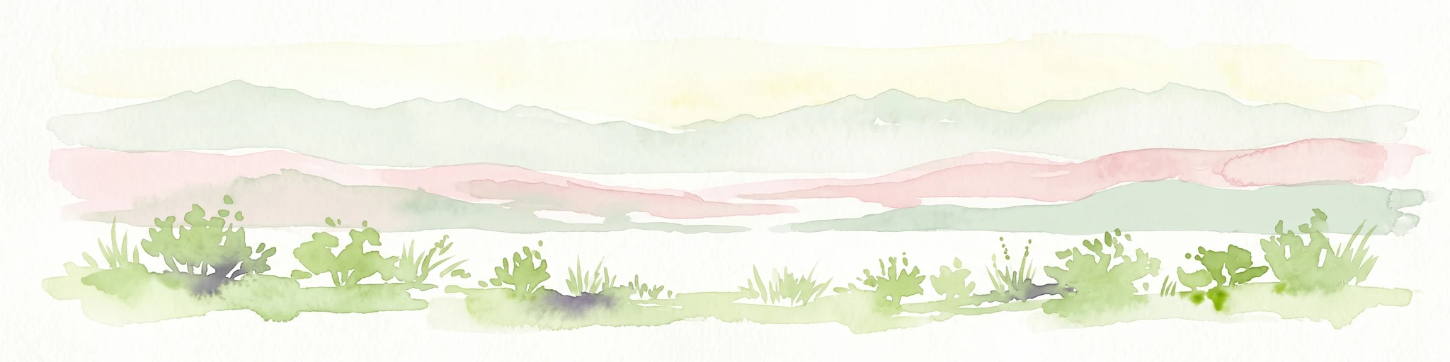
A horizontal watercolor illustration showing soft, stylized green and pink layers representing rolling hills and distant land over a light foreground of scrubby vegetation.
Protected areaLasithi
About 68 km away#3 closest

Northeast

Dionysades Protected Area: An Atlas Guide to the Islands of Northeastern Crete

Geography and protected island landscapes in Lasithi

The Dionysades archipelago comprises four rocky islets isolated in the shallow waters of the northeastern Cretan shelf. This protected area functions as a key seabird stronghold in the Aegean, characterized by its dramatic maritime silhouette, deep-water surroundings, and significant cultural history reaching back to classical antiquity.

Area
5.25 km²
Relief
Upland
Climate
Mediterranean
Access
Remote access
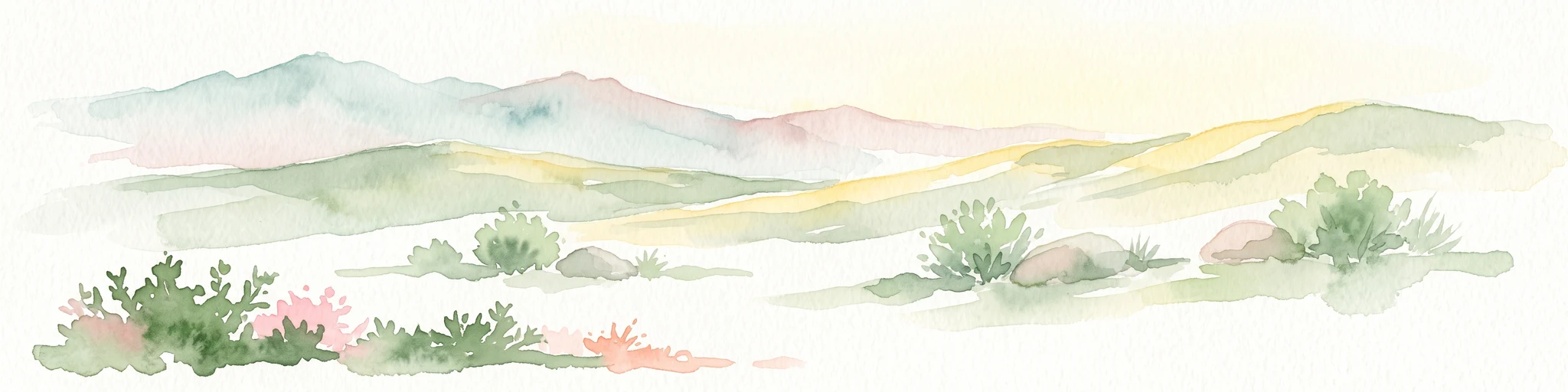
A horizontal watercolor painting showing soft, rolling mountains and sparse desert-like shrubbery in shades of light green, pale pink, and yellow.
Biosphere reserveCrete
About 88 km away#4 closest

Northwest

Psiloritis Natural Park: Protected Karstic Mountains and Cultural Landscapes in Crete

Geological exploration and regional mountain geography

Psiloritis Natural Park encompasses the central massif of Crete, featuring the famous Mount Ida range. Its protected territory serves as an essential site for understanding karstic geology, from deep underground cave systems to high-altitude steppes. The region perfectly highlights the intersection between large-scale tectonic history and the long-standing human traditions that shape the mountainous interior of the island.

Area
1,159 km²
Established
2001
Relief
Mountain
Climate
Mediterranean
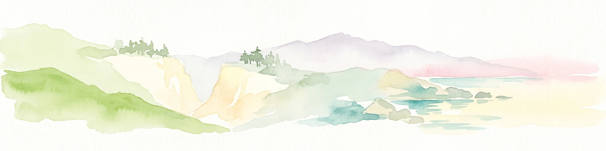
A watercolor painting showing a panoramic landscape with green hills, distant mountains, and water, set against a plain white background.
National parkGreece
About 166 km away#5 closest

West

Samaria National Park: Geological Landscape and Protected Area Atlas in Crete, Greece

Mapping the dramatic White Mountain canyon and coastal descent

Samaria National Park stands as a major protected landmark in Greece, defined by a tectonic gorge that bisects the White Mountains. This atlas entry covers the park boundary, the distinct vertical limestone cliffs of the Iron Gates, and the transition from mountain plateau to the Mediterranean coastline.

Area
4.848 km²
Established
1962
Relief
Mountain
Climate
Mediterranean
A soft watercolor illustration of green rolling hills and flat land against a pale, hazy background, representing a coastal island environment.
Nature reserveCrete
About 178 km away#6 closest

Northwest

Agioi Theodoroi Nature Reserve: Protected Island Landscapes off the Coast of Crete

A vital wildlife sanctuary and historical island terrain

The nature reserve of Agioi Theodoroi comprises two small, rocky islands off the northwestern shore of Crete. Known for a long-established population of the rare kri-kri wild goat and breeding colonies of Eleonora's falcons, these islets maintain strict conservation status. Explore the mapped boundaries of this unique protected area and its significance within the coastal geography of the Chania region.

Area
0.697 km²
Established
1930
Relief
Upland
Climate
Mediterranean
Watercolor painting of a coastal landscape featuring green rolling hills, distant landmasses, and stylized shrubs and trees in the foreground against a white background.
Nature reserveCrete
About 204 km away#7 closest

West

Elafonisi Nature Reserve: Geography and Protected Landscape Analysis in Crete

Coastal dunes and limestone formations in southwestern Crete.

Elafonisi is a protected nature reserve situated in the southwestern reaches of Crete. This site encompasses a complex landscape of sand dunes, juniper-covered scrub, and rugged limestone terrain. By providing a clear look at the area, this atlas entry helps users understand the geographic setting, the ecological significance of the island, and the natural boundaries of this noteworthy Mediterranean conservation area.

Area
1.5 km²
Relief
Lowland
Climate
Mediterranean
Access
Easy access
National parkMuğla Province
About 309 km away#8 closest

Northeast

Marmaris National Park: Mediterranean Forest Protected Landscape and Ancient Heritage

Discover its geography, mapped boundaries, and unique flora.

Marmaris National Park in Muğla Province offers a deep dive into a protected Mediterranean forest ecosystem and Carian history. Explore its rugged terrain, dramatic coastlines where pine forests meet the sea, and discover ancient sites like the Amos amphitheatre. This park is a key area for understanding regional geography, mapped natural landscapes, and the unique botanical diversity of Turkey's southwestern coast, supporting detailed atlas exploration.

Area
333.5 km²
Established
1996
IUCN
II
Visitors
8.5M annual

Common questions about visiting, size, designation, and location context for Chrysi

Chrysi FAQs for park facts, access, geography, and protected area context

Find quick answers about Chrysi, including protected-area facts, park geography, trail and visitor context, and how the park fits into its surrounding country and regional landscape.
MoriAtlas Explorer

Continue Your Protected Areas Search Across the Global Atlas

Deepen your exploration by continuing the structured search for national parks and protected areas worldwide. Utilize the comprehensive filtering capabilities to compare different conservation landscapes and refine your understanding of global park geography. Discover more about the distribution and characteristics of protected natural areas.

Global natural geography