
Mori Atlas logo
Protected areaDionysades

A remote island chain in the Sea of Crete featuring unique protected bird habitats and ancient cultural remnants.

Dionysades Protected Area: Examining the Geographic and Maritime Landscape of the Cretan Archipelago

The Dionysades archipelago serves as a critical protected area located off the northeastern coast of Lasithi, Crete. This group of four uninhabited islands stands as a distinct maritime feature on the edge of the Cretan coastal shelf. Beyond their role as a sanctuary for seabirds like the Eleonora's falcon and shearwaters, these islands represent a unique convergence of geological history within the Hellenic arc and deep-sea Mediterranean surroundings.

uninhabited islandsseabird breedingImportant Bird AreaCretan archipelagoAegean islandsmarine protected
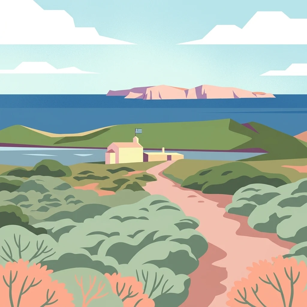
A flat vector-style illustration showing a dirt path leading through green coastal scrubland toward a small white building with a Greek flag, with a calm blue sea and distant rocky island in the background.

Dionysades

Protected area

Park overview

Structured park overview, official facts, and landscape profile for Dionysades

Dionysades park facts, protected area profile, and essential visitor context

Review the core facts for Dionysades, including designation, size, terrain, visitor scale, habitats, and operating context in one park-focused overview.

About Dionysades

The Dionysades form one of the more distinctive minor archipelagos along the Cretan coastline, both for their position in the eastern Mediterranean and for the way they straddle ecological and cultural significance. Quoting theDionysades' character in a few words is difficult: they are remote and uninhabited, yet they hold meaningful ecological weight as a breeding ground for several seabird and raptor species of European conservation concern, and they carry a name that reaches back to antiquity, where Greek and Roman writers linked them to mythology and early agricultural innovation.

The four islands that make up the group are Dragonada, the largest and most visible of the set; Gianysada, the southernmost member; Paximada, the northernmost; and Paximadaki, a small reef hugging the north coast of Dragonada. From the Cretan mainland, the archipelago lies along a roughly northward-trending line off the northeast coast of the island, between Cape Sidero in the southeast and Sitia in the southwest. Their setting in shallow waters above a reef-dotted coastal shelf contrasts sharply with the deep Sea of Crete to the north, where the seafloor plunges steeply toward the Hellenic arc.

Administratively, the Dionysades belong to the Sitia municipal unit within the Lasithi regional unit of Crete, even though nobody lives there permanently. Their remoteness and the difficulty of access have likely helped preserve the islands in a largely undisturbed state, which in turn supports the bird populations that gave them international recognition. The juxtaposition of classical mythology, archaeological traces, and modern ornithological importance gives the Dionysades an unusually layered identity among Cretan's smaller island groups.

Quick facts and research context for Dionysades

The Dionysades are a four-island group lying roughly 13 to 18 kilometers off the northeast coast of Crete, depending on whether measured from Cape Sidero or from Sitia. They are administratively part of the Sitia municipal unit in the Lasithi region of Crete, Greece, and had no permanent population as of the most recent census.

Geologically, the islands sit on an extension of the Hellenic arc, the curved submarine range that forms the southern boundary of the Aegean Sea. Their surrounding waters are shallow across a reef-dotted coastal shelf, with much deeper water of the Sea of Crete lying just to the north. Ecologically, the group is recognized as an Important Bird Area by BirdLife International for its breeding seabirds and raptors.

Protection and recognition

Comprehensive protection scope and official international designation details

Dionysades Protection Status and Documented Conservation Recognition

Dionysades maintains a mixed protection scope governed by established conservation frameworks and management guidelines. Formal records compile designated status criteria, administrative history, and international recognition data without external assumptions.

Protection details

Protection scope
Mixed
Transboundary protection
No
Park context

Deeper park guide and search-rich context for Dionysades

Dionysades history, landscape, wildlife, and travel context

Explore Dionysades through its history, landscape character, ecosystems, wildlife, conservation priorities, cultural context, and seasonal travel timing in a structured park guide built for atlas discovery and search intent.

Why Dionysades stands out

The Dionysades are primarily known as a seabird and raptor stronghold in the northeastern Aegean, recognized internationally as an Important Bird Area by BirdLife International. The islands host breeding colonies of Scopoli's shearwaters and Yelkouan shearwaters, alongside Eleonora's falcons, and serve as a passage point for lesser kestrels during migration. Equally distinctive is the group's ancient cultural pedigree. The name Dionysades reaches back to classical antiquity, when Diodorus Siculus linked these islands near Crete's "twin gulfs" to a Cretan Dionysus said to have invented the plough and first cultivated vines. The discovery of artefacts from ancient and early Christian periods hints at a long, if sparsely documented, history of human presence on islands that today remain completely uninhabited.
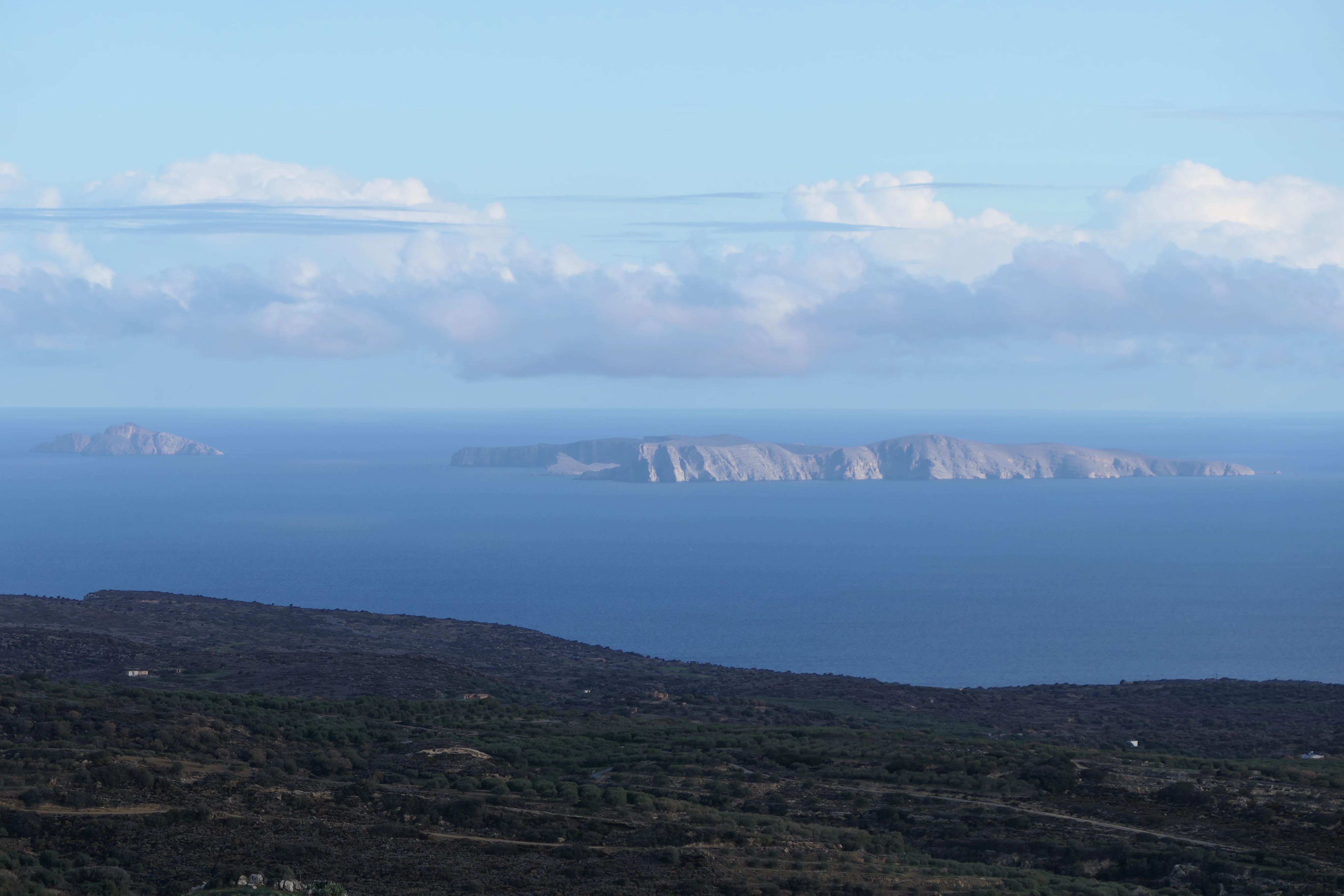
A distant view of the rocky Dionysades islands rising above the blue Aegean Sea, seen from the scrub-covered slopes of the Cretan coast.
The uninhabited Dionysades archipelago seen from the coast of Crete.

Dionysades history and protected-area timeline

The name Dionysades is ancient, and the islands appear in classical sources in connection with mythology rather than with a documented political or administrative history. Diodorus Siculus, writing in the Bibliotheca Historica, mentions the islands in the context of a Cretan-born Dionysus, one of three gods of that name in ancient belief, who was said to be the son of Zeus and Persephone. According to Siculus, this Dionysus was credited with inventing the plough and was the first to cultivate vines and produce wine. The mythological tradition links the islands themselves to the god's creative acts,

placing them near Crete "in the twin gulfs," or Didymoi Kolpoi, a geographic label that later cartographers tried but struggled to match accurately to the actual Cretan coastline.

The early modern cartographic record shows how uncertain the islands' identity and surroundings remained well into the modern era. A 1651 map by Nicolas Sanson, the French royal cartographer, depicts the "Didymi or Twin Bays" off northern Crete in a speculative form that barely matches the real coastline. A British admiralty chart based on soundings taken by HMS Spitfire in 1852 provides a much more detailed picture of the waters around the Dionysades, but the chart reflects the navigational knowledge of its era rather than GPS-accurate geography.

Beyond the mythological and cartographic record, archaeologists have found artefacts from ancient and early Christian periods on the Dionysades, suggesting that the islands were at least sporadically visited, inhabited, or used for ritual purposes in earlier eras. Today, the islands carry no permanent population and no modern settlement history of their own; their significance lies in their ecological role rather than in any continuous human habitation since antiquity.

Dionysades landscape and geographic character

The Dionysades are a compact archipelago of four islands and islets set in the shallow waters above the northeastern Cretan coastal shelf. From the mainland, they appear as a low, rocky chain trending roughly northward away from Crete, with the larger islands of Dragonada and Gianysada being the most visually prominent. Their profile is distinctly maritime: cliffs, rocky shores, and small coves dominate, and there are no significant rivers, plains, or forested interiors to give the islands a terrestrial breadth.

Geologically, the group sits on an off-ridge of the Hellenic arc, the curving submarine mountain system that runs from the Peloponnese to Rhodes along the southern edge of the Aegean. South of the arc, the Hellenic Trench descends to extraordinary depths, while the Sea of Crete, to the north of the islands, drops sharply as well. Between this deep surrounding ocean and the islands themselves lies a relatively shallow coastal shelf, marked by reefs, rocks, and uneven sea floor. Late 19th-century admiralty soundings charted this shelf in detail, showing channels of varying depth between the islands and the mainland, and a series of named hazards such as Spitfire Rock and Pinnacle Rock off Cape Sidero.

The wider landscape the Dionysades inhabit includes the eastern Gulf of Mirabello, the bay of Sitia, and the rugged northeastern promontory of Crete around Cape Sidero, which mark the southern boundary of the islands' visible setting. From a distance, as noted in descriptions of the islands seen from the area around Sitia, the group appears as a low, broken silhouette against the horizon above open water, more a part of the sea than an extension of the Cretan hills.
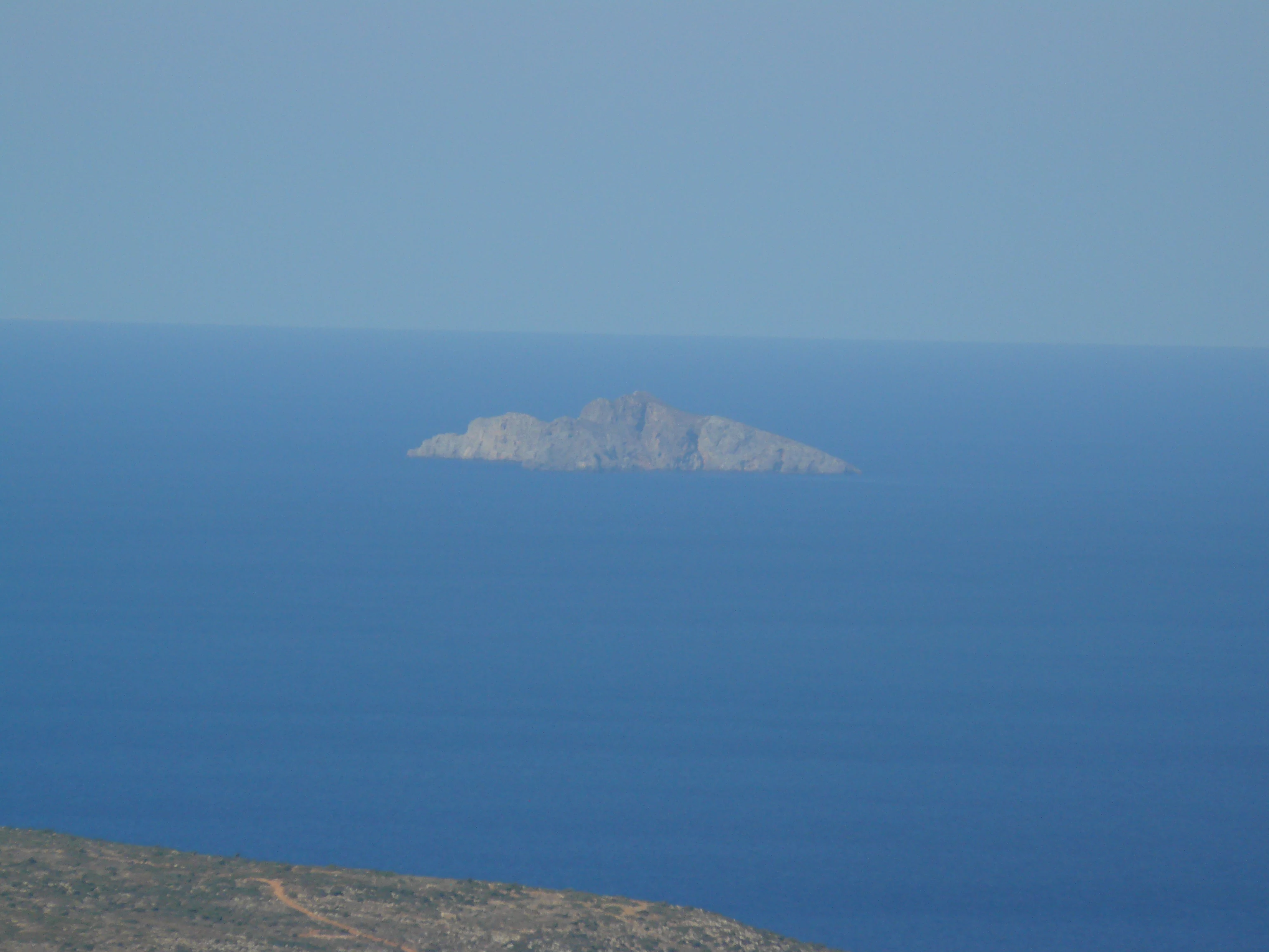
A small, rocky, uninhabited island sits in the middle of a calm, blue Mediterranean sea, viewed from a high vantage point.
A distant view of Paximada island, part of the Dionysades archipelago off the coast of Crete.

Dionysades ecosystems, habitats, and plant life

Ecologically, the Dionysades stand out for the way their isolation and lack of permanent human presence have preserved habitats that support important breeding and migratory bird populations. The islands are formally recognized as an Important Bird Area by BirdLife International, a designation that reflects their significance for species of European conservation concern.

The surrounding marine environment is shaped by the shallow, reef-studded coastal shelf that rings Crete. Within this setting, the islands offer nesting cliffs, rocky slopes, and undisturbed coastlines that suit seabirds and raptors needing secure, predator-free breeding sites. The drier, shrubby vegetation typical of small Aegean islets likely contributes to the habitat character, along with the maritime climate and the islands' exposure to wind and salt spray. While the source material does not provide a full botanical inventory, the combination of small land area, rocky terrain, and minimal human pressure gives the group an ecological profile distinct from the larger and more developed Cretan landscapes to the south.

The broader ecological context of the Dionysades is tied to the Hellenic arc and the surrounding deep waters of the Sea of Crete and the eastern Aegean. The interplay between shallow shelves around the islands and deep, less productive waters offshore helps shape the marine food webs on which the breeding seabirds depend, even if those oceanographic details are not all spelled out in publicly available descriptions.

Dionysades wildlife and species highlights

The wildlife profile of the Dionysades centers on birds, and specifically on species whose populations are of conservation interest across the Mediterranean. BirdLife International has designated the archipelago an Important Bird Area because it supports breeding populations of two shearwater species: Scopoli's shearwater and Yelkouan shearwater. Both are pelagic seabirds that nest in burrows and rock crevices on small, relatively undisturbed islands, and the Dionysades appear to offer habitat well-suited to their needs.

In addition to the shearwaters, the islands hold breeding Eleonora's falcons, a Mediterranean raptor famous for its unusually late breeding season, which is timed to coincide with the autumn passage of migratory songbirds. The presence of Eleonora's falcons on the Dionysades is the single most frequently mentioned wildlife fact about the group and is explicitly noted in both English-language and Greek-language sources. Lesser kestrels are also recorded on passage migration, using the islands as a temporary stopover rather than as breeding grounds.

The absence of permanent human settlement has likely played a role in maintaining conditions favorable for these species. There is no mention in available sources of large terrestrial mammal populations, and the islands' small size and rocky character suggest that the avifauna is the dominant and most ecologically significant component of the wildlife community.

Dionysades cultural meaning and human context

The cultural context of the Dionysades is unusual in that it rests almost entirely on antiquity rather than on continuous local tradition. The islands' name comes from the classical Greek past, where mythology tied them to a Cretan Dionysus, a figure credited with inventing the plough and introducing viticulture. This mythological link to agriculture, wine, and the Cretan landscape gives the name Dionysades a deeper resonance than most modern Greek island names, which typically derive from saints, conquerors, or local features.

Archaeologists have recovered artefacts on the Dionysades from both ancient and early Christian periods, suggesting that the islands may have hosted shrines, hermitages, or seasonal activity tied to the sea routes along northeast Crete. A place of worship dedicated to Dionysus himself is plausible given the mythology surrounding the name, though available sources flag this as likely but not definitively proven.

In the modern era, the Dionysades have no permanent population and no local vernacular culture of their own. Their cultural weight today is mediated through Sitia, Lasithi, and Crete more broadly, and through the wider Greek and international interest in the islands' birdlife and ancient heritage.

Top sights and standout views in Dionysades

Among the most distinctive features of the Dionysades are their internationally recognized seabird and raptor populations, which earn the archipelago its Important Bird Area status. The breeding colonies of Scopoli's shearwaters, Yelkouan shearwaters, and Eleonora's falcons, along with lesser kestrels on passage, make the islands a focal point for Mediterranean bird conservation.

Equally notable is the geographic drama of the setting: a tiny, uninhabited island chain perched at the edge of the Cretan shelf, with the abyssal Hellenic Trench far to the south and the deep Sea of Crete falling away to the north. Beneath the wild, remote surface, the Dionysades carry an ancient cultural genealogy rooted in classical mythology, in early Christian artefacts, and in centuries of cartographic uncertainty about the twin gulfs the islands were said to inhabit.

Best time to visit Dionysades

Visiting the Dionysades is a specialized endeavor rather than a routine destination, given that the islands are uninhabited, small, and surrounded by reef-strewn shallow waters. Season matters primarily for the islands' ecological character: spring and early autumn tend to be the most active periods for the bird species the archipelago is known for, including the late-summer and early-autumn breeding cycle of Eleonora's falcon and the broader seabird season.

Calmer sea conditions in late spring through early autumn generally offer the easiest approach by boat, though weather in the Aegean can change quickly. Winter exposes the islands to strong winds and rougher water, making access more challenging and less conducive to appreciating the seabird populations at their peak. Without permanent services on the islands themselves, any visit depends on boats operating out of Sitia or other nearby Cretan ports, and conditions should be planned around marine weather rather than on-island amenities.
Monthly climate preview

Long-term monthly temperature and precipitation patterns recorded at representative park coordinates

Dionysades Climate Normals and Measured Annual Temperature Rhythm

Representative coordinate records show average temperatures ranging from 14.23 degrees Celsius to 25.32 degrees Celsius alongside distinct monthly precipitation shifts across the twelve-month climatology period. Detailed monthly climate normals provide a complete chronological breakdown of temperature ranges and precipitation rates for Dionysades.
Annual mean19 °C
14 °C25 °C
Jan14°
Feb14°
Mar15°
Apr17°
May19°
Jun23°
Jul25°
Aug25°
Sep24°
Oct22°
Nov19°
Dec16°
Warmest month
August

25.3 °C

Coolest month
February

14.2 °C

Wettest month
January

3.4 mm/day

Driest month
July

0.1 mm/day

Park location guide

Geography guide, regional context, and park location map for Dionysades

Dionysades park geography, regions, and map view in Greece

Understand where Dionysades sits in Greece through a broader geographic reading of the surrounding landscape, nearby location context, and its mapped position within the national park landscape.

How Dionysades fits into Greece

Greece, officially the Hellenic Republic, is a country in Southeast Europe occupying the southern Balkans. It borders Albania, North Macedonia, Bulgaria, and Turkey, with coastlines on the Aegean, Ionian, and Mediterranean seas. The country has over 10 million people and is renowned for its ancient Greek heritage, philosophy, democracy, and the Olympic Games.

Wider geography shaping Dionysades in Greece

Greece occupies the southern tip of the Balkan peninsula in Southeast Europe. It shares land borders with Albania to the northwest, North Macedonia and Bulgaria to the north, and Turkey to the east. The Aegean Sea lies to the east of the mainland, the Ionian Sea to the west, and the Sea of Crete and Mediterranean Sea to the south. The country spans thousands of islands across nine traditional geographic regions and has the longest coastline in the Mediterranean basin.

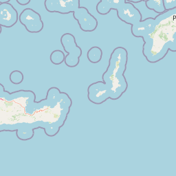
Map view of Dionysades

Use this park location map to pinpoint Dionysades in Greece, understand its exact geographic position, and read its mapped placement within the surrounding landscape more clearly.

Pigeon | © OpenStreetMap contributors

Location context for Dionysades

Lasithi

Explore rocky shores, marine habitats, and remote island terrain through detailed visual documentation.

Dionysades Landscape Photos and Archipelago Scenery Visual Guide

Visual records capture the rugged topography and maritime environment of the uninhabited Dionysades archipelago. Examining photographic documentation reveals the distinct coastal landforms and protected seabird habitats defining this remote Aegean island ecosystem.

A distant view of the rocky Dionysades islands rising above the blue Aegean Sea, seen from the scrub-covered slopes of the Cretan coast.

A red dirt path winds through low lying scrub brush toward a small white chapel on a coastline with a hilly island in the background.

A small, rocky, uninhabited island sits in the middle of a calm, blue Mediterranean sea, viewed from a high vantage point.

Park atlas

Compare marine sanctuaries, island reserves, and surrounding coastal landscapes.

Exploring Parks Near Dionysades and Other Protected Areas Across the Aegean Region

Browsing other parks near Dionysades reveals connected maritime ecosystems and protected island landscapes across the Aegean shelf. Extending the regional comparison helps map marine habitats, bird sanctuaries, and rugged coastal terrain.
National parkCrete
About 13 km away#1 closest

Southeast

Vai Aesthetic Forest National Park: Geographic and Protected Landscape Overview

Coastal palm woodland and regional Cretan geography

Investigate the landscape composition of Vai Aesthetic Forest, a protected national park in northeastern Crete. This site preserves a rare Mediterranean wetland ecosystem and a significant population of endemic date palms, offering deep insights into the region's geological and ecological heritage within the Sitia UNESCO Global Geopark framework.

Area
0.2 km²
Established
1985
Relief
Lowland
Climate
Mediterranean
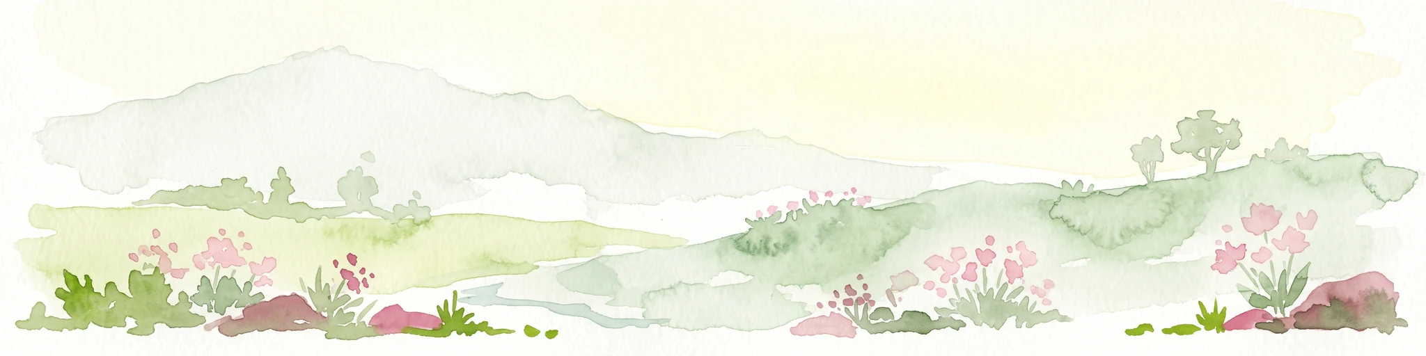
A watercolor painting of a rolling mountainous landscape in Crete, featuring soft green hills, wildflowers, and pale mountain outlines against a light sky.
Biosphere reserveCrete
About 24 km away#2 closest

South

Sitia Nature Park: Geographic Atlas of Crete's Eastern Protected Mountain Landscapes

Mapping gorges, karst caves, and the eastern Cretan coastline.

Sitia Nature Park represents a vast protected territory across eastern Crete, characterized by its complex mountain spine and profound geological formations. This atlas entry provides geographic insights into the park's canyon systems, including the Valley of the Dead, and the karst caves that define its UNESCO Global Geopark status and regional natural terrain.

Established
2015
Relief
Mountain
Climate
Mediterranean
Access
Moderate access
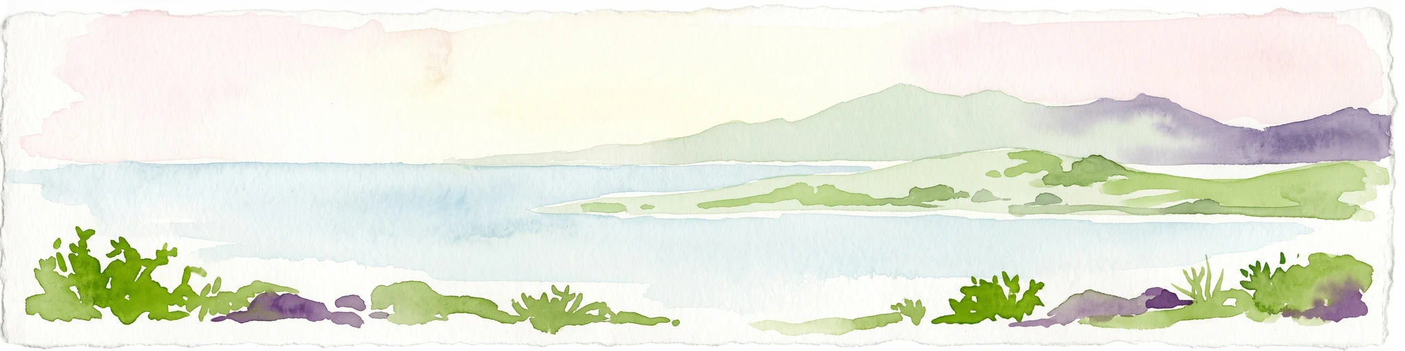
A horizontal watercolor painting depicting a pale blue coastal landscape with low green vegetation in the foreground and soft mountainous ridges in the distance.
Protected areaLasithi
About 68 km away#3 closest

Southwest

Chrysi Protected Area: Mapping the Juniper Forests and Beaches of Lasithi, Greece

A coastal island sanctuary in the Libyan Sea

Chrysi presents a distinct landscape characterized by a mature juniper forest and golden-sand beaches. Situated within the Lasithi regional unit, this island remains a primary example of a protected Mediterranean woodland environment, preserving a unique set of coastal terrain, shallow sea ecosystems, and archaeological history on a small geographic footprint.

Area
4.743 km²
Relief
Lowland
Climate
Mediterranean
Access
Easy access
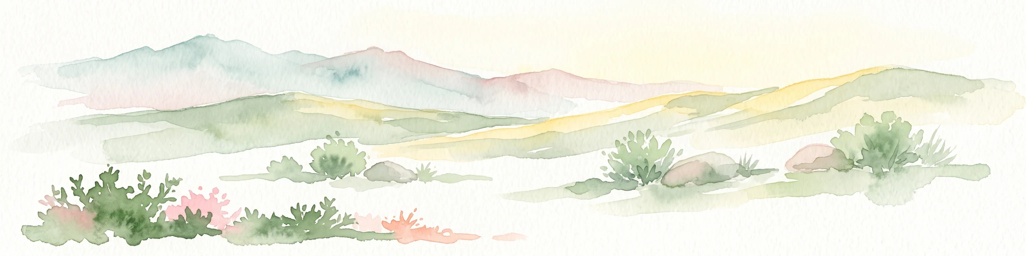
A horizontal watercolor painting showing soft, rolling mountains and sparse desert-like shrubbery in shades of light green, pale pink, and yellow.
Biosphere reserveCrete
About 121 km away#4 closest

West

Psiloritis Natural Park: Protected Karstic Mountains and Cultural Landscapes in Crete

Geological exploration and regional mountain geography

Psiloritis Natural Park encompasses the central massif of Crete, featuring the famous Mount Ida range. Its protected territory serves as an essential site for understanding karstic geology, from deep underground cave systems to high-altitude steppes. The region perfectly highlights the intersection between large-scale tectonic history and the long-standing human traditions that shape the mountainous interior of the island.

Area
1,159 km²
Established
2001
Relief
Mountain
Climate
Mediterranean
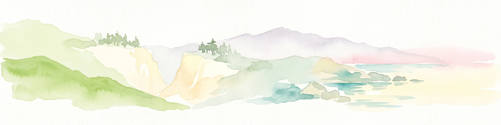
A watercolor painting showing a panoramic landscape with green hills, distant mountains, and water, set against a plain white background.
National parkGreece
About 202 km away#5 closest

West

Samaria National Park: Geological Landscape and Protected Area Atlas in Crete, Greece

Mapping the dramatic White Mountain canyon and coastal descent

Samaria National Park stands as a major protected landmark in Greece, defined by a tectonic gorge that bisects the White Mountains. This atlas entry covers the park boundary, the distinct vertical limestone cliffs of the Iron Gates, and the transition from mountain plateau to the Mediterranean coastline.

Area
4.848 km²
Established
1962
Relief
Mountain
Climate
Mediterranean
A soft watercolor illustration of green rolling hills and flat land against a pale, hazy background, representing a coastal island environment.
Nature reserveCrete
About 205 km away#6 closest

West

Agioi Theodoroi Nature Reserve: Protected Island Landscapes off the Coast of Crete

A vital wildlife sanctuary and historical island terrain

The nature reserve of Agioi Theodoroi comprises two small, rocky islands off the northwestern shore of Crete. Known for a long-established population of the rare kri-kri wild goat and breeding colonies of Eleonora's falcons, these islets maintain strict conservation status. Explore the mapped boundaries of this unique protected area and its significance within the coastal geography of the Chania region.

Area
0.697 km²
Established
1930
Relief
Upland
Climate
Mediterranean
Watercolor painting of a coastal landscape featuring green rolling hills, distant landmasses, and stylized shrubs and trees in the foreground against a white background.
Nature reserveCrete
About 241 km away#7 closest

West

Elafonisi Nature Reserve: Geography and Protected Landscape Analysis in Crete

Coastal dunes and limestone formations in southwestern Crete.

Elafonisi is a protected nature reserve situated in the southwestern reaches of Crete. This site encompasses a complex landscape of sand dunes, juniper-covered scrub, and rugged limestone terrain. By providing a clear look at the area, this atlas entry helps users understand the geographic setting, the ecological significance of the island, and the natural boundaries of this noteworthy Mediterranean conservation area.

Area
1.5 km²
Relief
Lowland
Climate
Mediterranean
Access
Easy access
National parkMuğla Province
About 242 km away#8 closest

Northeast

Marmaris National Park: Mediterranean Forest Protected Landscape and Ancient Heritage

Discover its geography, mapped boundaries, and unique flora.

Marmaris National Park in Muğla Province offers a deep dive into a protected Mediterranean forest ecosystem and Carian history. Explore its rugged terrain, dramatic coastlines where pine forests meet the sea, and discover ancient sites like the Amos amphitheatre. This park is a key area for understanding regional geography, mapped natural landscapes, and the unique botanical diversity of Turkey's southwestern coast, supporting detailed atlas exploration.

Area
333.5 km²
Established
1996
IUCN
II
Visitors
8.5M annual

Common questions about visiting, size, designation, and location context for Dionysades

Dionysades FAQs for park facts, access, geography, and protected area context

Find quick answers about Dionysades, including protected-area facts, park geography, trail and visitor context, and how the park fits into its surrounding country and regional landscape.
MoriAtlas Explorer

Continue Your Protected Areas Search Across the Global Atlas

Deepen your exploration by continuing the structured search for national parks and protected areas worldwide. Utilize the comprehensive filtering capabilities to compare different conservation landscapes and refine your understanding of global park geography. Discover more about the distribution and characteristics of protected natural areas.

Global natural geography