Mori Atlas logo
Park earthquake history

Explore recorded seismic events and geographic proximity data for this coastal wetland landscape.

Historical Earthquake Records and Seismic Activity Associated with Divjakë-Karavasta National Park

This historical catalogue documents seismic events recorded in the vicinity of Divjakë-Karavasta National Park. Each entry provides factual data derived from geological monitoring, including recorded earthquake magnitudes, epicentre locations, and depth measurements. Users can trace the relationship between these historical events and the park's coastal geography through precise distance calculations from its protected wetland boundaries.

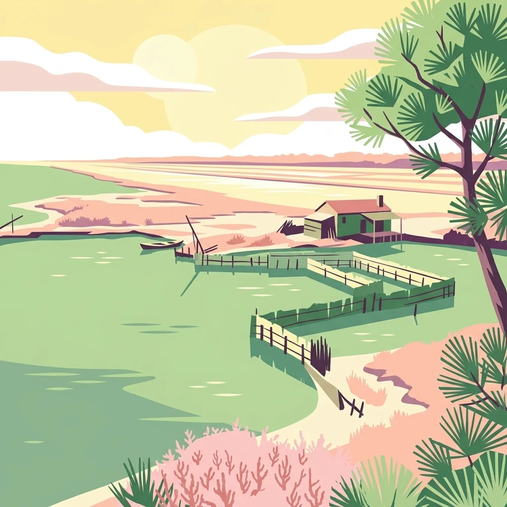
Stylized illustration of a coastal lagoon with a house, wooden fences, trees, and a small boat in the water under a partly cloudy sky

Albania's largest coastal wetland sanctuary and Ramsar-protected lagoon system

Divjakë-Karavasta National Park

Divjakë-Karavasta National Park is a protected coastal wetland area in western Albania, spanning the Myzeqe Plain near the Adriatic Sea. Established in 2007, the park encompasses approximately 222 square kilometers of remarkable habitats including lagoons, salt marshes, coastal meadows, floodplains, reed beds, and woodlands. The park's centerpiece is Karavasta Lagoon, one of the largest lagoons in the Mediterranean Sea and a designated Ramsar Wetland of international importance. The protected area lies within the Illyrian deciduous forests ecoregion and supports exceptional biodiversity, with 228 bird species, 25 mammal species, 29 reptile species, and 29 amphibian species recorded within its boundaries. The park is particularly significant as the only coastal breeding site for the globally endangered Dalmatian pelican along the Adriatic and Ionian Seas.

Location
Albania
Park type
National park
Established
2007
Area
222.3 km²
Divjakë-Karavasta National Park Protected Area

Compare Divjakë-Karavasta National Park dates, depths, places, and distances

Investigate earthquake history around Divjakë-Karavasta National Park

The Divjakë-Karavasta National Park catalogue associates earthquakes through epicentres and park distance, without treating each link as a boundary occurrence. Dates, magnitudes, depths, places, distance measurements, and source links support review without attributing lagoon, wetland, or coastal effects, assigning seismic cause, present hazard, or future activity.

Sort by
Magnitude
Location

This page describes catalogued earthquakes associated with the park by epicentre location and distance. It does not establish causation, assess current danger, or predict future earthquakes.

No earthquake records match the current filters

Park atlas

Continue beyond Divjakë-Karavasta National Park earthquake records in the atlas

Discover other parks after Divjakë-Karavasta National Park

Divjakë-Karavasta National Park's earthquake catalogue closes before readers leave western Albania's coastal wetlands, lagoon ecosystem, Ramsar site, and Mediterranean landscape for other parks. The following destinations do not imply shared national-park status, wetland habitat, recognition, proximity, geology, seismic evidence, hazards, risk, or comparable documentation.
Protected landscapeAlbania
About 40 km away#1 closest

South

Vjosa-Nartë Protected Landscape: Geographic Boundaries and Wetland Atlas of Albania

Coastal lagoons, saltpans, and Adriatic delta systems

Vjosa-Nartë Protected Landscape offers a deep look into Albania's coastal geography. The area features a striking interplay between the Vjosa River delta and the Narta Lagoon, framed by Mediterranean pine forests and shifting sand dunes. This atlas-focused resource maps the diverse terrain and ecological zones that characterize one of the most vital wetland corridors along the Adriatic Sea.

Area
161.246 km²
Established
2004
Relief
Lowland
Climate
Mediterranean
National parkAlbania
About 48 km away#2 closest

Northeast

Dajti Mountain National Park: Albania's Accessible Protected Mountain Landscape for Geographic Discovery

Explore the mapped terrain and diverse ecosystems of this significant national park.

Dajti Mountain National Park is a prime example of a protected mountain landscape central to Albania's geography. Situated near Tirana, its rugged karst topography, steep limestone ridges, and varied elevation create distinct ecological zones. This atlas-focused entry details the park's terrain, notable geological features like Pellumbas Cave, and its role as a significant protected area offering rich mapped landscape context.

Area
293.84 km²
Established
1966
IUCN
II
Relief
Mountain
Watercolor painting showing mountains, a river, and vegetation
National parkAlbania
48 km away#3 closest

Southeast

Tomorr Mountain National Park: Sacred Peak & Karst Protected Landscape in Albania

Explore Albania's dramatic mountain geography and protected areas.

Tomorr Mountain National Park offers a unique exploration of southern Albania's dramatic limestone anticline. Dominated by the sacred Mount Tomorr and featuring the spectacular Osum Canyon, this national park provides insight into karst terrain, old-growth forests, and significant biodiversity. Discover its mapped boundaries and regional geographic context within the Pindus Mountains for structured atlas exploration.

Area
271.855 km²
Established
1956
IUCN
II
Relief
Mountain
Watercolor scene featuring a blue lake, green trees, and mountains under a yellow-pink sky
National parkAlbania
About 51 km away#4 closest

South

Karaburun-Sazan Marine Park: A National Park with Dramatic Limestone Cliffs and Island Ecosystems

Explore Albania's protected coastline and marine geography.

Karaburun-Sazan Marine Park, Albania's sole national park, offers a profound exploration of a unique protected landscape. This marine protected area combines the rugged Karaburun Peninsula, characterized by high limestone cliffs, with Sazan Island, Albania's largest island, known for its distinct geology and subtropical climate. The park's waters are critical habitats for endangered species, making it a significant site for marine biodiversity and regional geographic study. Discover the mapped boundaries and ecological context of this vital protected area.

Area
124.377 km²
Established
2010
IUCN
II
Relief
Mixed relief
An abstract watercolor painting showing a horizontal landscape with grassy foreground and distant rolling hills in soft green, yellow, and purple tones.
Nature reserveDibër County
About 54 km away#5 closest

Northeast

Mali me Gropa-Bizë-Martanesh Nature Park: Karst Plateau and Mountain Geography in Central Albania

A diverse nature reserve in the heart of the Albanian highlands

This protected area features a unique mosaic of karst landscapes, including the distinctive Mali me Gropa plateau, alongside deep canyons and glacial features. It provides essential habitat for large carnivores and represents a vital ecological link within the mountain terrain of central Albania, offering a structured look at the region's vertical landscape zonation and natural monuments.

Area
252.66 km²
Established
2007
IUCN
IV
Relief
Mountain
A soft watercolor painting of a coastal landscape with green hills meeting a light, abstract water or shoreline, with faint mountains in the background.
Nature reserveVlorë County
About 54 km away#6 closest

South

Karaburun Peninsula Nature Reserve: Mapping the Coastal Karst and Marine Landscapes

Protected rugged cliffs in Vlorë County, Albania

Karaburun Peninsula is a significant protected area defined by high limestone ridges and a heavily indented western shoreline. The terrain features numerous sea caves, historic bays, and prominent headlands that descend directly into the sea. As a vital nature reserve, it preserves the natural integrity of this mountainous coastal stretch within Vlorë County, offering a clear geographic overview of one of Albania's most remote wilderness areas.

Area
62 km²
Relief
Mountain
Climate
Mediterranean
Access
Moderate access
Nature reserveAlbania
About 60 km away#7 closest

Northeast

Shtamë Pass Nature Park: Geographic Overview and Protected Mountain Landscape Map

Highland pine forests and freshwater corridors in Albania

Shtamë Pass Nature Park sits within the central Albanian mountains, providing a critical ecological link between coastal-inland gateway regions. The area protects a complex mosaic of alpine terrain, including clear mountain lakes, cold freshwater springs, and dense black pine forests that shelter brown bears and wolves. This protected zone offers a comprehensive view of regional highland geography and topography through its distinct mountain pass corridor.

Area
68.64 km²
Established
1996
IUCN
IV
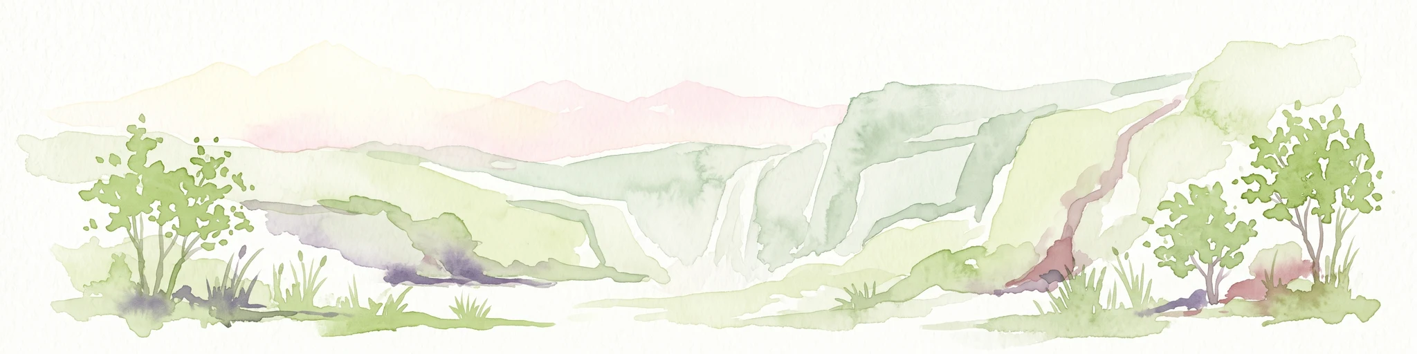
A pale, soft-hued watercolor illustration of a natural landscape featuring rolling hills, a small waterfall, and sparse trees on a white background.
Protected areaAlbania
About 60 km away#8 closest

Southeast

Bogovë Nature Park: Protected Limestone Hills and Waterfall Geography in Southern Albania

Regional protected area within the Balkan forest ecoregion

Bogovë Nature Park protects 330 hectares of diverse Mediterranean forest and dramatic limestone ravines. Central to its identity are the cascading waterfalls and karst topography that characterize this portion of the Pindus Mountains mixed forests ecoregion in southern Albania, providing a significant example of Balkan woodland preservation.

Area
3.3 km²
Established
1977
IUCN
IV
Relief
Mountain
MoriAtlas Explorer

Continue exploring the geographic context of Divjakë-Karavasta National Park

Understanding Divjakë-Karavasta National Park involves appreciating its unique position as a coastal wetland and its role within Albania's protected landscape network. Continue your atlas exploration to uncover the specific mapped features, regional geography, and ecological significance that define this important national park and its surrounding natural terrain.