
Mori Atlas logo
Nature reserveDürkheimer Bruch

A conservation-rich lowland landscape defined by the Isenach stream and seasonal wet meadows

Dürkheimer Bruch: Mapping the Protected Wetland and Salt Meadow Mosaic in Landkreis Bad Dürkheim

(FFH-Gebiet Dürkheimer Bruch)

Dürkheimer Bruch represents a vital protected landscape in Germany, serving as a mosaic of wet meadows, hedgerows, and inland salt marshes. Situated in the Palatinate region near Bad Dürkheim, this Natura 2000 site acts as a key ecological refuge. Its geography is defined by the flow of the Isenach stream, which sustains rare habitats for specialized birds, butterflies, and diverse riparian species.

wetland meadowinland salt meadowFFH areaNatura 2000 siteEuropean bird protection arealowland habitat mosaic
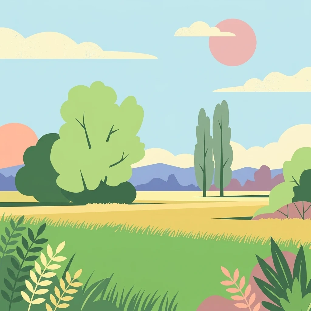
A flat, stylized illustration of a peaceful rural landscape with rolling green hills, tall trees, and a soft-colored sky with a pale pink sun.

Dürkheimer Bruch

Nature reserve

Park overview

Structured park overview, official facts, and landscape profile for Dürkheimer Bruch

Dürkheimer Bruch park facts, protected area profile, and essential visitor context

Review the core facts for Dürkheimer Bruch, including designation, size, terrain, visitor scale, habitats, and operating context in one park-focused overview.

About Dürkheimer Bruch

Dürkheimer Bruch is a compact protected landscape in the eastern Palatinate, in the German state of Rhineland-Palatinate. Although it covers less than seven square kilometers, it carries an unusually heavy weight of formal protection. It was confirmed by the European Union in 2005 as an FFH area, part of the Natura 2000 network that shields habitats and species of European importance. Much of its territory is also part of the broader landscape protection area of Bad Dürkheimer und Erpolzheimer Bruch, which has been in force since 1981. The two designations are not identical in extent, reflecting the layered way German conservation is administered on the ground.

Geographically, the site sits between the Verbandsgemeinde Maxdorf in the Rhein-Pfalz-Kreis and the city of Bad Dürkheim together with the Verbandsgemeinde Freinsheim in the Landkreis Bad Dürkheim. That administrative mosaic reflects the fragmented but interconnected character of the habitat itself. The Isenach stream threads through the area, while the surrounding terrain alternates between wet meadows, small running waters, hedgerows, shrubs, and isolated groups of trees. This kind of small-scale habitat mosaic is the structural backbone of the site's ecological value.

A particularly notable feature of Dürkheimer Bruch is the presence of inland salt meadows, an unexpected habitat type in this part of Germany. These saline patches add botanical and ecological variety to an otherwise typical lowland Palatinate wetland complex. The site's importance for birds is also formally recognized, as much of its territory is included in the Haardtrand European Bird Protection Area, giving it both habitat and species-level protection under European law.

The site is rich enough to support a broad range of rare fauna. Little owls, corn buntings, green woodpeckers, lapwings, red-backed shrikes, golden orioles, common stonechats, and corncrakes all find space here, along with natterjack toads, green toads, and agile as well as wall lizards. The butterfly fauna is similarly notable, including marsh fritillary relatives such as the large copper and the dusky large blue, an indicator of well-managed wet meadows. The combination of all of these features under a single small protected area is what gives Dürkheimer Bruch its disproportionate conservation significance.

Quick facts and research context for Dürkheimer Bruch

Dürkheimer Bruch is a 6.98 square kilometer protected area located in the Landkreis Bad Dürkheim and parts of the Rhein-Pfalz-Kreis, with its territory spanning the Verbandsgemeinde Maxdorf, the city of Bad Dürkheim, and the Verbandsgemeinde Freinsheim. The site was officially confirmed as an FFH area in 2005 and also forms part of the landscape protection area designated in 1981 as Bad Dürkheimer und Erpolzheimer Bruch.

The area is administered under IUCN Category IV as a habitat and species management area, and most of it overlaps with the Haardtrand European Bird Protection Area. Its defining landscape elements include alternating wet meadows, small running waters, hedgerows, shrubs, and isolated tree groups, together with the unusual inland salt meadows that make the site ecologically distinctive. Its identity code under the Natura 2000 network is DE6515301, with WDPA ID 555521572.

Protection and recognition

Terrestrial conservation framework and official Natura 2000 designations

Dürkheimer Bruch Protection Status and International Recognition Sources

Documented protection parameters for Dürkheimer Bruch outline its terrestrial scope and official Natura 2000 recognition framework. Conservation records trace the established boundary sources and administrative data supporting the protected area.

International recognition

Protection details

Protection scope
Terrestrial
Transboundary protection
No
WDPA ID
555521572
Park context

Deeper park guide and search-rich context for Dürkheimer Bruch

Dürkheimer Bruch history, landscape, wildlife, and travel context

Explore Dürkheimer Bruch through its history, landscape character, ecosystems, wildlife, conservation priorities, cultural context, and seasonal travel timing in a structured park guide built for atlas discovery and search intent.

Why Dürkheimer Bruch stands out

Dürkheimer Bruch is best known for being a small but ecologically rich wetland mosaic embedded in the agricultural and wooded landscape northeast of Bad Dürkheim. Its defining character comes from the alternating wet meadows threaded by the Isenach stream and bordered by hedgerows, shrubs, and scattered tree groups, which together create a richly structured habitat for rare birds, butterflies, amphibians, and reptiles. What makes it particularly distinctive in a regional context is the presence of inland salt meadows, an unusual habitat type well away from the coast. Combined with its formal status as a European Fauna-Flora-Habitat site and partial overlap with the Haardtrand bird protection area, the site stands out as a concentration point for threatened species in an otherwise intensively used Palatinate landscape.
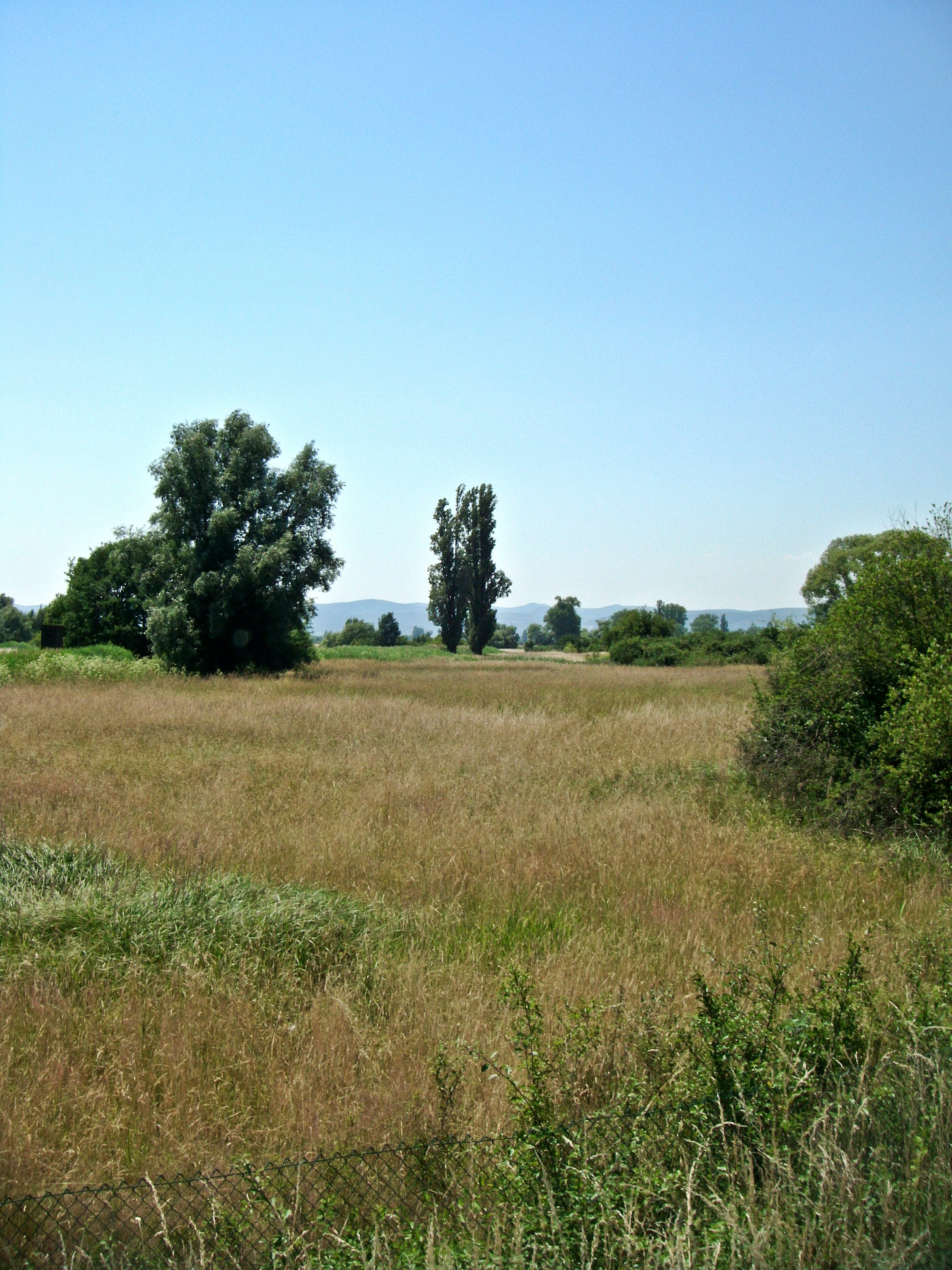
A sunny, open meadow featuring tall grasses and scattered trees under a clear blue sky, with a low wire fence visible in the immediate foreground.
A wide view of the meadow landscape in Dürkheimer Bruch.

Dürkheimer Bruch history and protected-area timeline

The history of Dürkheimer Bruch reaches back well beyond its modern conservation status. According to the historian Johann Georg Lehmann, the area belonged in 1035 to the Salian endowment property of Kloster Limburg. The abbot of Limburg granted the community of Dürkheim grazing rights on these lands at an early stage, and neighboring villages were later allowed to participate in those rights for a fee.

Each year on Whit Monday, an appointed rider would tour the grazing grounds to collect the dues owed. Because these payments frequently took the form of cheese as well as money, the rider became known as the Käskönig, the cheese king. Historian Michael Frey records that the miller at the Eyersheimer Mühle owed 15 Albus and one cheese, while the holder of the Eyersheimer Hof, which had inherited the obligations of the former village of Eyersheim, was required to pay 15 Albus and 32 cheeses. Karl Geib describes a rural celebration at the Eyersheimer Hof as the endpoint of the ride before the Käskönig returned to Bad Dürkheim. This tradition persisted until the end of the eighteenth century and is still remembered locally through the modern Käskönigfest.

In the modern era, the landscape received its first major formal protection in 1981, when the landscape protection area Bad Dürkheimer und Erpolzheimer Bruch was designated. The European Union confirmed a more focused designation in 2005 with the official recognition of the FFH-Gebiet Dürkheimer Bruch, anchoring it in the Natura 2000 network. In January 2024, the nature conservation association Pollichia received a donation of 0.9 hectares split across four parcels within the area, which are now being managed through low-intensity grazing or mowing by local farmers. Earlier in the decades following its formal protection, portions of the area have been under pressure from infrastructure development and intensive land uses, a tension that continues to shape its conservation history.

Dürkheimer Bruch landscape and geographic character

The landscape of Dürkheimer Bruch is a finely textured lowland mosaic rather than a dramatic or scenic expanse. Its character comes from soft transitions between wet meadows, small flowing watercourses, hedgerows, scattered bushes, and isolated groups of trees. This patchwork creates a richly structured environment where open and sheltered habitats sit very close to one another.

The Isenach stream is the central hydrological feature, flowing through the area and shaping the distribution of wet meadows along its course. Around its banks and across the broader terrain, alternating wet and dry conditions create what is locally described as wechselfeuchte Wiesen, meadows whose moisture levels change with the seasons. This dynamic hydrology is central to the site's character.

The most unusual landscape element of Dürkheimer Bruch is the presence of inland salt meadows, a feature more commonly associated with coastal regions. These saline patches stand out against the otherwise typical Palatinate lowland scenery and contribute to the botanical variety of the area. Together with the streams, hedgerows, and shrub blocks, they give the site its distinctive visual and ecological texture, in which small-scale variation is the dominant impression rather than large-scale topography.

Dürkheimer Bruch ecosystems, habitats, and plant life

Dürkheimer Bruch is structured around a habitat mosaic in which wet meadows, running waters, hedgerows, shrubs, and scattered trees form an interconnected ecological network. This small-scale complexity is what allows the area to support a wide range of species, including several that are rare elsewhere in the region. The hydrology of the Isenach stream and the surrounding meadows shapes the distribution of vegetation and creates alternating wet and damp conditions that favor specialized plants and animals.

Among the most unusual ecological features of the area are its inland salt meadows, an uncommon habitat type in inland Germany. These saline patches contribute specialized botanical conditions that, in turn, support distinctive invertebrate communities. The mixture of open meadows, semi-shrubby edges, and wooded groups further increases ecological variety, allowing meadow species, woodland species, and edge species to coexist within a single compact protected landscape.

The ecological profile of the area is also enriched by its inclusion in the Haardtrand European Bird Protection Area, which adds an explicit layer of bird-focused habitat protection. Combined with the FFH designation, this results in a site that is protected both as a habitat complex and as a refuge for specific species groups, including meadow birds, woodland birds, butterflies, amphibians, and reptiles.

Dürkheimer Bruch wildlife and species highlights

Dürkheimer Bruch hosts a remarkable concentration of protected fauna for such a small site, reflecting the diversity of its habitat mosaic. The area is particularly important for birds. The little owl, corn bunting, green woodpecker, lapwing, red-backed shrike, golden oriole, and common stonechat are characteristic breeders of varying habitat elements within the area, while the corncrake, a globally threatened meadow bird, has been recorded here as well. There have even been occasional breeding records of the short-eared owl and documented occurrences of the scops owl, underscoring the area's significance for owl conservation.

The site is also notable for reptiles and amphibians. The natterjack toad and the green toad find breeding habitat here, while the agile lizard and the wall lizard inhabit the warm, structured edges of meadows and hedgerows. Among the invertebrates, the site's wet meadows support butterfly species of strong conservation interest, including the Mazarine blue, the large copper, the dusky large blue, and the scarce large blue, all of which depend on the careful balance of meadow management and moisture.

Orthopterans are also well represented, with characteristic meadow species such as the field grasshopper, the meadow grasshopper, and the large marsh grasshopper indicating healthy grassland conditions. The presence of the narrow-mouthed whorl snail completes the picture of a site that supports a diverse and interconnected community of fauna, from soil-dwelling mollusks up through ground insects, amphibians, reptiles, and birds.

Dürkheimer Bruch conservation status and protection priorities

Dürkheimer Bruch is a key conservation site at multiple administrative levels. It carries formal European protection as an FFH area within the Natura 2000 network, and most of its territory is also part of the Haardtrand European Bird Protection Area, giving it dual species and habitat protection status. In addition, the broader landscape protection area Bad Dürkheimer und Erpolzheimer Bruch, which has been in force since 1981, surrounds and partly overlaps with the FFH zone, reinforcing the site's role as a long-term refuge for meadow birds, butterflies, amphibians, and reptiles.

The conservation importance of the area rests on its small-scale mosaic of wet meadows, streams, hedgerows, shrubs, and inland salt meadows, which together support species of European interest. The salt meadows in particular give the site a distinctive ecological value, as they are unusual inland habitats that cannot easily be replaced elsewhere in the region. The combination of formal Natura 2000 site DE6515301 and its older landscape protection status makes Dürkheimer Bruch an important node in the network of protected areas east of Bad Dürkheim.

The site has not been free of conservation challenges. Following its designation as an FFH area, several formerly breeding bird species such as the common snipe and the curlew have disappeared as breeders, and the skylark has been lost from parts of the western Bruch. Pressures include intensive horse-keeping, the construction of equestrian buildings and lighting masts, removal of hedges and trees, encroachment of the invasive Japanese knotweed, and unauthorized dumping of manure. In January 2024, the conservation association Pollichia received a gift of 0.9 hectares of land within the broader area, currently managed through extensive grazing or mowing, an example of locally driven conservation that complements the formal protective designations.

Dürkheimer Bruch cultural meaning and human context

Dürkheimer Bruch carries a strong local cultural memory beyond its ecological role. As early as 1035, the area formed part of the Salian endowment property of Kloster Limburg, and from a very early period the abbot of Limburg granted grazing rights in the Bruch to the community of Dürkheim and, in time, to neighboring villages.

These rights were once accompanied by an annual collection of dues on Whit Monday, carried out by an appointed rider who became known as the Käskönig because much of the payment was traditionally made in cheese. The Eyersheimer Mühle and the Eyersheimer Hof, which housed the inherited obligations of the former village of Eyersheim, were important stops on this route, and the ride ended at the Eyersheimer Hof with a rural celebration before the rider returned to Bad Dürkheim. Although this tradition had ended by the close of the eighteenth century, it is still commemorated today through the Käskönigfest in Bad Dürkheim, which keeps the area's pastoral heritage alive in contemporary local culture.

The cultural layer adds meaning to the landscape: the same meadows and paths that today support rare birds and butterflies have long been part of a traditional grazing economy, giving Dürkheimer Bruch a continuity of human presence that stretches back nearly a millennium.

Top sights and standout views in Dürkheimer Bruch

A small but conservation-rich Natura 2000 site east of Bad Dürkheim, noted for its inland salt meadows and the Isenach stream corridor. Defined by a finely structured mosaic of wet meadows, hedgerows, shrubs, and scattered trees that supports many protected species. Officially designated as an FFH area in 2005 and partly overlaps with the Haardtrand European Bird Protection Area, giving it both habitat and species protection. Supports distinctive breeding birds such as the corncrake, little owl, golden oriole, and red-backed shrike, alongside notable butterflies including the large copper and the dusky large blue. Carries a deep local cultural memory through the historical Käskönig tradition, still remembered today in the Bad Dürkheim Käskönigfest.

Best time to visit Dürkheimer Bruch

The best time to experience the character of Dürkheimer Bruch is during the warmer months of late spring and early summer, when the alternating wet meadows are at their most visually rich and the breeding bird season is at its peak. Spring draws migrating and breeding birds into the area, while early summer is when the mosaic of meadows and hedgerows is fully in bloom and butterfly diversity, including the distinctive large copper and the dusky large blue, is most apparent.

Autumn and winter bring a quieter atmosphere to the area, with lower bird activity and a calmer landscape feel, but the structural elements of the habitat, the Isenach stream, hedgerows, and the unusual inland salt meadows, remain visible year-round. Visitors interested in specific seasonal phenomena, such as breeding meadow birds or butterfly flight periods, will find late spring and early summer the most rewarding windows, while those interested in the broader landscape character may appreciate the open and quiet conditions of the colder months.


Monthly climate preview

Long-term representative point measurements for Dürkheimer Bruch weather by month

Dürkheimer Bruch Climate Normals, Annual Temperature and Precipitation Rhythm

Representative coordinate records outline the measured annual temperature and precipitation rhythm across Dürkheimer Bruch from 1991 to 2020. Detailed monthly normals provide deeper insight into temperature ranges and daily precipitation averages for this protected terrain.
Annual mean10 °C
0 °C20 °C
Jan
Feb
Mar
Apr
May14°
Jun18°
Jul20°
Aug20°
Sep15°
Oct10°
Nov
Dec
Warmest month
July

20.4 °C

Coolest month
January

0.3 °C

Wettest month
July

2.2 mm/day

Driest month
April

1.4 mm/day

Park location guide

Geography guide, regional context, and park location map for Dürkheimer Bruch

Dürkheimer Bruch park geography, regions, and map view in Germany

Understand where Dürkheimer Bruch sits in Germany through a broader geographic reading of the surrounding landscape, nearby location context, and its mapped position within the national park landscape.

How Dürkheimer Bruch fits into Germany

Germany is a federal republic in Western and Central Europe with a population of over 83 million across sixteen constituent states. It is Europe's largest economy by nominal GDP and a major global exporter and importer. The capital is Berlin, and the country borders Denmark, Poland, Czech Republic, Austria, Switzerland, France, Luxembourg, Belgium, and the Netherlands.

Wider geography shaping Dürkheimer Bruch in Germany

Germany is located in Western and Central Europe, spanning 357,022 km². It borders Denmark to the north, Poland and the Czech Republic to the east, Austria and Switzerland to the south, and France, Luxembourg, Belgium, and the Netherlands to the west. The country has coastlines on the Baltic Sea and North Sea to the north, with the Alps located in the southern region.

Map view of Dürkheimer Bruch

Use this park location map to pinpoint Dürkheimer Bruch in Germany, understand its exact geographic position, and read its mapped placement within the surrounding landscape more clearly.

Pigeon | © OpenStreetMap contributors

Location context for Dürkheimer Bruch

Landkreis Bad Dürkheim
Recorded earthquake history

Explore the Historical Earthquake Records for Dürkheimer Bruch

Review documented seismic events associated with the geography of Dürkheimer Bruch. This collection offers a clear look at historical tremor data, including magnitudes and epicentre locations, to support geographic discovery of the regional landscape through MoriAtlas.

Dürkheimer Bruch Earthquake History

Catalogued events

17 events

Strongest magnitude

Magnitude 3.6

Most recent event

May 17, 2014

This history includes earthquakes recorded inside the park or within 50 km of its borders

Visual reference collection highlighting wet meadows, salt flats, and Isenach stream terrain

Explore Dürkheimer Bruch Photos, Landscape Scenery, and Protected Habitats

Visual documentation captures the fine lowland mosaic of wet meadows, hedgerows, and inland salt flats that define the protected environment of Dürkheimer Bruch. Photographic records provide clear visual context for understanding habitat transitions and conservation features across the Palatinate landscape.

A sunny, open meadow featuring tall grasses and scattered trees under a clear blue sky, with a low wire fence visible in the immediate foreground.

Park atlas

Compare adjacent wetland reserves and connected lowland protected landscapes

Parks Near Dürkheimer Bruch and Protected Areas in the Surrounding Region

Browsing other protected areas near Dürkheimer Bruch reveals broader ecological patterns across the Palatinate lowland mosaic. Expanding beyond individual wetland sites connects regional stream corridors and specialized habitat reserves into a wider geographic view.
A soft, light watercolor painting of a rolling rural landscape featuring rows of vineyards in the foreground and tree-covered hills in the distance.
Nature reserveRheinland-Pfalz
Park boundaries overlap#1 closest

South

Haardtrand Nature Reserve: Geographic Overview and Protected Landscape Mapping

Bird protection area within the Rheinland-Pfalz region.

Spanning roughly 14,700 hectares, Haardtrand serves as a critical link between the Palatinate Forest and the Rhine valley. This nature reserve is composed of a distinctive mosaic of habitat types, including mature broadleaf woodlands, traditional orchard meadows, and sandy terraces, which together create a highly structured environment for diverse raptors and forest-dwelling bird species.

Area
147.28 km²
Established
2004
A watercolor painting showing a soft, panoramic landscape of rolling hills, scattered trees, and grassland on a white background.
Nature reserveRhineland-Palatinate
About 2.8 km away#2 closest

Northwest

Felsenberg-Berntal Nature Reserve: Mapped Protected Landscapes in Rhineland-Palatinate

Geographic analysis of dry grasslands and forest transition zones.

Felsenberg-Berntal is a distinguished nature reserve that defines the transition from forested uplands to open vine country. This site preserves unique limestone and tertiary rock formations that host steppe-like vegetation and diverse insect populations, serving as a landmark example of ecological restoration in the Haardtrand region of western Germany.

Area
3 km²
Established
2000
IUCN
IV
Relief
Upland
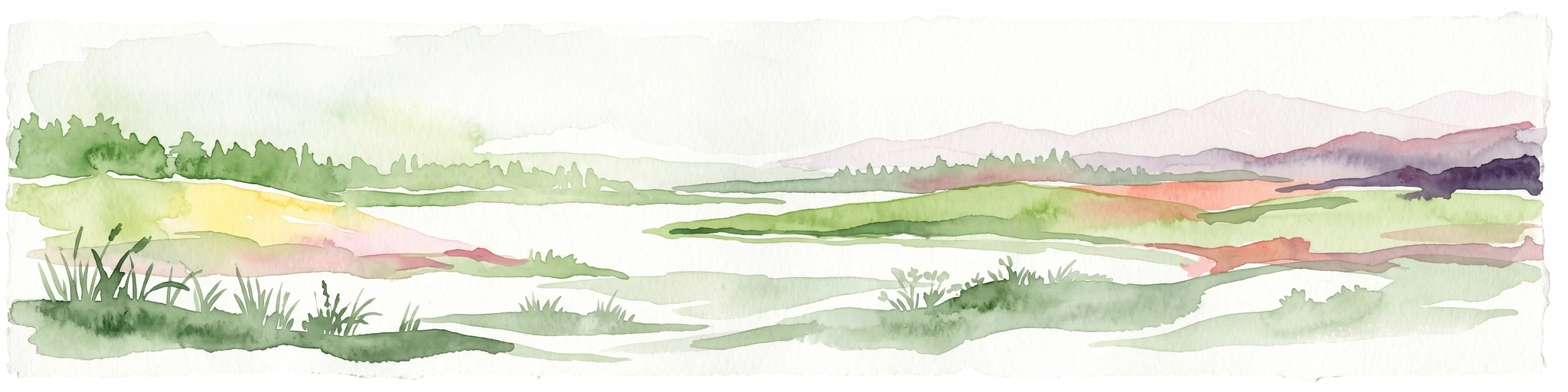
A horizontal watercolor painting showing a soft, abstract landscape with patches of green forest, yellow meadows, and pale pink marshland against a light background.
Nature reserveRheinland-Pfalz
About 4.8 km away#3 closest

Southwest

Forster Bruch Nature Reserve: Geography and Protected Habitat Mapping in Rhineland-Palatinate

Ecological transition zone between forest slopes and agricultural loess plains.

Forster Bruch represents a rare surviving patch of Feuchtgrünland, providing a essential refuge for meadow-dwelling birdlife within the highly cultivated landscape of the Palatinate. This protected area highlights the intersection of historic rail infrastructure and natural wetland restoration, serving as a distinct geographic landmark that contrasts sharply with the surrounding vineyards and forested Haardtrand slopes.

Area
0.49 km²
Established
2008
IUCN
IV
Relief
Lowland
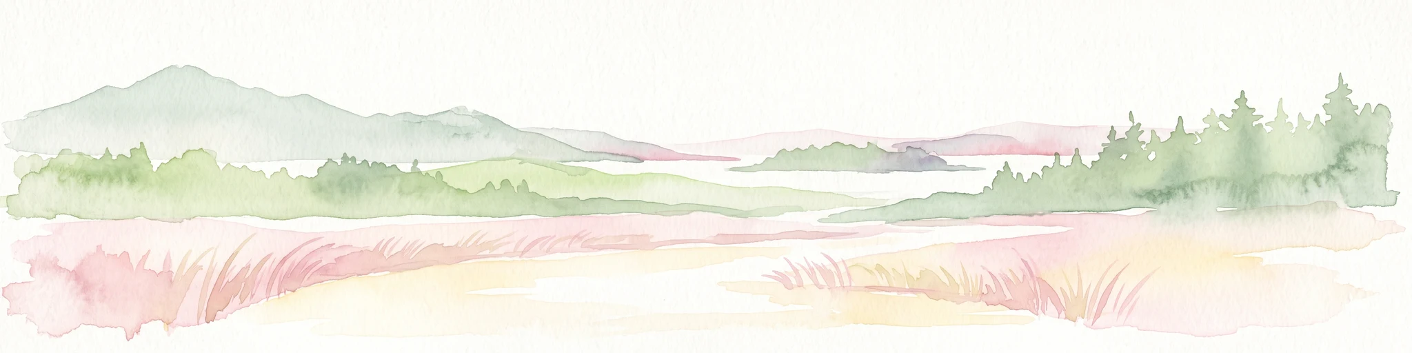
A minimalist watercolor illustration of a wetland scene with soft green hills in the distance, a central water body, and faint pink and green vegetation in the foreground against a white background.
Protected areaRhineland-Palatinate
About 7.5 km away#4 closest

East

Maudacher Bruch: Protected Wetland and Historical Meander in Rhineland-Palatinate

Mapping the urban marshes and meadows of Ludwigshafen

Maudacher Bruch is a significant protected area in Rhineland-Palatinate, defined by its origin as an ancient silted-up meander of the River Rhine. This horseshoe-shaped landscape sustains diverse wetland habitats and serves as a natural counterpoint to the surrounding industrial city. Explore its complex geography, from the central marshland meadows and ponds to the elevated views across the Upper Rhine Plain.

Area
5.23 km²
Relief
Lowland
Climate
Temperate
Access
Easy access
A horizontal watercolor illustration depicting a calm lake with grassy foreground reeds and distant soft purple hills under a clear sky.
Nature reserveRhineland-Palatinate
About 11 km away#5 closest

South

Mußbacher Baggerweiher Nature Reserve in the Rhineland-Palatinate Protected Landscape Atlas

Wetland habitat mosaic and post-industrial geography

Mußbacher Baggerweiher stands as a textbook example of industrial recovery, where a former extraction site for motorway construction transformed into a thriving protected wetland. Situated in the eastern reaches of Neustadt an der Weinstraße, the reserve offers a dense mosaic of shoreline habitats, sheltered water, and small islands that contribute significantly to regional conservation in the Upper Rhine Plain.

Area
0.205 km²
Established
1989
Watercolor painting of a rolling landscape with green fields, forested hills in the distance, and soft hazy lighting.
Nature reserveRheinland-Pfalz
About 12 km away#6 closest

Southwest

Drachenfels Nature Reserve: Geography and Protected Landscapes of the Palatinate Forest

A sandstone summit and protected ecosystem in Rheinland-Pfalz

The Drachenfels massif is a classic blocky sandstone summit located in the Palatinate Forest, characterized by its 13-hectare protected summit plateau and weathered rock outcrops. This area provides a look into the region's complex sedimentary history, where Bunter sandstone cliffs meet dense forest slopes. The site serves as a distinct landmark within the broader landscape of the Middle Palatinate Forest, showcasing geological features and natural terrain patterns that define the local environment.

Area
0.125 km²
Established
1972
Relief
Mountain
Climate
Temperate
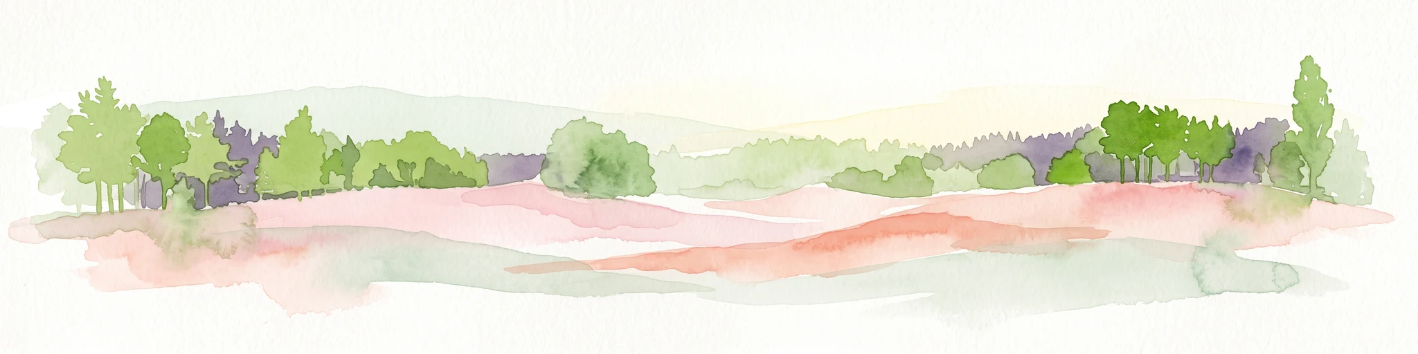
A pale, soft watercolor painting showing a flat, grassy landscape with distant rolling hills and patches of trees.
Nature reserveRhineland-Palatinate
About 13 km away#7 closest

East

Pfälzische Rheinauen Nature Reserve: Protected Alluvial Landscapes in Rhineland-Palatinate

Regional floodplain geography and protected area map context

The Pfälzische Rheinauen is a major landscape protection area encompassing a mosaic of habitats along the Upper Rhine. From the Haardt mountains eastward, this region features rare alluvial forests, reclaimed gravel pit lakes, and complex river systems. It remains a focal point for understanding the integration of floodplain biodiversity with long-standing human activity in Western Germany.

Area
208.33 km²
Established
1971
Relief
Lowland
Climate
Temperate
A horizontal watercolor painting showing a stylized, soft-focus forest landscape with green trees against a pale, warm-toned ground.
Protected areaRhineland-Palatinate
13 km away#8 closest

South

Speyerer Wald: Protected Alluvial Forest and Inland Sand Dune Landscape

Regional geography and protected area context in Rhineland-Palatinate.

Speyerer Wald offers a look into the formation of Rhine Plain alluvial fans and the survival of forest ecosystems on poor, sandy soils. This protected expanse showcases the intersection of inland dunes, dry sand grasslands, and riparian stream corridors. It serves as a key case study in regional landscape evolution, highlighting how ice age deposits continue to dictate current habitat distribution and nature conservation priorities.

Established
1981
Relief
Lowland
Climate
Temperate
Access
Easy access

Common questions about visiting, size, designation, and location context for Dürkheimer Bruch

Dürkheimer Bruch FAQs for park facts, access, geography, and protected area context

Find quick answers about Dürkheimer Bruch, including protected-area facts, park geography, trail and visitor context, and how the park fits into its surrounding country and regional landscape.
MoriAtlas Explorer

Continue Your Protected Areas Search Across the Global Atlas

Deepen your exploration by continuing the structured search for national parks and protected areas worldwide. Utilize the comprehensive filtering capabilities to compare different conservation landscapes and refine your understanding of global park geography. Discover more about the distribution and characteristics of protected natural areas.

Global natural geography