
Mori Atlas logo
Nature reserveEndmoränenlandschaft bei Ringenwalde

Tracing the ridge and lake mosaic within the Schorfheide-Chorin protected biosphere

Endmoränenlandschaft bei Ringenwalde Nature Reserve: A Glacial Landscape Atlas in Uckermark

Endmoränenlandschaft bei Ringenwalde sits as a key nature reserve in the Uckermark district of Brandenburg, showcasing an exceptionally preserved end moraine terrain. This protected area features a complex mosaic of glacial ridges, hummocky relief, and interconnected lakes, providing a detailed look at the geomorphological legacy of the last ice age. Visitors can study the structural relationship between near-natural forest communities and the varied topography that defines this significant northeast German landscape.

end moraineglacial landscapenature reserveBrandenburgUckermarkSchorfheide-Chorin Biosphere Reserve
A flat-style digital illustration of a scenic mountain valley featuring cliffs, a waterfall, coniferous trees, and ferns.

Endmoränenlandschaft bei Ringenwalde

Nature reserve

Park overview

Structured park overview, official facts, and landscape profile for Endmoränenlandschaft bei Ringenwalde

Endmoränenlandschaft bei Ringenwalde park facts, protected area profile, and essential visitor context

Review the core facts for Endmoränenlandschaft bei Ringenwalde, including designation, size, terrain, visitor scale, habitats, and operating context in one park-focused overview.

About Endmoränenlandschaft bei Ringenwalde

Endmoränenlandschaft bei Ringenwalde is a nature reserve located in the Uckermark district of Brandenburg, in the northeastern German state of Brandenburg. It is situated on the territory of the municipality of Temmen-Ringenwalde, south of Götschendorf, a village belonging to the municipality of Milmersdorf. The reserve occupies about 569 hectares of forested, lake-rich terrain that lies entirely within the larger Schorfheide-Chorin Biosphere Reserve, one of the most important protected landscape areas of eastern Germany.

The defining feature of the reserve is its end moraine landscape, a terrain type formed during the retreat of the last Pleistocene glaciers. End moraines mark the furthest extent of a glacier's advance for a particular stage of glaciation, and when ice masses later retreated, they left behind characteristic ridges, hills, depressions, and basins. The Ringenwalde area is regarded as a particularly typical example of this landscape type, with its mosaic of forested ridges, small hollows, and clear lakes puncturing the woodland.

Several lakes frame and enrich the reserve. To the west lies the Lübelowsee, while the Kleiner Krinertsee and the Großer Krinertsee sit to the northeast. Within the reserve itself is the Libbesickesee. Together with interconnecting forest habitats, these water bodies form the ecological backbone of the protected area. The Landesstraße L 73 passes through the territory, giving the reserve a long, extended shape across the glacial relief.

Ecologically, the area is dominated by near-natural forest communities, a key reason for its protected status. These forests grow on varied moraine soils and connect lakes, wet depressions, and dry ridges into a continuous ecological network. Through its integration into the Schorfheide-Chorin Biosphere Reserve, Endmoränenlandschaft bei Ringenwalde contributes to the broader conservation of glacial landscape features and forest ecosystems in northeastern Brandenburg.

Quick facts and research context for Endmoränenlandschaft bei Ringenwalde

Endmoränenlandschaft bei Ringenwalde is a designated nature reserve (Naturschutzgebiet) in the municipality of Temmen-Ringenwalde, in the Uckermark district of Brandenburg, Germany. It lies inside the Schorfheide-Chorin Biosphere Reserve, one of the largest protected landscape complexes in northeastern Germany.

The area was formally placed under protection in October 1990 and carries the official designation number 1052. It was established to conserve near-natural forest habitats in a particularly well-developed end moraine landscape, as well as for reasons of regional and earth-history significance.

Protection and recognition

Examine official designation records, boundary data, and international recognition sources.

Endmoränenlandschaft bei Ringenwalde Protection Status and Natura 2000 Recognition

Endmoränenlandschaft bei Ringenwalde holds documented protection status supported by official Natura 2000 recognition records and global database identifiers. Professional researchers and conservation analysts examine these verified designation frameworks and boundary datasets for regional context.
Park context

Deeper park guide and search-rich context for Endmoränenlandschaft bei Ringenwalde

Endmoränenlandschaft bei Ringenwalde history, landscape, wildlife, and travel context

Explore Endmoränenlandschaft bei Ringenwalde through its history, landscape character, ecosystems, wildlife, conservation priorities, cultural context, and seasonal travel timing in a structured park guide built for atlas discovery and search intent.

Why Endmoränenlandschaft bei Ringenwalde stands out

The reserve is best known for protecting a classic, well-preserved end moraine landscape in the Uckermark region of Brandenburg. Its terrain reflects the shaping influence of the Pleistocene ice sheets and showcases the characteristic hummocky relief, lakes, and forest cover typical of such glacial landforms. In addition to its glacial geomorphology, the area is recognized for its near-natural forest communities. These woodlands, growing on moraine soils and around small glacial lakes, form the ecological backbone of the protected area and underline why the region was designated as a nature reserve within the Schorfheide-Chorin Biosphere Reserve.
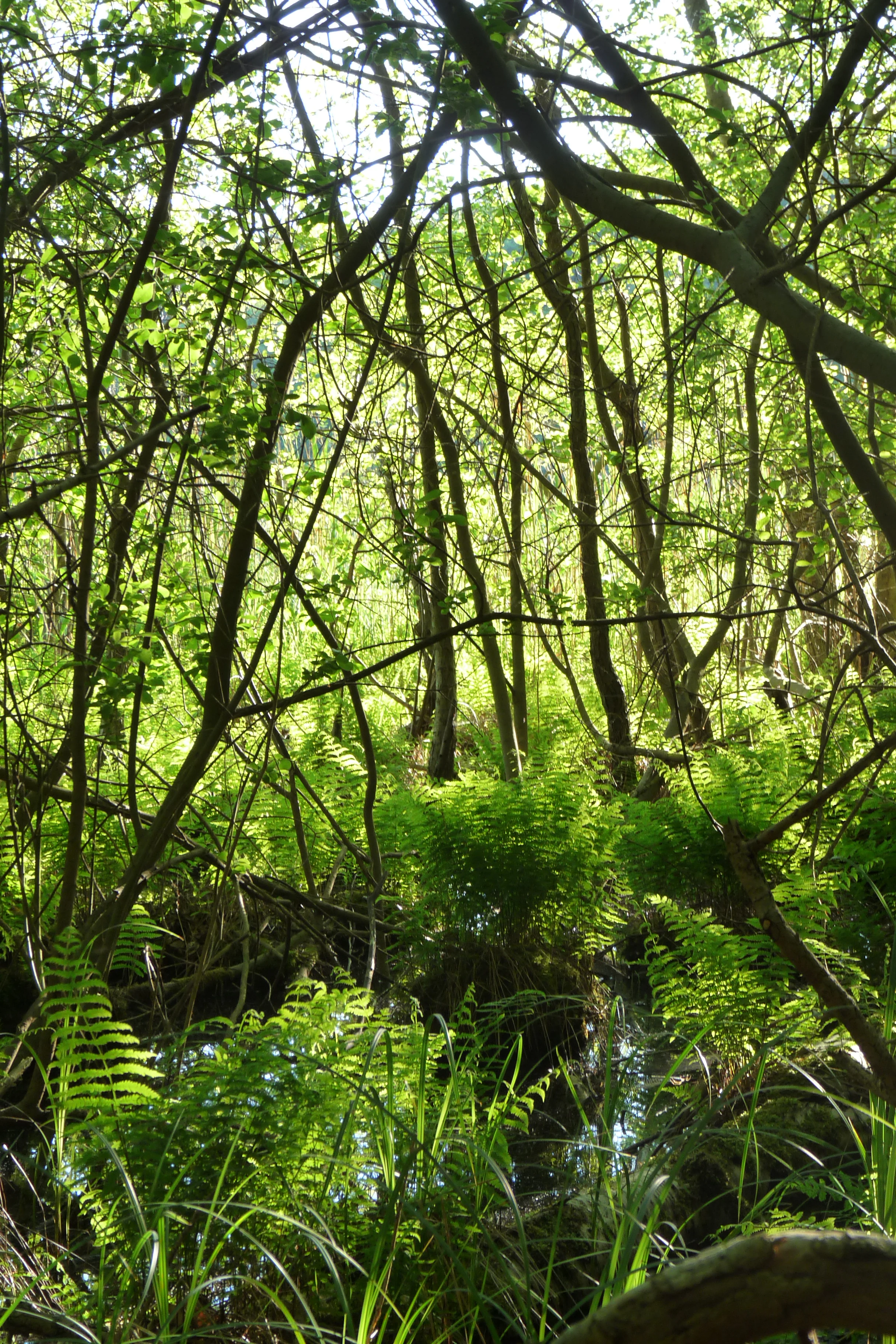
A dense, sunlit forest scene with ferns in the foreground and thin tree trunks reflecting light, suggesting a marshy or lakeside environment.
Lush vegetation and trees along the shore of Proweskesee in the Endmoränenlandschaft bei Ringenwalde nature reserve.

Endmoränenlandschaft bei Ringenwalde history and protected-area timeline

Endmoränenlandschaft bei Ringenwalde was formally designated as a nature reserve on 1 October 1990. Its establishment came at the moment of German reunification, when many ecologically valuable landscapes in the former East Germany received formal protection status for the first time or were reclassified under unified frameworks.

The reserve was created by ordinance within the founding designation of the larger Schorfheide-Chorin Biosphere Reserve, a key step toward consolidating large-scale nature conservation in the Uckermark region. Its foundation reflects both the ecological value of the glacial landforms and forests on site, and the regional push to safeguard representative post-glacial landscapes in eastern Germany. Since its designation, the reserve has remained part of the Schorfheide-Chorin Biosphere Reserve framework, securing its long-term role in regional conservation.

Endmoränenlandschaft bei Ringenwalde landscape and geographic character

The landscape of Endmoränenlandschaft bei Ringenwalde is a textbook example of an end moraine terrain. The topography is shaped by the advance and retreat of Pleistocene glaciers, leaving behind a mosaic of ridges, hilltops, and shallow depressions that give the area its distinctive undulating character. Rather than a flat plain, the reserve shows the hummocky relief typical of young glacial landscapes in northern Germany.

Lakes are integral to this terrain and interlock with the forested ridges. The Libbesickesee lies within the reserve, while the Lübelowsee borders it to the west, and the Kleiner Krinertsee and the larger Großer Krinertsee sit to the northeast. The arrangement of ridges and basin lakes creates a varied micro-relief in which dry upper slopes and lower moist hollows exist in close proximity.

Forest cover dominates the visible landscape, with woodland stretching across the moraine ridges and reaching down toward the lake edges. The Landesstraße L 73 cuts through the reserve, lengthening it as a corridor of protected land and reinforcing the elongated shape of the protected area. Overall, the geography of the reserve reads clearly as a glacial landscape: a forested, lake-studded ridge-and-hollow system shaped by ice.

Endmoränenlandschaft bei Ringenwalde ecosystems, habitats, and plant life

Ecologically, the reserve is centered on near-natural forest communities that have developed on the glacial substrates of the end moraine. Because the terrain alternates between higher, drier ridges and lower, moister hollows, the forests here form a varied mosaic rather than a uniform stand. This diversity of site conditions allows different woodland communities to coexist across relatively short distances.

The presence of multiple lakes increases habitat variety further. The Libbesickesee within the reserve, together with the surrounding Lübelowsee and the Krinertseen, introduces aquatic and wetland habitats alongside the dominant forest. Wet depressions between moraine ridges create transitional habitats that connect forest to open water.

Through its integration into the Schorfheide-Chorin Biosphere Reserve, Endmoränenlandschaft bei Ringenwalde contributes to a much larger ecological network covering glacially formed landscapes of the Uckermark. The reserve essentially serves as a representative forest and lake habitat within a regional conservation framework that links many such sites across northeastern Brandenburg.

Endmoränenlandschaft bei Ringenwalde conservation status and protection priorities

Endmoränenlandschaft bei Ringenwalde was established to preserve near-natural forest communities in a particularly characteristic end moraine landscape, and to document and protect the regional geoscientific value of this glacial terrain. Both ecological and earth-history considerations were cited in the founding ordinance, reflecting the unusually complete glacial forms present here.

By becoming part of the Schorfheide-Chorin Biosphere Reserve, the reserve now also functions as a component of a broader conservation system spanning the Uckermark and surrounding areas. Its IUCN Category IV designation, Habitat/Species Management Area, emphasizes active habitat protection rather than strict wilderness, aligning with the biosphere reserve's mix of core zones, management zones, and cultural landscape. Its inclusion in international databases such as the World Database on Protected Areas confirms its recognized status beyond Germany.

The reserve's conservation importance lies in maintaining a representative section of post-glacial forest and lake landscape that would otherwise be vulnerable to forestry pressure, lake-level change, or development. By keeping forest habitats intact around moraine lakes, the protected area safeguards breeding, feeding, and resting conditions for forest and water-associated species typical of northeastern Germany.

Top sights and standout views in Endmoränenlandschaft bei Ringenwalde

The reserve's strongest identity comes from its exceptionally typical end moraine morphology, where glacial ridges and lake basins form a coherent, well-preserved glacial landscape. The combination of the Libbesickesee within the reserve and the neighboring Lübelowsee and Krinertseen makes it a particularly lake-rich component of the Schorfheide-Chorin Biosphere Reserve.

Another highlight is the dominance of near-natural forest communities growing directly on glacial substrates. Because the forest has been allowed to develop largely undisturbed across varied moraine terrain, the reserve offers a vivid illustration of how post-glacial forests in Brandenburg have evolved in close interaction with their underlying landforms.

Best time to visit Endmoränenlandschaft bei Ringenwalde

Endmoränenlandschaft bei Ringenwalde is best appreciated in the warmer months of late spring and summer, when forest trails are accessible and the lakes are at their most inviting. This period offers the most comfortable conditions for exploring the glacial ridges and woodland paths typical of Uckermark landscapes.

In autumn, the broadleaf elements of the mixed moraine forests produce strong color changes across the undulating terrain, while winter can bring a quieter atmosphere and clearer views across the open lake surfaces, though trail conditions are more demanding. Because the reserve falls within a larger biosphere framework rather than a high-traffic national park, visits tend to be quiet and experience-led in any season, rather than time-critical.

Monthly climate preview

Long-term representative averages for monthly temperature and precipitation rhythm

Endmoränenlandschaft bei Ringenwalde Climate Normals and Temperature Patterns

Historical data recorded between 1991 and 2000 reveals documented temperature ranges and daily precipitation rates across the sampled coordinate. Examining the full twelve-month profile provides deeper statistical insight into regional atmospheric cycles.
Annual mean9 °C
-1 °C20 °C
Jan-1°
Feb
Mar
Apr
May13°
Jun17°
Jul20°
Aug19°
Sep15°
Oct
Nov
Dec
Warmest month
July

19.5 °C

Coolest month
January

-1 °C

Wettest month
July

2.5 mm/day

Driest month
April

1.1 mm/day

Park location guide

Geography guide, regional context, and park location map for Endmoränenlandschaft bei Ringenwalde

Endmoränenlandschaft bei Ringenwalde park geography, regions, and map view in Germany

Understand where Endmoränenlandschaft bei Ringenwalde sits in Germany through a broader geographic reading of the surrounding landscape, nearby location context, and its mapped position within the national park landscape.

How Endmoränenlandschaft bei Ringenwalde fits into Germany

Germany is a federal republic in Western and Central Europe with a population of over 83 million across sixteen constituent states. It is Europe's largest economy by nominal GDP and a major global exporter and importer. The capital is Berlin, and the country borders Denmark, Poland, Czech Republic, Austria, Switzerland, France, Luxembourg, Belgium, and the Netherlands.

Wider geography shaping Endmoränenlandschaft bei Ringenwalde in Germany

Germany is located in Western and Central Europe, spanning 357,022 km². It borders Denmark to the north, Poland and the Czech Republic to the east, Austria and Switzerland to the south, and France, Luxembourg, Belgium, and the Netherlands to the west. The country has coastlines on the Baltic Sea and North Sea to the north, with the Alps located in the southern region.

Map view of Endmoränenlandschaft bei Ringenwalde

Use this park location map to pinpoint Endmoränenlandschaft bei Ringenwalde in Germany, understand its exact geographic position, and read its mapped placement within the surrounding landscape more clearly.

Pigeon | © OpenStreetMap contributors

Location context for Endmoränenlandschaft bei Ringenwalde

BrandenburgLandkreis Uckermark

Visual exploration of forest communities, moraine ridges, and lake basins in Brandenburg

Endmoränenlandschaft bei Ringenwalde Photos and Glacial Landscape Scenery

Visual documentation captures the undulating relief, forested ridges, and interlocked glacial lakes defining Endmoränenlandschaft bei Ringenwalde. Examining field photography reveals the complex topography and near-natural woodland habitats formed by Pleistocene ice sheets across the Uckermark region.

A dense, sunlit forest scene with ferns in the foreground and thin tree trunks reflecting light, suggesting a marshy or lakeside environment.

Park atlas

Compare regional glacial landscapes and connected protected terrain across Uckermark

Parks Near Endmoränenlandschaft bei Ringenwalde: Protected Areas in the Region

Browsing other parks near Endmoränenlandschaft bei Ringenwalde reveals the broader ecological network of protected landscapes across northeastern Germany. Comparing these glacial terrains provides essential geographical context for understanding regional forest reserves and basin lake systems.
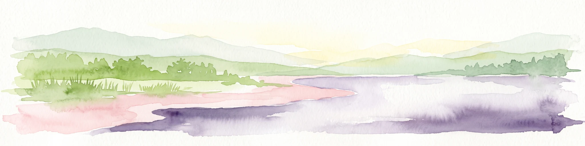
A soft watercolor illustration of a lake landscape with calm water, a green tree-lined shore, and gently rolling hills in the background.
Nature reserveBrandenburg
Park boundaries overlap#1 closest

Northeast

Krinertseen Nature Reserve: Protected Glacial Lakes and Bog Landscapes in Brandenburg

Essential geographic data for the Uckermark wetland conservation area.

Krinertseen provides a concentrated view of Brandenburg's post-glacial terrain. This nature reserve serves as an ecologically significant area defined by mesotrophic-alkaline lakes and active lake-succession mires. The site acts as a key component of the wider Schorfheide-Chorin conservation network, showcasing the complex relationship between regional hydrology and protected forest ecosystems.

Area
3.51 km²
Established
1990
IUCN
IV
Relief
Lowland
Nature reserveBrandenburg
1.2 km away#2 closest

South

Winkel Nature Reserve: Glacial Landscape and Wetland Geography in Brandenburg, Germany

Mapping kettle-hole basins and moraine terrain

Winkel Nature Reserve serves as a vital protected area for studying the hydrological character of the Uckermark. The reserve features a dense network of small, water-filled kettle holes formed by melting glacial ice. This geographic record explores the interconnected wetland habitats and ground moraine surfaces that define this sensitive protected landscape in northeastern Germany.

Area
1.45 km²
Established
1990
IUCN
IV
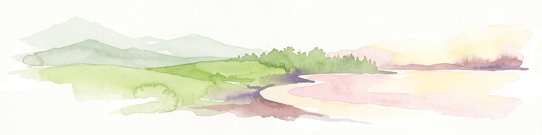
A soft, artistic watercolor painting of a green landscape leading to a lake, with rolling hills in the background and soft morning or evening light.
Nature reserveBrandenburg
1.3 km away#3 closest

Southwest

Bollwinwiesen/Großer Gollinsee Nature Reserve: Brandenburg Protected Area Atlas

Oligotrophic lake chains and peat-forming mire landscapes

Bollwinwiesen/Großer Gollinsee forms a critical ecological anchor within the Schorfheide-Chorin Biosphere Reserve. The area preserves a distinct glacial mosaic where clear water, Sphagnum-dominated mires, and traditional wet meadows converge to create a protected landscape defined by its high ecological integrity and historic conservation status.

Area
9.075 km²
Established
1990
IUCN
IV
Relief
Lowland
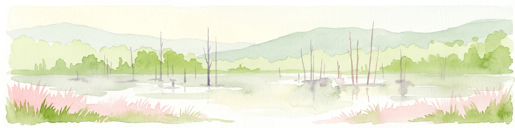
A watercolor painting depicting a calm wetland landscape with thin, bare tree trunks rising from the water, backed by soft green rolling hills and lush vegetation.
Nature reserveBrandenburg
1.9 km away#4 closest

Northeast

Arnimswalde Nature Reserve: Mapped Protected Lake and Forest Ecosystems in Brandenburg

Glacial landscape and Natura 2000 protected territory

Arnimswalde represents a significant protected nature reserve within the Brandenburg region of Germany. This detailed geographic profile covers the reserve's unique glacial lake basins, peat-stained dystrophic waters, and diverse forest communities, offering a structured view of its contribution to regional biodiversity and the broader Schorfheide-Chorin conservation framework.

Area
14.069 km²
Established
1990
IUCN
IV
Protected areaBrandenburg
9 km away#5 closest

Northeast

Suckower Haussee Protected Area: Geographic Overview and Habitat Mosaic in Uckermark, Brandenburg

Mapping spring mires, wet meadows, and dry grassland ecosystems

Suckower Haussee preserves a diverse habitat gradient typical of the Uckermark district. The protected area features a unique juxtaposition of limnic, peat-forming wetland habitats and nutrient-poor dry grasslands. This site acts as an essential component of the regional conservation network in northeastern Brandenburg, demonstrating the importance of small-scale landscape protection.

Area
1.37 km²
Established
1990
Scope
Terrestrial
Water
Major water bodies
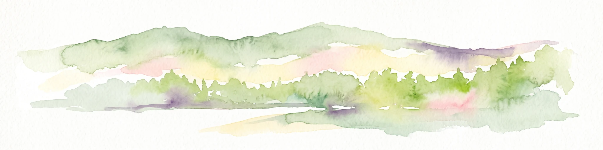
A soft watercolor painting of undulating green hills and forest foliage against a white background.
Nature reserveBrandenburg
About 9.2 km away#6 closest

West

Buchheide Nature Reserve: Glacial Terrain and Forest Conservation in Brandenburg

Base-rich moraine and waterlogged habitat geography

The Buchheide nature reserve in Brandenburg offers a distinct case study in post-glacial landscape ecology. Centered on lime-rich ground moraine and seasonal wetness, the area supports specialized forest habitats. This site provides a clear view into the interactions between ancient geological formations, riparian zones, and current regional conservation strategies across the Uckermark.

Area
5.66 km²
Established
1990
IUCN
IV
Nature reserveBrandenburg
About 20 km away#7 closest

West

Kleine Schorfheide Nature Reserve: Brandenburg Protected Area and Landscape Atlas

Mapped terrain, river floodplains, and forest mosaic in Northern Brandenburg

Spanning over 73 square kilometres, Kleine Schorfheide stands as a significant nature reserve in Brandenburg. It protects a vast, contiguous mosaic of open former military training lands, the natural Havel river floodplain, and the Himmelpforter Heide forest, creating a distinct regional landscape defined by its varied terrain and interconnected lake systems.

Area
73.75 km²
Established
1994
IUCN
IV
Watercolor painting of a lake surrounded by green trees, grassy banks, and soft rolling hills under a pale sky.
Protected areaBrandenburg
24 km away#8 closest

East

Felchowseegebiet Protected Area: Mapped Glacial Lakes and Woodland in Brandenburg

Examining the ecological landscape and forest boundaries of the Uckermark region

Felchowseegebiet functions as a vital refuge for aquatic and forest species in Brandenburg. This protected landscape is defined by its glacial lakes, including the central Felchowsee, which are framed by forests managed for natural development. The area offers a detailed view of the Uckermark terrain, highlighting the interaction between moist woodland and protected water surfaces in northeastern Germany.

Area
9.72 km²
Established
2003
Relief
Lowland
Climate
Temperate

Common questions about visiting, size, designation, and location context for Endmoränenlandschaft bei Ringenwalde

Endmoränenlandschaft bei Ringenwalde FAQs for park facts, access, geography, and protected area context

Find quick answers about Endmoränenlandschaft bei Ringenwalde, including protected-area facts, park geography, trail and visitor context, and how the park fits into its surrounding country and regional landscape.
MoriAtlas Explorer

Continue Your Protected Areas Search Across the Global Atlas

Deepen your exploration by continuing the structured search for national parks and protected areas worldwide. Utilize the comprehensive filtering capabilities to compare different conservation landscapes and refine your understanding of global park geography. Discover more about the distribution and characteristics of protected natural areas.

Global natural geography