
Mori Atlas logo
Nature reserveFuldaschleuse Wolfsanger

Examining the ecological restoration, floodplain terrain, and riverine habitats along the Fulda river.

Fuldaschleuse Wolfsanger Nature Reserve: A Detailed Map of Protected Floodplain Landscapes

(Naturschutzgebiet Fuldaschleuse Wolfsanger)

Fuldaschleuse Wolfsanger is a significant 14-hectare nature reserve and FFH site located along the River Fulda in Kassel, Hessen. This protected area showcases a carefully managed mosaic of softwater floodplain forests, damp grasslands, and artificial shallow-water zones created as a compensatory habitat. The site serves as a vital stopover for migratory waterbirds and a refuge for diverse amphibian and insect species within an urban-adjacent landscape.

floodplainriverine forestAuwaldshallow waterNatura 2000FFH site
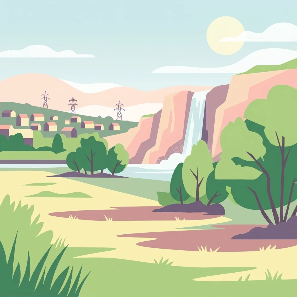
A flat-design digital illustration depicting a landscape with a river flowing from a waterfall near a small town, with electricity pylons in the background.

Fuldaschleuse Wolfsanger

Nature reserve

Park overview

Structured park overview, official facts, and landscape profile for Fuldaschleuse Wolfsanger

Fuldaschleuse Wolfsanger park facts, protected area profile, and essential visitor context

Review the core facts for Fuldaschleuse Wolfsanger, including designation, size, terrain, visitor scale, habitats, and operating context in one park-focused overview.

About Fuldaschleuse Wolfsanger

Fuldaschleuse Wolfsanger is a small but ecologically dense protected area on the left bank of the River Fulda, in the eastern outskirts of Kassel. Although it covers only around 14 hectares, it combines several floodplain habitat types within a compact footprint and is formally recognized both as a German Naturschutzgebiet and as a European Habitats Directive (FFH) site under Natura 2000.

The reserve takes its name from the former Wolfsanger lock on the Fulda, at the location where the modern protected area now sits. Its existence is the direct result of a compensatory conservation measure. When the Wahnhausen weir upstream went into operation in April 1980, valuable floodplain habitats were lost in the process. To offset this impact, ecological restoration works were carried out in the floodplain along the Fulda near Wolfsanger, reshaping the site to create an island, a peninsula, and an associated shallow-water area. The area has been protected as a nature reserve since 1 January 1985.

These man-made landscape elements quickly proved their ecological value, attracting resting and breeding waterbirds, amphibians, and a wide range of invertebrates. Over time, dense softwater floodplain forest, tall herb fringes along the riverbank, and damp grasslands developed on higher ground, turning an engineered floodplain into a functioning wetland mosaic. The site also forms part of the broader EU bird protection area Fuldaaue um Kassel, linking its conservation role to a larger network of floodplain habitats further along the Fulda.

Although the reserve lies next to a state road and within the urban fabric of Kassel, it functions as a quiet refuge for characteristic floodplain species. For visitors and local naturalists, it represents an example of how small, engineered floodplain sites embedded in a city can deliver disproportionate ecological value when habitats are carefully tailored to waterbirds, amphibians, and invertebrates.

Quick facts and research context for Fuldaschleuse Wolfsanger

Fuldaschleuse Wolfsanger is a 14-hectare nature reserve and FFH area in eastern Kassel, Hesse, established on 1 January 1985. It lies on the left bank of the River Fulda at the site of the former Wolfsanger lock and is part of the EU bird protection area Fuldaaue um Kassel. The site was created as a compensatory measure for floodplain habitat lost during construction of the Wahnhausen weir.

Its management focus combines softwater floodplain woodland, tall herb fringes, damp grassland, and artificially created shallow-water zones. Approximately 120 bird species have been recorded, of which 40 breed regularly. Wildlife inventories also document amphibians such as the northern crested newt, reptiles including the grass snake, and a wide range of dragonflies, butterflies, and grasshoppers.

Protection and recognition

Examining documented designation records and international recognition sources for Fuldaschleuse Wolfsanger

Fuldaschleuse Wolfsanger Protection Status and Natura 2000 Recognition

Fuldaschleuse Wolfsanger maintains verified conservation listings including official Natura 2000 recognition across its protected boundaries. This structured data overview details recorded administrative frameworks and international designations associated with the protected area.
Park context

Deeper park guide and search-rich context for Fuldaschleuse Wolfsanger

Fuldaschleuse Wolfsanger history, landscape, wildlife, and travel context

Explore Fuldaschleuse Wolfsanger through its history, landscape character, ecosystems, wildlife, conservation priorities, cultural context, and seasonal travel timing in a structured park guide built for atlas discovery and search intent.

Why Fuldaschleuse Wolfsanger stands out

The reserve is known for its recreated floodplain habitats along the Fulda, including a man-made island, a peninsula, and a shallow-water zone that have become a regionally important stopover for migratory waterbirds. It also stands out for the unexpected density of species recorded in a very small urban-edge area, combining softwater floodplain woodland, tall herb communities, damp meadows, and aquatic habitats within a single compact site. Its identity is closely tied to the history of the Fulda riverworks. The earlier Wolfsanger lock and the later Wahnhausen weir reshaped the floodplain, and the reserve is essentially a planned ecological restoration project born from that river-engineering history.
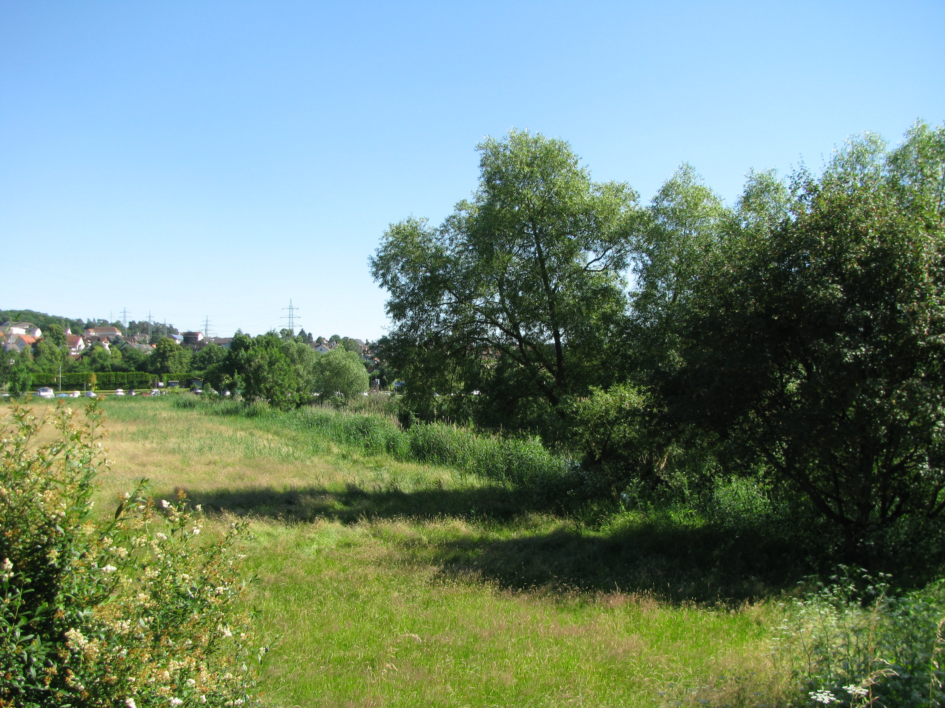
A sunny, open meadow with green grasses, surrounded by mature deciduous trees and shrubs, under a clear blue sky.
A summer view of the meadows and floodplain vegetation at the Fuldaschleuse Wolfsanger nature reserve.

Fuldaschleuse Wolfsanger history and protected-area timeline

The history of Fuldaschleuse Wolfsanger is inseparable from the larger history of hydraulic engineering on the River Fulda near Kassel. Before the reserve existed, the Wolfsanger lock was a working feature of the Fulda's riverworks. In April 1980, the Wahnhausen weir upstream went into operation, a development that significantly improved navigation but also destroyed ecologically valuable floodplain habitats along the river.

As compensation under German impact mitigation regulations, the floodplain at the former Wolfsanger lock was ecologically upgraded. A shallow-water area, an island, and a peninsula were created, and the site rapidly developed into a resting area for migratory waterbirds. Recognized for its growing ecological importance, the area was formally designated as a Naturschutzgebiet on 1 January 1985, giving it long-term legal protection.

In later years, the site also gained European significance. It was designated as an FFH area under the EU Habitats Directive (Natura 2000 site 4623-302) and incorporated into the EU bird protection area Fuldaaue um Kassel. Subsequent management planning, including a 2010 measures plan prepared by the Regierungspräsidium Kassel as the higher nature conservation authority, has continued to shape how the reserve is maintained, with attention to invasive species, habitat structure, and the conservation of characteristic floodplain communities.

Fuldaschleuse Wolfsanger landscape and geographic character

The landscape of Fuldaschleuse Wolfsanger is shaped entirely by its position on the left floodplain of the River Fulda. Although the site is small at around 14 hectares, it contains a layered mosaic of floodplain terrain that has been deliberately designed and actively managed.

The most distinctive physical features are a man-made island, a peninsula, and a shallow-water area created during the reserve's compensatory restoration. These open water and shallow-water zones break up what would otherwise be a relatively uniform stretch of bank, creating the hydrological diversity that the floodplain depends on. Around the shallow-water area, along the riverbank, and toward the western edge of the reserve, developed softwater floodplain woodland (Auwald) forms the structural backbone of the site.

On slightly elevated ground above the softwater forest, transitions into mixed woodland with pedunculate oak and European elm appear, while open damp grasslands occur in the western part of the reserve and northeast of the shallow water. Long, narrow fringes of tall herbs line the margins and the Fulda bank itself, marking the transition between aquatic, wetland, and terrestrial habitats. To the north, the reserve is bordered in stretches by a state road, emphasizing how closely the landscape sits within the urban edges of Kassel.

Fuldaschleuse Wolfsanger ecosystems, habitats, and plant life

Ecologically, Fuldaschleuse Wolfsanger functions as a compact but unusually rich floodplain habitat complex. The defining ecological theme is the coexistence of aquatic, wetland, and terrestrial floodplain communities within a continuous lowland river setting.

Softwater floodplain forest dominates much of the wooded area, with crack willow, black alder, and bird cherry forming the main tree layer. The understory of these woods includes hop, red dogwood, guelder rose, and elder, while the herb layer is rich in moisture-loving species such as wood stitchwort, lesser celandine, wood anemone, ground ivy, yellow loosestrife, stinging nettle, meadowsweet, ground elder, common comfrey, and bulblet-bearing hemlock. Reed canary grass and meadow grass occupy wetter patches.

Along the Fulda and on the edges of the reserve, tall herb fringes develop on the transitional wet soils, with meadowsweet, purple loosestrife, yellow iris, butterfly bush-figwort, and shore motherwort forming recognizable high-stature communities. Damp grasslands add an open habitat layer, while woody margins and shrub layers connect to the woodland. The site has also been colonized by invasive neophytes, especially Himalayan balsam, which forms locally dense stands, and giant hogweed, both of which are recognized management concerns.

Fuldaschleuse Wolfsanger wildlife and species highlights

Despite its small area, Fuldaschleuse Wolfsanger hosts an exceptionally diverse fauna. Surveys have recorded around 120 bird species, of which 40 breed regularly and 13 breed irregularly. Typical and notable breeding species include reed warbler, common redstart, icterine warbler, spotted flycatcher, grasshopper warbler, reed bunting, and grey-headed woodpecker. The site's shallow-water area, island, and peninsula make it a particularly important resting and feeding area for migratory waterbirds moving along the Fulda valley.

The reserve also supports a rich amphibian and reptile community. Documented amphibians include northern crested newt, smooth newt, alpine newt, common toad, common frog, and various water frogs, while reptiles are represented by sand lizard, viviparous lizard, slow worm, and grass snake. Together they highlight how the mosaic of ponds, softwater forest, and damp grassland provides habitat for species with very different moisture and shelter requirements.

Invertebrate diversity is also notable. The reserve hosts a range of butterflies such as the Comma, White-letter Hairstreak, and Dusky Large Blue; grasshoppers including the great green bush-cricket, dark bush-cricket, and common meadow grasshopper; and dragonflies such as the banded demoiselle. This combination of waterbirds, herptiles, and invertebrates is what gives the reserve its disproportionate ecological weight within the Kassel protected-area network.

Fuldaschleuse Wolfsanger conservation status and protection priorities

Fuldaschleuse Wolfsanger is protected through a layered system that reflects both its national and European significance. On the German side, it has been a formal nature reserve (Naturschutzgebiet) since 1 January 1985 and carries area number 1633105. On the European side, it is an FFH area under the EU Habitats Directive and part of the EU bird protection area Fuldaaue um Kassel, placing it within the wider Natura 2000 network.

Its conservation value is closely tied to the history of the Fulda floodplain. The reserve exists fundamentally as an impact-mitigation project, created to compensate for floodplain habitats lost during construction of the Wahnhausen weir. The artificial island, peninsula, and shallow-water zone were deliberately designed to replace lost ecological functions, and the site's subsequent colonization by waterbirds, amphibians, and invertebrates vindicated that approach.

Management planning continues to address ongoing pressures. Invasive species, especially Himalayan balsam and giant hogweed, are recognized issues that require active control. A 2010 management measures plan from the Regierungspräsidium Kassel outlines how the site is to be maintained in a way that protects its softwater forest, tall herb communities, and open water habitats while preserving its value for characteristic floodplain species.

Top sights and standout views in Fuldaschleuse Wolfsanger

Compact floodplain reserve of only about 14 hectares, yet recognized as both a national nature reserve and an EU FFH site. Origins as a compensatory conservation area for habitats lost to the construction of the Wahnhausen weir. Artificial island, peninsula, and shallow-water zone that together provide habitat for migratory waterbirds. Around 120 recorded bird species, of which 40 breed regularly, including teichrohrsänger, Gartenrotschwanz, Gelbspötter, Grauschnäpper, Feldschwirl, Rohrammer, and Grauspecht. Diverse softwater floodplain woodland with crack willow, black alder, and bird cherry, edged by tall herb fringes and damp grasslands.

Best time to visit Fuldaschleuse Wolfsanger

The reserve's appeal shifts seasonally in ways that reflect its floodplain character. Spring is the most active period for breeding birds and flowering ground flora, when lesser celandine, wood anemone, and yellow iris come into bloom alongside the return of warblers and other songbirds to the reedbeds and woodland margins. This is also when amphibian activity in and around the shallow-water zones is easiest to observe.

Late summer and early autumn bring tall herb fringes into full expression, with meadowsweet, purple loosestrife, and stinging nettle dominating the bankside. The same period is when migratory waterbirds begin to use the shallow water and island as a stopover within the Fulda valley, making the reserve relevant for birdwatchers well into the cooler months. Winter visits give a quieter, more structural view of the softwater forest and open water, though colder weather typically reduces waterbird activity at the small site itself.

Monthly climate preview

Long-term representative monthly temperature and precipitation data for Hessen

Fuldaschleuse Wolfsanger Climate Normals and Annual Temperature Rhythm

Fuldaschleuse Wolfsanger exhibits a measured annual temperature and precipitation rhythm across twelve recorded climatology periods. Examining the complete monthly profile reveals detailed fluctuations in average maximum and minimum temperatures.
Annual mean8 °C
-1 °C18 °C
Jan-1°
Feb
Mar
Apr
May12°
Jun16°
Jul18°
Aug18°
Sep14°
Oct
Nov
Dec
Warmest month
July

18 °C

Coolest month
January

-0.6 °C

Wettest month
July

2.5 mm/day

Driest month
April

1.5 mm/day

Park location guide

Geography guide, regional context, and park location map for Fuldaschleuse Wolfsanger

Fuldaschleuse Wolfsanger park geography, regions, and map view in Germany

Understand where Fuldaschleuse Wolfsanger sits in Germany through a broader geographic reading of the surrounding landscape, nearby location context, and its mapped position within the national park landscape.

How Fuldaschleuse Wolfsanger fits into Germany

Germany is a federal republic in Western and Central Europe with a population of over 83 million across sixteen constituent states. It is Europe's largest economy by nominal GDP and a major global exporter and importer. The capital is Berlin, and the country borders Denmark, Poland, Czech Republic, Austria, Switzerland, France, Luxembourg, Belgium, and the Netherlands.

Wider geography shaping Fuldaschleuse Wolfsanger in Germany

Germany is located in Western and Central Europe, spanning 357,022 km². It borders Denmark to the north, Poland and the Czech Republic to the east, Austria and Switzerland to the south, and France, Luxembourg, Belgium, and the Netherlands to the west. The country has coastlines on the Baltic Sea and North Sea to the north, with the Alps located in the southern region.

Map view of Fuldaschleuse Wolfsanger

Use this park location map to pinpoint Fuldaschleuse Wolfsanger in Germany, understand its exact geographic position, and read its mapped placement within the surrounding landscape more clearly.

Pigeon | © OpenStreetMap contributors

Location context for Fuldaschleuse Wolfsanger

Hessen

Visual reference collection showcasing the protected wetland habitats and riparian terrain of the reserve

Fuldaschleuse Wolfsanger Photos, Riverine Scenery, and Floodplain Landscapes

Visual documentation captures the restored floodplain terrain, softwater woodland fringes, and shallow water zones that define the protected landscape. Examining these field photographs reveals the distinctive ecological structure of the urban nature reserve along the River Fulda.

A sunny, open meadow with green grasses, surrounded by mature deciduous trees and shrubs, under a clear blue sky.

Park atlas

Compare regional riverine reserves and surrounding conservation areas in Hesse.

Parks Near Fuldaschleuse Wolfsanger and Connected Protected Landscapes

Browse nearby national parks and protected areas sharing similar floodplain terrain, riverine forest, and wetland habitats. Comparing connected reserves provides deeper geographic context on regional conservation corridors across the surrounding landscape.
A horizontal watercolor illustration depicting rolling green hills, patches of forest, and a calm river in the foreground, rendered in soft, pastel tones.
Nature reserveHesse
About 4.2 km away#1 closest

Northwest

Kragenhof bei Fuldatal Nature Reserve: Mapped Floodplain Landscapes in Hesse, Germany

Protected riparian ecosystems and river meander geography

Located in the state of Hesse, Kragenhof bei Fuldatal is a significant nature reserve protecting a complex mosaic of Fulda River floodplain habitats. The area features shifting currents, small wooded islands, and open grassland within a distinctive meander-driven landscape. Explore the geographic boundaries and ecological structure of this important regional waterbird refuge.

Area
0.077 km²
Established
1981
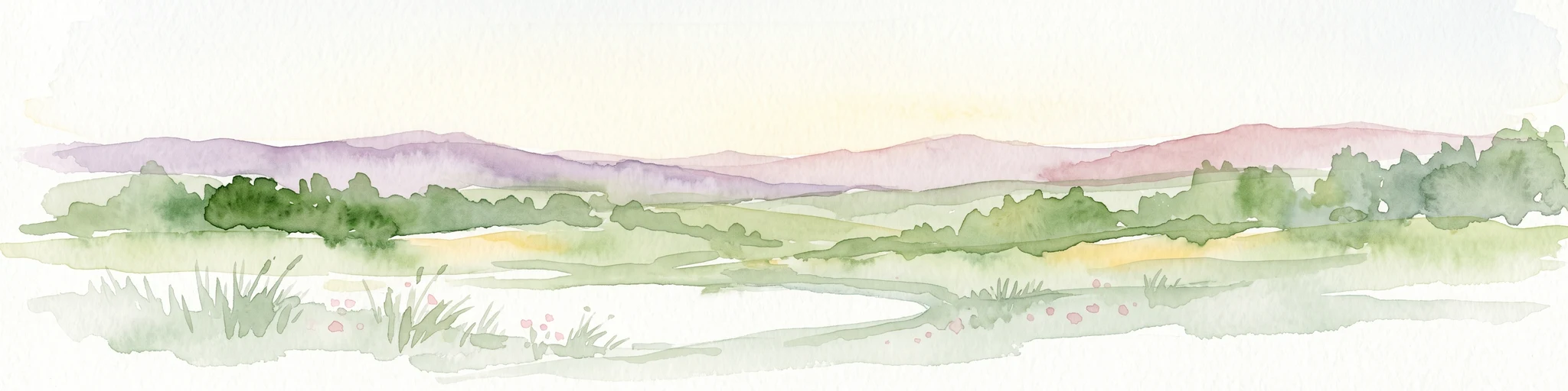
A horizontal watercolor painting depicting a soft, atmospheric landscape with rolling green hills, a winding river or water feature, and distant pale mountains under a hazy, pastel sky.
Protected landscapeLower Saxony
About 7.8 km away#2 closest

Northeast

Naturpark Münden Protected Landscape: Geography and Regional Mapping in Lower Saxony

Forested ridges and river valleys in southern Germany

Naturpark Münden offers a detailed look at the central German low mountain range. Discover the mapping of the Kaufunger Wald and Bramwald, the significance of the Fulda and Werra river confluences, and the structure of this historically significant protected landscape located in Lower Saxony.

Area
374 km²
Established
1959
Relief
Mountain
Water
Major water bodies
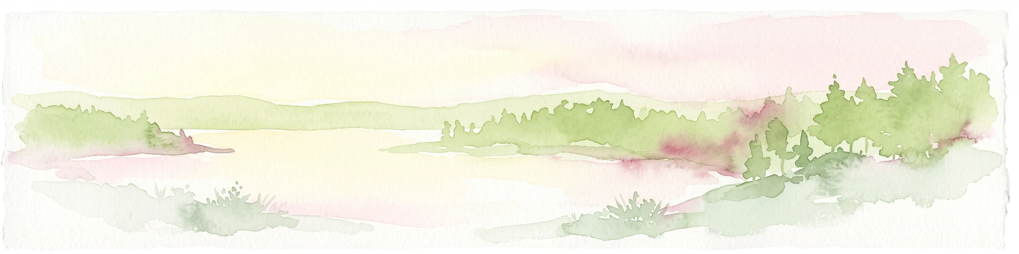
A watercolor painting in soft pastel tones showing a winding river or path flanked by small clusters of green trees, with gently rolling hills in the background against a white backdrop.
Nature reserveKassel
8.1 km away#3 closest

Southwest

Dönche Nature Reserve: Investigating the Protected Landscapes and Urban Geography of Kassel

Exploring the historic grassland and wetland mosaic in northern Hesse

Dönche serves as a primary example of an inner-city nature reserve in Germany, preserving 170 hectares of open countryside within the Kassel urban fabric. Its landscape is shaped by the Dönchebach and Krebsbach streams, forming a rhythmic structure of ponds, beech wood pastures, and tall herb communities that offer a deep look into regional ecology and historical land use.

Area
1.709 km²
Established
1983
Water
Minor water
Watercolor painting of a soft landscape featuring green trees and rolling hills in muted tones against a white background.
Nature reserveGermany
About 11 km away#4 closest

North

Bruchwald am Gahrenberg Nature Reserve: A Protected Wetland Atlas of the Reinhardswald

Mapped terrain, bog woodland, and hydrological headwaters in Hessen

Located in the Reinhardswald forest massif, Bruchwald am Gahrenberg protects critical marsh and bog woodland habitats. The area serves as a primary source for regional streams, offering a dense, spring-fed landscape that stands out within the broader northern German wilderness.

Area
0.41 km²
Established
1992
Relief
Upland
Climate
Temperate
A soft watercolor illustration of a winding stream flowing through a green meadow with rolling hills in the background and a small cluster of pine trees in the foreground.
Nature reserveHessen
About 11 km away#5 closest

Northwest

Jungfernbach und Brandteich bei Calden: Protected Forest and Stream Valley Geography

Regional nature reserve landscape located in northern Hessen

Examine the mapped boundaries and natural terrain of Jungfernbach und Brandteich bei Calden. This nature reserve offers a detailed look at lowland stream corridors, pond ecosystems, and riparian forest patches nestled within the rolling landscape of northern Hessen, reflecting the region's diverse protected land character.

Area
0.343 km²
Established
1985
A horizontal watercolor painting showing a soft, hazy landscape with green hills, patches of grass, and purple-tinted distant mountains under a white sky.
Nature reserveLandkreis Kassel
12 km away#6 closest

Northwest

Keischel bei Weimar: Nature Reserve Protected Area and Regional Geography

A calcareous grassland mosaic in the Landkreis Kassel district

Keischel bei Weimar preserves a 19.7-hectare landscape defined by Muschelkalk limestone bedrock and traditional agricultural practices. This nature reserve serves as a critical refuge for specialized flora and insect species, showcasing the value of integrated land management within the broader West Hessian Depression and northern Hesse regional geography.

Area
0.197 km²
Established
1992
Relief
Upland
Climate
Temperate
Watercolor painting of a calm wetland landscape with soft green trees along the water edge under a light, misty sky.
Nature reserveHessen
12 km away#7 closest

Northwest

Rothenberg bei Burguffeln Protected Wetland Landscape and Nature Reserve in Hessen

A specialized pond and meadow mosaic in the Hessian lowlands

Rothenberg bei Burguffeln preserves a vital wetland complex near Immenhausen, structured across three distinct sections, including the Rothenküler Teich and Tonkaule. The area represents a significant example of culturally shaped lowland geography, blending historic aquaculture with contemporary habitat management. Its protected status reflects a commitment to maintaining intricate riparian corridors and meadow ecosystems within the wider Hessian countryside.

Area
0.278 km²
Established
1983
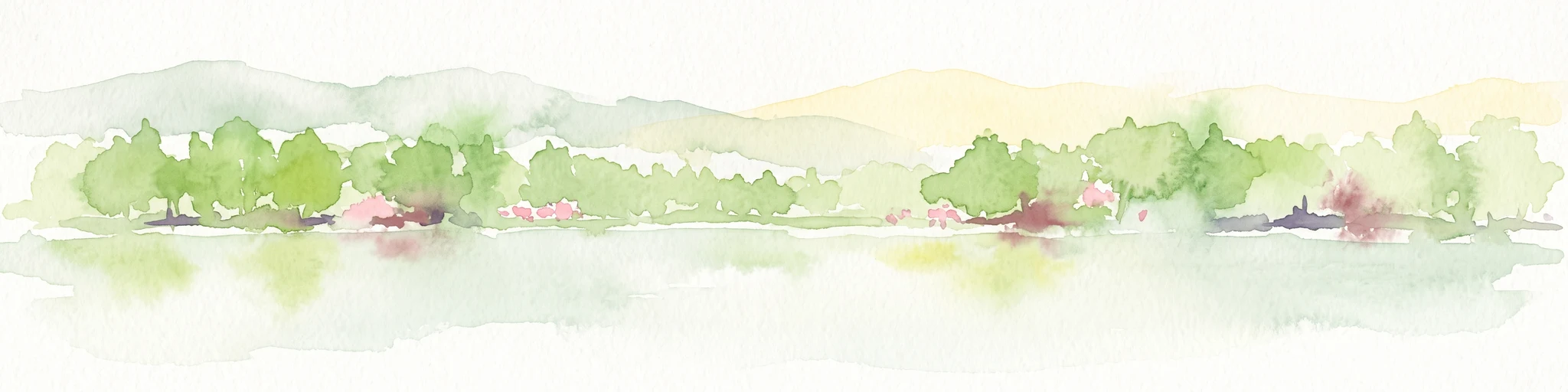
A soft watercolor illustration showing a band of green trees reflecting in calm water, with a light hilly background.
Nature reserveHessen
About 13 km away#8 closest

North

Bennhäuser Teich und Rothbalzer Teich bei Immenhausen: Protected Nature Reserve and Landscape Atlas

Mapped woodland and wetland habitats in Hessen, Germany.

This nature reserve centers on historic impoundment ponds and complex valley hydrology. Its landscape features rare dragonfly habitats and successional carr woodlands that define the ecological identity of this protected area within the northern Hessen countryside.

Area
0.315 km²
Established
1998

Common questions about visiting, size, designation, and location context for Fuldaschleuse Wolfsanger

Fuldaschleuse Wolfsanger FAQs for park facts, access, geography, and protected area context

Find quick answers about Fuldaschleuse Wolfsanger, including protected-area facts, park geography, trail and visitor context, and how the park fits into its surrounding country and regional landscape.
MoriAtlas Explorer

Continue Your Protected Areas Search Across the Global Atlas

Deepen your exploration by continuing the structured search for national parks and protected areas worldwide. Utilize the comprehensive filtering capabilities to compare different conservation landscapes and refine your understanding of global park geography. Discover more about the distribution and characteristics of protected natural areas.

Global natural geography