Mori Atlas logo
Park earthquake history

Review historical seismic records mapped by distance to coastal park landscapes

Recorded Earthquake History and Seismic Activity near Gateway National Recreation Area

This collection presents a catalogue of recorded earthquakes associated by epicenter distance with the shorelines, salt marshes, and barrier islands of Gateway National Recreation Area. Users can examine historical seismic events, including data on magnitude, depth, and relative geographic proximity to the park. These records are curated to support spatial understanding of regional seismic history across the New York and New Jersey coastal estuary.

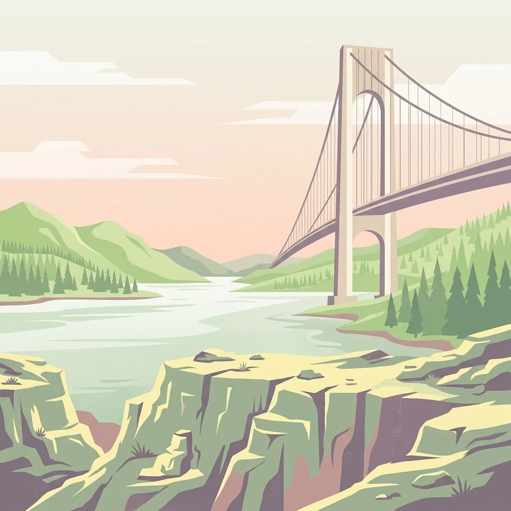
A stylized flat vector illustration of a suspension bridge extending over a river, with green hills, evergreen trees, and rocky cliffs in the foreground under a pale sky.

An urban national park of beaches, bays, barrier islands, and historic forts at the entrance to New York Harbor.

Gateway National Recreation Area

Gateway National Recreation Area is a 26,607-acre U.S. National Recreation Area that spans parts of New York City and Monmouth County, New Jersey. Unlike most national park units, it sits within or directly adjacent to one of the largest metropolitan areas in the United States, providing ocean beaches, bays, salt marshes, and barrier beaches within easy reach of millions of residents. It is one of the most visited units of the National Park Service, drawing more than 8.7 million visitors in 2022 and ranking as the fourth most-visited unit in the system that year. The recreation area is divided into three units that together form a partial ring around the entrance to New York Harbor. The Jamaica Bay Unit in Brooklyn and Queens surrounds much of the Jamaica Bay estuary and the western Rockaway Peninsula. The Staten Island Unit occupies the southeastern shore of Staten Island and includes offshore islands that once served as immigrant quarantine stations. The Sandy Hook Unit lies across the harbor in northern New Jersey, where the Sandy Hook Peninsula forms the other side of the harbor's maritime gateway. Together, these landscapes include some of the last remnants of the original natural shoreline of the New York region. Gateway's significance lies in its unusual combination of urban access, coastal ecology, and historic military architecture. It preserves bird-rich salt marshes, maritime forests, ocean beaches, dune systems, and decommissioned forts, while offering recreational opportunities such as swimming, boating, camping, hiking, and birdwatching in a dense urban setting. Its creation reflected a deliberate policy choice to safeguard accessible natural landscapes near major population centers, ensuring that large portions of the public could experience authentic coastal environments without long-distance travel.

Location
United States of America
Park type
Protected landscape
Established
1972
Area
107.7 km²
Gateway National Recreation Area Atlas

Set reported epicentres against Gateway’s coast, beaches, dunes, wetlands and islands

Trace earthquake records around Gateway National Recreation Area

Review earthquake reports around Gateway National Recreation Area, a 107.67 km² mixed lowland protected landscape with major water across coast, beaches, dunes, wetlands, lakes, rivers, islands and forest; compare time, magnitude, depth and park distance with source access. Proximity does not prove boundary occurrence, coastal effects, present hazard, cause or future activity.

Sort by
Magnitude
Location

This page describes catalogued earthquakes associated with the park by epicentre location and distance. It does not establish causation, assess current danger, or predict future earthquakes.

No earthquake records match the current filters

Park atlas

Expand beyond Gateway National Recreation Area earthquake history

Browse further parks after Gateway National Recreation Area

A standalone protected-destination selection follows the earthquake catalogue for Gateway National Recreation Area. Its pages do not signal common recreation status, landscape character, earthquake data, geology, nearby geography, seismic conditions, hazard, risk, or equivalent catalogue breadth.
Protected landscapeNew York
46 km away#1 closest

East

Fire Island National Seashore: Geography and Protected Area Exploration

Barrier island ecosystems and coastal wilderness in New York

Fire Island National Seashore spans a narrow, thirty-mile barrier island corridor, protecting a mosaic of maritime pine forest, expansive Atlantic beaches, and quiet bay-side salt marshes. This protected landscape includes the Otis Pike Fire Island High Dune Wilderness and the maritime holly canopy of the Sunken Forest, offering an essential reference for exploring coastal geography in New York.

Area
79.23 km²
Established
1964
IUCN
V
Visitors
393.7K annual
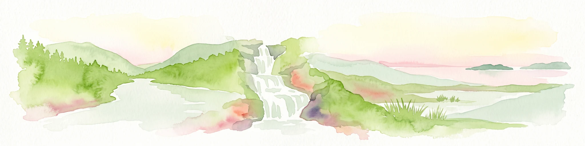
Watercolor illustration depicting a cascading waterfall nestled between rolling green hills and a gentle body of water.
Protected landscapeUnited States of America
88 km away#2 closest

Northwest

Delaware Water Gap National Recreation Area: Regional Geography and Mapped Protected Landscapes

Appalachian river corridors and mountain pass geography.

Delaware Water Gap National Recreation Area serves as a major protected unit in the United States, centered on the dramatic geological pass where the Delaware River cuts through Kittatinny Mountain and Blue Mountain. This expansive landscape preserves critical riverine habitats, forested ridges, and historic corridors that provide a deep look into the regional geography of the mid-Atlantic Appalachians.

Area
270.09 km²
Established
1965
Visitors
4.2M annual
Relief
Mountain
Nature reserveNew Jersey
About 97 km away#3 closest

South

Jacques Cousteau National Estuarine Research Reserve: New Jersey Coastal Protected Area

Inland-to-ocean ecological gradient map and landscape overview.

Located in southeastern New Jersey, the Jacques Cousteau National Estuarine Research Reserve provides a rare, contiguous protected footprint covering the Mullica River and Great Bay. This landscape includes freshwater swamps, salt marshes, and barrier island dunes, offering a benchmark site for scientific research on estuarine and coastal processes along the Atlantic coast.

Area
470 km²
Established
1997
Relief
Lowland
Climate
Temperate
Nature reserveDelaware
About 193 km away#4 closest

Southwest

Delaware National Estuarine Research Reserve: Coastal Estuary and Wetland Protected Landscape

A paired nature reserve system in Delaware

Delaware National Estuarine Research Reserve preserves a significant coastal gradient across two distinct units in Kent County. From the freshwater wetlands and forests of Blackbird Creek to the tidal salt marshes of the St. Jones River, this protected area serves as a primary hub for estuarine research, monitoring aquatic conditions, and safeguarding biodiversity within the Delaware Bay ecological corridor.

Established
1937
IUCN
IV
Relief
Lowland
Climate
Temperate
Marine protected areaRhode Island
About 230 km away#5 closest

Northeast

Narragansett Bay National Estuarine Research Reserve: Island and Marine Protected Area Overview

A coastal research landscape in Rhode Island

Discover the geographic composition of the Narragansett Bay National Estuarine Research Reserve. This marine protected area spans the terrestrial and aquatic zones of three major islands within the Narragansett Bay system, providing a deep look at estuarine habitat conservation and regional island geography.

Area
15.9 km²
Established
1980
Relief
Lowland
Climate
Temperate
Watercolor painting of a lush green landscape featuring rolling hills in the distance, a meandering stream in the midground, and wetlands with cattails in the foreground.
Protected landscapeVermont
239 km away#6 closest

North

Green Mountain National Forest: Mapped Geography and Protected Landscape Analysis

Examining the wilderness backbone of Vermont's mountainous terrain

Gain insight into the expansive boundaries of Green Mountain National Forest, an essential protected area spanning the Green Mountains of Vermont. This profile details the forest's composition, ranging from high-elevation spruce-fir zones to mixed hardwood slopes and extensive federal wilderness corridors, providing a foundational geographic understanding of this vital northeastern landscape.

Area
1,615.31 km²
Established
1932
Relief
Mountain
Climate
Temperate
Wildlife reserveBennington County
251 km away#7 closest

North

George D. Aiken Wilderness: Protected Forest Landscapes and Ridgelines in Vermont

Detailed geographic overview of a Green Mountain wilderness reserve

Spanning over 4,800 acres in Bennington County, the George D. Aiken Wilderness stands as a significant protected area within the southern Green Mountains. The terrain features narrow ridgelines, steep valleys, and a dense canopy of northern hardwoods that remain unmanaged to maintain wilderness standards. This area serves as a primary geographic anchor for Eastern wilderness preservation efforts in the United States.

Area
19 km²
Established
1984
IUCN
Ib
Relief
Mountain
A minimalist watercolor painting depicting a soft green and pastel landscape with rolling hills and a central pond or marshy area on a white background.
Protected landscapeMaryland
252 km away#8 closest

South

Assateague Island National Seashore: Geographic Atlas and Protected Landscape Overview

Dynamic barrier island terrain in the Maryland region

Assateague Island National Seashore preserves one of the most naturally functioning barrier island ecosystems in the Mid-Atlantic. This protected stretch of coastline showcases the interaction between sediment movement, storm-driven overwash, and salt marsh development, offering a clear view of how barrier systems respond to environmental forces.

Area
167.2 km²
Established
1965
IUCN
V
Visitors
2.3M annual
MoriAtlas Explorer

Analyze the Geographic Boundaries of Gateway National Recreation Area

Continue exploring the diverse coastal terrain and historic infrastructure of Gateway National Recreation Area. MoriAtlas provides a clear view of how these fragmented protected lands function as a unified system within the dense New York metropolitan region, offering a deeper look at the interplay between urban development and surviving maritime ecosystems.