
Mori Atlas logo
Protected areaGeopark Karawanken

Analyzing the tectonic boundaries, mountain relief, and diverse geological features defining this cross-border region.

Geopark Karawanken: A Detailed Geographic Study of Alpine Protected Landscapes in Austria

Geopark Karawanken represents a significant protected area spanning the Karawanks mountain range, where the convergence of tectonic plates along the Periadriatic Seam has sculpted a dramatic alpine terrain. The region displays complex geological strata, deep incised valleys, and unique karst systems that illustrate the historical evolution of these mountains. Through mapped boundaries and topographic features, this study provides insight into the interplay between geological activity and landform development within this cross-border environment.

geoparkUNESCO Global Geoparkalpine landscapecross-border parktectonic geologyPeriadriatic Seam
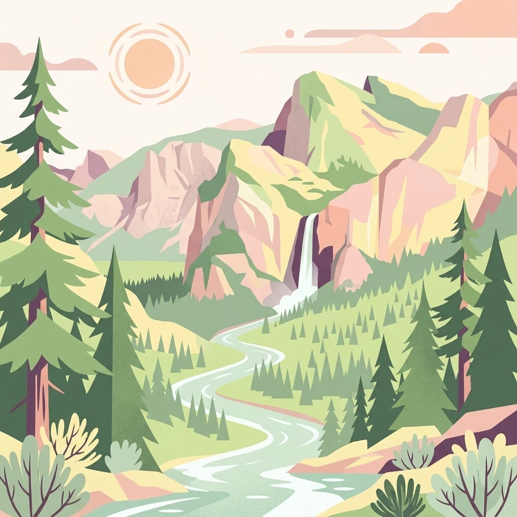
A flat-style digital illustration of a mountainous landscape featuring evergreen trees, a winding river, a central waterfall, and a bright sun in the sky.

Geopark Karawanken

Protected area

Park overview

Structured park overview, official facts, and landscape profile for Geopark Karawanken

Geopark Karawanken park facts, protected area profile, and essential visitor context

Review the core facts for Geopark Karawanken, including designation, size, terrain, visitor scale, habitats, and operating context in one park-focused overview.

About Geopark Karawanken

Geopark Karawanken is a transnational UNESCO Global Geopark located in the Karawanks, the mountain range that runs between southern Austria and northern Slovenia. Spread across about 1,067 square kilometers, the park unites fourteen municipalities along both sides of the border, including Bad Eisenkappel, Bleiburg, Mežica, Črna na Koroškem, Dravograd, Prevalje, and Ravne na Koroškem. This administrative and geographic breadth makes the park one of the larger cross-border geoparks in the Eastern Alps, linking communities and landscapes that share a common geological origin but have historically belonged to two different countries and language groups.

At the heart of the park's identity is its geology. The Karawanks range rises where several tectonic plates converge along the Periadriatic Seam, a major fault line that has shaped the structure of the Eastern Alps. The interaction of these plates has produced the park's exceptionally deep valleys, known locally as Gräben, and exposed rock strata that reveal the mountain-building history of the region. The highest peaks within the park are Hochobir, Petzen, and Koschuta, each providing distinctive vantage points for understanding the geological story of the range.

The park's cultural and industrial history is closely tied to its geology. For centuries, the region prospered from the extraction of lead, zinc, iron, and coal, and the resulting mining legacy is integral to the geopark experience. The former mine in Mežica is now used for tourism, including visits to deposits of the mineral wulfenite, while the Obir Dripstone Caves were accidentally discovered during tunnel construction and have become one of the park's most visited underground attractions. Above ground, the Trögern Gorge near Bad Eisenkappel illustrates the erosive forces of alpine streams, and the iron-rich Muri Spring is a frequently visited natural feature noted for its mineral content.

Two visitor information centers, located in Bad Eisenkappel and in Mežica, support the park's educational mission. The park also encompasses important archaeological sites and natural monuments, broadening its scope beyond geology to include broader cultural and ecological heritage. As a UNESCO Global Geopark since 2013, the Geopark Karawanken serves as a platform for sustainable ecotourism, geological education, and cross-border cooperation between German-speaking and Slovenian-speaking communities in the region.

Quick facts and research context for Geopark Karawanken

Geopark Karawanken is a cross-border geological park covering approximately 1,067 square kilometers in the Karawanks range between Austria and Slovenia. Fourteen municipalities participate in the geopark, including Bad Eisenkappel, Bleiburg, Črna na Koroškem, Dravograd, Feistritz ob Bleiburg, Gallizien, Globasnitz, Lavamünd, Mežica, Neuhaus, Prevalje, Ravne na Koroškem, Sittersdorf, and Zell.

The park became part of the UNESCO Global Geoparks Network in 2013. Its highest peaks include Obir, Petzen, and Koschuta, while its geological identity is defined by the Periadriatic Seam and a long tradition of lead, zinc, iron, and coal mining.

Protection and recognition

Documented terrestrial protection scope and international recognition records

Geopark Karawanken Protection Status and Transboundary Designation History

Geopark Karawanken maintains a documented terrestrial protection scope established in the year 2013 across a transboundary framework. Structured records outline the official designation timeline and management scope without implying external conservation outcomes.

Protection details

Protection scope
Terrestrial
Designated year
2013
Transboundary protection
Yes
Park context

Deeper park guide and search-rich context for Geopark Karawanken

Geopark Karawanken history, landscape, wildlife, and travel context

Explore Geopark Karawanken through its history, landscape character, ecosystems, wildlife, conservation priorities, cultural context, and seasonal travel timing in a structured park guide built for atlas discovery and search intent.

Why Geopark Karawanken stands out

Geopark Karawanken is best known for the geological contact zone along the Periadriatic Seam, where several tectonic plates meet and produce the deep valleys that define the Karawanks landscape. This tectonic setting gives the park a remarkably visible geological record, exposing the rock formations and structural features that tell the story of the mountain range's formation. Within this setting, the park features several signature sites. The Obir Dripstone Caves, discovered during tunnel construction, offer underground views of karst formations, while the Trögern Gorge near Bad Eisenkappel showcases the erosive power of mountain streams. The former Mežica mine, where the mineral wulfenite can still be found, now serves tourism and education. Together, these features make the park a showcase for alpine geology and the overlap of mining heritage with natural landscape.
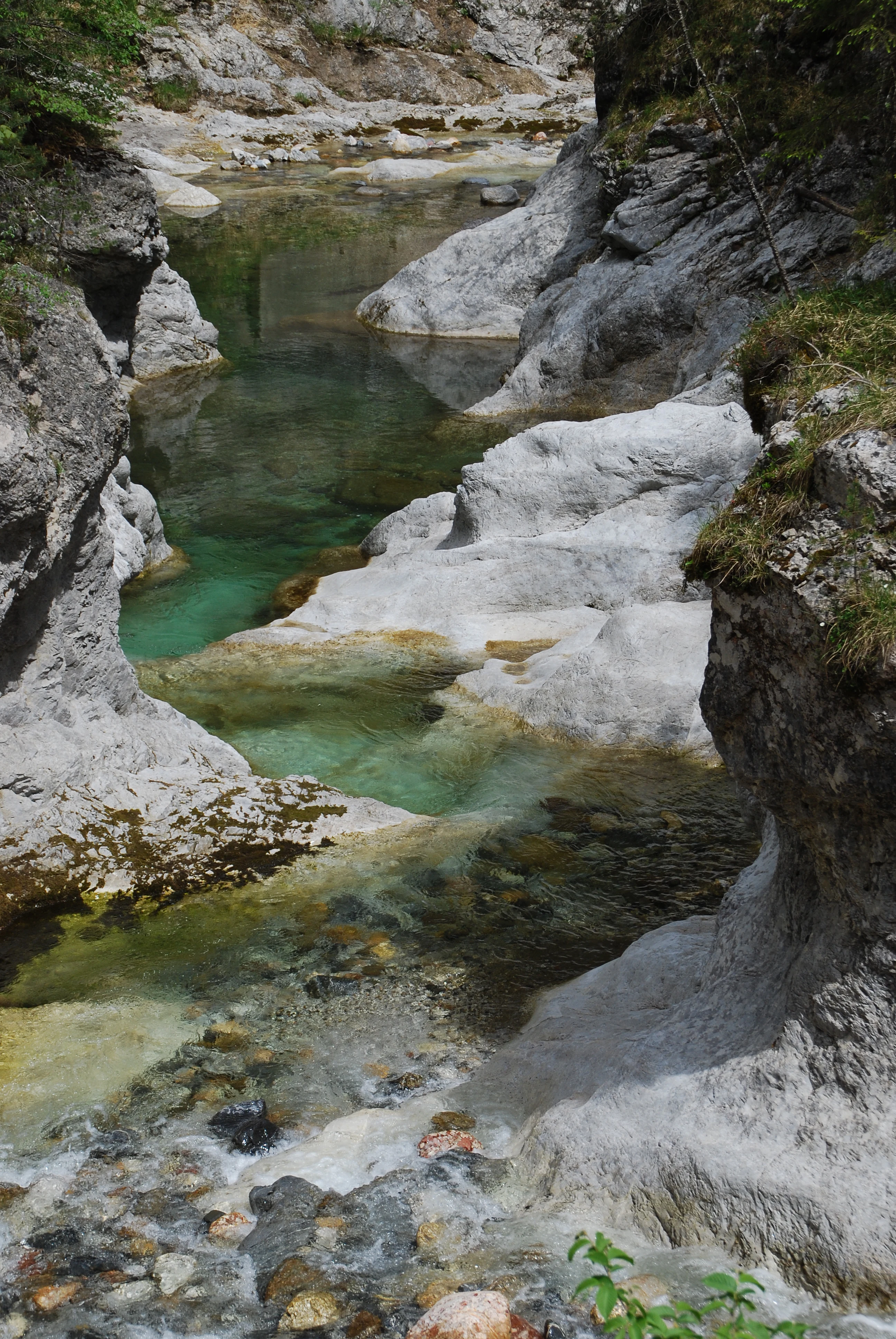
A clear, turquoise mountain creek flowing between steep, light-colored limestone rock formations in a forest gorge.
The Trögerner Bach creek flowing through a narrow limestone gorge in the Geopark Karawanken.

Geopark Karawanken history and protected-area timeline

The vision for a transboundary protected area in the Karawanks region dates back to the 1960s, when the Austrian-Slovenian botanist and conservationist Angela Piskernik proposed the creation of a cross-border nature park linking the natural and cultural landscapes on both sides of the border. Her early efforts anticipated the kind of international cooperation that would later define the geopark.

The modern history of the park is closely linked to the region's industrial past. Lead, zinc, iron, and coal mining shaped local economies and communities long before the geopark was established. The closure of many mines gradually shifted the regional economy toward tourism, conservation, and education, creating the conditions in which the mining heritage could be reinterpreted as a cultural and geological resource.

A milestone came in 2013, when Geopark Karawanken was admitted to the UNESCO Global Geoparks Network, formalizing its international significance. Visitor information centers in Bad Eisenkappel and Mežica were established to support the park's educational and tourist infrastructure. In 2016, the Austrian municipalities within the park publicly opposed the construction of a border fence linked to the European migrant crisis, underscoring the geopark's role as a symbol of cross-border understanding and cooperation between the German- and Slovenian-speaking populations of the region.

Geopark Karawanken landscape and geographic character

The landscape of Geopark Karawanken is defined by the dramatic relief of the Karawanks mountain range. Sharp ridges and steep slopes rise from deeply incised valleys, creating a classic alpine topography shaped by tectonic uplift and long-term erosion. The highest summits within the park are Hochobir, Petzen, and Koschuta, each contributing distinctive massifs that frame the valleys below.

The exceptionally deep valleys, known locally as Gräben, are among the park's most prominent landscape features. These valleys owe their depth to the tectonic activity along the Periadriatic Seam, where multiple plates meet and fracture the bedrock, accelerating erosion. The result is a landscape of strong vertical contrast, with sheltered valley floors sitting beneath towering mountain faces.

Water has played a significant role in shaping the visible terrain. The Trögern Gorge near Bad Eisenkappel is carved by the Trögern creek, which cuts through bedrock to form narrow, steep-walled sections of canyon. Springs such as the Muri Spring add hydrological variety to the landscape, releasing iron-rich water that has its own geological and cultural significance. Together, these features give the park a varied surface geography that combines high peaks, deep valleys, gorges, cave systems, and mineral springs.
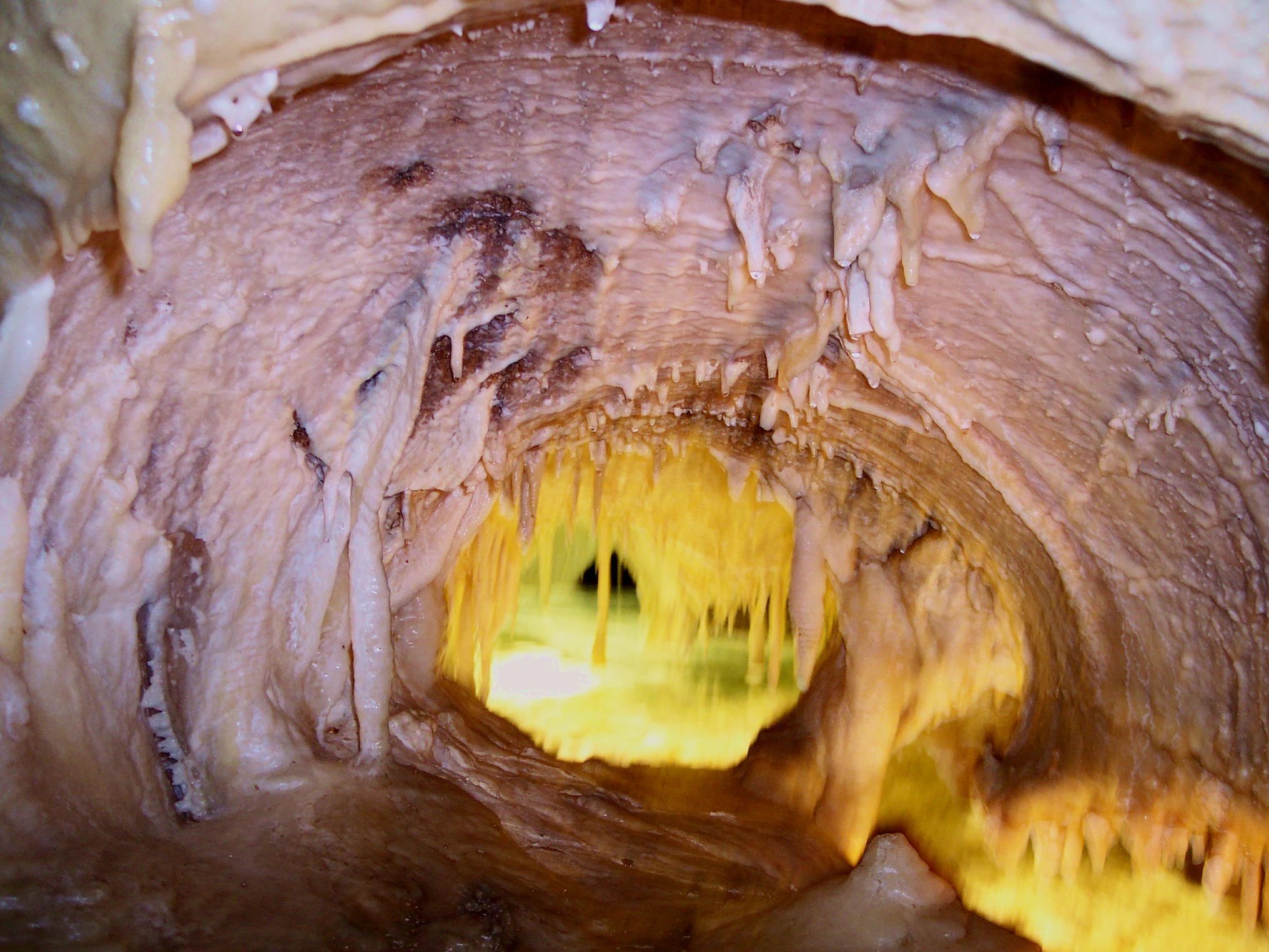
A close-up shot of a cave interior with stalactites hanging from the ceiling above a calm, glowing pool of water.
An illuminated underground lake within the Obir Dripstone Caves in Geopark Karawanken.

Geopark Karawanken ecosystems, habitats, and plant life

The geopark's natural environment reflects the climatic and topographic diversity of the Karawanks. Elevation differences from valley floors to alpine peaks produce a gradient of habitats that supports varied vegetation communities, ranging from forest associations on the lower slopes to alpine meadow and rock communities higher up. The deep valleys create localized microclimates that further diversify ecological conditions within the park.

Beyond its geology, the park also encompasses important natural monuments and ecologically significant sites. The karst environment of the Obir Dripstone Caves represents a distinct underground ecosystem, while the gorge microclimates along streams like the Trögern creek support specialized riparian and shaded habitats. The combination of mineral-rich springs, forest cover, and alpine zones gives the park an ecological richness that complements its geological prominence.

This ecological setting is closely tied to the park's identity as a landscape shaped by both natural processes and human activity. Past mining has left lasting traces on terrain and water systems, while traditional land use and forestry continue to influence habitat patterns. The geopark's ecological character therefore reflects both the underlying geology and the long history of human presence in the Karawanks.
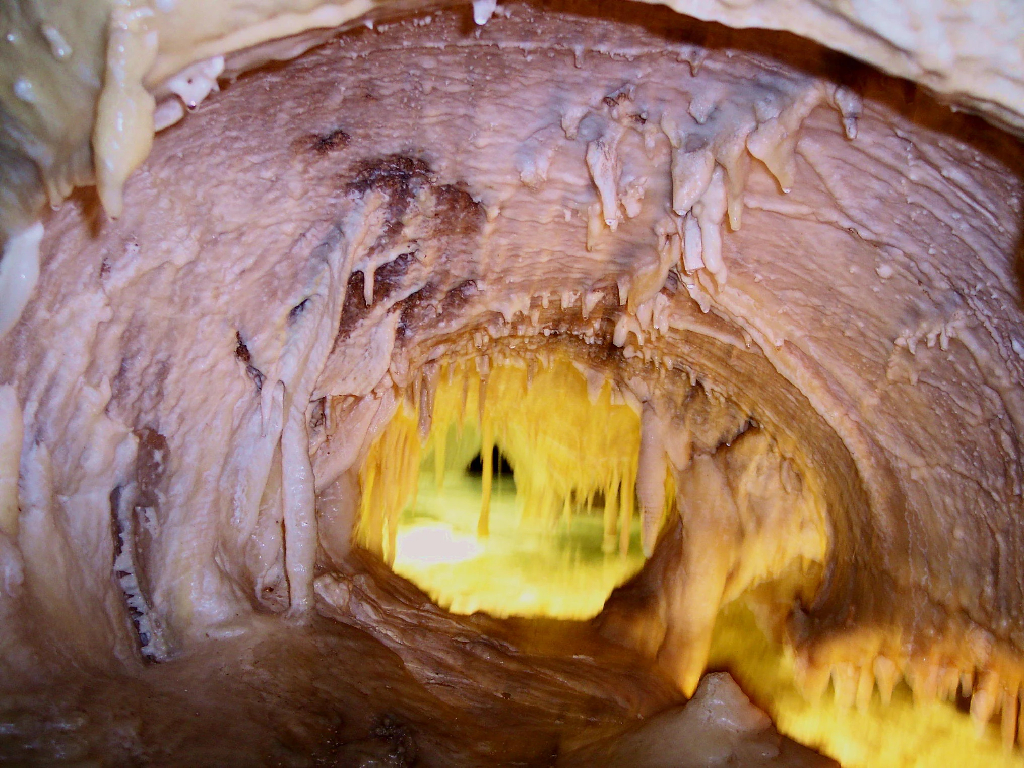
A low-angle view inside a cave with textured rock walls and stalactites, showing a small, brightly illuminated underground lake in the center.
An illuminated underground lake inside the Obir Dripstone Caves.

Geopark Karawanken wildlife and species highlights

The varied habitats of the Karawanks support a typical Eastern Alps wildlife community. Forest environments on the valley slopes provide habitat for deer and other ungulates, while the higher alpine zones offer space for species adapted to rugged terrain and seasonal conditions. Birds of prey are associated with the cliffs and open ridges above the valleys.

Streams, springs, and karst environments contribute additional ecological niches. The iron-rich Muri Spring and the stream corridors of the Trögern Gorge sustain distinctive aquatic and riparian communities, while cave systems such as the Obir Dripstone Caves host specialized fauna adapted to underground conditions. The mosaic of habitats across elevation and moisture gradients gives the park a wildlife profile characteristic of borderland alpine regions between Austria and Slovenia.

Geopark Karawanken conservation status and protection priorities

As a UNESCO Global Geopark since 2013, Geopark Karawanken holds recognized international significance for the protection and interpretation of geological heritage. Its inclusion in the Global Geoparks Network highlights the value of the Periadriatic Seam as a natural laboratory for understanding plate tectonics in the Eastern Alps, as well as the importance of preserving the region's caves, gorges, mineral springs, and mining remnants.

The conservation approach in the park combines geological protection with broader landscape and cultural preservation. Mining heritage is actively reinterpreted through educational tourism, as seen in the former mine at Mežica, allowing industrial history to be preserved and communicated rather than erased. Natural monuments, archaeological sites, and protected ecological areas within the park's boundaries further expand its conservation scope.

Cross-border cooperation forms a central pillar of the park's conservation model. By linking fourteen municipalities across the Austrian-Slovenian border, the geopark demonstrates how shared geological heritage can foster joint environmental management. The park's history, including the 2016 opposition to a border fence by its Austrian municipalities, illustrates how conservation in the Karawanks is intertwined with the broader goal of maintaining ecological and cultural continuity across the border.

Geopark Karawanken cultural meaning and human context

Geopark Karawanken sits at the meeting point of two linguistic and cultural traditions: the German-speaking communities of Carinthia in Austria and the Slovenian-speaking communities on the southern side of the range. The park's fourteen participating municipalities reflect this dual identity and frame the geopark as much as a cultural bridge as a geological site.

The region's industrial past has shaped local identity for generations. Lead, zinc, iron, and coal mining provided economic foundation, and former mining communities have transitioned into centers of geological education and tourism. Sites such as the Obir Dripstone Caves, the Trögern Gorge, and the Mežica mine are woven into local memory and folklore, carrying both practical and symbolic meaning.

Archaeological sites within the park extend this cultural depth further into prehistory, while the geopark's cross-border mission has become itself a cultural statement. The 2016 resistance by Austrian geopark municipalities to a planned border fence showed how strongly local communities associate their landscape with openness and cooperation between neighbors, making the geopark a symbol of regional identity as well as a tool of nature and heritage protection.

Top sights and standout views in Geopark Karawanken

Among the park's standout features are the Obir Dripstone Caves, the Trögern Gorge near Bad Eisenkappel, the iron-rich Muri Spring, and the former mining complex at Mežica, where the mineral wulfenite can still be encountered. Each site reflects a different facet of the Karawanks' geological and cultural character, from underground karst processes to surface erosion and industrial heritage.

The park's broader appeal lies in its cross-border scale and the depth of its geological story. The convergence of tectonic plates along the Periadriatic Seam has produced a landscape of deep valleys, exposed rock formations, and high peaks such as Hochobir, Petzen, and Koschuta. Coupled with a network of visitor information centers and a UNESCO designation, these features make Geopark Karawanken both an accessible destination and a significant reference point for understanding alpine geology in Europe.

Best time to visit Geopark Karawanken

The Karawanks are best explored from late spring through early autumn, when snow has receded from higher elevations, trails through the gorges and valleys are fully accessible, and the alpine meadows are at their most visible. Summer offers long daylight hours and stable conditions for visiting the Obir Dripstone Caves, the Trögern Gorge, and the higher viewpoints around Hochobir, Petzen, and Koschuta.

Autumn brings quieter conditions and clearer visibility across the ridges, while the cooler temperatures make cave and gorge visits especially pleasant. Winter transforms the park into a snow-covered landscape, but high-altitude routes and some geological sites may be harder to access, making the park better suited to broader scenic appreciation during the colder months. Visitors interested in educational programs, visitor centers, and guided tours will generally find the broadest range of activities from late spring through autumn.
Monthly climate preview

Measured temperature ranges and precipitation rhythm from baseline coordinate data

Geopark Karawanken Climate Normals and Long-Term Weather by Month

Representative coordinate records show average temperatures shifting from negative winter minima to warm summer maximums alongside varying monthly precipitation totals. Exploring the complete twelve-month profile provides detailed context on long-term climate normals across the protected area.
Annual mean8 °C
-2 °C19 °C
Jan-2°
Feb-1°
Mar
Apr
May13°
Jun17°
Jul19°
Aug19°
Sep13°
Oct
Nov
Dec-2°
Warmest month
July

18.8 °C

Coolest month
January

-2.4 °C

Wettest month
September

3.9 mm/day

Driest month
January

1.3 mm/day

Park location guide

Geography guide, regional context, and park location map for Geopark Karawanken

Geopark Karawanken park geography, regions, and map view in Austria

Understand where Geopark Karawanken sits in Austria through a broader geographic reading of the surrounding landscape, nearby location context, and its mapped position within the national park landscape.

How Geopark Karawanken fits into Austria

Austria is a landlocked country in Central Europe, bordered by Germany, Czech Republic, Slovakia, Hungary, Slovenia, Italy, Switzerland, and Liechtenstein. The country is a federal semi-presessional republic composed of nine states, with Vienna as its capital and largest city. It has a population of approximately 9.1 million people.

Wider geography shaping Geopark Karawanken in Austria

Austria is located in Central Europe, lying in the Eastern Alps. It is bordered by Germany and Czech Republic to the north, Slovakia to the northeast, Hungary to the east, Slovenia and Italy to the south, and Switzerland and Liechtenstein to the west.

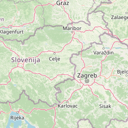
Map view of Geopark Karawanken

Use this park location map to pinpoint Geopark Karawanken in Austria, understand its exact geographic position, and read its mapped placement within the surrounding landscape more clearly.

Pigeon | © OpenStreetMap contributors

Visual reference guide for alpine terrain, gorges, and protected mountain habitats.

Geopark Karawanken Photos and Landscape Scenery

Visual records capture the dramatic alpine relief, deep river gorges, and tectonic rock exposures that define the protected landscape of Geopark Karawanken. Examining these field photographs helps researchers and visitors understand the geological structures and surface topography shaping the border region.

A clear, turquoise mountain creek flowing between steep, light-colored limestone rock formations in a forest gorge.

A high angle view of a small, clear river flowing over grey limestone rock formations in a canyon setting.

A close-up shot of a cave interior with stalactites hanging from the ceiling above a calm, glowing pool of water.

A low-angle view inside a cave with textured rock walls and stalactites, showing a small, brightly illuminated underground lake in the center.

Park atlas

Compare adjacent alpine geography and connected regional conservation areas

Parks Near Geopark Karawanken and Surrounding Protected Landscapes

Browsing other protected areas near Geopark Karawanken reveals a continuous alpine terrain defined by shared tectonic geology and deep mountain valleys. Expanding the geographic comparison provides valuable context on neighboring protected landscapes and regional mountain ranges.
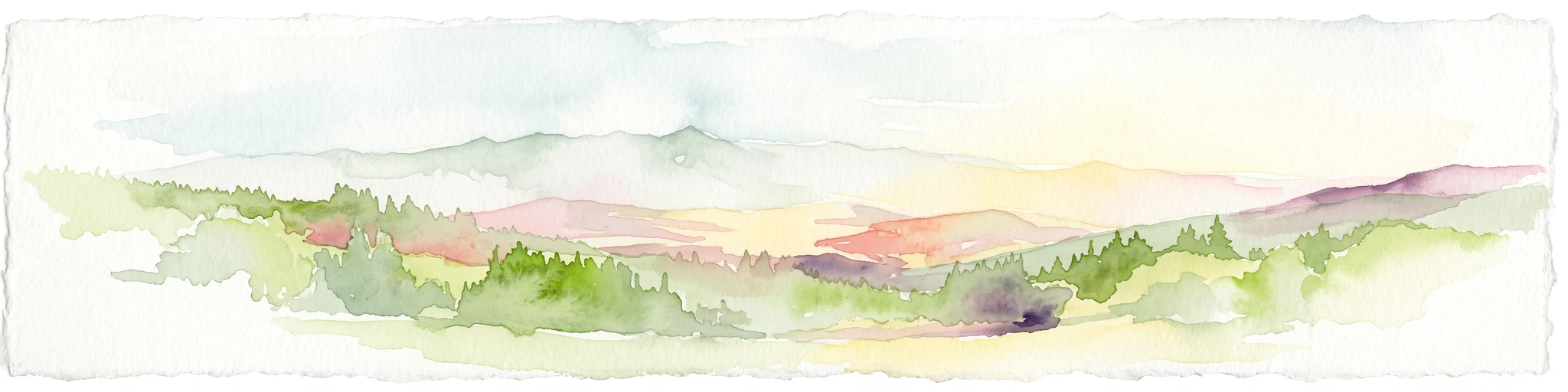
Watercolor illustration of a river flowing through a forested valley with mountains in the background
National parkSlovenia
About 49 km away#1 closest

West

Triglav National Park: A Mapped Alpine Protected Landscape in Slovenia

Julian Alps geography, glacial lakes, and karst terrain.

Triglav National Park is Slovenia's premier protected area, covering 880 square kilometers of the Julian Alps. This page details its dramatic alpine geography, including Mount Triglav, glacial valleys, and significant karst features. Understand the mapped boundaries and landscape context of this national park, a key entry in the MoriAtlas geographic discovery resource for understanding protected lands.

Area
880 km²
Established
1981
IUCN
II
Visitors
1.6M annual
Protected areaStyria
About 53 km away#2 closest

North

Zirbitzkogel Protected Area: Mapping the Alpine Landscapes and Glacial Terrain of the Seetal Alps

High mountain geography and protected terrain in Styria, Austria

Zirbitzkogel represents the highest point of the Seetal Alps, characterized by crystalline geology, slate, and gneiss. The landscape features a clear progression from subalpine spruce and larch forests to broad, level summit plateaus covered in ragged sedge grasslands. Beyond its alpine vegetation and glacial tarns, the area serves as a critical protected habitat for diverse alpine fauna, offering an ideal setting for understanding regional alpine ecology and complex mountain landforms.

Established
2006
Relief
Mountain
Climate
Alpine
Access
Easy access
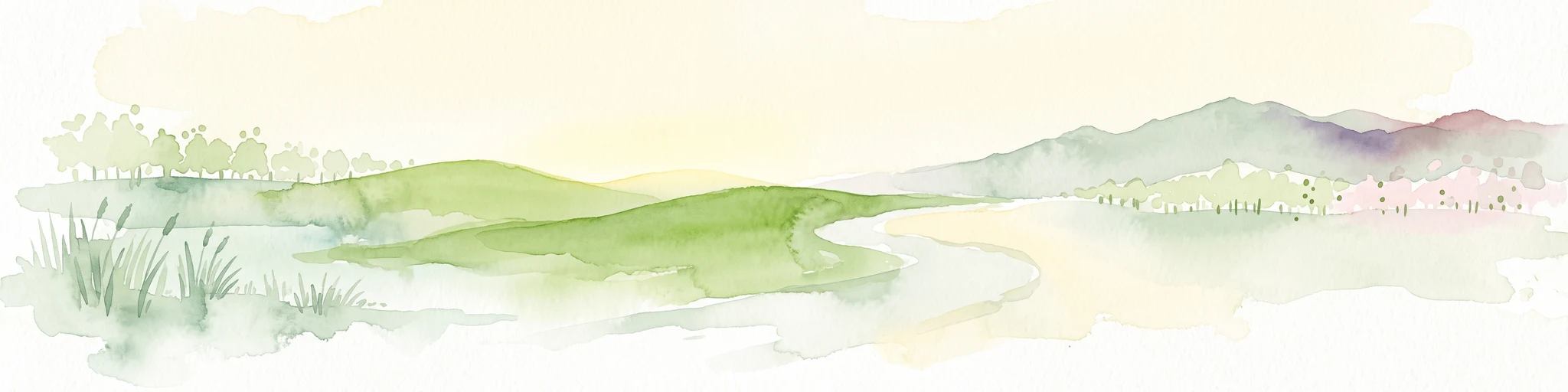
A soft watercolor painting of a wetland landscape featuring green meadows, gentle rolling hills, and a river flowing through the scene.
Nature reserveSlovenia
About 65 km away#3 closest

South

Naturreservat Iški morost: Protected Nature Reserve and Wetland Landscape in Central Slovenia

Mapped protected wetlands of the Ljubljana Marsh region

Naturreservat Iški morost serves as a primary conservation site for the distinct wet meadow habitats of the Ljubljana Marsh. This reserve demonstrates the intersection of wetland geography and bird conservation, protecting a crucial, coherent landscape that is rare in contemporary Slovenian lowlands.

Area
0.65 km²
IUCN
Ia
Relief
Lowland
Climate
Temperate
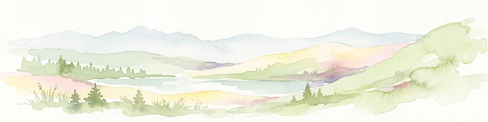
A watercolor painting showing a wide, panoramic view of rolling, grassy mountain slopes with soft pastel colors and small evergreen trees.
Protected landscapeCarinthia
About 84 km away#4 closest

Northwest

Nock Mountains National Park: Mapping the Rounded Alpine Summits and Glacial Terrain of Carinthia

A protected alpine landscape and UNESCO Biosphere Reserve in the Austrian Alps

Discover the geographic character of Nock Mountains National Park, where the Gurktal Alps transition into sweeping, grass-covered dome summits. This protected area offers a look at a unique Tertiary land surface that survived the last Ice Age, supporting a mosaic of larch forests, alpine pastures, and high-altitude lakes that define the regional geography of southern Austria.

Area
184 km²
Established
1987
IUCN
V
Relief
Mountain
Protected landscapeSlovenia
About 91 km away#5 closest

Southwest

Ternowaner Wald Protected Landscape: Karst Plateau and Forest Geography in Slovenia

Dinaric highland exploration and protected terrain mapping.

Ternowaner Wald is a prominent limestone plateau located in southwestern Slovenia. Characterized by deep karst phenomena including sinkholes and the Great Ice Cave in Paradana, the area represents a critical ecological junction of mixed Dinaric beech and fir forests. This overview details the plateau boundaries, tectonic features, and protected status of this diverse highland geography.

Relief
Mountain
Climate
Temperate
Access
Moderate access
Scope
Terrestrial
National parkStyria
About 107 km away#6 closest

North

Gesäuse National Park: Detailed Protected Landscape and Alpine Geography in Styria

Explore Austria's dramatic river gorge and rugged peaks.

Gesäuse National Park in Styria represents a significant alpine protected area, characterized by the striking Enns river gorge cutting through the Gesäuseberge. This national park offers a unique geographic context, showcasing steep limestone peaks, dramatic rock faces, and a rich hydrological network. Discover the mapped boundaries and protected landscape of one of Austria's most visually striking natural passages, ideal for detailed atlas exploration and understanding alpine conservation.

Area
110 km²
Established
2002
IUCN
II
Relief
Mountain
National parkAustria
About 111 km away#7 closest

West

Hohe Tauern National Park: Regional Geography and Protected Alpine Mountain Terrain

Major protected area in the heart of the Austrian Alps

Hohe Tauern National Park protects a grand scale of alpine terrain, including towering summits above 3,000 meters and the longest glacial systems in the country. This atlas record provides insights into the park's vertical landscape, encompassing glacial valleys, waterfalls, and diverse ecological zones that define the High Tauern mountain range in Austria.

Regional parkSlovenia
About 112 km away#8 closest

Southwest

Škocjan Caves Regional Park: Mapped Karst Landscape and UNESCO World Heritage Site in Slovenia

Discover its profound underground river canyon and doline geography.

Škocjan Caves Regional Park in Slovenia is a protected karst landscape of global importance, renowned for its vast subterranean system and the Reka River's underground journey. This site, a UNESCO World Heritage designation, features dramatic collapse dolines like Mala and Velika dolina, alongside immense cave chambers that illustrate classic karst hydrology. It serves as a key reference point for understanding regional geology and protected area networks within southeastern Europe's unique terrains.

Area
4.15 km²
Established
1996
IUCN
V
Relief
Lowland

Common questions about visiting, size, designation, and location context for Geopark Karawanken

Geopark Karawanken FAQs for park facts, access, geography, and protected area context

Find quick answers about Geopark Karawanken, including protected-area facts, park geography, trail and visitor context, and how the park fits into its surrounding country and regional landscape.
MoriAtlas Explorer

Continue Your Protected Areas Search Across the Global Atlas

Deepen your exploration by continuing the structured search for national parks and protected areas worldwide. Utilize the comprehensive filtering capabilities to compare different conservation landscapes and refine your understanding of global park geography. Discover more about the distribution and characteristics of protected natural areas.

Global natural geography