
Mori Atlas logo
Protected landscapeGreen Mountain National Forest

Tracing the ridgelines, forest corridors, and designated wilderness zones across the Green Mountains

Green Mountain National Forest: A Comprehensive Geographic Atlas of Vermont’s Protected Wilderness Landscapes

Green Mountain National Forest serves as a central conservation anchor along the spine of Vermont, preserving nearly 400,000 acres of hardwood slopes, spruce-fir communities, and rugged mountain terrain. This protected landscape encompasses eight federal wilderness areas and two national recreation areas, forming a continuous ecological corridor through the northeastern United States. The forest provides a vital map-based look at the transition from high-elevation ridgelines to sheltered river valleys, highlighting the intersection of ancient geological formations and long-distance trail systems.

national forestVermontGreen MountainsNew EnglandAppalachian TrailLong Trail
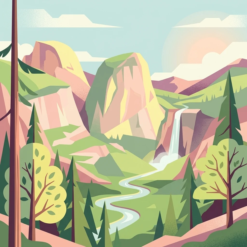
A flat-design, vector-style illustration showing a valley with large rock formations, a winding river, a waterfall, and evergreen trees under a soft-toned sky.

Green Mountain National Forest

Protected landscape

Park overview

Structured park overview, official facts, and landscape profile for Green Mountain National Forest

Green Mountain National Forest park facts, protected area profile, and essential visitor context

Review the core facts for Green Mountain National Forest, including designation, size, terrain, visitor scale, habitats, and operating context in one park-focused overview.

About Green Mountain National Forest

Green Mountain National Forest is the dominant public forest landscape of Vermont, stretching across the central spine of the state along the Green Mountains. The forest is administered by the United States Forest Service and is part of the broader National Forest System, but it is unusual among eastern national forests in that large portions of its boundary remain in private or non-federal ownership. Only about half of the acreage within the forest's official boundary is federally administered, while the remainder consists of private woodland, towns, and other land uses within the proclaimed forest boundary.

Geographically, the forest occupies parts of six Vermont counties, with most of its acreage falling within Bennington, Addison, Rutland, Windham, Windsor, and Washington counties. The forest headquarters are located near Rutland in Mendon, Vermont, and the forest is jointly administered with New York's Finger Lakes National Forest. The terrain is defined by the Green Mountains themselves, a north-south-trending range that forms the geographic and cultural centerpiece of Vermont. Elevations, ridge systems, narrow stream valleys, and a mix of northern hardwood and high-elevation conifer forest give the forest a varied but consistently mountainous character.

Ecologically, the forest lies within the New England/Acadian forests ecoregion, part of the broader temperate broadleaf and mixed forest biome that characterizes much of the northeastern United States. It supports moose, black bear, white-tailed deer, beaver, wild turkey, ruffed grouse, and a range of other wildlife typical of New England mixed forests. Because it spans the full north-south length of Vermont's mountain spine, the forest also provides critical high-elevation habitat for species such as Bicknell's thrush, which depends on the cooler, stunted spruce-fir forests found near the tops of the higher peaks.

Recreationally, the forest is a centerpiece of Vermont's outdoor culture. It contains three nationally designated trails: the Appalachian Trail, the Long Trail, and the Robert Frost National Recreation Trail. Three alpine ski areas, seven Nordic ski areas, and approximately 900 miles of multiple-use trails accommodate hiking, cross-country skiing, snowmobiling, horseback riding, and bicycling. Beyond these developed uses, eight wilderness areas and two national recreation areas provide protected backcountry and semi-primitive landscapes, balancing traditional multiple-use forestry, recreation, and ecological protection in a region that has been densely settled for centuries.

Quick facts and research context for Green Mountain National Forest

Green Mountain National Forest is located in Vermont and is managed by the U.S. Forest Service. It was established on April 25, 1932, originally as a modest federal holding within a much larger boundary that included mostly non-federal land. Over the decades the forest expanded, and today the federal portion covers roughly 399,000 acres within a broader boundary of more than 821,000 acres. It is one of only two national forests in New England, the other being the White Mountain National Forest in New Hampshire.

Protection and recognition

Documented terrestrial protection scope and international recognition records

Green Mountain National Forest Protection Status and Recognition Data

Green Mountain National Forest holds a documented terrestrial protection scope within official conservation inventories. Structured records detail the established designation framework and international recognition status associated with the protected landscape.

Protection details

Protection scope
Terrestrial
Transboundary protection
No
Park context

Deeper park guide and search-rich context for Green Mountain National Forest

Green Mountain National Forest history, landscape, wildlife, and travel context

Explore Green Mountain National Forest through its history, landscape character, ecosystems, wildlife, conservation priorities, cultural context, and seasonal travel timing in a structured park guide built for atlas discovery and search intent.

Why Green Mountain National Forest stands out

Green Mountain National Forest is best known for protecting a long stretch of Vermont's Green Mountains, including high ridgelines, hardwood and conifer forests, and one of the densest clusters of designated wilderness in the eastern United States. It is closely associated with the Appalachian Trail, the Long Trail (the oldest long-distance hiking trail in the United States), and the Robert Frost National Recreation Trail, all of which pass through its boundaries. The forest is also recognized for its eight wilderness areas, which together preserve significant swaths of backcountry forest, alpine peaks, and remote stream valleys. Combined with the Moosalamoo and White Rocks National Recreation Areas, the forest offers a blend of designated wilderness, motorized recreation, and traditional multiple-use landscapes that is unusual in the densely settled northeastern United States.
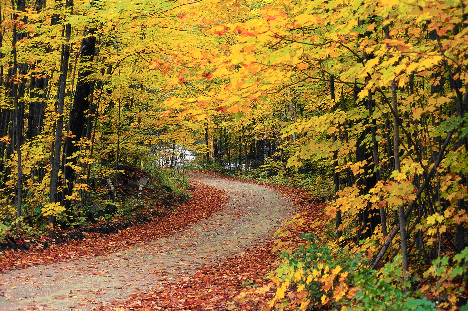
A dirt road curving through a forest during peak autumn with bright yellow and orange leaves on the trees and fallen leaves covering the road.
A winding gravel road framed by vibrant autumn foliage in Green Mountain National Forest.

Green Mountain National Forest history and protected-area timeline

Green Mountain National Forest was established on April 25, 1932, in the wake of severe environmental degradation across Vermont's mountains. Earlier in the twentieth century, intensive logging, widespread forest fires, and flooding had stripped the Green Mountains of much of their original forest cover. As a result, watershed conditions deteriorated, erosion intensified, and the region's rural economy suffered. The federal forest was created as a direct response to this crisis, with the goal of restoring forest cover, stabilizing watersheds, and providing a more sustainable framework for timber management and recreation.

At the time of its establishment, the forest boundary covered roughly 102,100 acres, but only about 1,800 acres of that land were actually owned and administered by the federal government. The rest of the boundary consisted of private and other non-federal land that the forest proclamation aimed to influence and, over time, consolidate. Over the following decades the forest expanded, particularly through federal land acquisitions, and by 2011 the federally administered portion had grown to roughly 399,000 acres within an overall boundary of more than 821,000 acres.

The second half of the twentieth century brought increasing recognition of the forest's wilderness values. Several wilderness areas were designated through a series of legislative acts: the Eastern Wilderness Areas Act of 1975 added Bristol Cliffs and Lye Brook, the Vermont Wilderness Act of 1984 added Breadloaf, Big Branch, Peru Peak, and George D. Aiken, and the New England Wilderness Act of 2006 added Joseph Battell and Glastenbury. The same era also saw the creation of two national recreation areas, Moosalamoo and White Rocks, which balanced the forest's preservation role with broader public recreation. More recently, the American Reinvestment and Recovery Act of 2009 provided additional funding to support infrastructure, wildlife management, and forest regeneration work, including small-scale reforestation and habitat projects.

Green Mountain National Forest landscape and geographic character

Green Mountain National Forest is shaped by the long ridgeline of the Green Mountains, a north-south-trending spine of ancient metamorphic and igneous rock that gives the forest its name and much of its character. Elevations vary across the range, with mountaintops exceeding 4,000 feet in places and slopes descending into narrower valleys and stream corridors. The terrain is rugged but rounded by long geological history, with glacially carved basins, exposed ridgelines, and steep but generally forested slopes.

The forest's landscape includes a mix of high ridges, mid-elevation hardwood forests, and valleys that follow Vermont's rivers and streams. High-elevation areas, particularly in the southern and central portions of the range, often host cooler, stunted spruce-fir forests, while lower slopes and valley sides are dominated by northern hardwoods such as sugar maple, beech, yellow birch, and ash. Several of the forest's better-known peaks and gaps are tied to long-distance hiking routes, and the rolling transition between mountain and valley creates the visual rhythm that defines much of Vermont's countryside.

Green Mountain National Forest ecosystems, habitats, and plant life

Ecologically, Green Mountain National Forest sits within the New England/Acadian forests ecoregion, a temperate broadleaf and mixed forest biome heavily shaped by post-glacial forest succession and centuries of selective human use. The forest's vegetation patterns reflect both elevation and land-use history: lower and middle elevations support rich northern hardwood stands, while the higher peaks and exposed ridgelines carry cooler conifer communities, including balsam fir and red spruce, that provide important habitat for cold-adapted species.

Because the forest spans the full north-south length of Vermont's mountain spine, it acts as a continuous ecological corridor through some of the most forested terrain in the state. It connects high-elevation habitats with lower valley forests, creating varied conditions for plant communities and the animals that depend on them. The forest also includes important riparian and wetland habitats along its streams and ponds, supporting amphibians, aquatic invertebrates, and a network of small headwater streams that ultimately feed larger Vermont and New Hampshire river systems. The combination of protected wilderness, multiple-use forest, and designated recreation areas results in a mosaic that ranges from near-pristine backcountry to actively managed working forest.

Green Mountain National Forest wildlife and species highlights

Green Mountain National Forest hosts a varied community of wildlife typical of New England's mixed broadleaf and conifer forests. Mammals in the forest include moose, black bear, white-tailed deer, beaver, and eastern coyote, while common smaller species include red fox, bobcat, fishers, and porcupines among many others. The forest's size and the extent of relatively unbroken habitat allow it to support viable populations of wide-ranging species such as black bear and moose, both of which are emblematic of Vermont's modern wilderness character.

The forest is also significant for its birdlife. Wild turkey and ruffed grouse are widespread in the hardwood and mixed forests and have been focal species for active habitat management efforts within the forest. At higher elevations, Bicknell's thrush, a high-elevation specialist restricted to northeastern mountaintop forests, relies on the spruce-fir habitats found on the forest's higher peaks. Trout, salmon, and other cold-water fish inhabit the forest's streams, and amphibians such as salamanders are common in moist forest and wetland environments. The forest's location along the Appalachian migration corridor and its high proportion of forested land make it a regionally important area for both resident and migratory wildlife.

Green Mountain National Forest conservation status and protection priorities

Green Mountain National Forest plays a central role in conservation across Vermont. Its very establishment was a conservation act, designed to reverse the effects of overlogging, forest fire, and flooding that had degraded the Green Mountains in the late nineteenth and early twentieth centuries. Today the forest protects hundreds of thousands of acres of forestland, stabilizes watersheds that feed streams and rivers used for downstream agriculture and drinking water, and conserves habitat for species that depend on large, contiguous forests.

The forest's eight designated wilderness areas represent some of the most strictly protected landscapes in the state, preserving backcountry forest conditions, high-elevation habitat for Bicknell's thrush, and remote watersheds while prohibiting motorized and mechanical use. Beyond wilderness, the broader national forest boundary provides a framework for managing forest regeneration, timber, recreation, and wildlife habitat across a much larger landscape. Active conservation work within the forest includes stand-level management for ruffed grouse, wild turkey, black bear, trout, salmon, and Bicknell's thrush, selective reforestation of small cleared areas, and ongoing monitoring of invasive threats such as the emerald ash borer, which poses a significant risk to ash trees throughout Vermont.

Green Mountain National Forest cultural meaning and human context

Green Mountain National Forest is deeply intertwined with Vermont's cultural identity. The Green Mountains themselves are a defining symbol of the state, and the forest that bears their name sits at the heart of an outdoor recreation tradition that defines much of Vermont tourism and rural life. The Long Trail, often associated with the Green Mountain Club, is among the oldest long-distance hiking trails in the United States, and much of that trail's history is linked to the forest's ridgelines.

The forest also preserves public access to landscapes shaped by Vermont's long history of small-scale farming, logging, and rural settlement. Several of its wilderness areas are named for figures who shaped the region's environmental and literary history, including the George D. Aiken Wilderness, named for the longtime Vermont senator and conservation advocate, and the Breadloaf Wilderness, associated with the Breadloaf area of the Green Mountains. The Robert Frost National Recreation Trail adds a literary dimension, connecting the forest to one of New England's most celebrated poets. Ski areas such as Mount Snow, Stratton Mountain, and Bromley Mountain also tie the forest to Vermont's modern recreation economy, blending traditional conservation with the state's well-developed outdoor culture.

Top sights and standout views in Green Mountain National Forest

Green Mountain National Forest's standout features include its eight designated wilderness areas, its continuous ridgeline along the Green Mountains, and its role as host to major long-distance trails, including the Appalachian Trail, the Long Trail, and the Robert Frost National Recreation Trail. The forest's two national recreation areas, Moosalamoo and White Rocks, combine wilderness protection with broader public recreation, while alpine and Nordic ski areas, together with roughly 900 miles of multiple-use trails, make it one of the most trail-rich landscapes in the northeastern United States.

Best time to visit Green Mountain National Forest

Green Mountain National Forest varies dramatically with the seasons, and the best time to visit depends largely on what kind of experience a visitor is seeking. Summer and early fall are typically the most popular periods for hiking, backpacking, and scenic drives, with late September through mid-October often considered peak foliage season in Vermont, when the hardwood forests of the lower and middle elevations turn to brilliant reds, oranges, and yellows.

Winter brings extensive snow cover and transforms the forest into a hub for cross-country skiing, snowshoeing, and snowmobiling, particularly in the flatter northern sections and along designated multiple-use trails. Spring can be muddy and unpredictable at lower elevations, with lingering snow on high-elevation ridges, while high summer can occasionally bring warmer, humid conditions that bring biting insects, especially in wetter areas. Wildlife viewing tends to be productive across multiple seasons, but dawn and dusk hours and cooler months often offer the best chances of seeing active wildlife such as moose and black bear.
Monthly climate preview

Long-term representative temperature and monthly precipitation records across the protected terrain

Green Mountain National Forest Climate Normals and Annual Weather Patterns

Green Mountain National Forest records long-term average monthly temperatures ranging from severe winter lows to warm summer maximums alongside consistent year-round precipitation. Exploring the complete twelve-month climatology profile reveals deeper numerical context for temperature ranges and precipitation totals.
Annual mean6 °C
-9 °C20 °C
Jan-9°
Feb-8°
Mar-2°
Apr
May12°
Jun18°
Jul20°
Aug19°
Sep15°
Oct
Nov
Dec-5°
Warmest month
July

20 °C

Coolest month
January

-8.8 °C

Wettest month
June

3.8 mm/day

Driest month
February

2.1 mm/day

Park location guide

Geography guide, regional context, and park location map for Green Mountain National Forest

Green Mountain National Forest park geography, regions, and map view in United States of America

Understand where Green Mountain National Forest sits in United States of America through a broader geographic reading of the surrounding landscape, nearby location context, and its mapped position within the national park landscape.

How Green Mountain National Forest fits into United States of America

The United States of America is a federal presidential republic and one of the world's largest countries by area and population. It consists of 50 states across a vast territory spanning multiple time zones, with its capital in Washington, D.C. and largest city in New York City. The nation has a diverse economy, influential political system, and significant cultural and military presence globally.

Wider geography shaping Green Mountain National Forest in United States of America

The United States occupies a vast territory in North America, bordered by Canada to the north and Mexico to the south. The 48 contiguous states stretch from the Atlantic to the Pacific Ocean, while Alaska occupies the northwestern region and Hawaii is an archipelago in the Pacific. The country encompasses diverse terrain including the Rocky Mountains, Appalachian Mountains, Great Plains, and extensive river systems.

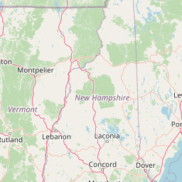
Map view of Green Mountain National Forest

Use this park location map to pinpoint Green Mountain National Forest in United States of America, understand its exact geographic position, and read its mapped placement within the surrounding landscape more clearly.

Pigeon | © OpenStreetMap contributors

Location context for Green Mountain National Forest

Vermont
Recorded earthquake history

Browse the Historical Earthquake Catalogue for Green Mountain National Forest

Explore the documented history of seismic events associated with Green Mountain National Forest. This MoriAtlas collection tracks regional records to provide a clear view of historical activity near the boundaries of this expansive Vermont forest.

Green Mountain National Forest Earthquake History

Catalogued events

1 event

Strongest magnitude

Magnitude 3.1

Most recent event

Mar 11, 2020

This history includes earthquakes recorded inside the park or within 50 km of its borders

Explore the terrain, hardwood forests, and protected wilderness of Vermont through detailed imagery.

Green Mountain National Forest Photos and Scenery: Visualizing Vermont Ridges

Green Mountain National Forest photos reveal the rugged terrain, hardwood slopes, and high ridgelines defining Vermont's protected landscape. Visualizing these forested environments helps observers understand the regional ecology and vast wilderness character more clearly.

A dirt road curving through a forest during peak autumn with bright yellow and orange leaves on the trees and fallen leaves covering the road.

Park atlas

Compare regional mountain ranges, forested ridges, and adjacent conservation areas

Explore Parks Near Green Mountain National Forest and Surrounding Protected Landscapes

Browse nearby national forests and protected natural areas that share the rugged terrain of the northeastern ridgelines. Comparing adjacent conservation landscapes reveals broader regional topography and connected wildlife corridors.
Wildlife reserveBennington County
Park boundaries overlap#1 closest

South

George D. Aiken Wilderness: Protected Forest Landscapes and Ridgelines in Vermont

Detailed geographic overview of a Green Mountain wilderness reserve

Spanning over 4,800 acres in Bennington County, the George D. Aiken Wilderness stands as a significant protected area within the southern Green Mountains. The terrain features narrow ridgelines, steep valleys, and a dense canopy of northern hardwoods that remain unmanaged to maintain wilderness standards. This area serves as a primary geographic anchor for Eastern wilderness preservation efforts in the United States.

Area
19 km²
Established
1984
IUCN
Ib
Relief
Mountain
Protected areaAddison County
Mapped location lies within the park boundary#2 closest

Southeast

Joseph Battell Wilderness: Mapping Protected Ridges in the Green Mountain National Forest

A high-elevation Appalachian landscape in Addison County, Vermont.

Spanning over twelve thousand acres, the Joseph Battell Wilderness preserves a critical core of the Green Mountains. This protected area features dramatic cliff faces like Mount Horrid and a continuous sequence of summits exceeding three thousand feet. The region provides a deep look at northern hardwood habitats and the geographic influence of the Long Trail within the broader Vermont mountain landscape.

Area
49.92 km²
Established
2006
Relief
Mountain
Climate
Temperate
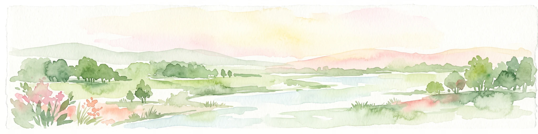
A horizontal watercolor painting depicting a winding river flowing through a lush, forested valley with rolling hills in the background.
Wildlife reserveVermont
Park boundaries overlap#3 closest

South

Lye Brook Wilderness: Protected High Plateau and Forest Geography in Southern Vermont

Mapped wilderness boundaries within the Green Mountain National Forest

Spanning nearly 18,000 acres, Lye Brook Wilderness offers a deep dive into southern Vermont's natural geography. The area features a high forested plateau, complex brook valleys, and elevated ridgelines that characterize this established wilderness reserve. Ideal for those studying the regional landscape and its protected ecosystem, this record provides essential context on the forest cover, glacial terrain, and the geographic significance of this Vermont backcountry unit.

Area
73.34 km²
Established
1975
IUCN
Ib
Protected landscapeVermont
Mapped location lies within the park boundary#4 closest

South

Robert T. Stafford White Rocks National Recreation Area: Protected Landscape and Regional Geography

Southern Vermont wilderness, quartzite formations, and Appalachian Trail corridors.

Robert T. Stafford White Rocks National Recreation Area represents a unique fusion of protected forest and rugged geological character in southern Vermont. Known for the quartzite rockslides of Chaos Canyon and its inclusion of two distinct wilderness areas, this territory offers a complex terrain profile. Spanning over 36,000 acres, it serves as a central hub for regional backcountry exploration, blending dense hardwood ecosystems with the prominent rocky outcrops that define its distinct mountainous identity.

Area
147 km²
Established
1984
Water
Major water bodies
Protected landscapeNew Hampshire
20 km away#5 closest

East

White Mountain National Forest: Protected Landscape Atlas and Geographic Boundary Context

Mapping the alpine ridges and river valleys of New Hampshire

Delve into the geography of White Mountain National Forest, a primary federal protected landscape in the eastern United States. This overview details the mountainous terrain, including the Presidential Range and Pemigewasset Wilderness, providing a clear window into its spatial scale, watershed boundaries, and regional prominence within the New England landscape.

Area
3,038.59 km²
Established
1918
Relief
Mountain
Climate
Temperate
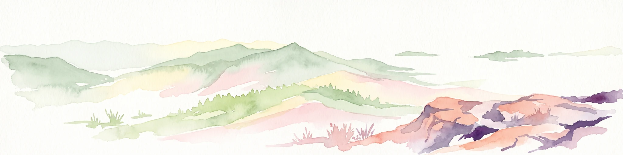
A horizontal watercolor painting showing a wide coastal estuary with gentle hills in the background, a winding body of water in the middle ground, and soft green trees and shrubs in the foreground.
Nature reserveNew Hampshire
About 137 km away#6 closest

Southeast

Great Bay National Estuarine Research Reserve: Protected Coastal and Estuarine Geography

Regional tidal habitat and protected watershed in New Hampshire

Great Bay National Estuarine Research Reserve protects a vital coastal landscape characterized by broad tidal basins, fringing salt marshes, and inland woodlands. Located in southeastern New Hampshire, this nature reserve serves as an essential site for studying the intersection of freshwater and saltwater ecosystems, preserving a mosaic of land and water that illustrates the complex geography of the Atlantic coast.

Area
41.42 km²
Established
1989
Relief
Lowland
Climate
Temperate
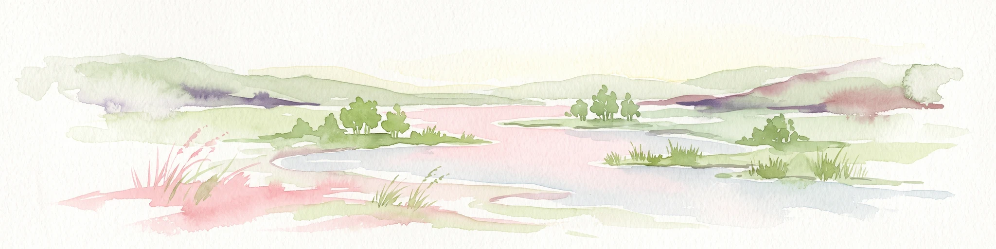
A soft, painterly watercolor illustration showing a shallow waterway, green grassy islands, and soft rolling hills in the distance.
Nature reserveQuebec
146 km away#7 closest

North

Îles de la Paix Migratory Bird Sanctuary: Protected Island Geography and Wetland Maps

A vital riverine habitat within the St. Lawrence River basin

Examine the unique river-island topography of the Îles de la Paix Migratory Bird Sanctuary in Quebec. This protected area offers a rare glimpse into a dynamic landscape of marshes and flooded forests, serving as a critical node in the St. Lawrence River migratory flyway near the Montreal metropolitan region.

Area
10.92 km²
Established
1972
IUCN
III
Relief
Lowland
A soft, watercolor painting of a calm river winding through a green landscape with trees and rolling hills in the background.
Wildlife reserveQuebec
About 147 km away#8 closest

North

Réserve nationale de faune des îles de la Paix: Geography of an Island Wetland Refuge

A protected wildlife corridor in southwestern Quebec

The Réserve nationale de faune des îles de la Paix comprises a cluster of islands and protected wetlands in the St. Lawrence River. This site provides critical nesting and staging grounds within a managed habitat system, connecting forested terrestrial areas with expansive aquatic zones essential for migratory bird species.

Area
1.87 km²
Established
1977
IUCN
Ia
Relief
Lowland

Common questions about visiting, size, designation, and location context for Green Mountain National Forest

Green Mountain National Forest FAQs for park facts, access, geography, and protected area context

Find quick answers about Green Mountain National Forest, including protected-area facts, park geography, trail and visitor context, and how the park fits into its surrounding country and regional landscape.
MoriAtlas Explorer

Continue Your Protected Areas Search Across the Global Atlas

Deepen your exploration by continuing the structured search for national parks and protected areas worldwide. Utilize the comprehensive filtering capabilities to compare different conservation landscapes and refine your understanding of global park geography. Discover more about the distribution and characteristics of protected natural areas.

Global natural geography