Why Gunung Gading National Park stands out
Gunung Gading National Park is best known for being one of the few locations in Borneo where the massive Rafflesia tuan-mudae can be observed in bloom. This parasitic flowering plant produces the largest individual flower in the world, and the park was established specifically to protect this endangered species and its habitat. The park also hosts Amorphophallus titanum, the Titan arum, another massive and rare plant species that blooms even less frequently than Rafflesia. Beyond these botanical highlights, the park protects significant tracts of lowland and hill dipterocarp rainforest in a region where such forest has otherwise been largely cleared.
Gunung Gading National Park history and protected-area timeline
Gunung Gading National Park was established in 1983 with the explicit purpose of protecting Rafflesia tuan-mudae, one of the world's largest and most endangered flowering plants. The establishment was driven by the need to conserve both the rare plant species and its surrounding habitat in the face of increasing threats to Borneo's lowland forests. Initially, the park received minimal visitation from international tourists and served primarily as a domestic destination. The development of park facilities in the mid-1990s sparked increased interest among Malaysian tourists, with visitor numbers peaking in 1995. Although tourism declined in subsequent years, the park has since experienced gradual growth in international visitors. A visitor center was constructed at the park headquarters, designed to resemble a traditional Bidayuh head-house, serving as an educational facility for conservation awareness and housing exhibits related to Rafflesia and the park's ecological significance.
Gunung Gading National Park landscape and geographic character
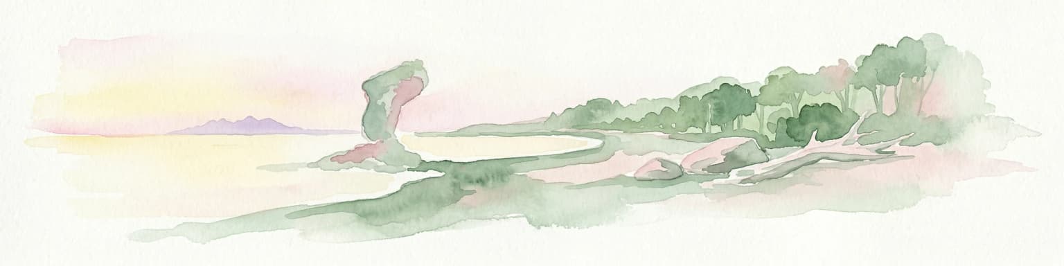
The landscape of Gunung Gading National Park is defined by its hilly tropical rainforest terrain centered on granite slopes and valleys. The park contains two main hills, with Gunung Gading itself forming the prominent feature that gives the park its name. The terrain rises from the lower forested areas through steep slopes to the hill summits, creating a varied topography within a relatively compact area. The underlying granite geology contributes to the park's distinctive character and influences the soil and moisture conditions that support the forest ecosystem. A series of streams descend through the park, cascading over rock formations to create multiple waterfalls, with the Waterfall Trail providing access to seven distinct cascades. The surrounding landscape beyond the park boundary includes agricultural land and coastal areas near Lundu, with the park representing a preserved core of natural forest amid a modified landscape.
Gunung Gading National Park ecosystems, habitats, and plant life
Gunung Gading National Park protects a representative example of Borneo's lowland and hill dipterocarp rainforest ecosystem, an environment that has been dramatically reduced across its former range in northwest Borneo. The forest here supports a complex community of plant species adapted to the tropical conditions, with the dipterocarp family dominating the canopy. Beyond the commercially important dipterocarp trees, the forest contains a rich understory and diverse plant life that characterizes healthy tropical rainforest. The park is particularly notable for two remarkable plant species: Rafflesia tuan-mudae, a massive parasitic flowering plant that produces the world's largest flower, and Amorphophallus titanum, the Titan arum, which produces one of the world's largest unbranched flower structures. Both species bloom infrequently and unpredictably, making sightings rare and special occasions that park rangers work to communicate to visitors when conditions arise.
Gunung Gading National Park wildlife and species highlights
While the Wikipedia source emphasizes the park's botanical treasures, particularly Rafflesia and Titan arum, the park's rainforest environment supports a diversity of animal life typical of Borneo's lowland forests. The forest provides habitat for numerous species of birds, insects, and other wildlife adapted to the tropical ecosystem. The presence of streams and freshwater ponds within the park creates additional habitat diversity. The long-nosed horned frog, a distinctive amphibian species found in Borneo's rainforests, has been documented in the park. The park's protected status helps preserve habitat for wildlife in a region where lowland forest has been extensively cleared for agriculture and development.
Gunung Gading National Park conservation status and protection priorities
Gunung Gading National Park was established specifically for the conservation of Rafflesia tuan-mudae, highlighting the species' endangered status and the urgency of protecting its habitat. The park represents one of the more extensive remaining fragments of the lowland and hill rainforest that once covered all of northwest Borneo, making it significant for regional conservation. The protection of this forest ecosystem also benefits the broader community of species that depend on these habitats, from rare plants to various animal species. The park's management by the Sarawak Forestry Corporation includes conservation education efforts through the visitor center, which houses exhibits about Rafflesia and the park's ecological significance. The unpredictable nature of Rafflesia flowering creates conservation challenges, as the species requires specific conditions to bloom, and park staff coordinate with travel agencies to inform visitors when flowering events are anticipated.
Gunung Gading National Park cultural meaning and human context
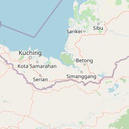
Gunung Gading National Park is located in Sarawak near the town of Lundu, a region with indigenous Bidayuh communities. The park's visitor center was designed to resemble a traditional Bidayuh head-house, reflecting the cultural heritage of the local area. The Bidayuh are one of the indigenous peoples of Sarawak, and their traditional architectural styles have been incorporated into the park's facilities as a way to acknowledge and honor the local cultural context. The park's setting near Lundu places it within a landscape where human communities have traditionally interacted with the forest environment, though the protected area itself is now managed primarily for conservation and nature-based recreation.
Top sights and standout views in Gunung Gading National Park
Gunung Gading National Park offers several distinctive highlights that set it apart among Borneo's protected areas. The opportunity to observe Rafflesia tuan-mudae in bloom represents the park's most famous attraction, drawing visitors interested in witnessing one of the world's most remarkable plant species. The Waterfall Trail through seven cascades provides a scenic hiking experience through pristine forest. The summit trail to the top of Gunung Gading presents a more challenging trek for those seeking broader views of the surrounding landscape. The relatively compact size of the park makes it accessible for day trips from Kuching while still offering substantial natural experience. The chance to see Titan arum, another massive and rare flowering plant, adds to the botanical significance of the park.
Best time to visit Gunung Gading National Park
The best time to visit Gunung Gading National Park coincides with the dry season in Sarawak, typically from March through October, when conditions are more favorable for hiking the forest trails. However, Rafflesia flowering is inherently unpredictable and can occur at various times throughout the year, not following seasonal patterns. Park rangers monitor flowering conditions and notify travel agencies when blooms are expected, allowing visitors to potentially time their visits accordingly. The wet season from November to February brings higher rainfall, which can affect trail conditions and visibility but also contributes to the lush forest environment. Year-round visitation is possible, though visitors interested in specific botanical highlights should coordinate with park authorities or local tour operators to inquire about current flowering conditions.