Mori Atlas logo
Park earthquake history

Review recorded epicentre locations, event magnitudes, and depth measurements for the surrounding landscape.

Hassell National Park Earthquake History: Regional Seismic Event Catalogue and Data Records

This collection presents a structured catalogue of historical earthquake events associated with the geographic coordinates of Hassell National Park in Western Australia. Each record provides data on detected seismic activity, including documented magnitudes and epicentre proximity to the park boundaries. Researchers and observers can trace these historical occurrences to understand the regional seismic distribution across the Great Southern coastal plain.

Related tags

Wildlife CorridorWestern AustraliaGreat Southern RegionProtected AreaBanksia

A protected wildlife corridor in Western Australia's Great Southern region

Hassell National Park

Hassell National Park is a modest yet ecologically significant protected area located in the Great Southern region of Western Australia, approximately 367 kilometres southeast of Perth and 57 kilometres northeast of Albany. The park covers an area of 12.65 square kilometres and was established in 1971 to protect a largely intact vegetation and wildlife corridor that traverses the South Coast Highway between the localities of Manypeaks and Wellstead. Named after John Hassell, a retired sea captain who played a pivotal role in opening up extensive pastoral lands in the state's south during the 1850s, the park preserves both natural and historical significance within the southwestern Australian landscape. The protected area lies in a region characterized by diverse coastal and inland ecosystems, serving as a vital connective habitat between several notable environmental areas including Mount Manypeaks, Waychinicup, Cheynes Beach, and the Pallinup River system.

Location
Australia
Park type
National park
Established
1971
Area
12.7 km²
Hassell National Park protected area

Review Hassell National Park dates, depths, places, and distances

Study historical earthquake records around Hassell National Park

Earthquake entries for Hassell National Park are selected by epicentre and distance from its protected banksia and kwongan woodland in Western Australia’s Great Southern region. Dates, magnitudes, depths, locations, separation, and source form a historical dataset without establishing park-boundary occurrence, habitat effects, active danger, causation, damage, or future events.

Sort by
Magnitude
Location

This page describes catalogued earthquakes associated with the park by epicentre location and distance. It does not establish causation, assess current danger, or predict future earthquakes.

No earthquake records match the current filters

Park atlas

Go beyond Hassell National Park earthquake history in the atlas

Discover other protected parks after Hassell National Park

The collection following Hassell National Park broadens discovery beyond its earthquake records and Western Australian wildlife-corridor context. Appearance here does not establish shared regional geography, protected status, landscape, proximity, seismic evidence, hazard, risk, or dedicated earthquake pages, leaving every destination to define its own factual identity.
National parkWestern Australia
7.7 km away#1 closest

South

Waychinicup National Park: National Park Protected Landscape Atlas Entry

Explore Western Australia's mapped natural landscapes and park geography.

Gain a structured understanding of Waychinicup National Park as a key protected landscape within Western Australia. This detailed atlas entry focuses on its geographic distribution and mapped boundaries, providing essential context for regional park and natural landscape exploration. Discover the unique characteristics of this national park's setting and its place within the broader mapped terrain.

Area
39.82 km²
Established
1990
IUCN
II
Relief
Mixed relief
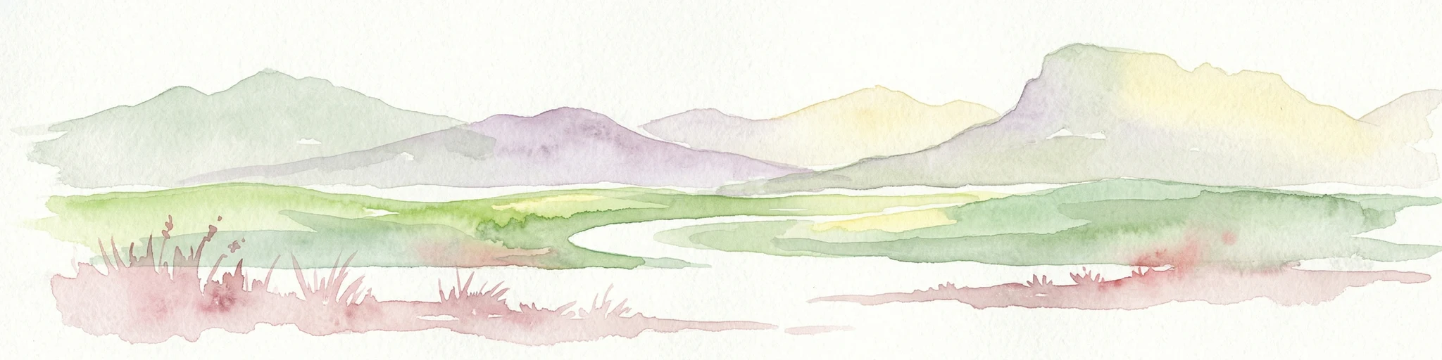
Watercolor illustration showing a landscape with mountains, a winding river, and grassy fields.
National parkWestern Australia
16 km away#2 closest

Northwest

Stirling Range National Park: National Park Protected Area and Geographic Mapping

Discover its mapped boundaries and regional landscape context.

Stirling Range National Park is a protected national park in Western Australia, offering critical insights into regional geography and landscape mapping. This page provides structured information on the park's protected area status, its geographic setting, and its value for atlas-based exploration. Understand the extent of its mapped boundaries and discover its unique natural terrain within the broader context of Western Australia's vast geography.

Area
1,159.2 km²
Established
1913
IUCN
II
Relief
Mountain
National parkWestern Australia
27 km away#3 closest

Southwest

Gull Rock National Park: Protected Landscape and Geographic Atlas Exploration

Discover mapped boundaries and natural terrain in Western Australia.

Gull Rock National Park serves as a key protected area for exploring the geographic diversity of Western Australia. As a national park, it offers a focal point for understanding mapped landscape features, conservation boundaries, and the unique natural terrain of the region. This entry provides essential context for atlas-based discovery of protected lands across Australia.

Area
21.04 km²
Established
2006
IUCN
II
Relief
Lowland
Nature reserveWestern Australia
About 30 km away#4 closest

North

Yarrabee Wesfarmers Reserve: Mapping Woodland Conservation and Regional Geography

A vital protected nature reserve in Western Australia

Yarrabee Wesfarmers Reserve forms a significant link in the regional landscape of Western Australia, protecting marri and jarrah woodland adjacent to the Stirling Range. Through ongoing restoration, the area maintains a mosaic of mallee and Banksia habitats, supporting regional species and contributing to broader environmental connectivity.

Area
9.23 km²
Established
2006
Relief
Upland
Climate
Mediterranean
National parkWestern Australia
30 km away#5 closest

West

Porongurup National Park: Ancient Granite Peaks and Karri Forest Protected Landscape

Mapped terrain and geologic history in Western Australia.

Delve into Porongurup National Park, a protected landscape in Western Australia characterized by its ancient, billion-year-old granite peaks and a rare outlier of towering karri forest. This national park offers a unique geographic perspective, showcasing dramatic mountain terrain that has stood for eons. Explore the mapped boundaries and the distinct ecosystems that thrive within this ancient mountain system, providing rich context for regional atlas discovery and understanding the park's geological significance.

Area
26.21 km²
Established
1971
IUCN
II
Relief
Mountain
National parkWestern Australia
38 km away#6 closest

Southwest

Torndirrup National Park National Park: Mapped Boundaries and Regional Landscape Context

Explore protected lands within Western Australia's geography.

Torndirrup National Park serves as a significant protected natural area, offering valuable insights into the geographic character of Western Australia. This detailed entry focuses on its mapped boundaries and its role as a protected landscape, providing essential context for atlas-based exploration of Australia's diverse regions and natural terrains.

Area
39.36 km²
Established
1918
IUCN
II
Visitors
250K annual
Nature reserveWestern Australia
52 km away#7 closest

Northeast

Chereninup Creek Reserve: Geographic Identity and Protected Land Context

Explore the landscape and regional geography of this Western Australian nature reserve.

Chereninup Creek Reserve represents a key site within the Gondwana Link initiative of Western Australia. This nature reserve serves as an important ecological connection, featuring a diverse patchwork of eucalypt woodlands and Kwongan heath. Gain insight into its role as a protected area that restores former farmland into a continuous landscape for local flora and fauna.

Area
8.77 km²
Established
2003
Relief
Upland
Scope
Terrestrial
Nature reserveWestern Australia
60 km away#8 closest

Northeast

Beringa Reserve Nature Reserve: Western Australia Protected Woodland Geography

Restoration landscapes and riparian corridors near Peniup Creek

Beringa Reserve serves as a significant private nature reserve in Western Australia, focusing on the restoration of eucalyptus woodland and mallee heath. This landscape acts as a functional buffer within the Gondwana Link, protecting riparian vegetation along Peniup Creek and fostering the recovery of native mammal habitats through intensive revegetation efforts.

Area
25.06 km²
Established
2007
Relief
Lowland
Climate
Mediterranean
MoriAtlas Explorer

Continue Exploring Hassell National Park's Mapped Geography and Protected Landscape

Deepen your understanding of Hassell National Park by exploring its precise geographic context and protected landscape characteristics. This dedicated entry provides structured data for tracing park boundaries and appreciating its natural terrain within Western Australia's expansive geography. Continue your atlas exploration to grasp the full scope of this significant national park.

Global natural geography