
Mori Atlas logo
Nature reserveHeubachwiesen (BOR)

Tracing the floodplain dynamics and ecological boundaries within the western Münsterland lowland region.

Heubachwiesen (BOR) Nature Reserve: A Detailed Geographical Analysis of Protected Wetland Landscapes

(Naturschutzgebiet Heubachwiesen (BOR))

Heubachwiesen (BOR) represents a significant nature reserve situated within the Heubach stream floodplain in Nordrhein-Westfalen. Covering approximately 468 hectares across four distinct parcels near Reken, this protected landscape sustains a complex mosaic of wet meadows, seasonal water bodies, and damp grasslands. The area functions as a critical node in the broader EU Birds Directive network, providing essential habitat for migratory waterfowl, wading birds, and amphibians within the intensively managed western Münsterland terrain.

wet meadownature reservefloodplainbird conservationEU Birds Directivemeadow birds
A flat-style digital illustration of a grassy meadow in the foreground with trees and distant hills in the background under a pale sky.

Heubachwiesen (BOR)

Nature reserve

Park overview

Structured park overview, official facts, and landscape profile for Heubachwiesen (BOR)

Heubachwiesen (BOR) park facts, protected area profile, and essential visitor context

Review the core facts for Heubachwiesen (BOR), including designation, size, terrain, visitor scale, habitats, and operating context in one park-focused overview.

About Heubachwiesen (BOR)

Heubachwiesen (BOR) is a nature reserve in the western Münsterland region of North Rhine-Westphalia, in the district of Borken. It occupies parts of the municipality of Reken, stretching north, northeast, and east of the main settlement. Although it is a relatively small nature reserve by national standards, its concentration of wet meadow and open water habitats gives it strong ecological significance for the region.

The landscape is shaped by the lowland floodplain of the Heubach stream, an area that combines seasonally wet grasslands, shallow open water bodies, and other wet features. This combination of habitats supports a typical central European floodplain meadow ecosystem, which has become increasingly rare under modern agricultural land use.

Protection of the reserve is explicitly directed at the preservation, development, and restoration of wildlife communities, especially those tied to wet grassland and open water. The reserve also functions as a refuge for species that have declined across much of the surrounding intensively farmed countryside of western Münsterland, contributing to regional biodiversity values rather than to broad-scale wilderness experiences.

Quick facts and research context for Heubachwiesen (BOR)

The reserve lies in the municipality of Reken, within the district of Borken in North Rhine-Westphalia, in northwestern Germany. Covering approximately 468 hectares across four separate parcels, it carries the official designation BOR-032 and was placed under protection in 1982.

Its IUCN management category is IV, indicating a habitat and species management area with active conservation targets. The site forms part of the larger EU Birds Directive area "Heubachniederung, Lavesumer Bruch und Borkenberge," underlining its regional importance for waders, meadow birds, geese, and amphibians associated with wet grassland and open water habitats.

Protection and recognition

Examine documented protected area records, management scope, and recognition frameworks.

Heubachwiesen (BOR) Protection Status and International Recognition Data

Examine verified conservation metrics and designated protection data for Heubachwiesen (BOR). Review recorded boundary parameters and official recognition sources maintained within the global protected area registry.

Protection details

WDPA ID
344682
Park context

Deeper park guide and search-rich context for Heubachwiesen (BOR)

Heubachwiesen (BOR) history, landscape, wildlife, and travel context

Explore Heubachwiesen (BOR) through its history, landscape character, ecosystems, wildlife, conservation priorities, cultural context, and seasonal travel timing in a structured park guide built for atlas discovery and search intent.

Why Heubachwiesen (BOR) stands out

Heubachwiesen is best known for its mosaic of wet meadows and open water habitats along the Heubach stream floodplain, which provide important conditions for wading birds, meadow-nesting bird species, and geese. The reserve is closely tied to the broader Heubachniederung landscape, a regionally recognized area for bird conservation in western Münsterland. The site is also notable for focusing protection on threatened plant communities of open water and damp grassland, including habitats that support rare invertebrates and amphibians. Its integration into the EU Birds Directive network gives it standing beyond purely local nature protection.
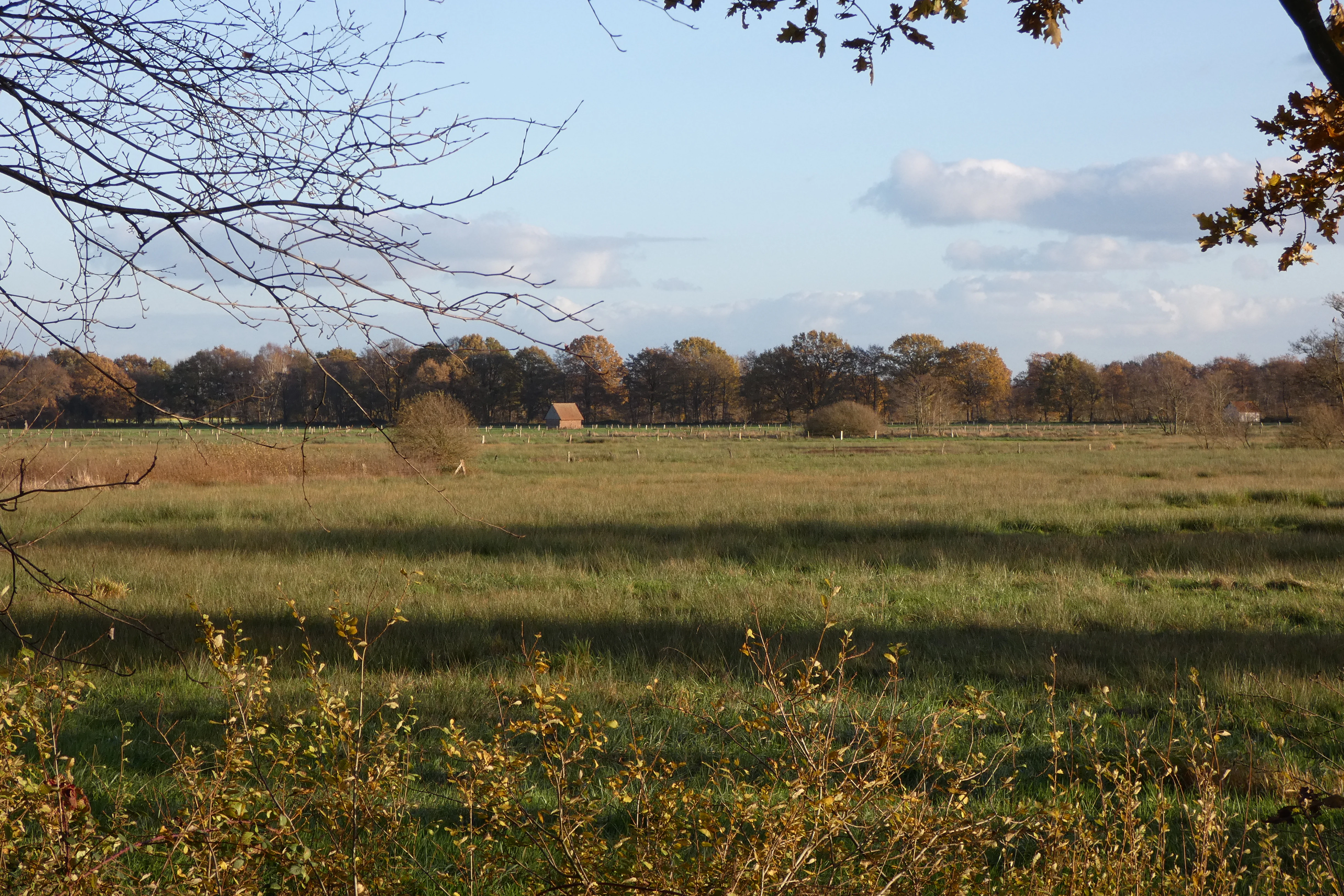
A wide landscape view of an open meadow in autumn, framed by tree branches in the foreground, with a treeline and a small structure visible in the distance.
A view across the open meadows of the Heubachwiesen nature reserve.

Heubachwiesen (BOR) history and protected-area timeline

Heubachwiesen was officially designated as a nature reserve (Naturschutzgebiet) in 1982, under the identification number BOR-032 used by the district of Borken. The protection aimed initially at preserving a coherent set of wet grassland habitats and the species associated with them in the Heubach floodplain near Reken.

Over time, the reserve has been integrated into larger protective frameworks, most notably the EU Birds Directive site "Heubachniederung, Lavesumer Bruch und Borkenberge." This integration reflects a shift from purely local conservation to a broader landscape-level approach, recognizing the importance of connected habitats for meadow birds, waders, and waterfowl across the wider Heubach lowlands.

Heubachwiesen (BOR) landscape and geographic character

The reserve occupies a section of the Heubach stream floodplain, a subdued lowland landscape typical of western Münsterland. The terrain is dominated by flat to gently undulating wet meadows, interspersed with open water features such as shallow ponds, ditches, and slow-moving stretches of the Heubach and related watercourses.

The four protected parcels are distributed around Reken, creating a fragmented mosaic of wet and damp habitats rather than a single contiguous block. Federal highway B67 and state road L608 cross the area, while the A31 autobahn runs along its western edge, marking the transition from open agricultural and natural land toward denser transport infrastructure.

The visual character of the landscape is quiet and open, defined by expanses of grassland, low wetland vegetation, and seasonal water surfaces, rather than by forest cover or dramatic relief.

Heubachwiesen (BOR) ecosystems, habitats, and plant life

Ecologically, Heubachwiesen belongs to the category of central European wet meadow and floodplain systems. Its habitat mosaic includes damp grassland, open water, and transitional wetland vegetation, with plant communities typical of nutrient-variable, seasonally flooded conditions.

The reserve is significant for maintaining communities of open water and wet grassland that have become increasingly scarce in the surrounding farmland-dominated region. These habitats support both specialized plant assemblages and the invertebrate populations on which many birds and amphibians depend.

The site's value is enhanced by its place within the larger Heubachniederung floodplain network, where similar habitats connect across municipal boundaries, allowing wildlife populations to function at a meaningful landscape scale rather than as isolated fragments.

Heubachwiesen (BOR) wildlife and species highlights

The reserve is explicitly managed for the benefit of meadow birds and waterbirds typical of lowland wet grasslands in northwestern Germany. Waders (Watvögel) and meadow-nesting bird species are among the named conservation targets, alongside geese that use the floodplain for grazing and resting.

Amphibians are another key focus of protection, reflecting the importance of the area's open water and wet meadow habitats for breeding and dispersal. Invertebrates (Wirbellose), particularly those tied to wet grassland and open water plant communities, are also highlighted as a conservation priority.

Together, these groups reflect a typical bird-and-amphibian-rich floodplain meadow fauna, with the reserve playing a meaningful role in sustaining populations that have declined across much of the wider agricultural landscape of western Münsterland.

Heubachwiesen (BOR) conservation status and protection priorities

Heubachwiesen is classified as an IUCN Category IV protected area, meaning it is managed primarily for the conservation of specific habitats and species rather than for broader ecosystem or landscape protection. Its targets focus on preserving, developing, and restoring habitats and communities of species that have become regionally rare or threatened.

The protection status emphasizes several priorities: rare and endangered plant communities of open water and wet grassland, breeding and resting populations of waders, meadow birds, and geese, and viable populations of amphibians and invertebrates tied to the wet meadow system.

The reserve's integration into the EU Birds Directive site "Heubachniederung, Lavesumer Bruch und Borkenberge" adds an international conservation layer, connecting the Heubachwiesen to a wider network of floodplain habitats that together support migratory and breeding bird populations across the Heubach lowlands.

Top sights and standout views in Heubachwiesen (BOR)

The Heubachwiesen stands out for its combination of wet meadow habitats and open water along the Heubach floodplain, an increasingly uncommon landscape feature in the intensively used western Münsterland. Its four-part configuration creates a network of habitats that supports both resident and migratory birdlife.

Recognition as part of the EU Birds Directive site "Heubachniederung, Lavesumer Bruch und Borkenberge" highlights the reserve's importance beyond purely local nature protection. Its focus on threatened meadow birds, waders, geese, amphibians, and rare wetland plant communities gives it a clearly defined conservation identity.

Best time to visit Heubachwiesen (BOR)

Heubachwiesen is a lowland wet meadow reserve shaped by seasonal water levels, so the character of a visit varies through the year. Wet conditions and high water tables are most typical in winter and early spring, while late spring and early summer bring the most active bird breeding period across the meadows.

Autumn and winter months often bring geese and other waterfowl to the floodplain, while spring and early summer are typically the most rewarding periods for observing meadow-nesting bird species and amphibians around the reserve's open water features.

Monthly climate preview

Long-term representative point measurements tracking monthly temperature and precipitation cycles

Heubachwiesen (BOR) Climate Normals, Annual Temperature and Precipitation Rhythm

Historical normals for Heubachwiesen (BOR) outline a measured annual progression of average temperatures from winter lows to summer highs alongside steady monthly precipitation rates. Analyzing the complete twelve-month record clarifies multi-year climate patterns across the representative coordinate.
Annual mean10 °C
2 °C18 °C
Jan
Feb
Mar
Apr
May13°
Jun16°
Jul18°
Aug18°
Sep15°
Oct10°
Nov
Dec
Warmest month
July

18.4 °C

Coolest month
January

1.6 °C

Wettest month
December

2.5 mm/day

Driest month
April

1.5 mm/day

Park location guide

Geography guide, regional context, and park location map for Heubachwiesen (BOR)

Heubachwiesen (BOR) park geography, regions, and map view in Germany

Understand where Heubachwiesen (BOR) sits in Germany through a broader geographic reading of the surrounding landscape, nearby location context, and its mapped position within the national park landscape.

How Heubachwiesen (BOR) fits into Germany

Germany is a federal republic in Western and Central Europe with a population of over 83 million across sixteen constituent states. It is Europe's largest economy by nominal GDP and a major global exporter and importer. The capital is Berlin, and the country borders Denmark, Poland, Czech Republic, Austria, Switzerland, France, Luxembourg, Belgium, and the Netherlands.

Wider geography shaping Heubachwiesen (BOR) in Germany

Germany is located in Western and Central Europe, spanning 357,022 km². It borders Denmark to the north, Poland and the Czech Republic to the east, Austria and Switzerland to the south, and France, Luxembourg, Belgium, and the Netherlands to the west. The country has coastlines on the Baltic Sea and North Sea to the north, with the Alps located in the southern region.

Map view of Heubachwiesen (BOR)

Use this park location map to pinpoint Heubachwiesen (BOR) in Germany, understand its exact geographic position, and read its mapped placement within the surrounding landscape more clearly.

Pigeon | © OpenStreetMap contributors

Location context for Heubachwiesen (BOR)

Nordrhein-Westfalen

Visual exploration of wet meadows, stream floodplains, and lowland protected habitats.

Heubachwiesen (BOR) Photos and Landscape Scenery

Visual records capture the flat grassland terrain, seasonal water bodies, and wetland vegetation that define the Heubachwiesen (BOR) landscape. Examining these field photographs reveals the protected habitat character and open floodplain environment across the reserve parcels.

A wide landscape view of an open meadow in autumn, framed by tree branches in the foreground, with a treeline and a small structure visible in the distance.

Park atlas

Discover related lowland reserves and connected wetland habitats across western Munsterland.

Explore Other Parks Near Heubachwiesen (BOR) and Surrounding Protected Landscapes

Browse nearby protected areas sharing similar floodplain terrain, wet meadows, and regional bird conservation networks. Comparing these adjacent nature reserves provides deeper geographic context for the western Münsterland landscape.
Nature reserveNordrhein-Westfalen
About 1.1 km away#1 closest

East

Wildpferdebahn Nature Reserve: Geography and Protected Habitat of the Merfelder Bruch

Explore the historic horse range in Nordrhein-Westfalen

Located in the Merfelder Bruch, the Wildpferdebahn protects 500 hectares of diverse terrain ranging from dry grasslands to damp alder woodlands. This nature reserve supports a self-sustaining herd of semi-feral horses, maintaining a landscape character that has persisted for generations. Learn about the reserve's role in conserving Westphalian wilderness traditions alongside sensitive moor and heath habitats.

Area
3.6 km²
Established
1847
Relief
Lowland
Access
Easy access
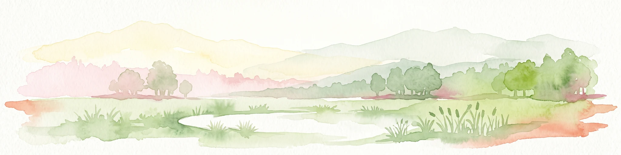
A watercolor painting showing a soft, pastoral landscape with green rolling hills, distant pinkish-hued mountains, and small clusters of trees.
Nature reserveNordrhein-Westfalen
About 9.2 km away#2 closest

North

Kuhlenvenn Nature Reserve: Geographic Insights and Wetland Protection in Germany

A vital bird refuge within the Münsterland landscape

Kuhlenvenn is a 67 hectare nature reserve situated in the western Münsterland. Originally formed through industrial sand extraction, this area now features a rich habitat mosaic of meadows, wet grasslands, and shallow pools. It serves as a key regional center for migratory and breeding bird species, demonstrating how restored landscapes provide essential refuge in the broader North Rhine-Westphalia geography.

Area
0.67 km²
Established
1988
IUCN
IV
Relief
Lowland
Watercolor illustration of a pond in a moorland landscape with soft green hills and trees in the background.
Nature reserveNorth Rhine-Westphalia
About 9.3 km away#3 closest

North

Heidesee Nature Reserve: A Protected Heathland and Bog Mosaic in North Rhine-Westphalia

Geographic landscape mapping of the Coesfelder Heide

Heidesee preserves a compact, high-value ecosystem featuring acidic water, sphagnum moss cushions, and rare carnivorous plants. Located within the glacial-sandy terrain of the Coesfelder Heide, this nature reserve offers a look at preserved wetland habitats and regional biodiversity management in western Germany.

Area
0.052 km²
Established
1985
IUCN
IV
Access
Moderate access
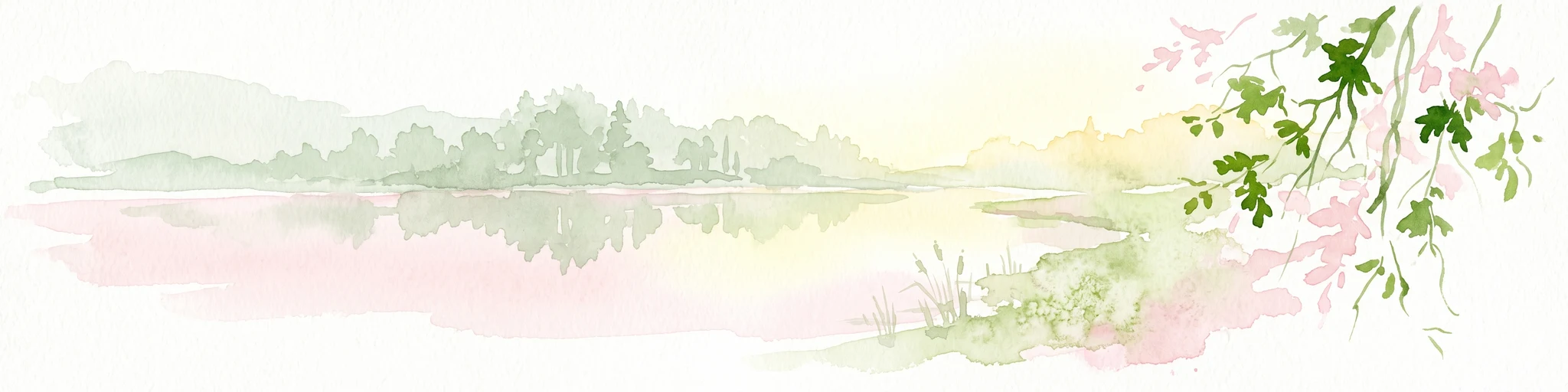
Watercolor painting of a tranquil pond at Kranenmeer, showing reflective water, distant tree lines, and foreground foliage hanging from the upper right corner.
Nature reserveNordrhein-Westfalen
About 13 km away#4 closest

Southwest

Kranenmeer Nature Reserve: Mapped Geography and Protected Wetland Boundaries

A preserved moorland enclave in the Westmünsterland region.

Kranenmeer preserves a fragile mosaic of open water, bog vegetation, and alder carr woodland in a compact site within Nordrhein-Westfalen. Study the mapped protected boundaries and subtle terrain transitions of this significant nature reserve that serves as a vital habitat for rare amphibians and specialized wetland species in the lowland northwest of Germany.

Area
1.4 km²
Established
1950
Relief
Lowland
Climate
Temperate
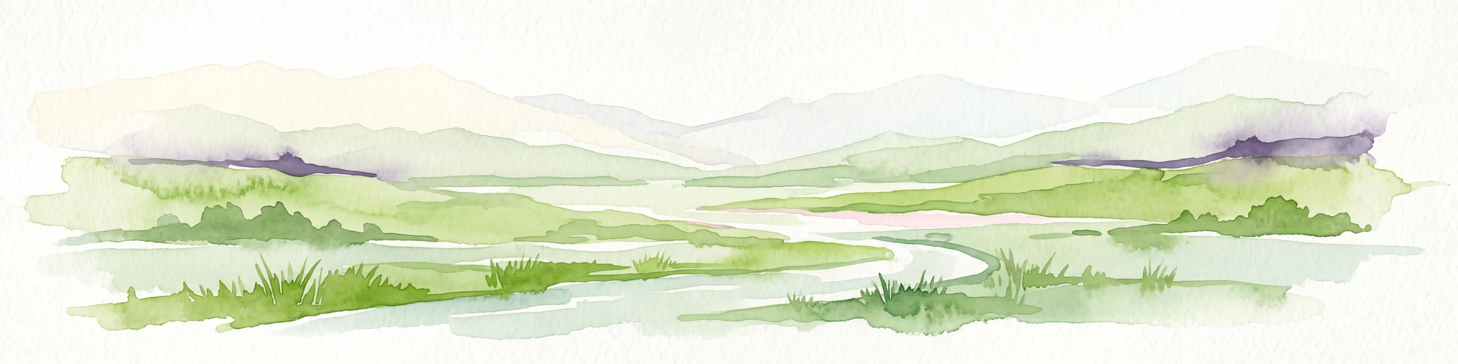
A watercolor painting showing a soft green rolling landscape, a winding stream in the foreground, and distant hills under a white background.
Protected landscapeGermany
About 18 km away#5 closest

Southwest

Naturpark Hohe Mark: Protected Landscape and Regional Geography Overview

Mapped terrain in North Rhine-Westphalia, Germany.

Gain insight into the complex topography of Naturpark Hohe Mark, an expansive protected area characterized by its transition from sandy upland forests to wetland-rich river valleys. This detailed overview covers the essential landscape features, regional boundaries, and ecological diversity that distinguish the park as a key geographical entity in Germany.

Area
1,978 km²
Established
1963
Relief
Mixed relief
Climate
Temperate
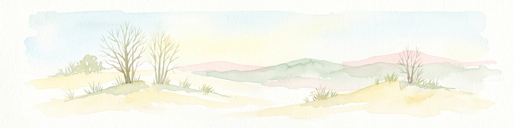
A pale, soft watercolor illustration showing rolling hills, sparse trees, and gentle inland dune slopes under a light sky.
Protected landscapeBerlin
About 22 km away#6 closest

East

Baumberge Protected Landscape: Mapping Berlin's Glacial Sand Dunes and Rare Grassland Habitats

A vital protected ecosystem within the Tegeler Forst region

The Baumberge stand as one of the last remaining open inland dune sites in Berlin, encompassing a fragile 47 hectare mosaic of sand heath and dry grassland. These parabolic dunes provide a critical refuge for warmth-loving invertebrate species and rare flora, anchored by glacial sand deposits dating back to the last ice age. The area offers a significant window into the historical landscape evolution of the northern Berlin glacial valley.

Area
0.47 km²
Relief
Lowland
Climate
Temperate
Access
Easy access
Nature reserveNorth Rhine-Westphalia
About 23 km away#7 closest

Southwest

Lichtenhagen Nature Reserve: Protected Lowland Landscapes and Habitat Geography in Wesel

A critical habitat mosaic for regional reptile and amphibian populations.

Lichtenhagen constitutes a distinct protected site within the Lower Rhine region, showcasing a unique ecological transition between heathland, still-water basins, and oak-dominated woodland. This former industrial site provides a protected refuge for the common European adder, smooth snake, and grass snake, representing a crucial case study in landscape restoration and regional conservation within North Rhine-Westphalia.

Area
1.1 km²
Established
1981
IUCN
IV
Nature reserveNetherlands
About 26 km away#8 closest

West

Wooldse Veen Nature Reserve: Mapped Geography and Protected Bog Landscapes in the Netherlands

A transboundary peatland system in Gelderland.

Wooldse Veen preserves a rare fragment of raised bog and peatland habitat in the Dutch-German borderlands. The reserve features restored bog pools, historic smugglers paths, and a mosaic of heathland and birch woodland that reflects the regional geography of the Winterswijk National Landscape.

Area
1.5 km²
Established
1949
Relief
Lowland
Climate
Temperate

Common questions about visiting, size, designation, and location context for Heubachwiesen (BOR)

Heubachwiesen (BOR) FAQs for park facts, access, geography, and protected area context

Find quick answers about Heubachwiesen (BOR), including protected-area facts, park geography, trail and visitor context, and how the park fits into its surrounding country and regional landscape.
MoriAtlas Explorer

Continue Your Protected Areas Search Across the Global Atlas

Deepen your exploration by continuing the structured search for national parks and protected areas worldwide. Utilize the comprehensive filtering capabilities to compare different conservation landscapes and refine your understanding of global park geography. Discover more about the distribution and characteristics of protected natural areas.

Global natural geography