Reservoirs
Sylvester Impoundment
216 m

A structured analysis of regional topography, aquatic networks, and forest landscapes.
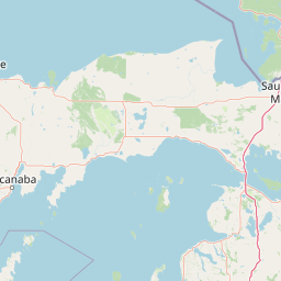
Discover the physical composition of Hiawatha National Forest within the Upper Peninsula of Michigan. This profile details the 3621.27 square kilometer boundary, illustrating the complex intersection of temperate forest, coastal ecosystems, island environments, and inland freshwater networks.
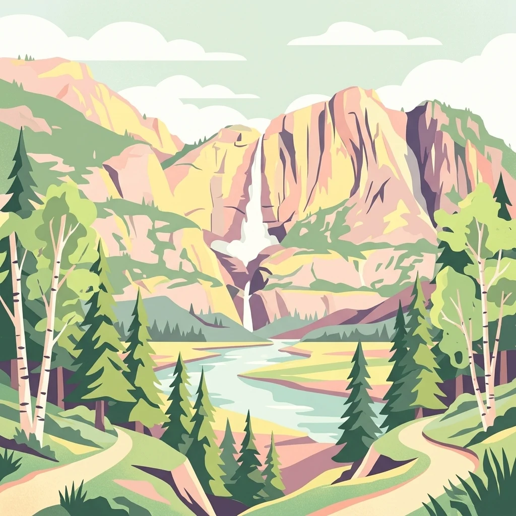
A vast Great Lakes forest spanning Michigan's Upper Peninsula, with over 100 miles of shoreline across three Great Lakes.
Hiawatha National Forest is a large federally protected forest in the Upper Peninsula of Michigan, administered by the U.S. Forest Service as part of the National Forest System. Stretching across roughly 894,836 acres, it is one of the most ecologically significant federal forest holdings in the Great Lakes region, organized into two geographic subunits commonly known as the East Unit and the West Unit. The forest is defined by its proximity to three Great Lakes. Lake Superior and Lake Michigan border both units, while Lake Huron additionally bounds the East Unit. Together, the forest contains more than 100 miles of shoreline, intermixed sandy plains, river valleys, hardwood ridges, and islands that together create a transition between northern hardwood forests and the boreal-influenced landscapes of the far north. Hiawatha is notable for the depth of its protected landscape, which includes six designated wilderness areas and five National Wild and Scenic Rivers. It shares a border with Pictured Rocks National Lakeshore, hosts a long segment of the North Country National Scenic Trail, and supports a wide range of wildlife, from resident moose and black bears to migratory raptors and songbirds. Its combination of inland forest and freshwater coastline gives Hiawatha a distinctive identity within the U.S. National Forest System.
Upper Peninsula of Michigan regional membership and geographic status
Interactive protected boundary geometry and derived area measurements
Lowland landscape classification and recorded water bodies
Reservoirs
216 m
Lakes
Streams
Lakes
Streams
Lakes
Temperate lowland forests, coastal waters, and island wetland habitats
Forest · Coast · Beach · Islands · Lakes · Rivers · Wetland
Temperate coniferous forest · Temperate broadleaf forest · Wetland · Riverine habitat · Coastal habitat
Compare connected protected landscapes and surrounding Great Lakes geography.
East

Protected wetland habitat and Lake Huron coastal geography
Horseshoe Bay Wilderness represents a pristine 3,787-acre protected area located along the northwestern corner of Lake Huron in Michigan. Administered as part of the Hiawatha National Forest, this wilderness features an intricate post-glacial landscape of riparian wetlands, dense northern whitecedar stands, and quiet shallow waters that serve as vital spawning ground for local aquatic life.
East
A roadless wilderness reserve within Hiawatha National Forest
Uncover the geographic significance of Mackinac Wilderness, an IUCN Category Ib protected area in Michigan. The unit provides a distinct look at northern forest recovery through a terrain of sandy ridges, aspen and birch cover, and aquatic corridors. This study examines the interplay between postglacial landforms and the ongoing natural succession occurring along the Carp River drainage basin.
Northwest
Sandstone canyons and unmanaged forest terrain in Alger County
Covering 4,640 acres of the Upper Peninsula, Rock River Canyon Wilderness offers a rare look at natural forest processes. This protected area is defined by two 150-foot deep sandstone canyons, the flow of the Rock River, and the scenic Rock River Falls, serving as an ecological buffer within the broader Hiawatha National Forest landscape.

East
Coastal marsh, conifer forest, and hardwood interior terrain
Round Island Wilderness encompasses nearly all of a 378-acre island sanctuary, distinguished by its mature beech-maple hardwood interior and boreal-leaning conifer forests. This protected land remains an essential study of Great Lakes island ecology, standing as a quiet, undisturbed wilderness edge along the transit routes of the Michigan straits.
Southeast
Mapping underwater heritage in the Michigan Great Lakes region
Spanning 4,300 square miles of Lake Huron, Thunder Bay National Marine Sanctuary preserves a significant collection of shipwrecks within a glacially shaped freshwater terrain. This marine protected area offers a look at submerged geography ranging from shallow coastal bays to deep lake basins. It serves as a vital anchor for understanding maritime history and freshwater ecosystem stability across the Michigan shoreline.
Northeast
Protected landscape geography in Alger County, Michigan
Pictured Rocks National Lakeshore offers a deep look into the Great Lakes coastal geography. Explore the intersection of Cambrian-era sandstone cliffs, perched dune systems, and inland forested wilderness. This area provides a clear record of glacial and lake-driven erosion, featuring unique formations like Miners Castle and Chapel Rock across its extensive Lake Superior boundary.
Northwest
A federally protected wildlife reserve and river headwaters landscape
Centrally located within the western Upper Peninsula of Michigan, McCormick Wilderness preserves 17,000 acres of dense, regrown northern forest. The area is defined by its unusual density of river headwaters, providing significant ecological value as a quiet, roadless tract within the Ottawa National Forest network.

South
Great Lakes freshwater coast and glacial dune systems
Sleeping Bear Dunes National Lakeshore showcases the unique intersection of glacial geology and freshwater ecology. This protected area features massive dunes resting on ancient glacial deposits, backed by beech and maple forests. The geographic scope includes the vast shoreline of Lake Michigan, inland waters such as Glen Lake, and the distinct maritime history found across the remote North and South Manitou Islands.
Examine the detailed terrain and protected landscape of Hiawatha National Forest within the MoriAtlas database. Discover how the forest units integrate with Great Lakes shorelines, river networks, and designated wilderness areas across the Upper Peninsula of Michigan.