Mori Atlas logo
Park earthquake history

A structured catalogue of registered epicentres and seismic events occurring in the vicinity of protected mountain landscapes.

Historical Earthquake Records and Seismic Data for Jasper National Park in the Canadian Rockies

Review documented seismic events associated with Jasper National Park through a curated, location-based catalogue. This collection provides transparent access to historical earthquake data, including event timing, recorded magnitude, and calculated distance from park boundaries, offering researchers and visitors clear insight into regional seismic history within Alberta.

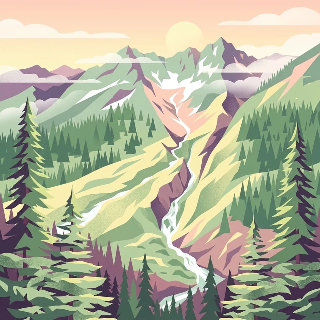
An artistic flat-design illustration of a mountain valley with a river, coniferous trees in the foreground, and soft pink and pastel tones in the sky and clouds.

Canada's largest Rocky Mountain park with glaciers, lakes, and dark-sky preserve status

Jasper National Park

Jasper National Park is the largest national park within Alberta's Rocky Mountains, spanning approximately 10,878 square kilometers of pristine wilderness in western Canada. Established as Jasper Forest Park in 1907 and redesignated as a national park in 1930, this vast protected area encompasses dramatic mountain landscapes, extensive glacial systems, deep river valleys, and diverse ecosystems that support abundant wildlife. The park forms part of the UNESCO World Heritage Site known as the Canadian Rocky Mountain Parks, recognized in 1984 for their outstanding universal value including rugged mountain peaks, ice fields, glaciers, alpine meadows, waterfalls, and karst cave systems. Jasper serves as the headwaters for major river systems including the Athabasca River, which flows into the Mackenzie River basin, and features the Columbia Icefield, one of the most accessible glacial systems in North America.

Location
Canada
Park type
National park
Established
1907
Area
10,878 km²
Jasper National Park Protected Area Map

Locate and compare seismic events near the Canadian Rockies by magnitude and epicentre distance.

Searchable Historical Earthquake Records Associated with Jasper National Park

Geologists and researchers can browse a comprehensive index of historical seismic events mapped by their spatial proximity to the boundaries of Jasper National Park. Individual earthquake records provide documented details including occurrence dates, magnitude scales, focal depths, regional epicentres, calculated park distances, and primary monitoring sources.

Sort by
Magnitude
Location

This page describes catalogued earthquakes associated with the park by epicentre location and distance. It does not establish causation, assess current danger, or predict future earthquakes.

No earthquake records match the current filters

Park atlas

Expand your geographic journey through notable conservation reserves and parks

Explore Other National Parks and Protected Landscapes Beyond Jasper

After researching the environmental history of Jasper National Park, visitors can broaden their geographic understanding by examining other major protected areas. Structured maps and conservation profiles help navigate additional wilderness reserves, national parks, and ecological sanctuaries across the region.
A digital illustration showing a calm, winding lake in the foreground, framed by tall evergreen trees on both sides, with a dramatic, jagged, snow-capped mountain range in the background under a soft sunrise sky.
National parkCanada
Park boundaries overlap#1 closest

Southeast

Banff National Park

Mapped park boundaries and regional geographic context for Banff National Park.

Lake Louise, Moraine Lake, and the Bow Valley lie among the peaks and glaciers of Canada's Rocky Mountains.

Area
6,641 km²
Established
1885
IUCN
II
Visitors
4.1M annual
A stylized digital illustration of a multi-tiered waterfall flowing over rocky terrain through a lush evergreen forest.
State or regional parkBritish Columbia
About 62 km away#2 closest

Southwest

Pyramid Creek Falls Provincial Park: Mapped Geography and Protected Natural Landscape

Glacial cascades and North Thompson River valley terrain

This protected area centers on a vertical, two-stage waterfall spilling from a hanging valley high above the North Thompson River. Characterized by its glacier-fed creek and steep forested slopes, the park functions as a key geological landmark within the rugged, mountainous interior of British Columbia.

A stylized flat-design illustration of a mountainous landscape featuring a waterfall cascading from a cliff into a rocky stream, framed by evergreen trees.
National parkBritish Columbia
70 km away#3 closest

Southeast

Yoho National Park: Mapped Protected Area in British Columbia's Geography

Exploring the park's protected boundaries and terrain.

Yoho National Park is presented here as a distinct national park within British Columbia's vast geographic framework. This page provides a structured view of its protected land status, allowing for detailed exploration of its mapped boundaries and surrounding natural landscapes. Understand Yoho National Park's place in the Canadian atlas through its specific geographic features and protected area context.

Area
1,313 km²
Established
1886
IUCN
II
Visitors
663.9K annual
An artistic, flat-design illustration of a mountainous valley featuring green slopes, a central stream, coniferous trees in the foreground, and snow-capped mountain peaks in the background under a pale sky.
National parkColumbia-Shuswap Regional District
74 km away#4 closest

South

Glacier National Park: A National Park within Canada's Protected Landscape Atlas

Explore its mapped boundaries and regional geography.

Glacier National Park represents a significant protected area entity within the broader Canadian geography. This page offers an atlas-oriented perspective on its identity as a national park, focusing on its mapped geographic spread and role as a conservation landscape. Users can explore the park's place within the Columbia-Shuswap Regional District and understand its distinct contribution to the national protected area framework.

Area
1,349 km²
Established
1886
IUCN
II
Visitors
4M annual
A stylized digital illustration of a mountainous landscape with a river winding through a valley, framed by evergreen trees in the foreground under a cloudy sky.
National parkBritish Columbia
108 km away#5 closest

South

Mount Revelstoke National Park

British Columbia's National Park Atlas Entry

Mount Revelstoke National Park, in British Columbia, Canada. Landscapes: mountains and forests.

Area
260 km²
Established
1914
IUCN
II
Visitors
775.2K annual
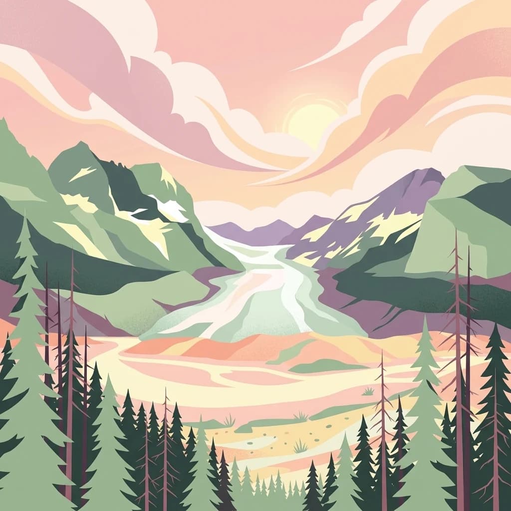
A stylized illustration of a mountain valley with steep cliffs on the left, a pine forest, and a river flowing toward the viewer under a soft sunrise sky.
National parkBritish Columbia
113 km away#6 closest

Southeast

Kootenay National Park

Explore Kootenay National Park's mapped terrain and regional geography.

Kootenay National Park, in British Columbia, Canada. Landscapes: mountains, valleys, and cliffs.

Area
1,406 km²
Established
1920
IUCN
II
Visitors
574.1K annual
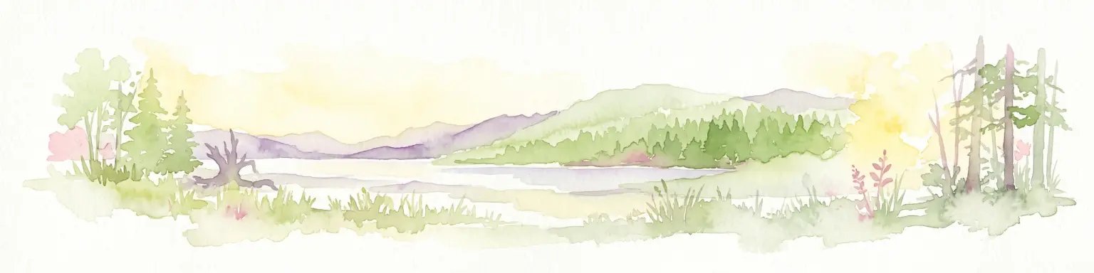
A watercolor painting showing a serene lake view with forested shoreline, grassy foreground, and rolling mountains in the distance, set against a soft, light background.
State or regional parkBritish Columbia
About 186 km away#7 closest

South

Mara Provincial Park: Protected Shoreline and Geographic Features in British Columbia

Mapping the Shuswap region's essential day-use lakeshore environment

Situated on the southern edge of Mara Lake, Mara Provincial Park functions as a key protected site in the Shuswap region of British Columbia. This area provides public access to sandy beaches and serves as the primary boat launch for the surrounding interior lake system, preserving natural terrain against private lakeshore development.

Area
0.05 km²
Established
1958
IUCN
II
Relief
Lowland
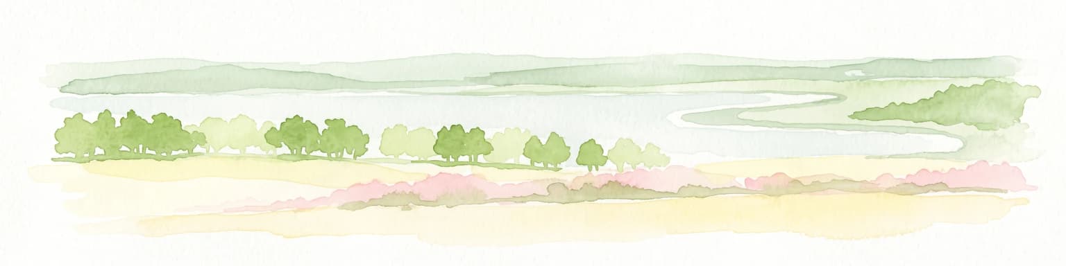
A minimalist watercolor illustration showing a light blue lake, green trees, and soft yellow ground.
Wildlife reserveAlberta
191 km away#8 closest

North

Saskatoon Lake Migratory Bird Sanctuary: Protected Wetland Landscape in Alberta

Geographic overview of sanctuary boundaries and habitat zones

Examine the territorial footprint and environmental setting of Saskatoon Lake Migratory Bird Sanctuary. This site highlights the intersection of shallow aquatic basins and boreal parkland vegetation, providing a deep look into protected areas within the Grande Prairie region of Alberta.

Area
11.5 km²
Established
1948
IUCN
III
MoriAtlas Explorer

Jasper National Park

Explore the map, landscapes, and protection details for Jasper National Park.