Mori Atlas logo
Park earthquake history

Review documented seismic events by date, magnitude, depth, and distance from park boundaries.

Historical Catalogue of Recorded Earthquakes Near Jedediah Island Marine Provincial Park

This repository provides a detailed record of seismic events identified within the vicinity of Jedediah Island Marine Provincial Park. Users can browse historical data including precise event dates, magnitudes, and epicentre locations that correlate with this protected coastal landscape in the Gulf Islands. All data is sourced from established geological archives to provide a clear, factual, and transparent view of recorded seismic occurrences near this specific British Columbia park.

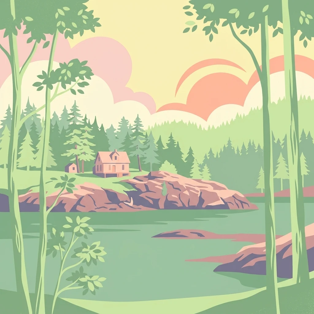
A stylized digital illustration showing a small cabin on a rocky, forested shoreline overlooking a tranquil body of water.

An accessible-by-boat Gulf Islands park shaped by decades of island family stewardship.

Jedediah Island Marine Provincial Park

Jedediah Island Marine Provincial Park is a small but distinctive provincial park in British Columbia, Canada, located in the Gulf Islands near the Sunshine Coast. Covering roughly 240 hectares of terrestrial land together with surrounding marine waters, it ranks among the larger island parks in the province despite its modest overall footprint. The park is situated in the Strait of Georgia between Vancouver Island and the BC mainland, with the nearest access point at Lasqueti Island and the closest mainland community at Sechelt. Because there is no road or ferry connection to the mainland, the park is reached only by boat, which helps preserve the quiet, low-impact character that defines the visitor experience. Jedediah Island is recognized for its sheltered bays, forested shorelines, and marine environment typical of the southern Gulf Islands. Long-standing family stewardship, followed by a 1990s community-driven purchase and provincial protection, gave the island its present protected character, blending natural Gulf Islands ecosystems with a layered story of private homesteading and eventual conservation.

Location
Canada
Park type
State or regional park
Established
1995
Area
6 km²
Jedediah Island Marine Provincial Park Atlas

Inspect Jedediah Island Marine Provincial Park event evidence

Earthquakes near Jedediah Island Marine Provincial Park

Earthquakes for Jedediah Island Marine Provincial Park are grouped by epicentres and park distance, not presumed boundary occurrence. Dates, magnitudes, depths, places, distance measures, and sources enable historical analysis without attributing island, marine, or park effects, declaring geological cause, characterizing present threat, or anticipating events.

Sort by
Magnitude
Location

This page describes catalogued earthquakes associated with the park by epicentre location and distance. It does not establish causation, assess current danger, or predict future earthquakes.

No earthquake records match the current filters

Park atlas

Beyond Jedediah Island Marine Provincial Park earthquake records

More parks after Jedediah Island Marine Provincial Park

These onward routes follow the Jedediah Island Marine Provincial Park earthquake records and broaden exploration beyond a boat-access Gulf Islands setting of beaches, coast, forest, and Salish Sea habitat. They do not identify equivalent island parks, provincial designations, nearby places, geological settings, earthquake catalogues, seismic conditions, source depth, hazards, or risk.
A pale, minimalist watercolor painting depicting a wide, sandy beach shoreline with a line of evergreen trees in the distance.
State or regional parkBritish Columbia
18 km away#1 closest

South

Rathtrevor Beach Provincial Park: Coastal Geography and Protected Land Overview

Vancouver Island coastal terrain and forested landscapes

Spanning over 300 hectares, Rathtrevor Beach Provincial Park protects a rare combination of fine sandy beaches and ancient Douglas fir groves along the Strait of Georgia. This coastal sanctuary on Vancouver Island serves as a critical habitat for migrating birds and represents a preserved segment of regional geography amidst the surrounding developed shoreline.

Area
3.47 km²
Established
1967
IUCN
II
Visitors
836.2K annual
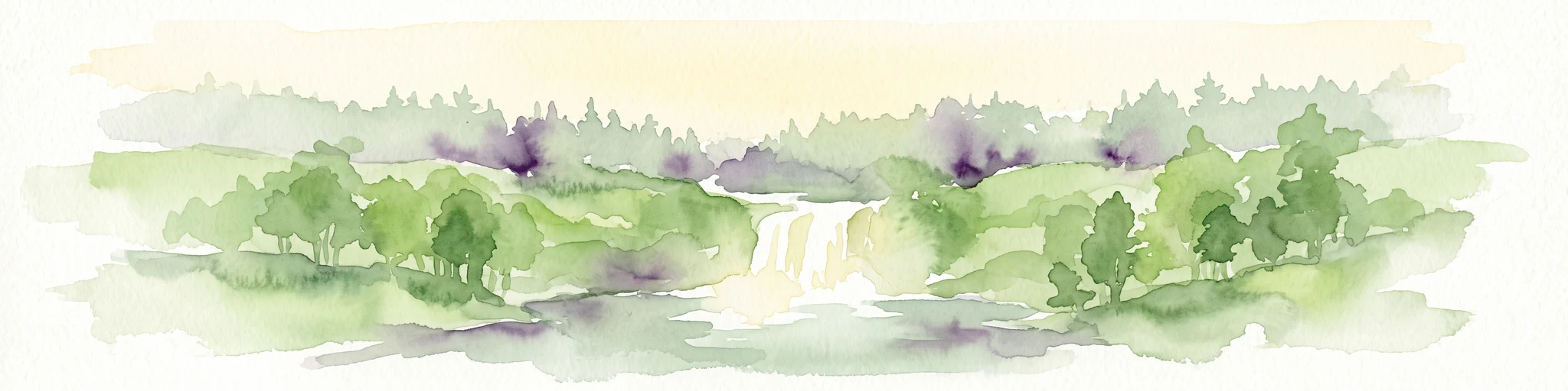
Watercolor painting of a waterfall surrounded by lush green trees and forest.
State or regional parkBritish Columbia
28 km away#2 closest

South

Englishman River Falls Provincial Park: Regional Geography and Protected Area Overview

Vancouver Island river canyon and coastal forest terrain

Englishman River Falls Provincial Park protects a concentrated area of canyon scenery and old-growth forest on the eastern side of Vancouver Island. The landscape is characterized by the dramatic steps of the Englishman River, deep plunge pools, and mature cedar and hemlock stands. This geography provides an essential look at the coastal rainforest ecosystems and river-fed topography that define the recreational corridors of British Columbia.

Area
0.97 km²
IUCN
II
Relief
Upland
Access
Easy access
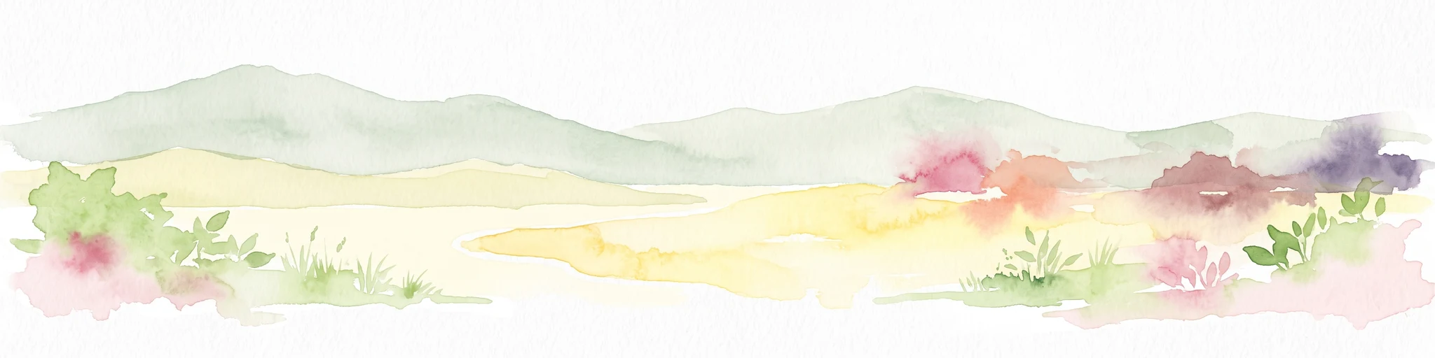
A soft watercolor illustration depicting a winding river flowing through a lush green valley with coniferous forests on the hillsides and mountains in the background.
State or regional parkBritish Columbia
31 km away#3 closest

Southwest

Little Qualicum Falls Provincial Park: Regional Protected Landscape and Atlas Geography

River canyon and mountain lake habitat in British Columbia

Explore the structured geography of Little Qualicum Falls Provincial Park, a protected area characterized by its sequence of dramatic river cascades and old-growth Douglas Fir stands. This entry maps the park's key natural features, including the Cameron Lake shoreline and the rugged canyon terrain of the Little Qualicum River.

Area
4.4 km²
Established
1940
IUCN
II
Relief
Mountain
A horizontal watercolor illustration featuring a wooden boardwalk winding through a calm, light-filled landscape with soft green trees, grassy foreground, and rolling hills in the distance.
State or regional parkBritish Columbia
About 40 km away#4 closest

Southwest

MacMillan Provincial Park: Mapped Geography and Protected Forest Landscapes

Vancouver Island, British Columbia

Examine the mapped footprint of MacMillan Provincial Park, home to iconic old-growth Douglas fir trees and the Cameron River delta. This protected area serves as a biogeoclimatic transition zone, showcasing the rich, moisture-retentive coastal forest environment that defines this specific section of Vancouver Island.

Area
3.01 km²
Established
1947
IUCN
III
Visitors
543.7K annual
State or regional parkBritish Columbia
About 42 km away#5 closest

Southwest

Horne Lake Caves Provincial Park: Mapped Protected Landscapes and Cave Networks

Vancouver Island protected area and karst geography

Horne Lake Caves Provincial Park protects a distinct array of limestone cave systems, including Main, Riverbend, and Euclataws caves. The area bridges underground geological formations with surface-level river recreation along the Qualicum River, providing a comprehensive look at the karst and forested terrain of central-eastern Vancouver Island.

Area
1.58 km²
Established
1971
IUCN
II
Relief
Upland
A minimalist watercolor illustration showing rolling hills in the background and soft foliage in the foreground on a white background.
State or regional parkBritish Columbia
About 42 km away#6 closest

Southeast

Petroglyph Provincial Park: Protected Indigenous Heritage and Coastal Geography

Cultural landscape and bedrock carvings in British Columbia

Petroglyph Provincial Park preserves a remarkable concentration of ancient carvings etched into the sandstone bedrock of the Nanaimo River estuary. This protected area on Vancouver Island provides a rare look at how Indigenous traditions integrated with powerful natural features, offering a unique geographic context for studying historical rock art in the Pacific Northwest.

Area
0.02 km²
Established
1948
IUCN
III
Relief
Lowland
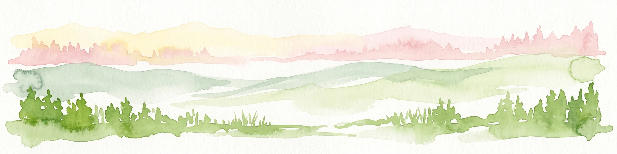
A watercolor painting showing a horizontal landscape with a green forest in the foreground and soft pink, layered rolling hills in the background.
State or regional parkBritish Columbia
48 km away#7 closest

Southeast

Morden Colliery Historic Provincial Park: Heritage Infrastructure and Regional Coal Mining History

Industrial landscape and historic rail corridor in British Columbia

Located near Nanaimo, this heritage site preserves the substantial concrete remains of the Morden Colliery. The park serves as a physical archive of southern Vancouver Island industrial life, contrasting engineering landmarks with local forest environments and interpretive trails along former coal railway alignments.

Area
0.04 km²
Established
1972
Relief
Lowland
Scope
Terrestrial
State or regional parkBritish Columbia
About 53 km away#8 closest

East

Plumper Cove Marine Provincial Park: Protected Marine Geography and Coastal Landscapes in Howe Sound

Exploring the forested trails and sheltered marine anchorages of Keats Island.

Plumper Cove Marine Provincial Park represents a vital protected landscape on the coast of British Columbia, defined by its blend of upland coastal forest and intimate, boat-accessed marine anchorages. This geography-focused profile traces the park's terrain, including its rocky shorelines, forest-covered bluffs, and the trail networks that connect visitors to the broader Howe Sound maritime environment.

Area
0.66 km²
Established
1960
IUCN
II
Relief
Upland
MoriAtlas Explorer

Continue Exploring Jedediah Island Marine Provincial Park Geography and Boundaries

Deepen your knowledge of British Columbia protected areas by examining the specific terrain and marine environment of this island park. Through the MoriAtlas, gain insight into the mapped boundaries and regional context that shape this coastal, forest-rich landscape.