Mori Atlas logo
Park earthquake history

Review historical epicentre data, event magnitudes, and depths for regional seismic occurrences.

Recorded Earthquake History and Seismic Activity Near Joshua Tree National Park

This historical catalogue provides a structured overview of seismic activity associated by location with Joshua Tree National Park. Users can browse recorded earthquake events including their respective dates, magnitudes, and epicentre distances from the park boundaries. The data utilizes USGS records to map the surrounding seismic environment, offering an archival perspective on regional activity over time.

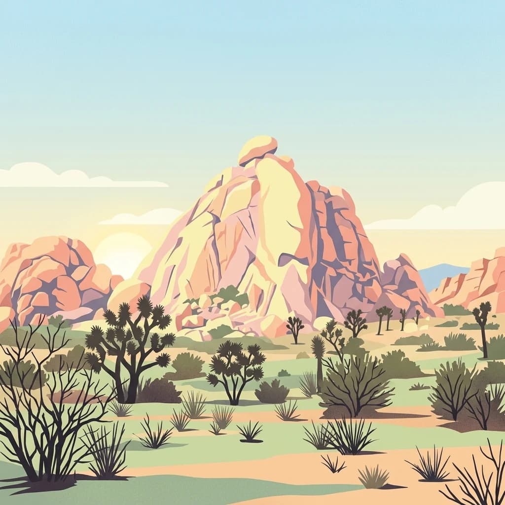
A digital illustration of a desert landscape featuring prominent large tan rock formations and several Joshua trees against a soft morning or sunset sky.

Desert wilderness of Joshua trees, granite formations, and dark night skies in Southern California

Joshua Tree National Park

Joshua Tree National Park is a vast protected area in southeastern California spanning portions of Riverside County and San Bernardino County. The park derives its name from the Joshua tree (Yucca brevifolia), an endemic species found throughout the Mojave Desert and the park's most recognizable botanical icon. Covering approximately 795,000 acres, the park encompasses portions of two distinct desert ecosystems: the higher-elevation Mojave Desert in the west and the lower-lying Colorado Desert in the east. This elevation gradient creates remarkable ecological diversity within a single protected area, from Joshua tree forests and granite boulder formations to creosote bush scrub and palm oases. The park was originally established as a national monument in 1936 through the advocacy of Minerva Hoyt and others, and was redesignated as a national park in 1994 under the California Desert Protection Act.

Location
United States of America
Park type
National park
Established
1994
Area
3,217.9 km²
Joshua Tree National Park Protected Area

Explore historical seismic events indexed by epicenter proximity, magnitude, and depth

Searchable Earthquake Records Associated with Joshua Tree National Park

The recorded seismic activity associated with Joshua Tree National Park includes historical events identified by calculated distance from each epicenter to the park boundaries. Individual dataset entries provide verified details for comparison including chronological dates, recorded magnitudes, focal depths, geographic coordinates, and links to official seismic sources.

Sort by
Magnitude
Location

This page describes catalogued earthquakes associated with the park by epicentre location and distance. It does not establish causation, assess current danger, or predict future earthquakes.

No earthquake records match the current filters

Park atlas

Navigate regional park systems and diverse natural reserves across the continent

Explore Other National Parks and Protected Landscapes Beyond Joshua Tree

Continuing past the boundary of Joshua Tree National Park opens up a vast network of protected areas and diverse ecological preserves. Detailed maps and geographic profiles allow travelers to compare distinct habitats, regional terrains, and conservation status across different territories.
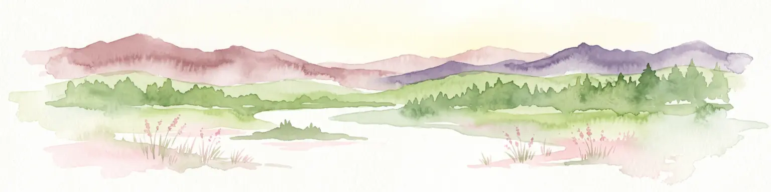
Watercolor painting of a mountain landscape with rolling green hills and small evergreen trees, with soft purple mountain silhouettes in the distance.
Protected landscapeCalifornia
19 km away#1 closest

West

San Bernardino National Forest: Geography and Protected Landscape Atlas

Transverse and Peninsular mountain ranges in California

Spanning over 820,000 acres, San Bernardino National Forest offers a look at one of Southern California's most significant protected landscapes. The forest features seven wilderness areas and a dramatic range of elevation, moving from arid chaparral to old-growth mixed conifer forests. Our geographic mapping traces the unique structure of four intersecting mountain ranges, detailing the terrain from deep canyons to high alpine peaks.

Area
3,333.87 km²
Established
1907
Relief
Mountain
Climate
Mediterranean
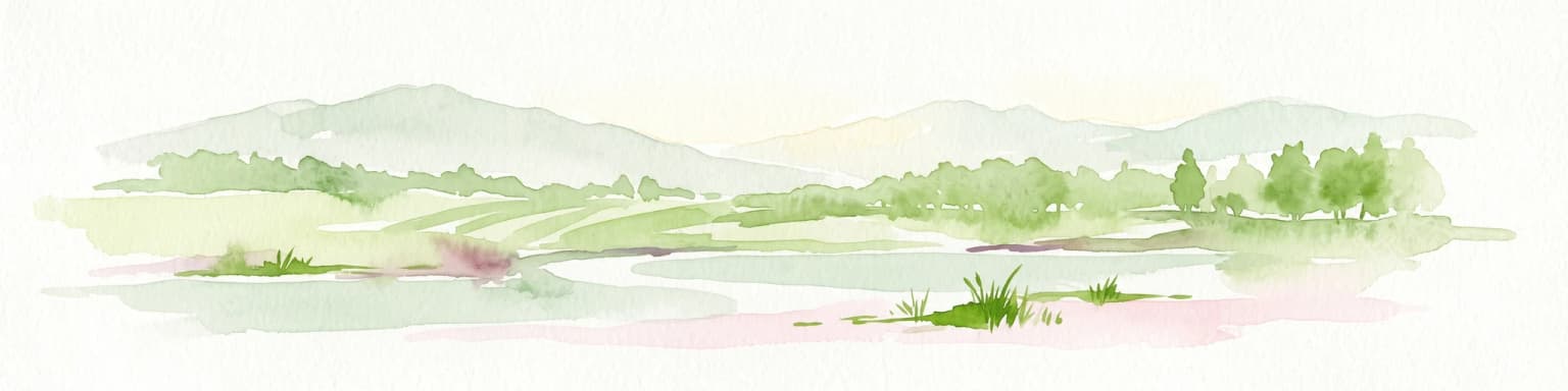
Watercolor painting showing a soft landscape with rolling hills in the background and a grassy plain with sparse trees and water in the foreground.
Wildlife reserveUnited States of America
About 67 km away#2 closest

East

Riverside Mountains Wilderness: Mapping the Desert Peaks and Protected Landscapes of California

A rugged desert wildlife reserve within the Lower Colorado River Valley

Riverside Mountains Wilderness features a tightly woven mosaic of dry drainages, rocky slopes, and sheltered canyon pockets. Situated in Riverside County, California, this protected area showcases a striking transition between steep mountain crags and open desert flats, providing a meaningful look at the Sonoran and Colorado Desert ecosystems along the Colorado River corridor.

Area
97.14 km²
Established
1994
Relief
Mountain
Climate
Arid
A flat, stylized illustration showing a desert landscape with colorful bushes and wildflowers in the foreground, and layers of jagged mountain peaks under a soft, sunset-colored sky in the background.
Wildlife reserveCalifornia
73 km away#3 closest

South

Fish Creek Mountains Wilderness: Mapping the Rugged Colorado Desert Plateau in California

Exploring desert ridges and ancient shoreline remnants

Fish Creek Mountains Wilderness offers a study in desert geomorphology, rising as an abrupt plateau above the surrounding basin. This Bureau of Land Management protected area contains intricate erosional landforms, including twisting canyons and natural rock tanks sustained by limestone outcrops. These features create a critical desert wildlife habitat that maintains moisture long after seasonal storms, offering a quiet, undisturbed perspective on the broader Imperial County landscape.

Area
86.7 km²
Established
1994
IUCN
Ib
Relief
Mountain
A stylized digital illustration of a desert landscape showing ocotillo plants in the foreground and rugged mountain ranges in the background under a pale sun.
Wildlife reserveCalifornia
About 93 km away#4 closest

Southeast

Indian Pass Wilderness: Protected Sonoran Desert Geography and Terrain Mapping

Analyzing desert mountain slopes and riparian corridors in California

Indian Pass Wilderness represents a key protected-area unit where the arid Chocolate Mountains descend into the Lower Colorado River Valley. The area is defined by its dramatic drainage patterns, including Julian Wash, and its role as a transition zone between desert upland and riparian edge, serving as a critical study for understanding southwestern desert geography and protected landscape boundaries.

Area
131.19 km²
Established
1994
IUCN
Ib
Relief
Mountain
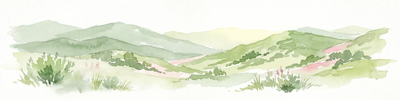
A soft, painterly watercolor illustration depicting layered green mountain ridges and rolling foothills under a bright, open sky.
Protected landscapeCalifornia
106 km away#5 closest

West

Angeles National Forest: Mapped Protected Landscapes and Geographic Terrain in California

Mountain wilderness and Mediterranean watershed geography

Spanning the San Gabriel and Sierra Pelona ranges, Angeles National Forest serves as a dramatic ecological transition zone. This analysis of its protected landscape focuses on the interaction between steep canyons, high peaks, and the distinct chaparral and conifer zones that shape California geography.

Area
2,652.26 km²
Established
1908
Relief
Mountain
Climate
Mediterranean
Wildlife reserveCalifornia
109 km away#6 closest

Southeast

Little Picacho Wilderness: Exploring the Protected Volcanic Terrain and Desert Geography

A rugged wilderness reserve in southeastern California

Little Picacho Wilderness is a protected desert landscape located along the lower Colorado River corridor. The area is defined by dramatic volcanic ridges, Picacho Peak, and extensive arid desert washes. This wildlife reserve serves as an important refuge for desert bighorn sheep, desert tortoises, and free-roaming wild horse herds, offering a clear window into the rugged geography of the Sonoran Desert.

Area
154.65 km²
Established
1994
IUCN
Ib
Relief
Mountain
A watercolor painting showing a soft-toned landscape with a winding river in the foreground, a forested middle ground, and rolling mountains in the distance.
Protected landscapeUnited States of America
136 km away#7 closest

Northeast

Lake Mead National Recreation Area: Desert Reservoir and Protected Landscape Atlas

United States protected geography and reservoir terrain

Spanning the lower Colorado River, Lake Mead National Recreation Area represents a unique convergence of desert ecosystems and large-scale water management. Its geography includes extensive reservoir shorelines, deep canyon corridors, and volcanic basin terrain that provide a foundational look at the arid environments of the American Southwest. The area remains a significant study of how engineered water features alter and interact with complex desert landscapes.

Area
6,053.31 km²
Established
1936
IUCN
V
Visitors
6.4M annual
A stylized graphic illustration of a vast desert landscape with jagged, rocky mountains, rolling hills, and desert shrubs like agave and yucca in the foreground.
Wildlife reserveArizona
138 km away#8 closest

Northeast

Mount Nutt Wilderness: Mapping the Volcanic Canyons and Desert Landscapes of Arizona

A protected wilderness area in the central Black Mountains

Mount Nutt Wilderness offers a dramatic look at high desert topography, characterized by fortress-like volcanic formations and deeply incised canyons. This protected area in northwestern Arizona provides essential habitat for desert bighorn sheep while showcasing the contrast between sun-baked mesas and lush, spring-fed riparian zones.

Area
114 km²
Established
1990
IUCN
Ib
Water
Minor water
MoriAtlas Explorer

Joshua Tree National Park

Explore the map, landscapes, and protection details for Joshua Tree National Park.