

Mori Atlas logo
National parkKarijini National Park

Discover the mapped boundaries and natural terrain of this significant national park.

Karijini National Park: Western Australia's Protected Landscape & Geographic Atlas

Karijini National Park stands as a key protected area within the vast geographic expanse of Western Australia. This MoriAtlas entry offers detailed insight into the park's identity as a national park, focusing on its mapped landscape context and the regional geography of Western Australia. Users can explore the park's protected boundaries and understand its place within the broader atlas of Australian natural landscapes.

GorgesAncient GeologySlot CanyonsWestern AustraliaPilbaraRock Formations

Karijini National Park

National park

Park overview

Structured park overview, official facts, and landscape profile for Karijini National Park

Karijini National Park park facts, protected area profile, and essential visitor context
Review the core facts for Karijini National Park, including designation, size, terrain, visitor scale, habitats, and operating context in one park-focused overview.

About Karijini National Park

Karijini National Park represents one of Western Australia's most significant protected areas, encompassing a landscape of extraordinary geological age and visual drama within the heart of the Pilbara region. The park straddles the Hamersley Ranges, a mountain range that rises abruptly from the surrounding semi-arid plains, creating a dramatic backdrop of ancient, eroded rock formations that have been shaped by water and wind over billions of years. The park is physically divided into northern and southern sections by a corridor containing the Hamersley and Robe River railway and the Marandoo iron ore mine, with tourist facilities, gorges, and attractions concentrated in the more accessible northern half. The southern portion of the park remains largely untouched, with no sealed access roads and fewer visitors, offering a wilder and more remote experience for those seeking solitude in this ancient landscape. Karijini's significance extends beyond its geological wonders to encompass deep cultural heritage, with the park remaining an important cultural landscape for the Banyjima, Kurrama, and Innawonga peoples whose ancestors have lived in this region for tens of thousands of years. The park's establishment and subsequent renaming in 1991 reflected a growing recognition of both the area's natural significance and the importance of honouring Indigenous place names and cultural heritage.

Quick facts and research context for Karijini National Park

Karijini National Park spans 6,274 square kilometres in the Pilbara region of Western Australia, situated about 1,055 kilometres north of Perth. The park was established in 1969 under its original name, Hamersley Range National Park, and was officially renamed Karijini in 1991. It is governed by the Department of Parks and Wildlife Western Australia and holds IUCN Category II protection status. The park's geological foundation consists of banded iron formation, dolomite, and shale layers that collectively form one of the planet's most ancient and visually dramatic landscapes. The park receives approximately 166,000 visitors annually, with the majority exploring the northern section where major gorges and waterfalls are accessible via sealed and gravel roads.

Park context

Deeper park guide and search-rich context for Karijini National Park

Karijini National Park history, landscape, wildlife, and travel context
Explore Karijini National Park through its history, landscape character, ecosystems, wildlife, conservation priorities, cultural context, and seasonal travel timing in a structured park guide built for atlas discovery and search intent.

Why Karijini National Park stands out

Karijini is most renowned for its spectacular gorge system, which includes Dales Gorge, Weano Gorge, Hamersley Gorge, Joffre Gorge, Hancock Gorge, and Knox Gorge, among others. These deep, ancient gorges contain slot canyons, cascading waterfalls, and inviting water holes where visitors can swim in crystalline cold pools surrounded by towering red rock walls. The park's geological significance is extraordinary, with exposed rock formations representing some of the oldest on Earth, including the Brockman iron formation, Wittenoom dolomite, and Mount McRae Shale. The contrast between the rust-red cliff faces, deep green vegetation around water pools, and the clear blue skies creates one of Australia's most visually striking natural landscapes. The park also contains significant asbestos deposits in Yampire and Wittenoom Gorges, for which visitors are appropriately warned.

Karijini National Park history and protected-area timeline

The history of Karijini National Park is deeply intertwined with the long human occupation of the Pilbara region by Aboriginal peoples. The Banyjima, Kurrama, and Innawonga peoples have maintained traditional connections to this Country for more than 20,000 years, with archaeological evidence demonstrating continuous habitation and land management practices throughout this extensive period. These Indigenous land management practices, including fire-stick farming, shaped the diverse vegetation patterns and ecological communities found in the park today. The European discovery of the area came in 1861 when explorer Francis Thomas Gregory led an expedition into the region, naming the Hamersley Range after his friend Edward Hamersley. The park was formally established in 1969 as Hamersley Range National Park, making it one of the earlier protected areas in Western Australia's conservation estate. In 1991, the park was officially renamed Karijini National Park, adopting the Banyjima name for the range, thereby acknowledging the deep cultural significance of the area and the traditional owners' connection to the land. This renaming represented a broader movement in Australian conservation to recognise and incorporate Indigenous heritage into the naming and management of protected areas.

Karijini National Park landscape and geographic character

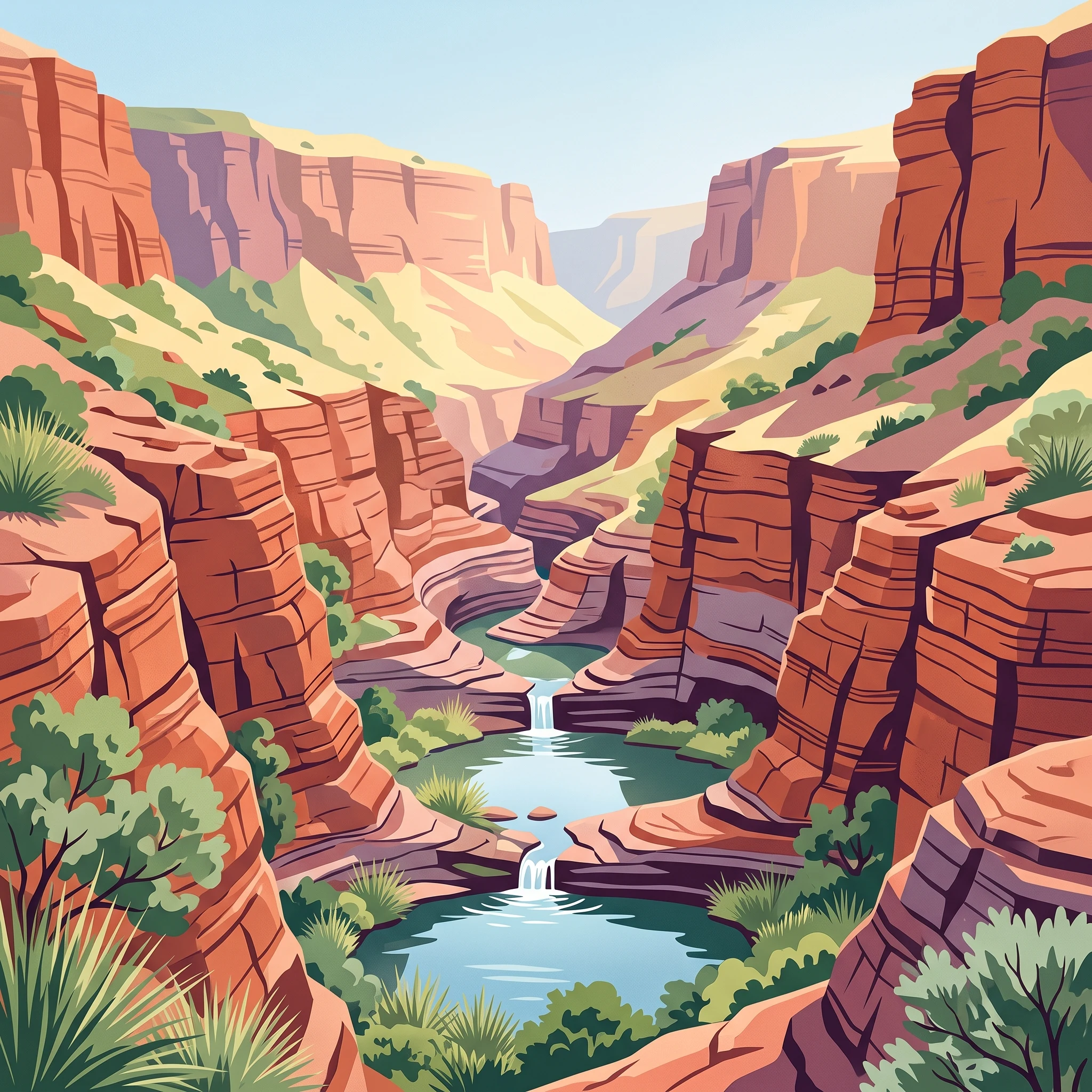
The landscape of Karijini National Park is defined by its ancient and dramatically eroded mountain terrain within the Hamersley Ranges. The park showcases an extraordinary array of geological formations, with rock strata estimated at 2.5 billion years old among the oldest on the planet. The most visually striking features are the deep gorges that have been carved through the ranges by water erosion over millions of years, creating narrow slot canyons, cascading waterfalls, and deep natural pools. Dales Gorge, one of the most accessible and visited areas, features the spectacular Fortescue Falls and the circular DH. Lawrence Gorge. Weano Gorge offers challenging walks through narrow passages past Handrail Pool, while Hamersley Gorge in the northwest provides dramatic views of tumbling waterfalls. The northern section of the park contains the majority of these gorges, including Joffre, Hancock, Knox, Red, and Munjina Gorges, each offering unique geological displays and scenery. The landscape is characterised by the distinctive red and orange hues of iron-rich rock formations, with banded iron formation creating striking horizontal stripes across cliff faces. The underlying geology includes the Brockman iron formation, Wittenoom dolomite, and Mount McRae Shale, each contributing to the visual diversity of the terrain.

Karijini National Park ecosystems, habitats, and plant life

The nature of Karijini reflects the semi-arid tropical environment of the Pilbara, supporting biodiversity adapted to harsh conditions with seasonal water availability. The park's vegetation varies from spinifex grasslands on the plateau areas to denser shrublands and eucalyptus woodlands along drainage lines and in gorges where water persists. The riparian zones surrounding the gorges and waterholes support richer plant communities than the surrounding landscape, with river red gums and ghost gums providing shade and habitat. The park's position north of the Tropic of Capricorn places it in a tropical semi-arid climate zone characterised by high summer temperatures frequently exceeding 40 degrees Celsius, winter nights that can bring frost, and an annual rainfall of 250 to 350 millimetres delivered primarily through summer thunderstorms and cyclones. This climate pattern creates dramatic seasonal variation in the park's appearance, with the wet season bringing temporary waterfalls and flowing streams while the dry season reveals the park's more permanent water sources in the deeper pools and gorges. The geological diversity of the park, with its different rock types and soil formations, contributes to habitat variation that supports the park's array of plant and animal species.

Karijini National Park wildlife and species highlights

Karijini National Park supports a range of wildlife adapted to the semi-arid Pilbara environment, with the most visible large mammals including red kangaroos and euros (common wallaroos) that are commonly seen throughout the park, particularly in cooler parts of the day. Rock-wallabies, including Rothschild's rock-wallaby, are well adapted to the rocky gorge environments and can be observed navigating the steep cliff faces and boulders. Predators include dingos, while the park also supports echidnas, various reptile species including geckos, goannas, legless lizards, and a variety of snakes including pythons. The bat population includes several species that roost in the caves and crevices of the gorges. Birdlife is particularly abundant around water sources and in the gorge environments, with numerous species adapted to the arid conditions. The park's wildlife has evolved to cope with the extreme temperature variations and seasonal water scarcity that characterise the Pilbara, with many species exhibiting nocturnal or crepuscular activity patterns to avoid the intense heat of midday.

Karijini National Park conservation status and protection priorities

Karijini National Park holds significant conservation value as one of Western Australia's largest and oldest national parks, protecting a representative sample of the Pilbara's unique landscapes, geological heritage, and biodiversity. The park's IUCN Category II designation recognises its primary purpose of protecting natural ecosystems while allowing for sustainable visitor use and enjoyment. The protection of the Hamersley Ranges' ancient geological formations preserves not only visual landscape values but also significant scientific and educational resources that illustrate Earth's early geological history. The conservation of the park also maintains important habitat for the species that have evolved in this semi-arid environment, including the endangered and restricted-range species that depend on the specific rocky gorge habitats. The continued management of the park by the Department of Parks and Wildlife Western Australia addresses challenges including visitor safety in areas containing asbestos, fire management, and the maintenance of access infrastructure while preserving the park's natural values.

Karijini National Park cultural meaning and human context

Karijini National Park holds profound cultural significance for the Banyjima, Kurrama, and Innawonga Aboriginal peoples whose traditional Country encompasses the Hamersley Ranges and surrounding landscapes. The name Karijini itself derives from the Banyjima language, meaning 'hilly place', reflecting the Indigenous understanding and naming of this dramatic landscape that has been passed down through generations. Archaeological evidence of Aboriginal occupation in the area dates back more than 20,000 years, demonstrating one of the longest continuous cultural associations with any landscape in Australia. Traditional land management practices, particularly fire-stick farming, played a significant role in shaping the vegetation patterns and ecological diversity found in the park today, representing sophisticated ecological knowledge developed over millennia of careful country management. The park therefore represents not only a significant natural protected area but also a living cultural landscape where Indigenous heritage and contemporary conservation values intersect.

Top sights and standout views in Karijini National Park

The most outstanding highlights of Karijini include the spectacular gorge system, where deep red cliffs frame cascading waterfalls and inviting swimming pools such as Fortescue Falls in Dales Gorge and Handrail Pool in Weano Gorge. The geological significance of the park cannot be overstated, with 2.5-billion-year-old rock formations offering a window into Earth's ancient past. The visual drama of the landscape, with its contrast of rust-coloured rock, emerald-green vegetation around water, and blue skies, creates one of Australia's most photographed natural environments. The opportunity to swim in cold, clear water surrounded by ancient rock walls in the heart of a vast, remote landscape provides a truly unique wilderness experience. Visitors should be aware that certain areas, particularly Yampire and Wittenoom Gorges, contain blue asbestos in rock formations, and appropriate safety warnings are in place for these locations.

Best time to visit Karijini National Park

The ideal time to visit Karijini National Park is between May and September, during Australia's late autumn, winter, and early spring months. This period offers warm daytime temperatures that are comfortable for hiking and exploring the gorges, with clear skies and minimal rainfall providing ideal conditions for sightseeing and photography. The nights during these months can be cold, so visitors should come prepared with warm layers for evening temperatures. Summer months from October to April bring extremely high temperatures regularly exceeding 38 degrees Celsius, with additional risk of bushfires making outdoor activities dangerous and impractical. Summer also brings the wet season, with thunderstorms and cyclones common, which can create flash flood dangers in the gorges and may cause road closures. The winter months offer the most reliable and safe conditions for exploring all areas of the park, though the spectacular waterfalls may be reduced in flow as the dry season progresses.
Park location guide

Geography guide, regional context, and park location map for Karijini National Park

Karijini National Park park geography, regions, and map view in Australia
Understand where Karijini National Park sits in Australia through a broader geographic reading of the surrounding landscape, nearby location context, and its mapped position within the national park landscape.

How Karijini National Park fits into Australia

Australia is a constitutional monarchy and federal parliamentary democracy comprising six states and ten territories. With a population of nearly 28 million, it is one of the world's most urbanised countries, with most people concentrated on the eastern seaboard. The country has a high Human Development Index and is known for its cultural diversity, ancient Aboriginal heritage, and unique wildlife.

Wider geography shaping Karijini National Park in Australia

Australia occupies the entire Australian continent, the island of Tasmania, and numerous smaller islands. It is the world's flattest and driest inhabited continent, featuring vast deserts in the interior (the Outback), tropical rainforests along the eastern coast, and a coastline bordering the Indian and Pacific Oceans.

Map view of Karijini National Park

Use this park location map to pinpoint Karijini National Park in Australia, understand its exact geographic position, and read its mapped placement within the surrounding landscape more clearly.

Pigeon | © OpenStreetMap contributors

Location context for Karijini National Park

Western Australia
Park atlas

Trace the regional spread of protected areas surrounding Karijini National Park, mapping additional gorge systems and ancient geological formations.

Discover Other National Parks Near Karijini, Exploring Western Australia's Ancient Pilbara Landscapes and Protected Gorges
After exploring Karijini National Park's iconic gorges and ancient geological strata, continue your atlas discovery by browsing other protected areas within Western Australia's Pilbara region. Compare diverse landscapes and identify additional national parks to understand the broader geographic context of Australia's remarkable natural heritage through mapped park geography.
National parkWestern Australia

Millstream Chichester National Park: A Mapped Protected Landscape in Western Australia

Explore its geographic spread and natural terrain features.

Millstream Chichester National Park is a designated national park within the vast geographic expanse of Western Australia. This entry provides detailed atlas-level information focused on its protected boundaries and distinct landscape characteristics. Understand the park's role within the regional geography and its significance as a mapped natural area for discovery and exploration.

Area
2,381.67 km²
Established
1970
IUCN
II
Relief
Mixed relief
National parkWestern Australia

Collier Range National Park National Park: Mapped Boundaries and Western Australia Geography

Discover protected area context and regional landscape features.

Collier Range National Park is a key protected area offering a focused lens into the diverse geography of Western Australia. This national park's mapped boundaries provide essential structure for understanding its place within the regional landscape. Explore the specific geographic context and protected-area identity of Collier Range National Park, contributing to a richer comprehension of Western Australia's natural terrain.

Area
2,351.62 km²
Established
1978
IUCN
II
Relief
Mixed relief
National parkWestern Australia

Mount Augustus National Park: Western Australia National Park & Protected Landscape

Explore its mapped terrain and regional geographic context.

Mount Augustus National Park represents a significant protected area within the diverse geography of Western Australia. This page serves as a portal to understanding its specific protected landscape characteristics and its contribution to the state's mapped natural areas. Users can explore the park's geographic identity, its defined boundaries, and its role within a broader atlas of protected lands, providing essential context for regional landscape discovery.

Area
91.68 km²
Established
1989
IUCN
III
Relief
Mountain
National parkPilbara

Murujuga National Park: Pilbara Region's Protected Natural Landscape

Explore mapped park boundaries and regional geography.

Murujuga National Park represents a vital protected territory within the Pilbara region of Australia. This page provides focused atlas information on the park's geographic scope, mapped terrain, and its significance as a national park. Understand the unique landscape context of Murujuga National Park and its place within the broader regional geography, offering detailed insights for geographic exploration.

Area
48.51 km²
Established
2013
Climate
Arid
Access
Moderate access
National parkGascoyne

Kennedy Range National Park: Explore Its Dramatic Sandstone Plateau and Canyon Geography

Discover the protected landscapes of Gascoyne's arid terrain.

Kennedy Range National Park is a protected area defined by its striking geological formations, including a vast sandstone plateau and deeply incised canyons that create a dramatic mesa landscape. Situated in the Gascoyne region, this national park serves as a significant example of Australia's inland semi-arid environments, offering rich context for mapped terrain exploration. Understand the park's protected boundaries, its unique arid-zone ecosystems, and the visual contrast it presents within the regional geography, providing valuable insights for atlas-driven discovery.

Area
1,416.6 km²
Established
1993
IUCN
II
Relief
Highland
National parkWestern Australia

Karlamilyi National Park: A Premier Protected Desert Landscape in Western Australia

Explore mapped terrain, river systems, and dune fields across this vast national park.

Karlamilyi National Park is the largest national park in Western Australia, covering a significant portion of the Pilbara's desert wilderness. This protected area showcases an entire sequence of desert landforms, including vast sand dune fields, rugged tablelands, and the complete Rudall River catchment system. As a place of profound cultural importance and a prime example of intact desert landscape processes, Karlamilyi National Park offers unique insights into Australia's natural and geographic heritage within a mapped context.

Area
12,837.1 km²
Established
1977
IUCN
II
Relief
Lowland
Watercolor illustration showing a coastal scene with shoreline, water, and landforms
National parkWestern Australia

Cape Range National Park: Exploring Western Australia's Protected Landscape Identity

Mapped boundaries and regional geographic context.

Cape Range National Park is a vital protected area located in Western Australia, offering a distinct geographic profile for atlas exploration. This entry focuses on its identity as a national park, detailing its mapped landscape and regional context. Users can discover the park's place within the state's diverse terrain and understand its significance as a mapped conservation area, contributing to a structured understanding of Australia's protected lands.

Area
476.55 km²
Established
1965
IUCN
II
Relief
Highland
National parkAustralia

Cape Range (South) National Park: Exploring Australia's Arid Semiarid Landscape Atlas

Mapped protected boundaries and regional terrain in Western Australia.

Cape Range (South) National Park, situated in Western Australia, is a vital protected area safeguarding a significant portion of the Carnarvon xeric shrublands. This national park offers a glimpse into a unique arid-zone landscape defined by low ranges, sandy plains, and characteristic acacia shrubland. Its establishment extends conservation efforts in the Gascoyne region, providing crucial context for mapped geography and the distribution of arid-adapted ecosystems within Australia's broader atlas.

Area
270.72 km²
Established
2020
IUCN
II
Relief
Upland

Common questions about visiting, size, designation, and location context for Karijini National Park

Karijini National Park FAQs for park facts, access, geography, and protected area context
Find quick answers about Karijini National Park, including protected-area facts, park geography, trail and visitor context, and how the park fits into its surrounding country and regional landscape.
MoriAtlas Explorer

Continue Your Protected Areas Search Across the Global Atlas

Deepen your exploration by continuing the structured search for national parks and protected areas worldwide. Utilize the comprehensive filtering capabilities to compare different conservation landscapes and refine your understanding of global park geography. Discover more about the distribution and characteristics of protected natural areas.

Global natural geography