Mori Atlas logo
Nearby park discovery

Geographic distribution of nearby parks and regional conservation sites in Hessen

Protected Areas and Natural Landscapes Near Kleine Lummersbach bei Cyriaxweimar

Explore the regional geography and distribution of protected areas situated in the surroundings of Kleine Lummersbach bei Cyriaxweimar. This overview maps the proximity of nearby nature reserves and protected landscapes, highlighting the structural context of the Lahn hills and the surrounding Hesse region.

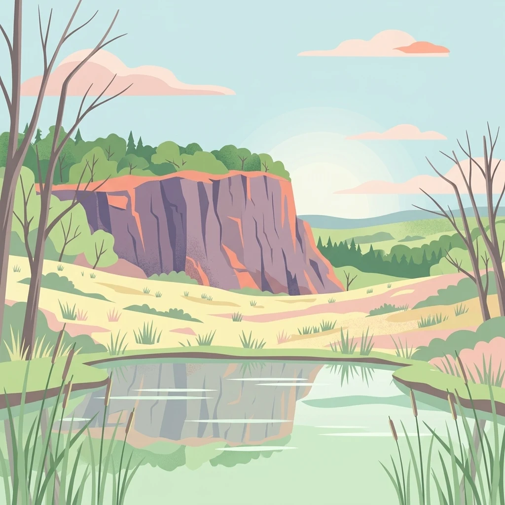
A flat-style digital illustration showing a calm pond in the foreground with tall reeds, a grassy meadow in the midground, and a large rocky cliff face backed by forest and a soft sky.

A mosaic of old woodland, heath grassland, and military-born wetlands above the Lahn valley.

Kleine Lummersbach bei Cyriaxweimar

Kleine Lummersbach bei Cyriaxweimar is a nature reserve and European Fauna-Flora-Habitat (FFH) area on the southwestern outskirts of Marburg, in the Marburg-Biedenkopf district of Hesse, Germany. Covering roughly 138 hectares, it sits between the villages of Cyriaxweimar, Haddamshausen, and Hermershausen and forms part of the broader Natura 2000 network. The area is unusual because its present-day habitat mosaic was shaped largely by more than half a century of military training. Heavy tracked and wheeled vehicles crushed tracks into the soils, opening tree cover and creating the small temporary pools and open clearings that today support rare amphibians, butterflies, and bats. Decades of disturbance also kept large parts of the forest free from commercial forestry, allowing unusually old oak and beech stands to develop. Today the reserve protects a richly varied mix of broadleaf and mixed woodland, scrub, wet depressions, meadows, nutrient-poor grassland, small ponds, and a disused sandstone quarry. Its combination of woodland, open habitats, and water features makes it a small but ecologically dense site that contributes to the conservation of several protected species in central Hesse.

Location
Germany
Park type
Nature reserve
Established
1997
Area
1.4 km²
Kleine Lummersbach bei Cyriaxweimar Protected Area
Regional park map

See the ranked park cluster in its geographic setting

Nearby parks around Kleine Lummersbach bei Cyriaxweimar

This regional map shows the same 20 nearby parks ranked below around Kleine Lummersbach bei Cyriaxweimar. Select a ranked marker to highlight that park’s boundary where boundary data is available.
Reference park: Kleine Lummersbach bei CyriaxweimarRanked nearby parkSelected boundary: Kleine Lummersbach bei Cyriaxweimar20 nearby parks shown
20 nearby parks

Ranked distance metrics and regional environmental comparisons across surrounding protected landscapes

Parks and Protected Areas Geographically Near Kleine Lummersbach bei Cyriaxweimar

Geographic proximity measurements establish a ranked index of surrounding protected areas relative to Kleine Lummersbach bei Cyriaxweimar. Boundary-based separation and recorded habitat traits provide structured comparison signals for exploring regional park geography.
A horizontal watercolor painting depicting a soft-focus landscape of low green hills, wooded areas, and open fields under a pale sky.
Protected landscapeHessen
About 14 km away#1 closest

West

Naturpark Lahn-Dill-Bergland: Protected Area Mapping and Geographic Landscape Overview

Regional Mittelgebirge terrain in the heart of Hessen

Naturpark Lahn-Dill-Bergland serves as a core protected landscape in western Hessen, spanning the districts of Marburg-Biedenkopf and Lahn-Dill-Kreis. This atlas entry details the park's topography, including the Bottenhorner Hochflächen and the expansive forest masses of the Schelder Wald, providing a clear geographic context for its layered ridges and scenic river valley systems.

Area
830.9 km²
Established
2007
Relief
Mountain
Climate
Temperate
A soft watercolor painting showing a panoramic view of a marshy valley with green coniferous forests in the midground and pale, soft-hued hills in the background.
Nature reserveHesse
16 km away#2 closest

North

Christenberger Talgrund: A Protected Nature Reserve in the Central Hessian Burgwald Landscape

Geography of a rare valley bog and stream corridor

Christenberger Talgrund is a protected nature reserve located at the edge of the Burgwald forest in Hesse. The site features a distinctive valley floor shaped by the Rodenbach, where historical peat accumulation has preserved transitional bog habitats, rare Sphagnum mosses, and specialized moisture-dependent invertebrate populations within a compact, forested setting.

Area
1.166 km²
Established
1987
IUCN
IV
A soft watercolor painting depicting a gentle landscape with rolling hills, meadows, and sparse vegetation, rendered in muted pastel tones.
Nature reserveHessen
About 16 km away#3 closest

Southwest

Brühl von Erda Nature Reserve: Geographic Overview and Mapped Protected Landscapes

A diverse habitat mosaic in the Hessen region

Located in central Hessen, the Brühl von Erda nature reserve comprises 33 hectares of complex terrain including spring hollows, wet meadows, and dry grassland swards. This protected area acts as a focal point for regional conservation, preserving a transition zone between waterlogged fens and drier, thin-soil slopes within the Lahn-Dill-Kreis district.

Area
0.337 km²
Established
1979
IUCN
IV
Relief
Lowland
Nature reserveHessen
About 17 km away#4 closest

East

Saurasen bei Schweinsberg Nature Reserve: Protected Geography and Floodplain Landscape

Ohm River basin protected area in central Hessen

Saurasen bei Schweinsberg is a compact, habitat-rich nature reserve located in the Ohm River lowland. The protected area features a unique hydrological mosaic of alder-ash woodland, sedge fens, and wet grasslands, serving as a sanctuary for diverse migratory birds and the threatened European tree frog. This site offers deep insights into the intersection of active river dynamics and traditional cultural landscapes in central Hessen.

Area
0.136 km²
Established
1985
Relief
Lowland
Climate
Temperate
Watercolor illustration depicting a serene wetland landscape with a small forest patch on the left, grassy marshland in the center, and a pink-toned shoreline on the right.
Nature reserveHessen
About 18 km away#5 closest

Northeast

Franzosenwiesen/Rotes Wasser: Protected Nature Reserve and Lowland Stream Geography

Hessen regional conservation and Burgwald foothills terrain

The Franzosenwiesen/Rotes Wasser reserve offers a window into the lowland stream geography of central Germany. This site preserves a vital corridor of wet meadows and riparian habitat along the Rotes Wasser brook, serving as a key example of the conservation landscapes found within the rolling foothills of the Burgwald region in Hessen.

Area
0.898 km²
Established
1987
Relief
Lowland
Climate
Temperate
A watercolor painting depicting a soft-focus landscape with rolling green hills in the distance, a grassy foreground, and a single bare-branched tree on the right side.
Nature reserveHessen
About 21 km away#6 closest

Northeast

Merzhäuser Teiche Nature Reserve: Geographic Atlas and Protected Landscape Overview

A dense wetland mosaic in the Burgwald region of Hessen.

Merzhäuser Teiche is a compact nature reserve situated on the edge of the Burgwald, Hesse's largest contiguous forest. Centered on three small ponds linked by the Kimmelbach, the area protects a transition zone of alder swamp, wet meadows, and nutrient-poor grassland. This site serves as a crucial habitat for waterbirds, amphibians, and rare butterflies within a characteristic central German landscape.

Area
0.201 km²
Established
1990
IUCN
IV
Relief
Lowland
A soft watercolor painting showing layered, gentle green hills and rolling terrain against a light, pale sky.
Nature reserveHessen
26 km away#7 closest

Northeast

Kalkkuppen bei Winterscheid: Protected Geological Landscapes in the Gilserberg Heights

A detailed atlas view of this Hessen nature reserve

This nature reserve in the Schwalm-Eder-Kreis district protects four distinctive limestone hills built from Lower Muschelkalk. These outcrops stand as a geological anomaly within a region otherwise dominated by sandstone. The site serves as a vital component of the European Habitats Directive, offering a rare opportunity to study calcareous vegetation patterns and structural geology within the rolling terrain of northern Hesse.

Area
0.429 km²
Established
1986
IUCN
IV
Watercolor painting of a rolling landscape with green hills, a small body of water, and clusters of trees under a soft, pale sky.
Nature reserveHessen
About 28 km away#8 closest

Southwest

Koppe Nature Reserve: Protected Basalt Hill and Geological Landmark in Central Hessen

A defined volcanic cone within the forested Hörre ridge range

Koppe stands as a prominent nature reserve in central Hessen, recognized for its unusual conical shape and exposed columnar basalt formations. This protected site integrates geological interest with varied woodland habitats, ranging from dense summit beech forests to open heath communities of pine and juniper. It remains a focal point for understanding the complex natural terrain and protected landscape transitions found throughout the wider Westerwald-Lahn-Taunus region.

Area
0.234 km²
Established
1931
Relief
Mountain
Climate
Temperate
A watercolor painting of soft, green rolling hills and clusters of trees set against a pale, light-washed sky on a white background.
Nature reserveHesse
About 32 km away#9 closest

East

Biedenbacher Teiche bei Florshain Nature Reserve, Hesse Protected Wetland Geography

A rare refuge of stream-fed ponds and meadows in northern Hesse

The Biedenbacher Teiche bei Florshain nature reserve protects a dense concentration of wetland microhabitats along the Biedenbach stream. Spanning ponds, sedge beds, and floodplain woodlands, this site offers a look into the vital ecological character of the Schwalm-Eder region. It remains an essential, undisturbed archive of local wetland flora and fauna within the larger, intensively cultivated Hessian agricultural landscape.

Area
0.035 km²
Established
1983
Relief
Lowland
Climate
Temperate
A watercolor painting showing a soft, pastoral landscape with green trees, rolling hills, and purple-toned wetland areas against a white background.
Nature reserveHessen
About 36 km away#10 closest

South

Egelpfuhl bei Oberwetz Nature Reserve: A Protected Wetland Sanctuary in Hessen, Germany

Geographic overview of a protected wet meadow valley in the Lahn-Dill district.

Egelpfuhl bei Oberwetz occupies a 10.75-hectare valley hollow defined by its moist soils and near-natural brook course. This nature reserve supports a structured habitat for endangered meadow butterflies and birds, acting as an essential ecological bridge within the intensively farmed landscape of central Germany.

Area
0.108 km²
Established
1990
IUCN
IV
Watercolor painting showing a landscape with hills, forest, and a body of water
National parkHesse
37 km away#11 closest

Northeast

Kellerwald-Edersee National Park: Hesse's Protected Landscape Exploration

Mapped boundaries and geographic context for this German national park.

Navigate the protected landscape of Kellerwald-Edersee National Park, a key national park situated in the German state of Hesse. This atlas entry focuses on its precise geographic definition, mapped terrain features, and the broader regional context it occupies within central Germany. Gain structured insights into the park's conservation significance and its place in the mapped landscape.

Area
76.88 km²
Established
2004
IUCN
II
Relief
Highland
Watercolor painting of green rolling hills and a calm, pale water surface under a soft, light-colored sky.
Protected landscapeHessen
About 39 km away#12 closest

Northeast

Naturpark Kellerwald-Edersee: Protected Landscape Geography and Map Context

Mapping the forest ridges and reservoir shores of northern Hessen

Examine the geographic foundation of Naturpark Kellerwald-Edersee, a sprawling protected area in northern Hessen. The landscape is characterized by its expansive ancient beech forests, deep valleys, and the Edersee reservoir. This entry provides a detailed look at the park's low mountain terrain, elevation ranges, and the ecological connectivity between its wooded ridges and surrounding river systems.

Area
595.25 km²
Established
2001
Relief
Mountain
Climate
Temperate
A watercolor painting showing a soft, green, rolling valley with a stream and yellow wildflowers in the foreground against a light, distant hilly horizon.
Nature reserveNorth Rhine-Westphalia
About 39 km away#13 closest

North

Naturschutzgebiet Ölfetal: Mapped Boundaries and Grassland Ecosystems in the Sauerland

A regional protected nature reserve near Medebach

Naturschutzgebiet Ölfetal offers a detailed look into the meadow-and-stream ecology of the Sauerland uplands. Stretching along the Ölfe river, the reserve features a complex mosaic of wet and dry meadow habitats that support specific plant species and local grassland bird populations. Its protected status maintains a vital stream corridor that bridges agricultural zones and broader ecological networks within eastern North Rhine-Westphalia.

Area
0.124 km²
Established
2003
Relief
Lowland
Scope
Terrestrial
A soft, painterly watercolor illustration of a rolling green landscape with a gentle stream or wetland area in the foreground and rounded hills in the background.
Nature reserveHessen
About 40 km away#14 closest

West

Aubachtal bei Rabenscheid Nature Reserve: Mapped Geography and Protected Area Data

A primary stream-valley habitat within the Hessen region

Aubachtal bei Rabenscheid offers a detailed look at a high-quality nature reserve in the Lahn-Dill-Kreis area of Hessen. The landscape is defined by the narrow valley of the Aubach, which supports a complex mosaic of wet meadows, alder swamp woodlands, and sedge mires. This site functions as a significant ecological refuge, contributing to the broader European network of protected areas through its distinct biodiversity and clean-water stream ecosystems.

Area
0.63 km²
Established
1984
IUCN
IV
Relief
Upland
Nature reserveNorth Rhine-Westphalia
About 40 km away#15 closest

North

Naturschutzgebiet Ahretalsystem: Mapped Protected Brook Valley and Low Mountain Landscape

Ecological terrain analysis of the Sauerland uplands

Naturschutzgebiet Ahretalsystem protects a refined valley system in the Rothaargebirge, showcasing the intricate interplay between near-natural stream courses and traditional mountain pastures. This reserve serves as a key site for montane brook conservation, hosting significant botanical populations within its mosaic of wet meadows and dry slope grasslands across the Winterberg landscape.

Area
0.358 km²
Established
2008
Relief
Mountain
Climate
Temperate
Protected areaNordrhein-Westfalen
About 41 km away#16 closest

West

Wildebach Protected Area: Mapping the Stream Valley Landscape of Nordrhein-Westfalen

Protected natural terrain and creek corridor geography

Wildebach represents a preserved 20-hectare stretch of valley habitat within the Siegerland region. This protected area offers a clear look at a natural stream course and damp meadows set against the backdrop of the Rothaargebirge foothills. Use this atlas resource to trace the park boundaries, stream morphology, and the microtopography that characterizes this segment of the Heller watershed.

Area
28.94 km²
Relief
Upland
Climate
Temperate
Scope
Terrestrial
Watercolor painting of a soft, hazy landscape featuring gentle green hills, clusters of trees, and open fields against a white background.
Nature reserveHessen
About 42 km away#17 closest

West

Bermershube bei Heisterberg Protected Area: Geography and Landscape Atlas

Nature reserve in the Hoher Westerwald region of Hessen

Located in the Lahn-Dill district, Bermershube bei Heisterberg represents a concentrated mosaic of upland natural features. The protected landscape combines deciduous slope forests with spring-fed wetlands and meadows, creating an essential ecological corridor within the Hoher Westerwald plateau. Detailed geographic insights reveal the interplay between the Amdorf brook drainage and the surrounding undisturbed forest ecosystems.

Area
0.449 km²
Established
1984
IUCN
IV
Relief
Upland
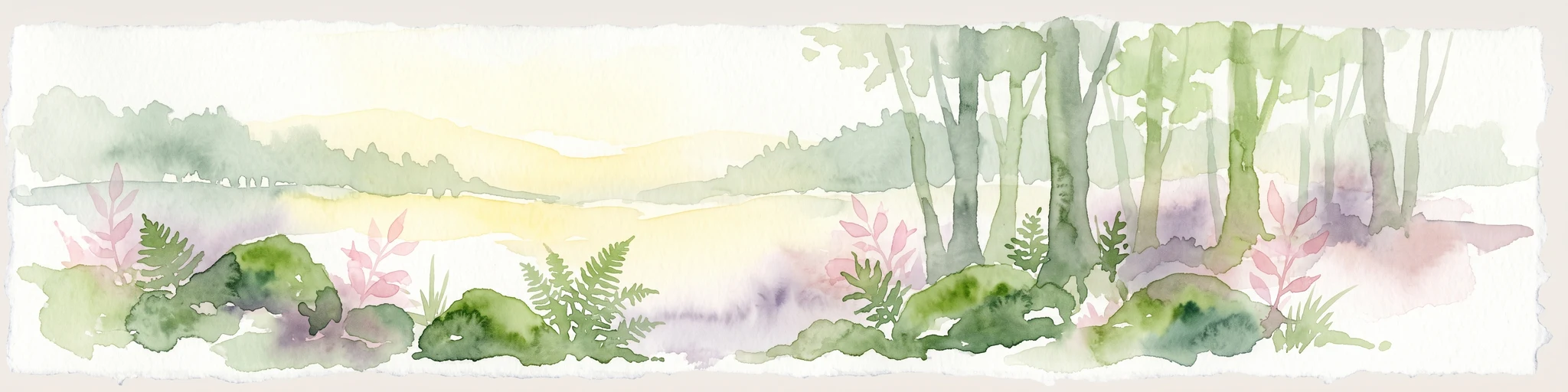
A watercolor illustration of a forest edge with trees, mossy rocks, and ferns, featuring a soft, bright, and airy color palette.
Nature reserveHessen
About 42 km away#18 closest

West

Rabenscheider Holz Nature Reserve: Protected Landscapes and Stream Valleys in Hessen

Westerwald upland terrain and diverse woodland habitats

Rabenscheider Holz preserves a vital cross-section of Westerwald habitats, integrating mature broadleaf forests and traditionally managed grasslands. This nature reserve serves as an ecological anchor within the Ketzerbach stream valley, maintaining important woodland and meadow biodiversity in the state of Hessen.

Area
0.573 km²
Established
1994
IUCN
IV
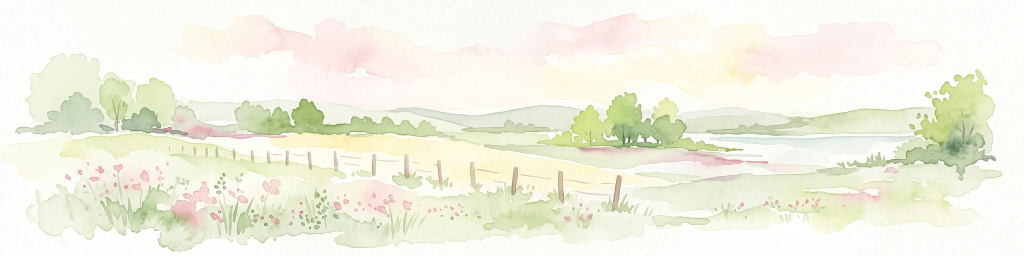
A watercolor painting of a gentle river valley with soft green hills, wildflowers in the foreground, and a wooden fence line.
Nature reserveNorth Rhine-Westphalia
About 42 km away#19 closest

North

Naturschutzgebiet Orketal Nature Reserve: Protected Brook Valley and Floodplain Geography

Regional conservation landmark in North Rhine-Westphalia, Germany.

Naturschutzgebiet Orketal protects a continuous stretch of the Orke brook, featuring a rich assembly of floodplain meadows and nutrient-poor grassland habitats. Documented for its role in maintaining healthy freshwater ecosystems and supporting breeding populations of kingfishers and grey wagtails, the reserve forms a critical link in the broader Medebacher Bucht ecological network.

Area
1.98 km²
Established
1999
Climate
Temperate
Scope
Terrestrial
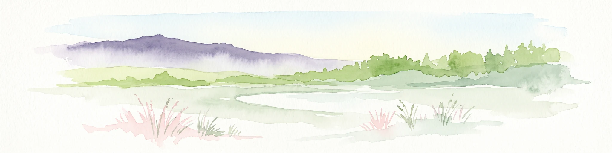
A wide watercolor illustration showing a purple mountain in the distance, a line of green trees, a body of water, and pinkish plants in the foreground on a white background.
Nature reserveWetteraukreis
About 42 km away#20 closest

South

Breitwiese bei Steinfurth und Oppershofen: A Wetteraukreis Nature Reserve Profile

Examining floodplain ecology and protected wetland boundaries

This protected area in the Wetteraukreis highlights the importance of small-scale floodplain management for biodiversity. The site preserves essential wet meadow habitats, riparian edges, and river-adjacent ecosystems that provide sanctuary for specialized amphibian and bird species. It serves as an informative case study for understanding how conservation grazing and corridor protection interact within an intensive agricultural landscape.

Area
0.164 km²
Established
1990
IUCN
IV
Relief
Lowland
Distance methodology

Geographic measurements, not driving distances

How nearby park distances are calculated

Distances use park boundaries whenever the available geometry allows it. When one or both boundaries are missing, the mapped park locations provide a clearly labelled estimate. Every value represents straight-line geographic separation and does not use roads or routing.

Boundary distance

Calculated between the nearest points of both park boundaries.

Location-to-boundary estimate

Estimated from one mapped park location to the nearest boundary of the other park.

Mapped-location estimate

Estimated between the mapped locations of both parks.

MoriAtlas Explorer

Explore the Geographic Boundaries of Kleine Lummersbach bei Cyriaxweimar

Examine the unique ecological mosaic of the Kleine Lummersbach bei Cyriaxweimar nature reserve. Through the MoriAtlas dataset, trace the development of its oak and beech forests, its water-filled vehicle tracks, and its role as a key Natura 2000 protected landscape within the Hessen region of Germany.