Mori Atlas logo
Park earthquake history

Review documented seismic event dates, epicentre locations, and magnitudes within the region

Historical Catalogue of Recorded Earthquakes Associated with Kruger National Park in South Africa

This collection provides a comprehensive record of seismic activity documented in the vicinity of Kruger National Park. The catalogue features historical data including event magnitudes, focal depths, and relative epicentre distances calculated for the expansive savanna landscape of the Lowveld. Each entry offers access to source documentation for researchers and geographers interested in the seismic history of this protected region.

Related tags

Big FiveSavannaSafariTransfrontier ParkSouth African wildlife

South Africa's premier Big Five safari destination spanning nearly 20,000 square kilometres of savanna wilderness

Kruger National Park

Kruger National Park is South Africa's first and most celebrated national park, protecting a vast expanse of savanna ecosystems in the northeastern corner of the country. Established in 1926 through the merging of the Sabi and Shingwedzi Game Reserves, the park covers approximately 19,623 square kilometres, stretching 360 kilometres from north to south along the border with Mozambique. The park occupies portions of both Limpopo and Mpumalanga provinces, with the Lebombo Mountains marking its eastern boundary and the Limpopo and Croodile Rivers forming natural borders to the north and south respectively. Kruger is part of the Greater Kruger landscape, which encompasses adjacent private reserves and forms the core of the Great Limpopo Transfrontier Park, a peace park linking protected areas across South Africa, Zimbabwe, and Mozambique. The park is renowned for its exceptional biodiversity, supporting more species of large mammals than any other African game reserve and providing sanctuary to all members of the Big Five.

Location
South Africa
Park type
National park
Established
1926
Area
19,623 km²
Kruger National Park Atlas Entry

Trace historical epicenter locations and computed proximity to the protected Lowveld landscape

Searchable Historical Earthquake Records near Kruger National Park

Browse a structured chronological catalog of recorded seismic events associated with Kruger National Park through calculated epicenter distance. Each factual entry displays the event date, magnitude, focal depth, reported regional location, and precise distance from the park boundaries alongside direct links to primary seismological sources.

Sort by
Magnitude
Location

This page describes catalogued earthquakes associated with the park by epicentre location and distance. It does not establish causation, assess current danger, or predict future earthquakes.

No earthquake records match the current filters

Park atlas

Expand your geographic discovery with featured conservation profiles and regional maps

Discover Notable National Parks and Protected Areas Beyond Kruger National Park

Transitioning from the regional profile of Kruger National Park, users can navigate a broader global selection of managed wilderness zones and conservation territories. Comparing diverse environmental contexts provides deeper geographic insight into how different countries map, protect, and preserve their ecological assets.
National parkMasvingo Province
About 88 km away#1 closest

North

Gonarezhou National Park: National Park Protected Landscape in Masvingo Province

Explore mapped boundaries and regional geography

Gonarezhou National Park represents a significant protected area within the geography of Masvingo Province, Zimbabwe. This page details its specific mapped boundaries and landscape context, offering a focused view for atlas-based exploration. Understand the park's natural terrain and its positioning within the regional protected lands for comprehensive geographic discovery.

Area
5,053 km²
Established
1975
IUCN
II
Relief
Mixed relief
National parkGaza Province
89 km away#2 closest

Northeast

Banhine National Park National Park: Mapped Boundaries and Gaza Province Geographic Context

Discover the protected landscape identity of this national park.

Delve into the specifics of Banhine National Park, a designated national park situated within Gaza Province. This entry provides essential geographic details, focusing on its mapped protected area, its status as a national park, and how it fits within the broader regional geography of southern Mozambique. Understand the park's landform context and its atlas-relevant attributes for structured discovery.

Area
7,250 km²
Established
1973
IUCN
II
Relief
Lowland
National parkEswatini
About 90 km away#3 closest

South

Hlane Royal National Park: Eswatini's Vast Protected Savanna Woodland Landscape

Mapped geography and protected area context in northeastern Eswatini.

Delve into Hlane Royal National Park, Eswatini's most extensive protected territory, a prime example of lowland bushveld savanna. This national park is defined by its expansive woodland terrain, dotted with ancient trees and seasonal water pans, creating a dynamic landscape. It is an essential component for understanding the regional geography and the distribution of protected areas within Southern Africa, offering significant opportunities for landscape exploration.

Area
300 km²
IUCN
VI
Relief
Lowland
Climate
Subtropical
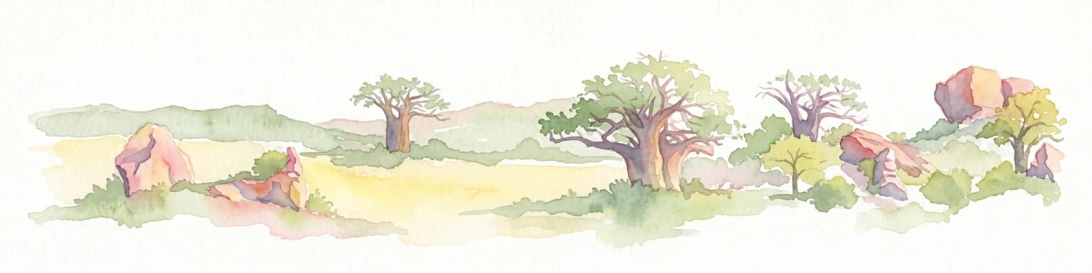
Watercolor illustration of a savanna landscape with scattered trees and rock formations
National parkLimpopo
150 km away#4 closest

Northwest

Mapungubwe National Park: National Park with Rich Iron Age Archaeology and Savanna Landscapes

Explore Limpopo's unique protected area at the three-nation border.

Mapungubwe National Park is a vital protected area in South Africa's Limpopo region, renowned for its dual significance as a major archaeological site and a diverse natural landscape. This national park protects a significant portion of savanna ecosystems, including unique riparian forests and mopane woodlands, surrounding the historic Mapungubwe Hill. As part of the Greater Mapungubwe Transfrontier Conservation Area, it plays a crucial role in regional conservation, offering a distinct geographic perspective at the confluence of South Africa, Botswana, and Zimbabwe, and serving as a focal point for atlas-based discovery of protected lands.

Area
280 km²
Established
1998
IUCN
II
Relief
Lowland
Protected areaSouth Africa
About 185 km away#5 closest

Northwest

Greater Mapungubwe Transfrontier Conservation Area: A Transboundary Protected Landscape in South Africa

Mapped savanna ecosystems and rich cultural heritage at the Limpopo River confluence.

The Greater Mapungubwe Transfrontier Conservation Area, situated in South Africa, stands as a remarkable example of collaborative conservation across national borders. This protected area protects diverse savanna landscapes, particularly around the confluence of the Shashe and Limpopo Rivers, and holds immense cultural value as home to the Mapungubwe Cultural Landscape, a UNESCO World Heritage Site. By examining its mapped geography and protected area status, users gain insight into the ecological corridors vital for wildlife and the ancient archaeological heritage preserved within this significant transfrontier initiative.

Area
4,872 km²
Established
2009
IUCN
VI
Relief
Upland
National parkMozambique
About 248 km away#6 closest

Northeast

Zinave National Park: A Mozambique National Park with Diverse Woodland and Savanna Landscapes

Explore its mapped terrain, riverine forests, and savanna ecosystems.

Zinave National Park in Mozambique is a significant protected area spanning 4,000 square kilometers. Its landscape comprises a rich variety of ecosystems, including miombo woodlands, mopane-dominated areas, acacia savannas, and distinct riverine forests along the Save River. This national park is strategically positioned within the Greater Limpopo Transfrontier Park, highlighting its importance for regional wildlife corridors and conservation geography. The terrain offers a unique insight into the transitional ecological zones of southern Africa, showcasing diverse natural habitats and mapping potential for its protected boundaries.

Area
4,000 km²
Established
1973
IUCN
II
Relief
Lowland
Nature reserveKwaZulu-Natal
About 304 km away#7 closest

South

Hluhluwe, Imfolozi Park Nature Reserve: Detailed Protected Area and Regional Geography

Explore mapped boundaries and landscape context in KwaZulu-Natal.

Hluhluwe, Imfolozi Park, designated as a nature reserve, offers a distinct protected landscape within KwaZulu-Natal, South Africa. This entity page provides an atlas-focused view, emphasizing the park's mapped boundaries and its contribution to the region's protected area network. Understand its geographic setting and unique landscape character through structured data, essential for any explorer keen on mapping protected lands.

Area
960 km²
Established
1895
Relief
Mountain
Climate
Subtropical
National parkMatobo District
307 km away#8 closest

Northwest

Matobo National Park: Detailed Protected Area and Landscape Geography in Matobo District

Explore its mapped boundaries and regional context.

Delve into the protected landscape of Matobo National Park, a significant national park situated in Matobo District, Zimbabwe. This entry focuses on providing a structured atlas view, highlighting the park's mapped boundaries and its integration within the regional geography. Understand Matobo National Park as a distinct protected area entity, perfect for users seeking detailed geographic context and landscape insights for map-based discovery and conservation analysis.

Area
424 km²
Established
1926
IUCN
II
Relief
Mountain
MoriAtlas Explorer

Continue Exploring Kruger National Park's Protected Landscape Geography and Map

Delve deeper into the mapped geography and protected landscape context of Kruger National Park. Understanding its specific terrain, from sweeping savannas to riverine ecosystems, offers crucial insight for anyone exploring southern Africa's natural geography through structured atlas data. Continue your discovery of this significant protected area and its place within the broader regional conservation map.

Global natural geography