Peaks
Silver How
393.8 m

A structured analysis of regional coordinates, area measurements, and natural land features.
Examine the geographic characteristics of the Lake District National Park located in Cumbria. This profile provides data on recorded boundary perimeters, spatial extent, and the diverse network of valleys, woodlands, and wetlands defined within the protected area.
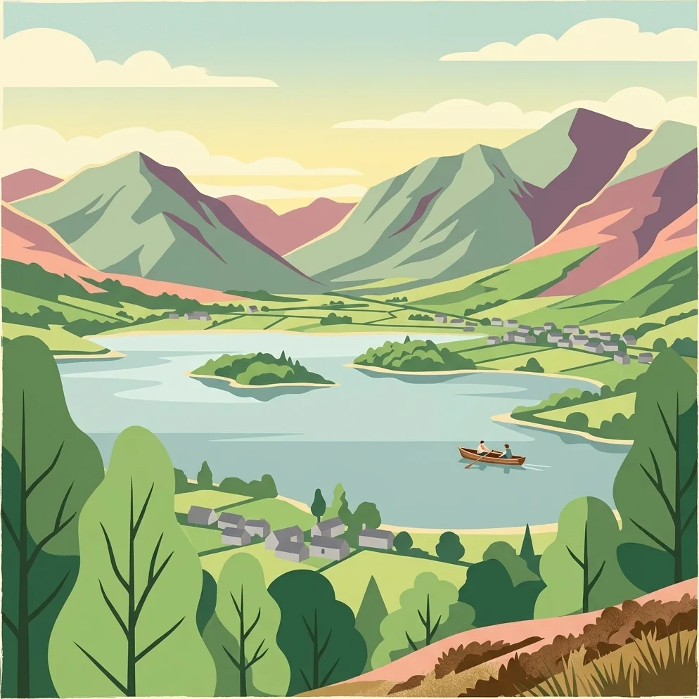
England's mountainous heartland of lakes, fells, and literary heritage
Lake District National Park occupies a dramatic landscape of mountainous terrain, glacial valleys, and natural lakes in northwest England. Established in 1951, it was the second national park created in the United Kingdom and remains the largest national park in England. The park encompasses a compact but spectacular region where steep-sided valleys (known as dales), open moorland, and cloud-piercing peaks rise above stillwaters that give the area its characteristic character. The Lake District holds deep significance as a center of English Romantic poetry, having inspired works by William Wordsworth, Samuel Taylor Coleridge, and Beatrix Potter, whose former home at Hill Top remains preserved within the park. The landscape was shaped during the last Ice Age, leaving behind the U-shaped valleys, tarns, and moraines that define the region's topography today.
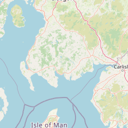
Regional Placement within Cumbria and the United Kingdom
Interactive boundary geometry and recorded spatial dimensions
Mountain classification and recorded internal valleys, woods, and streams
Peaks
393.8 m
Peaks
757 m
Peaks
516 m
Peaks
455 m
Peaks
612 m
Peaks
504 m
Temperate mountain relief, major water bodies, and broad forest cover profiles
Mountains · Valleys · Lakes · Rivers · Woodland · Wetland
Temperate broadleaf forest · Temperate coniferous forest · Grassland · Wetland · Riverine habitat · Lacustrine habitat
Explore the Diverse Protected Landscapes and Regional Park Geography Surrounding England's Famed Lake District
Southeast

Explore mapped boundaries and distinctive limestone terrain.
Yorkshire Dales National Park offers a rich tapestry of mapped natural landscapes, characterized by its iconic limestone valleys, U-shaped glacial formations, and rolling heather-clad moorlands. Situated within North Yorkshire, this protected area showcases a unique karst geology, evident in features like Malham Cove and extensive cave systems. The park's traditional dry-stone walls and working farms contribute to a living cultural landscape, making it a prime destination for atlas-driven geographic discovery and understanding regional terrain.
Southeast
Lancashire coastal wetland and reedbed ecosystems
Leighton Moss RSPB Reserve stands as the largest reedbed complex in north west England. This protected wildlife reserve offers a distinct landscape contrast between enclosed freshwater wetlands and the open saltmarsh of Morecambe Bay, providing essential habitat data for regional environmental study and birdlife geography.
Northwest
A vital protected coastal stretch along the Solway Firth.
Discover the unique geography of Allonby Bay, a marine protected zone distinguished by its sweeping dunes, honeycomb worm reefs, and saline marshes. Situated along the Solway coast of Cumbria, the area serves as a critical habitat for marine species while housing significant Roman milefortlets that mark the historic frontier of northern England.
Southwest
Mapped protected landscape in northwest England
West of Walney is a major marine protected area off the Cumbrian coast, notable for its 388 square kilometre coverage of subtidal mud and sand habitats. This site is uniquely shaped by its overlap with offshore wind energy infrastructure, providing a distinct study in regional conservation and seabed management within the Irish Sea.
Northeast
Explore its mapped boundaries, Roman heritage, and remote moorland terrain.
Northumberland National Park protects over 1,050 square kilometers of remote and stunning natural beauty in northern England, bordering Scotland. This page provides a structured overview of its protected landscape, focusing on its geographic context within the county of Northumberland, its designation as a National Park, and its renowned status as Europe's largest Dark Sky Park. Users can discover the park's characteristic moorland terrain, the archaeological significance of Hadrian's Wall, and the vast expanses of Kielder Forest, offering an atlas-level understanding of this unique frontier landscape.
Southeast
A sprawling network of moorland, wetlands, and gritstone valleys.
Spanning over a thousand hectares, this protected nature reserve integrates varied terrain across the Bradford district. From the ancient post-glacial sediments of Bingley North Bog to the sweeping gritstone plateaus, the reserve provides essential habitat for upland bird species and rare reptiles. It stands as a vital corridor of wilderness within the northern landscape, illustrating the geological character of the South Pennines.
Southeast
Mapped boundaries and natural terrain context for this UK national park.
Investigate the Peak District National Park, a cornerstone of the United Kingdom's protected natural areas. This MoriAtlas entry provides essential details on its geographic scope, mapped boundaries, and landscape characteristics. Engage with structured data to understand how this national park fits into the atlas of the United Kingdom, supporting detailed geographic and protected-area discovery for researchers and explorers.
North
Regional landscape profile in the Scottish Borders
Upper Tweeddale National Scenic Area encompasses 12,770 hectares of refined southern Scottish countryside. This atlas entry provides an overview of the area landscape, defined by its narrow river valley, tributary glens, and the significant upland plateau of the Tweedsmuir Hills. Examine the geographic intersection of protected habitats, historic estates, and the winding course of the River Tweed.
Deepen your understanding of the Lake District National Park's unique protected landscape by continuing your atlas-driven exploration. Examine its intricate geography, mapped terrain, and the distinct natural features that define this significant national park. Discover how its landscape fits within the broader regional context of Cumbria and its importance as a protected area.