
Why Lienig Nature Reserve stands out
The Lienig is best known for its species-rich deciduous forest communities growing on a steep, north-facing Muschelkalk slope dissected by deeply incised erosion gullies. The woodland includes beech-dominated stands on the upper slopes and ash, sycamore maple, and oak-rich ravine and shaded-slope forests in the ravines, with rare features such as surviving wych elm in the face of widespread Dutch elm disease. The reserve is also recognised for its karst-morphological formations on shell limestone bedrock and for the unusually rich display of spring geophytes, particularly yellow archangel, cuckoo pint, and yellow anemone, that cover the forest floor in early spring. Together with the wider Werratal landscape around Creuzburg, it is regarded as a German national hotspot of biological diversity.
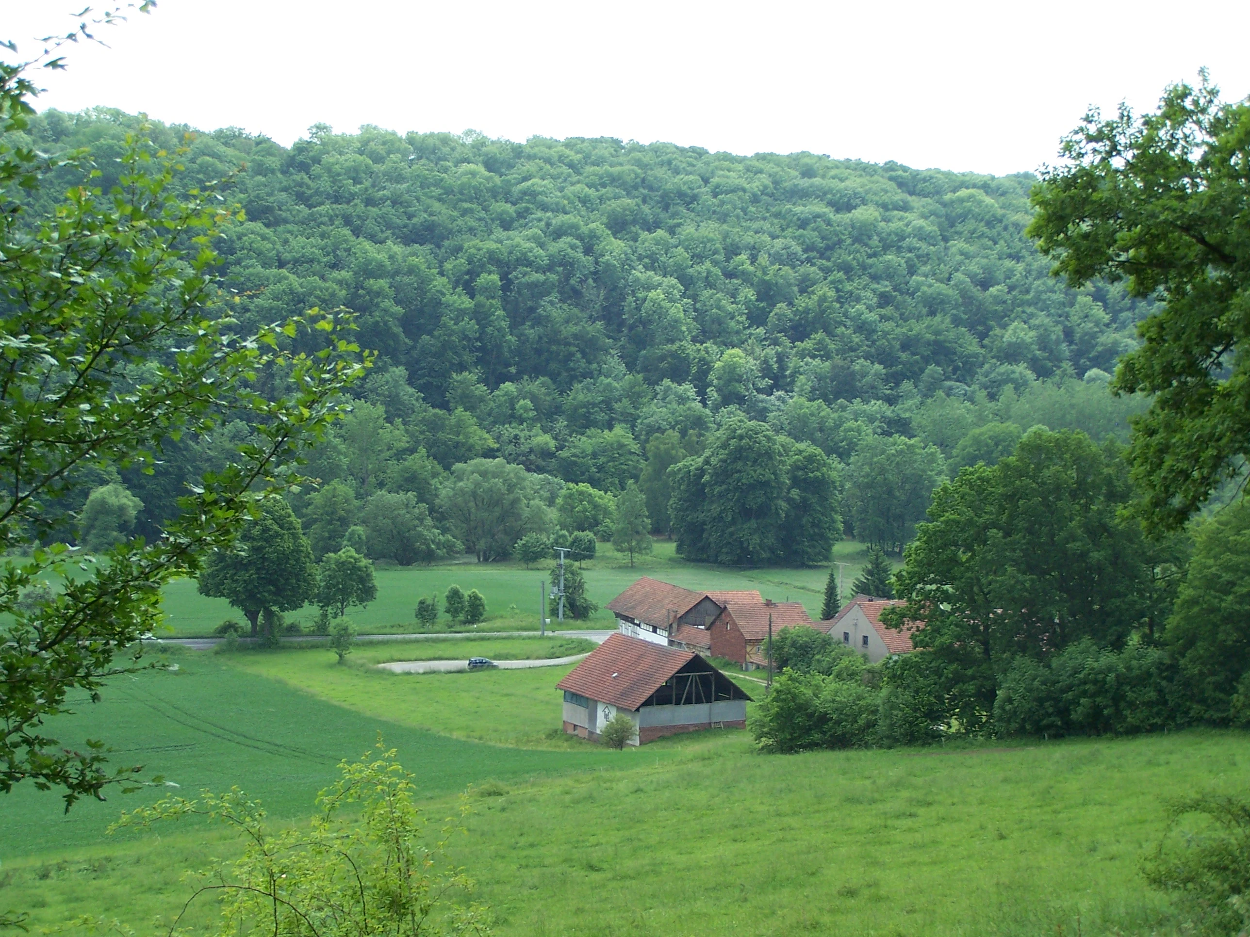
Lienig Nature Reserve history and protected-area timeline
The protection history of the Lienig begins with a provisional safeguarding order between 1957 and 1961, issued under the administration of the former East German Ministry of Agriculture, Survey, and Forestry. On 30 March 1961 the Lienig was formally declared a nature reserve, and the definitive protection order came into force on 1 May 1961. The original purpose was to preserve both the species-rich deciduous forest and the relatively rare karst-morphological formations on the shell limestone slope.
In September 2000 the Thuringian Ministry for the Environment proposed that the Lienig, together with the Klosterholz und Nordmannssteine and Ebenauer Köpfe reserves, be designated as a Fauna-Flora-Habitat area; the proposal was forwarded to the European Commission via the Federal Environment Ministry. After acceptance into the transnational Natura 2000 network, the "Thüringer Natura 2000-Erhaltungsziele-Verordnung" of 29 May 2008 translated the designation into binding Thuringian law. The resulting three-part site carries the EU number 4927-303, the Thuringian number 35, and WDPA code 555520295.
At a broader scale, the Werra river below the Lienig also falls within the "Werra bis Treffurt mit Zuflüssen" Habitat area (2,260 hectares, EU code 5328-305), linking terrestrial forest conservation here with aquatic and riparian protection priorities further downstream. The area's wider significance was confirmed when, together with the Hohen Meißner and the Kaufunger Wald, the Werra valley near Creuzburg was identified as a nationally recognised hotspot of biological diversity under the Federal Agency for Nature Conservation programme.
Lienig Nature Reserve landscape and geographic character
The Lienig is a steeply dissected, north-facing slope rising from the Werra valley floor. From around 198 metres at the base the terrain climbs through a succession of forested breaks to a high plateau at roughly 270 to 278 metres, giving the protected area a vertical range of about 80 metres. The upper transition to the plateau is sharp, creating a clear edge between protected woodland and the agricultural land that presses in from above.
Eleven narrow, V-shaped erosion gullies, or Runsen, cut across the slope. The deepest of them reaches depths of around twelve metres and widths of about five metres, especially along the lower-hang trail. The pattern of incision is linked to surface water behaviour during snowmelt and heavy rainfall: water flowing off the cultivated land above has carved a dense, closely spaced network of gullies into the calcareous substrate.
The bedrock is the classic German Triassic Muschelkalk sequence: dolomitic-marly plates of the middle Muschelkalk on the lower slope, an encrinite limestone horizon rich in fossils of the sea lily Encrinus liliiformis above that, and the resistant upper main Muschelkalk near the crown of the slope. Karst-influenced weathering on shell limestone contributes to the relatively rare small-scale karst landforms for which the reserve is recognised. The resulting soils are equally varied, ranging from thin, calcareous rendzinas on the flatter upper slopes to deeper, loamy, stony leptosols derived from the middle Muschelkalk on the lower slopes and within the ravines.
Lienig Nature Reserve ecosystems, habitats, and plant life
The Lienig's ecological character is shaped by old, broadleaf-dominated forest communities on calcareous bedrock, set within a small and clearly delineated slope-and-gully system. The forest is thought to originate from centuries of coppice-with-standards use, and today the canopy structure reflects that history: tall standard trees rise above a layered understorey of regrowth broadleaves, producing the varied light and humidity conditions typical of this management legacy.
On the upper and mid-slopes, the prevailing community is a wood barley beech forest dominated by European beech. The ravines and shaded hollows, in contrast, support ash, sycamore maple, wild cherry, wild service tree, pedunculate oak, scattered wych elm, and other so-called noble broadleaves that make up a fungal and lichen-rich ravine and shaded-slope forest community. These forest types correspond directly to Habitats Directive habitat types qualifying for special protection at the European level.
The most visually striking aspect of the Lienig's natural character is its spring flora. Yellow archangel, cuckoo pint, and yellow anemone flower in abundance beneath the still-bare canopy, creating visible populations that are widely cited as some of the most luxuriant of their kind in the Thuringian Werra valley. Eighteen recorded lichen species and two lichen-dwelling fungi underline the value of the site's old-forest microclimate. The combination of geological variety, slope orientation, and centuries of low-intensity forest use gives the Lienig a notably high-density mosaic of habitats compressed into a very small area.
Lienig Nature Reserve wildlife and species highlights
The Lienig is a forested reserve, and its documented fauna is dominated by woodland species typical of central European deciduous forests. Bird species observed in the area include tawny owl, tree pipit, and song thrush, standard inhabitants of beech and mixed broadleaf woodland in this region.
While the terrestrial fauna of the Lienig itself has been only lightly documented, the reserve is ecologically continuous with a much richer river-associated fauna downstream through the Werra valley. The Werra river running below the Lienig forms part of the wider Natura 2000 network aimed at conserving brook lamprey, bullhead, European otter, yellow-bellied toad, northern crested newt, and a community of bats that includes lesser horseshoe, Bechstein's, western barbastelle, and pond bats. Together with old woodland, deadwood-rich slopes, and karstic rock outcrops, this connectivity gives the Lienig a meaningful role in maintaining wildlife corridors along the Werratal.
Lienig Nature Reserve conservation status and protection priorities
The Lienig is protected at three nested levels. At its core is the 22.5-hectare Thuringian nature reserve designation (TH 25 / WDPA 164451) established in 1961 to conserve species-rich deciduous forest and karst landforms. This designation places it in IUCN Management Category IV, recognising the active role of management in maintaining the protected habitat.
The reserve also forms part of the EU-wide Natura 2000 network through the 147-hectare "Creuzburger Werratal-Hänge" Fauna-Flora-Habitat site (EU 4927-303, Thuringia number 35), which links the Lienig with the neighbouring protected areas Klosterholz und Nordmannssteine and Ebenauer Köpfe. The shares of FFH habitat types here are tied to conservation objectives set by the "Thüringer Natura 2000-Erhaltungsziele-Verordnung" of 2008. The river below the reserve extends that network further, connecting forest conservation here with aquatic habitat protection for the Werra itself.
In addition to these statutory designations, the Werratal landscape around Creuzburg, including the Lienig, has been recognised as a national hotspot of biological diversity under the German federal programme for biological diversity, confirming its particular importance for species, populations, and habitat richness. While hotspot status is not a legal protection regime, it has supported targeted federal funding for conservation measures in the area.
Lienig Nature Reserve cultural meaning and human context
The Lienig has no strong narrative around indigenous or long-standing human settlement, but it is deeply embedded in the cultural landscape of the western Thuringian Werra valley. The forest is widely understood as a legacy of historical coppice-with-standards management, a traditional form of woodland use that shaped both the species mix and the structure of the canopy still visible today.
Immediately below the reserve runs the trace of the former Werratalbahn railway between Schwebda and Wartha, now converted into the long-distance Werratal cycling route. The route traces the boundary of the protected area and forms the main modern visitor link between the Lienig, the Werra river, and the villages along the valley, including Freitagszella and Creuzburg. Geologically, the slope also forms part of the broader "Engtalstrecke zwischen Creuzburg und Treffurt" natural region, a section of the Werra valley long valued in regional literature and natural history writing as a corridor of calcareous forest and karst scenery.
Top sights and standout views in Lienig Nature Reserve
The Lienig's strongest qualities lie in the combination of old beech and ash-dominated forest on Muschelkalk bedrock, deeply incised slope gullies, small-scale karst features, and a spring understorey that bursts into flower beneath a still-bare canopy. Its integration into the larger Creuzburger Werratal-Hänge Natura 2000 site means that the woodland and the river ecosystem are managed as a coherent ecological unit, a feature that elevates the reserve's conservation value beyond its compact size.
The reserve's location along the Werratal cycling route, its proximity to the medieval town of Creuzburg, and its position within a region identified as a national biodiversity hotspot give the Lienig considerable regional identity despite its modest footprint.
Best time to visit Lienig Nature Reserve
The Lienig is a forested reserve rather than a traditional visitor destination, so timing matters more for what visitors will notice than for any operational season. Early spring is the most distinctive period: the visit is scenically defined by the carpeting of yellow archangel, cuckoo pint, and yellow anemone across the forest floor in April and May, before the beech canopy closes. Late spring and early summer offer the clearest conditions for walking the lower-hang trail and observing the gully topography.
Autumn brings mature beech foliage and an active fruiting season in the old broadleaf stands, which can be of interest for those tracing forest structure and historical coppice legacies. Winters are generally quiet, although snow can dramatically emphasise the relief of the gullies and slope forms. At any time of year the surrounding Werra valley is accessible via the Werratal cycling route, which passes directly along the northern edge of the reserve.