Mori Atlas logo
Park earthquake history

Review documented seismic occurrences associated with the Drakensberg mountain system geography.

Maloti-Drakensberg Park Earthquake History and Regional Seismic Event Archive Records

Review this historical catalogue detailing earthquake records identified near the Maloti-Drakensberg Park. These entries display event dates, magnitudes, and epicentre proximity for seismic activity in the broader KwaZulu-Natal and Lesotho border region. Access this structured data to understand historical seismic trends observed across the escarpment and high mountain plateaus.

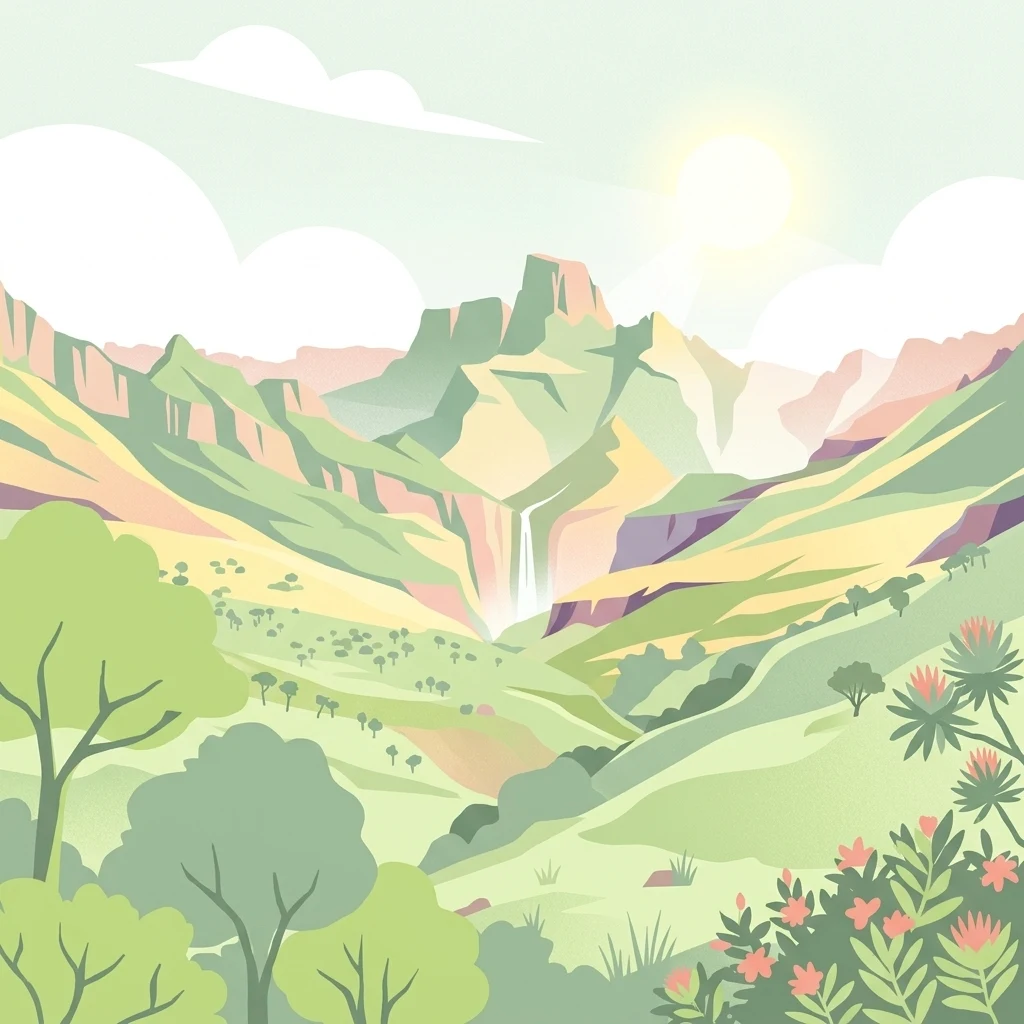
A digital illustration of a green mountain valley with a waterfall cascading down a cliff face under a bright sun.

A transboundary World Heritage Site linking the high mountains of Lesotho and South Africa.

Maloti-Drakensberg Park

The Maloti-Drakensberg Park is a transboundary World Heritage Site that combines protected areas in the Kingdom of Lesotho and the KwaZulu-Natal province of South Africa. It was formally established by linking the Sehlabathebe National Park in Lesotho with the uKhahlamba Drakensberg Park in South Africa, creating a single internationally recognised heritage area across one of Africa's most dramatic mountain landscapes. The park covers the heart of the Drakensberg mountain system, the highest range in southern Africa, where steep escarpments, deep valleys, and high plateaus give way to montane and sub-alpine ecosystems of global biodiversity importance. Habitats here support high levels of plant and animal endemism, and the area is widely recognised for its extraordinary concentration of San rock art, which forms the largest single gallery of prehistoric paintings in the world. Beyond its natural values, the Maloti-Drakensberg Park is also a model of international cooperation in conservation. It forms part of a broader peace park initiative that aims to manage linked protected areas across the border as a coherent ecological and cultural landscape, linking highland wilderness protection with the protection of one of humanity's most important bodies of rock art.

Location
South Africa
Park type
Protected area
Established
2001
Area
2,493.1 km²
Highest point
3,482 m
Maloti-Drakensberg Park Protected Area

Filter Maloti-Drakensberg Park records by depth and distance

Investigate earthquake observations around Maloti-Drakensberg Park

Maloti-Drakensberg Park’s collection relates reported epicentres to its transboundary mountain territory through calculated distance, keeping seismic records distinct from basalt cliffs, escarpments, and montane ecosystems. Dates, magnitudes, depths, localities, sources, and park distances enable historical comparison without asserting mountain effects, boundary occurrence, current risk, or recurrence.

Sort by
Magnitude
Location

This page describes catalogued earthquakes associated with the park by epicentre location and distance. It does not establish causation, assess current danger, or predict future earthquakes.

No earthquake records match the current filters

Park atlas

Continue from 2,493.13 km² of mountains, valleys, cliffs, waterfalls and rivers

Discover another protected landscape beyond Maloti-Drakensberg records

Maloti-Drakensberg Park’s earthquake section leads to an independent atlas profile; the source protected area spans 2,493.13 km² of mountain terrain with valleys, cliffs, waterfalls and rivers. Its scale and landscape are not attributed to the next destination, and the browsing route does not establish shared designation, geographic closeness, geology, seismic evidence, current hazard or risk.
State or regional parkKwaZulu-Natal
Mapped location lies within the park boundary#1 closest

North

Royal Natal National Park: State or Regional Park in KwaZulu-Natal's Geography

Mapped boundaries and landscape context for South African protected areas.

Royal Natal National Park serves as a vital protected landscape within the diverse geography of KwaZulu-Natal, South Africa. This state or regional park offers a focused point for atlas exploration, allowing for a detailed understanding of its mapped boundaries and regional significance. By examining Royal Natal National Park, users can gain specific insights into South Africa's network of protected natural areas and their distribution, enriching overall geographic comprehension.

Area
80.94 km²
Established
1916
Relief
Mountain
Access
Moderate access
National parkQacha's Nek District
Park boundaries overlap#2 closest

South

Sehlabathebe National Park: Mapped Protected Landscape in Lesotho's Maloti Mountains

Explore high-altitude terrain, waterfalls, and ancient rock art sites.

Sehlabathebe National Park stands as a protected national park within the rugged Maloti Mountains of Lesotho's Qacha's Nek District. This destination is vital for understanding the geographic context of protected areas, featuring dramatic cliffs, iconic waterfalls like Tsoelikana, and numerous rock art sites that speak to its cultural and historical significance. Its high-altitude Afro-Alpine and sub-alpine ecosystems offer unique landscape characteristics and support notable biodiversity, making it a key point of interest for atlas-driven exploration of natural and protected terrains.

Area
69.5 km²
Established
1969
IUCN
IV
Relief
Mountain
Protected areaKwaZulu-Natal
Park boundaries overlap#3 closest

Northeast

uKhahlamba-Drakensberg Park: Protected Mountain Landscapes and Escarpment Geography in South Africa

Exploring the basalt cliffs and alpine plateau of KwaZulu-Natal.

uKhahlamba-Drakensberg Park encompasses an expansive protected region where the Drakensberg escarpment rises sharply from the foothills of KwaZulu-Natal. This atlas record details the park landscape, including its transition from sandstone terraces to high-altitude basalt, its extensive river gorges, and the concentration of archaeological cave sites. Use this resource to understand the geographic scale of this transboundary conservation area.

Area
2,429.13 km²
Relief
Mountain
Climate
Temperate
Access
Access unknown
Nature reserveKwaZulu-Natal
About 17 km away#4 closest

Southeast

Coleford Nature Reserve: Protected Grasslands and Wetlands in KwaZulu-Natal

Tracing the landscape of a key Drakensberg foothill reserve

The Coleford Nature Reserve represents a critical protected area in the Southern Drakensberg, featuring threatened Drakensberg Foothill Moist Grassland. Its landscape is defined by the Ngwagwane River valley and diverse wetland systems, providing essential habitat for endangered bird species. This reserve functions as a gateway to the broader montane geography of the southwestern KwaZulu-Natal region.

Area
12.72 km²
Established
1948
IUCN
IV
Relief
Highland
National parkFree State
21 km away#5 closest

North

Golden Gate Highlands National Park: Protected Area Atlas & Geographic Exploration

Mapping the natural terrain and boundaries of this national park.

Understand the geographic scope and protected landscape of Golden Gate Highlands National Park. This detail page provides an atlas-informed perspective on its natural terrain, mapped boundaries, and regional context within South Africa's Free State. It serves as a foundational entry point for exploring the park's specific geography and protected-area status.

Area
340 km²
Established
1963
Relief
Mountain
Climate
Temperate
Nature reserveKwaZulu-Natal
About 24 km away#6 closest

East

Impendle Nature Reserve: Protecting Endangered Grasslands and Mistbelt Ecosystems

A highland conservation sanctuary in the KwaZulu-Natal region

Located in the mist-prone foothills of the Drakensberg, Impendle Nature Reserve stands as a critical block of surviving Midlands Mistbelt Grassland. The reserve terrain combines rugged dolerite ridges with moisture-rich seepage zones and wetlands, providing a specialized habitat for threatened bird species. This protected area remains a significant site for regional biodiversity, emphasizing scientific conservation over expansive development within the KwaZulu-Natal landscape.

Area
30.46 km²
Established
1983
IUCN
IV
Relief
Upland
Nature reserveKwaZulu-Natal
25 km away#7 closest

Southeast

Ntsikeni Nature Reserve: High-Elevation Wetland Geography and Protected Landscape Atlas

A remote Drakensberg foothills wetland and montane grassland reserve.

Ntsikeni Nature Reserve is recognized as the largest and one of the highest wetlands in South Africa. Located in the KwaZulu-Natal province, this protected area features a unique, misty plateau landscape that sustains diverse orchid flora and essential headwater ecosystems. Use these geographic maps to examine the terrain, park boundaries, and the ecological transition between rolling foothills and the Drakensberg escarpment.

Area
92.87 km²
Established
1978
Relief
Upland
Climate
Temperate
A soft watercolor painting of a serene landscape with rolling hills in the background; a body of water in the midground; and grassy plains with a few scattered trees in the foreground.
Nature reserveKwaZulu-Natal
About 33 km away#8 closest

North

Spioenkop Dam Nature Reserve: Mapping KwaZulu-Natal Reservoir Landscapes and Heritage

Explore aquatic habitats and historic inland terrain.

Spioenkop Dam Nature Reserve serves as a focal point for protected biodiversity and historical land use in KwaZulu-Natal. The reserve spans a significant impoundment, creating a verdant aquatic habitat that contrasts with the surrounding grasslands and woodland terrain. Users can examine the park's boundaries and topographic features, including the historic Spion Kop battlefield that rises above the reservoir to anchor the northern landscape.

Area
44 km²
Established
1975
Relief
Upland
Climate
Temperate
MoriAtlas Explorer

Continue Exploring the Protected Landscapes of Maloti-Drakensberg Park

Trace the mountainous terrain and mapped boundaries of Maloti-Drakensberg Park within the broader MoriAtlas geographic database. Gain a deeper understanding of this transboundary heritage area through its unique mountain ecosystems and high-altitude geography.