Mori Atlas logo
Park earthquake history

Explore historical seismic events and location data mapped to this protected volcanic landscape.

Recorded Earthquake History and Seismic Catalogue for Mount Washington Wilderness in Oregon

This collection features a catalogued summary of historical earthquake records situated within or near the boundaries of Mount Washington Wilderness. Each entry provides event details, including timing, magnitude, and depth, derived from regional geological archives. The information offers an overview of recorded seismic occurrences associated with the surrounding geography of this Oregon Cascade wilderness area.

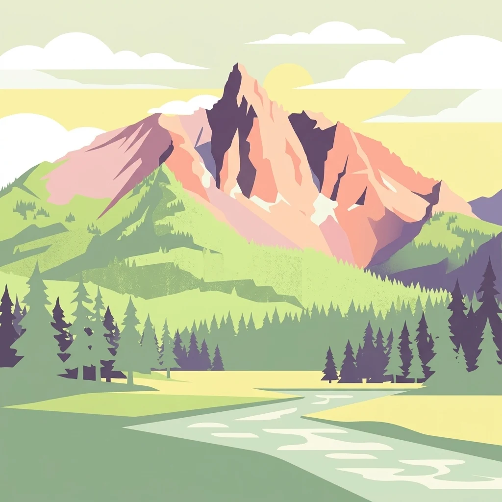
Vector-style illustration of a dramatic, angular mountain peak in the background, a forest of evergreen trees in the midground, and a stream flowing through a grassy meadow in the foreground.

A Cascades shield volcano draped in lava flows, lodgepole pine, and high-elevation lakes.

Mount Washington Wilderness

Mount Washington Wilderness is a designated wilderness area centered on Mount Washington, a shield volcano in the central Cascade Range of Oregon. Spanning more than 54,000 acres across portions of the Willamette and Deschutes National Forests, the wilderness protects an extreme volcanic landscape defined by basaltic lava flows, cinder cones, and rubble fields, interspersed with lodgepole pine, mountain hemlock, and stands of ponderosa and whitebark pine. The area includes Belknap Crater, nearly thirty lakes, and a 16.6-mile stretch of the Pacific Crest National Scenic Trail. Because it lies relatively close to the populated Willamette Valley yet is less heavily visited than other Oregon Cascades wildernesses, Mount Washington Wilderness offers a quieter backcountry experience characterized by stark terrain, forested lake basins, and seasonal snowpack. Visitor permits have been required since 1991, and motorized or mechanical equipment is prohibited in keeping with its wilderness designation. The wilderness is administered by the U.S. Forest Service and is recognized for its largely undeveloped volcanic character rather than for any single iconic feature. Ecologically, the wilderness represents a transition between dry eastern Cascades forests and the wetter western slope, with vegetation patterns closely tied to lava substrate, elevation, and aspect. Wildlife ranges from deer and elk to smaller alpine species such as pikas and marmots, while lakes support trout populations. Together, these qualities give Mount Washington Wilderness a distinctive identity among Oregon's protected wildlands as a place where Cascade geology, conifer forest, and scattered subalpine lakes meet within a compact boundary.

Location
United States of America
Park type
Wildlife reserve
Established
1964
Area
219.7 km²
Highest point
2,095 m
Explore Mount Washington Wilderness Geography

Explore Mount Washington Wilderness events by distance

Browse historical earthquakes near Mount Washington Wilderness

The earthquake history near Mount Washington Wilderness is assembled using epicentre positions and distance to the wilderness, without asserting every event was inside its boundary. Browse dates, recorded magnitudes, depths, localities, distance measures, and cited material while avoiding conclusions about mountain-driven seismicity, current safety, or expected future events.

Sort by
Magnitude
Location

This page describes catalogued earthquakes associated with the park by epicentre location and distance. It does not establish causation, assess current danger, or predict future earthquakes.

No earthquake records match the current filters

Park atlas

Continue after Mount Washington Wilderness earthquake history

Discover other park pages beyond Mount Washington Wilderness

Mount Washington Wilderness spans 219.66 km² of United States mountains, forest, lakes, and volcanic terrain between 1,400 and 1,900 metres. The related park links broaden seismic exploration, but each destination’s catalogue must support its own conclusions; the connection does not transfer this wilderness’s geology, exposure, consequences, or hazard conditions.
Protected landscapeOregon
Park boundaries overlap#1 closest

Southwest

Willamette National Forest: Geography and Protected Landscapes of the Central Oregon Cascades

Mapped terrain, old-growth forests, and protected wilderness boundaries.

Explore the expansive territory of Willamette National Forest, a primary protected area extending over 100 miles along Oregon's Cascade Range. This region features volcanic peaks exceeding 10,000 feet, extensive old-growth Douglas-fir stands, and a dense network of Wild and Scenic rivers, providing a detailed look at the geographic character and ecological heritage of the Pacific Northwest.

Area
6,790.75 km²
Established
1933
Visitors
1.7M annual
Relief
Mountain
Wildlife reserveOregon
22 km away#2 closest

Northwest

Middle Santiam Wilderness: Geographic Atlas and Protected Landscape Overview of the Oregon Cascades

Old-growth forest basins and volcanic landmarks in the Willamette National Forest.

Middle Santiam Wilderness represents a distinct segment of the central Oregon Cascades. The area is defined by its substantial old-growth coniferous forests, including 450-year-old Douglas-fir and western hemlock stands, alongside the striking 4,965-foot volcanic plug known as Chimney Peak. This map-focused record traces the river-cut valleys and high-ridge topography that shape this protected habitat.

Area
34.57 km²
Established
1984
IUCN
Ib
Relief
Mountain
Watercolor painting of a rolling mountain landscape with coniferous trees in the foreground and a hazy range of hills in the background.
Wildlife reserveOregon
About 27 km away#3 closest

West

Menagerie Wilderness Wildlife Reserve: Oregon Cascade Range Geography and Rock Pinnacles

Protected Cascade mountain terrain and unique crag clusters

Situated in the central Cascade Range of Oregon, Menagerie Wilderness provides a compact, highly defined landscape of rising rock pinnacles and lush coniferous forest. This resource traces the unique topography and protected boundaries of this specialized wilderness area, offering insight into the geological features and forest ecosystems that distinguish it from surrounding mountainous terrain.

Area
20.37 km²
Established
1984
IUCN
Ib
Relief
Mountain
A watercolor painting showing a snowy mountain peak in the background rising above rolling green hills and pine forests in the foreground.
Protected landscapeOregon
39 km away#4 closest

North

Mount Hood National Forest: Atlas of Protected Landscapes and Volcanic Geography

Exploring the Cascade Range terrain and wilderness boundaries in Oregon.

Mount Hood National Forest encompasses a vast, rugged expanse of the Oregon Cascades, anchored by the iconic, glacier-clad Mount Hood. This protected landscape contains extensive old-growth forests, high-alpine lakes, and deep river canyons. Discover the geographic extent of these wilderness areas and mountain terrain within the MoriAtlas database of protected lands.

Area
4,318.17 km²
Established
1908
Visitors
4.4M annual
Relief
Mountain
Protected areaOregon
70 km away#5 closest

East

Ochoco National Forest: Mapping the Rugged Canyons and High Desert of Central Oregon

A vast protected area defined by rimrock plateaus and pine-forest watersheds.

Located in the heart of the Ochoco Mountains, this protected landscape offers a study in ecological contrast. From its dense ponderosa pine groves to the exposed volcanic ridges of the high desert, the forest acts as a critical habitat corridor for mule deer and elk, while protecting the headwaters of the North Fork Crooked River within a diverse, multi-terrain framework.

Area
3,444.01 km²
Established
1911
Visitors
575K annual
Relief
Mountain
Wildlife reserveOregon
About 91 km away#6 closest

North

Roaring River Wilderness: Geography and Protected Area Atlas of Oregon

Ancient forest corridors and alpine lake landscapes

Roaring River Wilderness is a federally protected landscape in Oregon, defined by steep, tree-covered ridges and the vigorous Roaring River. This wilderness preserves a dense mosaic of old-growth conifers, high-elevation alpine lakes like Serene and Shellrock, and important salmon-spawning waters within the broader Mount Hood National Forest geography.

Area
148 km²
Established
2009
IUCN
Ib
Relief
Mountain
Protected landscapeOregon
92 km away#7 closest

North

Mount Hood National Recreation Area: Oregon Protected Landscape and Regional Geography

A three-unit recreational forest landscape in the Cascade Range.

Spanning over 34,000 acres, this protected landscape frames the lower volcanic slopes and forested drainages around Mount Hood. The area integrates river corridors, wilderness boundaries, and subalpine terrain, offering a clear view of the complex topography that defines the Cascade Range in northern Oregon.

Area
139.8 km²
Established
2009
Relief
Mountain
Climate
Temperate
A watercolor painting showing a wide, panoramic view of a mountain range in the background, rolling green hills in the midground, and a small cluster of evergreen trees in the foreground against a white background.
Wildlife reserveOregon
92 km away#8 closest

North

Mount Hood Wilderness: Atlas of Volcanic Peaks and Glacial Geography in Oregon

High-altitude protected landscapes and forest ecosystems

This protected area captures the dramatic character of the Cascade Range through its signature volcanic terrain, ancient forests, and high-alpine ridges. Covering a vast vertical range, the wilderness offers a study in geologic forces, featuring active glaciers, deep basaltic canyons, and meadows that define the mountain's northern and western slopes.

Area
262 km²
Established
1964
IUCN
Ib
Visitors
10K annual
MoriAtlas Explorer

Continue Exploring the Volcanic Terrain of Mount Washington Wilderness

Trace the boundary lines, volcanic fields, and forest mosaics of Mount Washington Wilderness using our structured geographic datasets. Gain a deeper understanding of this Oregon protected area through detailed map perspectives and landscape analysis, providing a clear window into its unique place within the Cascade Range.