
Streams
Park geography
A detailed mapping of the regional extent, physical elevation, and natural landscape features.
Niokolo-Koba National Park Geographic Profile: Boundaries, Elevation, and Regional Terrain Context
Niokolo-Koba National Park spans 9130 square kilometers across the Tambacounda and Kolda regions of Senegal. This structured profile maps the park's physical boundaries, elevation range from 16 to 311 meters, and presence of diverse riverine, wetland, and woodland ecosystems. Use these geographic insights to understand the spatial distribution of landmarks within the protected area.
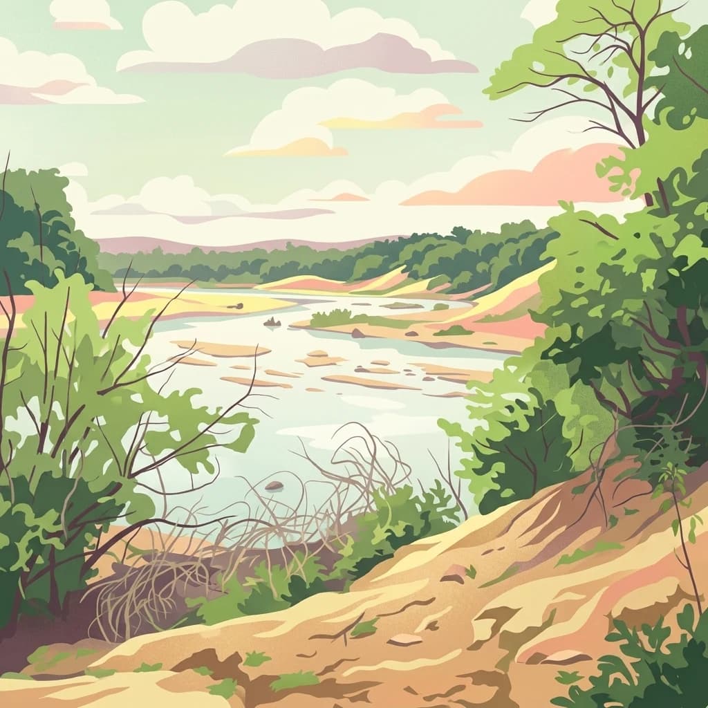
Senegal's largest protected wilderness and a UNESCO World Heritage Site preserving West African savannah ecosystems
Niokolo-Koba National Park
Niokolo-Koba National Park is Senegal's largest national park and one of West Africa's most significant protected wilderness areas. Located in the southeastern part of the country near the Guinea border, the park encompasses a vast expanse of woodland savannah, semi-arid forest, and seasonal wetlands centered around the upper reaches of the Gambia River. Established first as a reserve in 1925 and declared a national park in 1954, the area was inscribed as a UNESCO World Heritage Site in 1981 and functions as a UNESCO-MAB Biosphere Reserve, reflecting its international importance for conservation. The park is particularly renowned for its populations of western giant eland, African elephants, lions, and chimpanzees, representing some of the last remaining large mammal communities in the region. Its gallery forests, which contain 78% of Senegal's total gallery forest habitat, provide critical corridors for wildlife movement through the savannah landscape.
- Location
- Senegal
- Park type
- National park
- Established
- 1954
- Area
- 9,130 km²
Location overview
Regional distribution and official location data within Senegal
Niokolo-Koba National Park Geographic Location and Regional Settings
Niokolo-Koba National Park is situated in Senegal, spanning the regional territories of Kolda and Tambacounda. As an inland reserve, it operates entirely within national borders with no marine or coastal extensions.
- Countries
- Senegal
- Regions
- Kolda Region, Tambacounda Region
- Primary location
- Senegal
- Geographic setting
- Inland
Boundary and coordinates
Mapped spatial geometry and calculated area metrics for the protected zone
Niokolo-Koba National Park Boundary Map and Geographic Extent
The interactive boundary outline provides clear spatial context for the protected territory. Accompanying measurements detail the recorded area, coordinate limits, and geographic spans.
- Boundary area
- 8,269.1 km²
- Boundary perimeter
- 583.7 km
- Northernmost point
- 13.3781° N
- Southernmost point
- 12.627° N
- Easternmost point
- 12.3838° W
- Westernmost point
- 13.7102° W
- Geographic centre
- 13.0063° N, 13.0317° W
- North–south span
- 83.1 km
- East–west span
- 143.9 km
Elevation and terrain
Upland topography ranges from sixteen to three hundred eleven meters
Niokolo-Koba National Park Terrain and Elevation Summary
Recorded elevation data outlines the upland terrain profile across the protected area. Associated feature cards detail constituent streams, rivers, and wetlands located within the boundary.
Elevation span
295 m
Vertical extent from the lowest to the highest recorded elevation in the park
- Minimum elevation
- 16 m
- Maximum elevation
- 311 m
Selected named natural features
Streams
Fata Sankala
Streams
Tia Boulou
Streams
Ouasson
Wetlands
Mare de Sitandi
Wetlands
Mare de Woëniri
Environmental setting
Tropical upland relief combined with partial forest cover and wetlands
Niokolo-Koba National Park Environmental Settings and Habitat Classifications
Recorded habitat types and landscape features serve as complementary frameworks for reading the physical setting of Niokolo-Koba National Park. Stored categories link directly to corresponding environmental records across the wider protected area atlas.
- Relief
- Upland
- Climate
- Tropical
- Water
- Minor water
- Forest cover
- Partial forest
Landscape features
Rivers · Wetland · Woodland · Grassland
Habitat types
Temperate broadleaf forest · Grassland · Wetland · Riverine habitat
Park atlas
Map Regional Protected Landscapes and Compare Conservation Areas Across Senegal and West Africa
Explore Other National Parks and Protected Areas Near Niokolo-Koba National Park, West Africa
After exploring Niokolo-Koba National Park, browse other national parks and protected areas located throughout Senegal and the wider West African region. Compare diverse savanna ecosystems, gallery forests, and critical wildlife habitats to understand the broader conservation landscape of Western Africa.
National parkGuinea
About 5.5 km away#1 closest
Southwest

Badiar National Park: A Transboundary Protected Landscape in Northeastern Guinea
Exploring savanna ecosystems and riverine corridors
Badiar National Park encompasses over 1,200 square kilometers of diverse West African terrain in northeastern Guinea. This protected area features a unique mosaic of open woodlands, savanna, and lush gallery forests along the Koulountou River. Serving as a transboundary ecological link, the park provides an essential habitat corridor that is critical for regional biodiversity and landscape-scale conservation planning within the West African savanna belt.
- Area
- 1,228 km²
- Established
- 1985
- IUCN
- II
- Relief
- Lowland
Protected areaGuinea
About 124 km away#2 closest
South
Forêt classée de Nialama: Protected Landscape and Fouta Djalon Highland Geography
Exploring the forest mosaic and habitat boundaries in Guinea.
Forêt classée de Nialama represents a complex protected landscape covering 10,000 hectares of the Fouta Djalon highlands. The area features a distinct blend of gallery forest, bamboo stands, and seasonal wetlands. Known for its role in chimpanzee conservation and avian diversity, this site offers a window into the varied Sudano-Guinean terrain and highland forest ecosystems of Guinea.
- Area
- 100 km²
National parkCentral River Division
About 150 km away#3 closest
West

River Gambia National Park: National Park Geography and Protected Landscape Atlas
Discover mapped boundaries within Central River Division.
River Gambia National Park represents a key protected area within the Central River Division, offering specific geographic insights for atlas exploration. This page details the park's mapped boundaries and its role as a national park, providing a factual basis for understanding its landscape context and regional importance. Explore the geographic features that define this protected natural area.
- Area
- 5.85 km²
- Established
- 1978
- IUCN
- II
- Relief
- Lowland
National parkMali
About 176 km away#4 closest
East

Wongo National Park: Discover Its Protected Landscape and Geographic Atlas Context in Mali
Explore Mali's Wongo National Park mapped boundaries and regional natural landscapes.
Wongo National Park represents a significant protected area within Mali, offering a distinct entry point for exploring national park geography and mapped landscapes. This designation within the West African region provides valuable insight into protected land distribution and the surrounding natural terrain. The park's context within the broader atlas framework allows for detailed investigation of its boundaries and its place within the country's ecological and geographic framework, supporting structured discovery.
- Area
- 534 km²
- Established
- 2002
- IUCN
- II
- Climate
- Temperate
Protected areaGuinea
185 km away#5 closest
Southwest
Rio Pongo: A Protected Estuarine Wetland Landscape in Coastal Guinea
Mapping mangrove forests, tidal mudflats, and coastal ecology
Rio Pongo is a prominent protected area in Guinea, characterized by a complex network of brackish tidal channels and dense mangrove forests. The site serves as a crucial habitat for waterbirds and aquatic mammals, while its position at the edge of the Atlantic Ocean defines a dynamic, low-lying coastal terrain that remains vital for regional conservation and ecological research.
- Area
- 300 km²
- Established
- 1992
- Water
- Water-dominated
National parkMali
About 189 km away#6 closest
East
Bafing National Park: Mali National Park Atlas and Protected Woodland Landscape
Explore the unique chimpanzee habitat and bird conservation within this West African savanna.
Bafing National Park is a cornerstone of conservation in Mali, recognized for its exclusive role in protecting chimpanzee populations within the Manding Plateau region. This extensive national park features a predominant woodland ecosystem interspersed with savanna areas, providing critical habitat for numerous bird species as designated by BirdLife International. Understanding Bafing National Park's mapped geography and protected landscape offers insight into vital primate and avian conservation efforts in West Africa.
- Area
- 5,000 km²
- Established
- 2000
- IUCN
- II
- Relief
- Upland
National parkGuinea-Bissau
About 197 km away#7 closest
Southwest

Cufada National Park: Guinea-Bissau's National Park Protected Landscape Identity
Mapped geography and protected area context for exploration.
Discover the geographic setting and protected landscape of Cufada National Park, a designated national park in Guinea-Bissau. This destination offers insights into the park's mapped boundaries and its role within the nation's natural terrain, providing valuable context for anyone exploring West African protected areas and regional geography through an atlas lens.
Protected areaGuinea-Bissau
About 197 km away#8 closest
Southwest
Lagoas Cufada Natural Park: Explore Guinea-Bissau's Protected Area Geography and Mapped Landscape
Regional geographic context and protected landscape identity.
Lagoas Cufada Natural Park represents a key protected area within Guinea-Bissau, contributing to the nation's conservation landscape. This entry focuses on its geographic identity, providing users with mapped boundary information and an understanding of its place within the regional geography. It serves as a foundation for exploring the park's specific natural landscape characteristics and its atlas-based significance.
MoriAtlas Explorer
Continue Exploring Niokolo-Koba National Park's Geographic Context and Mapped Landscapes
Further your understanding of Niokolo-Koba National Park by examining its precise geographic setting and protected landscape features. This exploration extends beyond basic identification, offering a structured view of its boundaries and regional significance. Discover how this Senegalese national park contributes to the mapped geography of West Africa and enhances an atlas of protected areas.
Browse next
Global natural geography
Explore related park routes
Explore MoriAtlas Global ParksBrowse All MoriAtlas ParksGlobal Park Map DiscoveryMoriAtlas: Browse All CountriesBrowse All MoriAtlas ContinentsNational Park Environment AtlasGrand Canyon National Park AtlasYellowstone National Park AtlasYosemite National Park Atlas and GeographySerengeti National Park AtlasGalápagos National Park Protected LandscapeBanff National Park Geography and AtlasKruger National Park Atlas EntryExplore Uluru-Kata Tjuta National Park GeographyPlitvice Lakes National Park AtlasFiordland National Park Protected LandscapeGreat Smoky Mountains National Park AtlasZion National Park Protected Landscape AtlasAfghanistan National Parks and Protected AreasAlbania National Parks and Protected AreasAlgeria National Parks and Protected AreasAmerican Samoa National Parks and Protected AreasAndorra National Parks and Protected AreasAngola National Parks and Protected AreasAntarctica National Parks and Protected AreasAntigua and Barbuda Park List