Mori Atlas logo
Park earthquake history

Review recorded epicentres, event magnitudes, and geographical distances for the reserve.

Historical Earthquake Records and Seismic Activity Catalogue for Nor Yauyos-Cochas Landscape Reserve

Explore a structured catalogue of historical seismic events associated with the geographical area of Nor Yauyos-Cochas Landscape Reserve. This resource provides clear access to recorded earthquake data including event dates, magnitudes, and focal depths to support better understanding of regional seismic patterns. All records are organized by their proximity to the protected landscape, offering a transparent view of recorded occurrences near the high-mountain terrain of the central Peruvian Andes.

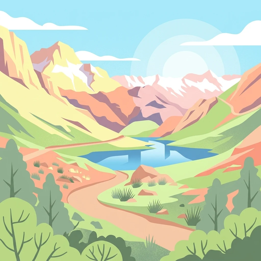
A flat-style vector illustration of a mountain valley with a central blue lake, surrounding peaks, and a winding dirt path.

An Andean landscape reserve protecting high-altitude lakes, deep caves, and pastoral communities along the western Peruvian cordillera.

Nor Yauyos-Cochas Landscape Reserve

The Nor Yauyos-Cochas Landscape Reserve is a protected area in the central Peruvian Andes, spanning parts of the Lima and Junín regions. It covers a substantial high-mountain territory characterized by deep valleys, glacial catchment basins, and a network of alpine lakes that give the reserve its identity. The reserve is recognized for harboring two extraordinary subterranean features: Sima Pumaqucha, regarded as one of the deepest caves in South America, and Qaqa Mach'ay, the highest surveyed cave in the world. These karst systems add a distinct underground dimension to an otherwise dominant surface landscape of peaks, grasslands, and remote pastoral terrain. Beyond its geology, the landscape reserve preserves traditional Andean land use, where highland communities continue to manage livestock and cultivate terraces in the sheltered valleys. The combination of ecological protection, geological significance, and living cultural landscapes gives the reserve a unique character among Peru's protected natural areas.

Location
Peru
Park type
Protected landscape
Established
2001
Area
2,212.7 km²
Highest point
5,750 m
Nor Yauyos-Cochas Landscape Reserve Map

Navigate Nor Yauyos-Cochas Landscape Reserve events by distance

Browse earthquakes near Nor Yauyos-Cochas Landscape Reserve

Investigate historical seismic records around Reserva Paisajística Nor Yauyos-Cochas, a 2,212.68 km² mountain landscape reserve in Peru with major water presence; results preserve each event's epicentre, date, magnitude, depth, locality, source, and calculated separation. This geographic relation is not a boundary claim, impact assessment, current warning, or prediction.

Sort by
Magnitude
Location

This page describes catalogued earthquakes associated with the park by epicentre location and distance. It does not establish causation, assess current danger, or predict future earthquakes.

No earthquake records match the current filters

Park atlas

Leave Peru's high lakes, caves, and pastoral Andes for new places

Journey beyond Nor Yauyos-Cochas Landscape Reserve

Nor Yauyos-Cochas situates its earthquake record within a western Andean reserve of high-altitude lakes, deep caves, and living pastoral landscapes. The onward links are independent and do not indicate shared landscape-reserve designation, mountain scenery, geology, seismic conditions, proximity, risk, or source consistency.
A horizontal watercolor illustration depicting rolling green hills and foreground vegetation on a white background.
Nature reserveLima Region
44 km away#1 closest

West

Bosque de Zárate Reserved Zone: Mapped Geography and Protected Landscape Analysis

Andean fog forest terrain within the Lima Region

Bosque de Zárate Reserved Zone provides a distinct look at the transition from arid western Andean slopes to lush mist forests. The reserve preserves critical habitat for endemic bird species and stabilizes vital gorge terrain along the San Bartolomé River, serving as a model for protected landscapes in central Peru.

Area
5.46 km²
Established
2010
Water
Minor water
A horizontal watercolor illustration depicting a serene wetland landscape with low green hills, winding water channels, and light pink clouds in the background.
Wildlife reservePeru
99 km away#2 closest

West

Pantanos de Villa Wildlife Refuge: A Protected Coastal Marsh in Metropolitan Lima

Mapping the brackish lagoons and desert wetland geography

Pantanos de Villa Wildlife Refuge functions as a rare coastal wetland system located in the Chorrillos district of Lima, Peru. Its marshy terrain of brackish lagoons and reed beds represents a vital protected landscape that stands in sharp relief against the surrounding Pacific subtropical desert. This refuge provides essential habitat for migratory waterbirds and serves as a key site for understanding urban-edge conservation and hydrology.

Area
2.63 km²
Established
2006
IUCN
IV
Relief
Lowland
Nature reserveLima Region
About 124 km away#3 closest

West

Ancón Reserved Zone: Protected Coastal Desert and Bay Ecosystems in Lima Region

Coastal desert landscapes and marine habitat protection

The Ancón Reserved Zone represents a key protected area where the dry coastal plains of Peru reach the Pacific Ocean. Its mapped boundaries encompass a critical transition zone between arid desert terrain and marine environments, offering a concentrated look at specialized regional ecology within the Lima Province.

Area
21.93 km²
Established
2013
Relief
Lowland
Climate
Arid
National parkPasco Region
134 km away#4 closest

North

Yanachaga, Chemillén National Park: Protected Area in Pasco Region, Peru

Mapped terrain, Pleistocene refuge, and rich biodiversity.

Yanachaga, Chemillén National Park, a national park situated in Peru's Pasco Region, preserves over 122,000 hectares of mountainous cloud forest and rainforest ecosystems. Its landscape is characterized by dramatic canyons and steep forested slopes, creating significant altitudinal variation from 460 to 3,643 meters. Recognized as a Pleistocene refuge, the park shelters ancient forest remnants and harbors exceptional biodiversity, including hundreds of bird species and iconic mammals, offering rich context for geographic and protected-area exploration.

Area
1,220 km²
Established
1986
IUCN
II
Relief
Mountain
A horizontal watercolor painting showing rolling green hills and pinkish ground vegetation under a soft, light-yellow sky.
Protected areaPasco Region
138 km away#5 closest

Northeast

San Matías, San Carlos Protection Forest: Geographic Boundaries and Protected Landscape Context

A vital watershed corridor in the Pasco Region of central Peru.

San Matías, San Carlos Protection Forest protects fragile mountain soils and downstream infrastructure from erosion and flooding. Stretching from 300 to 2,250 metres in elevation, the reserve supports a continuous block of highland habitat that serves as a bridge between the Peruvian Yungas and Ucayali moist forest ecoregions, while acting as a cornerstone of the Oxapampa-Asháninka-Yánesha Biosphere Reserve.

Area
1,458 km²
Established
1987
IUCN
VI
Relief
Mountain
Protected areaOxapampa Province
156 km away#6 closest

North

Yanesha Communal Reserve: Geography and Protected Area Context in Oxapampa Province

A vital transition zone between the Andes and the Amazon

Gain insight into the physical character of Yanesha Communal Reserve, where humid tropical forests and river channels converge to form a complex ecosystem. This protected area offers a look at how sustainable land use and conservation intersect within the Palcazu River basin. Browse the geographic boundaries and mapped landscape features that define this essential region in central Peru.

Area
347.45 km²
Established
1988
IUCN
VI
Scope
Terrestrial
Nature reservePeru
170 km away#7 closest

Northwest

Cordillera Huayhuash Reserved Zone: Protected Mountain Geography and Andean Watersheds

High-altitude glacial terrain in central Peru

Cordillera Huayhuash Reserved Zone comprises a dense concentration of glacial peaks and highland basins. As a major source of water for both the Pacific coast and the Amazon, this protected area represents a unique geographic crossroads where ice fields and alpine puna support critical regional ecosystems in the heart of the Andes.

Area
675.9 km²
Established
2002
Relief
Mountain
Climate
Alpine
National parkPeru
179 km away#8 closest

East

Otishi National Park: A Protected National Park Landscape in Peru's Geography

Explore the mapped boundaries and regional landscape of Otishi National Park.

Otishi National Park represents a significant protected area within Peru, offering a unique lens through which to explore regional geography and conservation landscapes. As a designated national park, it highlights the mapped boundaries and the natural terrain that defines this part of South America. Understanding Otishi National Park provides essential context for regional park discovery and the broader atlas of protected lands in Peru.

Area
3,059.73 km²
Established
2003
IUCN
II
Relief
Mountain
MoriAtlas Explorer

Examine the Protected Geography of Nor Yauyos-Cochas Landscape Reserve

Deepen your understanding of this high-mountain protected landscape by reviewing its mapped terrain and alpine geography. MoriAtlas organizes complex protected areas into actionable spatial data, revealing the intersection of karst geology and high-Andean ecosystems within the Lima Region.