

Capes
Park geography
A structured mapping of regional spans, terrain features, and landscape classifications
Geography and Physical Boundaries of Northeast Greenland National Park in Greenland
Analyze the expansive geography of Northeast Greenland National Park, encompassing 972000 km2 across the Avannaata and Sermersooq regions. This profile maps the protected landscape, including coastal environments, glaciers, and mountainous terrain, while identifying key natural landmarks contained within its documented perimeter.
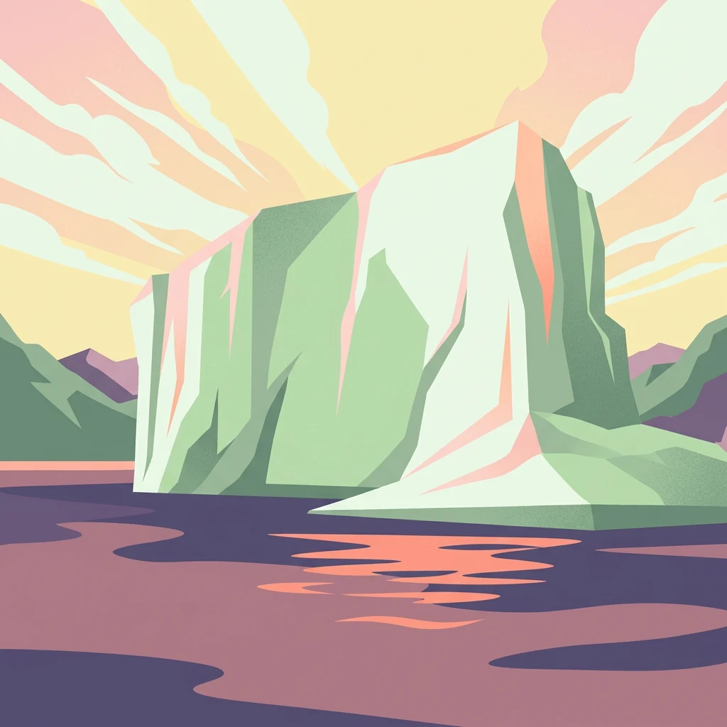
World's largest national park, a vast Arctic wilderness protecting Greenland's northeastern interior and coast
Northeast Greenland National Park
Northeast Greenland National Park stands as the world's largest national park, encompassing an extraordinary 972,000 square kilometers of Arctic wilderness along Greenland's northeastern coast and interior. Established in 1974 and expanded to its present size in 1988, this vast protected area spans a landscape of dramatic contrasts — from the massive Greenland Ice Sheet in the interior to rugged coastal fjords, ice-free highlands, and some of the northernmost land areas on Earth. The park represents one of the most pristine Arctic environments remaining on the planet, with no permanent human population and among the lowest visitor numbers of any national park worldwide. Its ecological significance is profound, protecting critical habitat for musk oxen, polar bears, walrus, and numerous Arctic bird species within a landscape of unparalleled remoteness and wilderness character.
- Location
- Greenland
- Park type
- National park
- Established
- 1974
- Area
- 972,000 km²
Location overview
Coastal territory across Avannaata and Sermersooq
Northeast Greenland National Park Regional Geography
Northeast Greenland National Park spans the regions of Avannaata and Sermersooq within Greenland. Regional mapping confirms its status as a coastal park without transboundary or marine classifications.
- Countries
- Greenland
- Regions
- Avannaata, Sermersooq
- Primary location
- Greenland
- Geographic setting
- Coastal
Boundary and coordinates
Mapped perimeter geometry, coordinate limits, and spatial extent metrics
Northeast Greenland National Park Boundary Map and Geographic Extent
Visualized boundary geometry provides spatial context for the entire protected territory. Accompanying metrics detail total calculated area, coordinate limits, and geographic spans without claiming legal survey precision.
- Boundary area
- 967,176.4 km²
- Boundary perimeter
- 4,352.9 km
- Northernmost point
- 83.7253° N
- Southernmost point
- 70.9996° N
- Easternmost point
- 11.0277° W
- Westernmost point
- 63.4406° W
- Geographic centre
- 78.0663° N, 34.1214° W
- North–south span
- 1,420.6 km
- East–west span
- 1,238.3 km
Terrain and natural features
Explore recorded glaciers, peaks, islands, and lakes within the landscape
Northeast Greenland National Park Terrain and Named Natural Features
Mixed mountain terrain classifications organize the protected landscape, encompassing recorded glaciers, peaks, and islands situated inside the regional boundaries. Linked feature cards supply names, types, and spatial relationships for verified landforms.
Selected named natural features
Capes
Næsen
Capes
Hareskindpynten
Capes
Kap Povl
Capes
Kap Marie Dijmphna
Peaks
Mallory Fjeld
2,040 m
Environmental setting
Analysis of recorded glacial terrain, coastal wetlands, and tundra habitat profiles
Environmental Setting and Landscape Classifications of Northeast Greenland National Park
Recorded physical classifications provide complementary ways to read the diverse terrain of Northeast Greenland National Park without implying uniform regional coverage. Structured records connect each environmental category to relevant atlas destinations across the protected territory.
- Relief
- Mixed relief
- Water
- Major water bodies
- Forest cover
- No forest cover
- Seasonality
- Year-round
Landscape features
Glacier · Mountains · Cliffs · Coast · Wetland
Habitat types
Tundra habitat · Glacial habitat · Coastal habitat
Park atlas
Trace the geographic spread of Arctic protected landscapes and compare other remote wilderness areas.
Explore Nearby National Parks and Protected Areas in the Arctic Region, Beyond Northeast Greenland National Park
From Northeast Greenland National Park, explore additional national parks and protected areas within the broader Arctic region, tracing diverse polar desert and coastal fjord landscapes. Compare the unique geographic context and conservation efforts of various remote Arctic wildernesses, enhancing your understanding of global protected-area distribution.
National parkNunavut
17 km away#1 closest
Northwest

Quttinirpaaq National Park: A Detailed Look at its Protected Landscape and Nunavut Geography
Mapped boundaries and regional context for this significant Arctic national park.
Gain a comprehensive understanding of Quttinirpaaq National Park, a protected national park located in the expansive region of Nunavut, Canada. This resource delves into the park's geographic identity, its mapped contours, and its position within the broader arctic landscape context. It is designed to support atlas-based exploration and a detailed appreciation of this protected area's unique setting within Northern Canada's geography.
- Area
- 37,775 km²
- Established
- 1988
- IUCN
- II
- Visitors
- 7 annual
National parkSvalbard
408 km away#2 closest
Northeast

Nordvest-Spitsbergen National Park: Protected Arctic Landscape and Geographic Atlas
Explore unique hot springs, glacial terrain, and polar expedition history.
Nordvest-Spitsbergen National Park, a protected national park in Norway's Svalbard archipelago, showcases dramatic Arctic geography. This page details its mapped landscapes, from volcanic terrains and glacial valleys to its famed northernmost hot springs. Discover the park's protected area status, its role in regional geography, and its historical significance for polar exploration, providing a rich context for atlas-based exploration.
- Area
- 9,914 km²
- Established
- 1973
- IUCN
- II
- Relief
- Mixed relief
National parkSvalbard
About 528 km away#3 closest
Northeast
Forlandet National Park: High Arctic Protected Landscape and Global Wildlife Limits
Explore mapped geography and protected ecosystem boundaries in Svalbard.
Forlandet National Park stands as a crucial element in the Arctic atlas, safeguarding the island of Prins Karls Forland and its surrounding marine territories. As the world's most northerly national park, it showcases a unique High Arctic landscape defined by stark coastal cliffs and vital waters supporting specialized wildlife. This protected area is recognized for harboring the most extreme northern populations of seals and common guillemots, making it a significant site for understanding polar ecosystems and conservation efforts within the Svalbard region.
- Area
- 4,647 km²
- Established
- 1973
- IUCN
- II
- Relief
- Lowland
National parkNorway
About 571 km away#4 closest
Northeast
Indre Wijdefjorden National Park: Arctic Steppe and Fjord Protected Landscape Exploration
Mapped protected boundaries and unique terrain in Svalbard.
Discover the unique High Arctic steppe and dramatic fjord landscape of Indre Wijdefjorden National Park, a protected area in Svalbard, Norway. This park safeguards a rare ecosystem with endemic plant species, offering exceptional insights into Arctic geography and protected land conservation. Explore its mapped boundaries and distinct terrain, a key destination for atlas-based landscape discovery.
- Area
- 1,127 km²
- Established
- 2005
- IUCN
- II
- Relief
- Mountain
National parkSpitsbergen
About 591 km away#5 closest
Northeast
Nordre Isfjorden National Park: Arctic Coastal Protected Landscape
Discover Spitsbergen's mapped fjord geography and wildlife.
Nordre Isfjorden National Park on Spitsbergen offers a compelling view into a pristine Arctic environment. This protected national park encompasses dramatic coastal cliffs, tundra terrain, and the biologically rich waters of Isfjorden. It is renowned for supporting immense seabird colonies that rely on the nutrient-dense fjord, making it a significant site for understanding high Arctic ecosystems and marine protected areas.
- Area
- 2,954 km²
- Established
- 2003
- IUCN
- II
- Relief
- Lowland
National parkSvalbard
About 638 km away#6 closest
Northeast
Sassen, Bünsow Land National Park: A Mapped Arctic Glacial Landscape in Svalbard
Explore protected boundaries and polar terrain.
Sassen, Bünsow Land National Park, located in the heart of Spitsbergen, Norway, showcases a quintessential Arctic wilderness defined by its expansive glacial features and deeply incised valleys. This protected area, part of the Svalbard archipelago, offers rich geographic context through its mapped terrain, highlighting glacial processes that have shaped the landscape. Discover the unique polar environment and the significance of this national park within the broader Norwegian Arctic atlas.
- Area
- 1,230 km²
- Established
- 2003
- IUCN
- II
- Relief
- Mountain
National parkNorway
About 654 km away#7 closest
Northeast
Van Mijenfjorden National Park: Protected Arctic Fjord Landscape and Geography
Explore Svalbard's mapped glacial terrain and coastal ecosystems.
Van Mijenfjorden National Park offers a vital look into Svalbard's protected natural heritage, focusing on the prominent Van Mijenfjorden. This national park preserves a quintessential Arctic fjord landscape, characterized by dramatic glacial valleys, treeless tundra, and rugged mountain slopes meeting the Barents Sea. Use this atlas entry to comprehend the park's geographic scope, its mapped protected boundaries, and its representative value as a sub-Arctic conservation area within Norway.
- IUCN
- II
- Scope
- Mixed
- Water
- Major water bodies
National parkIceland
683 km away#8 closest
Southeast

Vatnajökull National Park: Iceland's Expansive Protected Glacier and Volcanic Terrain
Mapped boundaries of a UNESCO World Heritage site dynamic with fire and ice.
Vatnajökull National Park offers a profound exploration of one of Earth's most dynamic natural environments. This Icelandic national park protects the vast Vatnajökull ice cap, a landscape shaped by active volcanoes and powerful glacial forces, creating a region of extraordinary geographic diversity. Discover the mapped terrain, from subglacial mountain ranges to dramatic caldera systems, and understand the unique protected area context of this significant European natural heritage.
- Area
- 14,967 km²
- Established
- 2008
- IUCN
- II
- Relief
- Mountain
MoriAtlas Explorer
Continue Exploring the Geography of Northeast Greenland National Park
Delve deeper into the structured geographic context of Northeast Greenland National Park. Understand its immense scale, its position within the Arctic region, and the unique landscape features that define this unparalleled protected area. MoriAtlas provides the mapped details to appreciate its vastness and ecological significance for a comprehensive atlas discovery experience.
Browse next
Global natural geography
Explore related park routes
Explore MoriAtlas Global ParksBrowse All MoriAtlas ParksGlobal Park Map DiscoveryMoriAtlas: Browse All CountriesBrowse All MoriAtlas ContinentsNational Park Environment AtlasGrand Canyon National Park AtlasYellowstone National Park AtlasYosemite National Park Atlas and GeographySerengeti National Park AtlasGalápagos National Park Protected LandscapeBanff National Park Geography and AtlasKruger National Park Atlas EntryUluṟu-Kata Tjuṯa National Park AtlasExplore Uluru-Kata Tjuta National Park GeographyPlitvice Lakes National Park AtlasFiordland National Park Protected LandscapeGreat Smoky Mountains National Park AtlasAfghanistan National Parks and Protected AreasAlbania National Parks and Protected AreasAlgeria National Parks and Protected AreasAmerican Samoa National Parks and Protected AreasAndorra National Parks and Protected AreasAngola National Parks and Protected AreasAntarctica National Parks and Protected AreasAntigua and Barbuda Park List